Elevation: 10,693 ft
Prominence: 953
Climbing and access information for this peak is on Page 288 of the book. The route described below is not in the book. Updated November 2021
Sunset Peak is, perhaps, the best vantage point in the Lost River Range south of Pass Creek Summit. USGS Sunset Peak
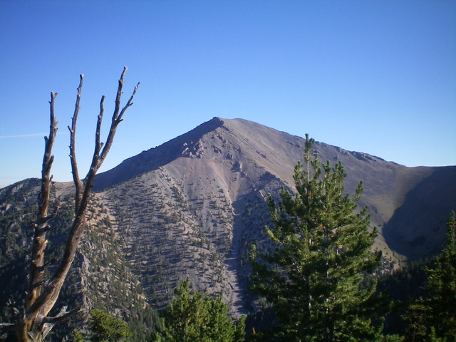
Sunset Peak as viewed from Peak 9755 to its south. Livingston Douglas Photo
Mud Lake Canyon/West Ridge Route, Class 2
This route leaves Pass Creek Road [(D) FS-122 on Page 294]. Look for the turnoff for Mud Lake Canyon (Black Tail Canyon Trail) [(D)(2) FS-094]. This route is 12.2 miles round trip.
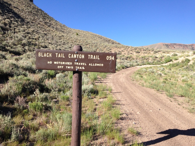
The USGS maps call the canyon Mud Lake Canyon but the Forest Service calls the trail the Black Tail Canyon Trail. It is passable for ATVs and self-propelled travel. This sign is found just off the main road.
The road/trail is easily followed until it ends at the base of the peak’s West Ridge. There is one spot at roughly 7,600 feet where the Forest Service has dragged logs across the trail for about 100 yards to keep ATVs from going farther. After this point, the road becomes a trail which dies out near the base of the West Ridge.
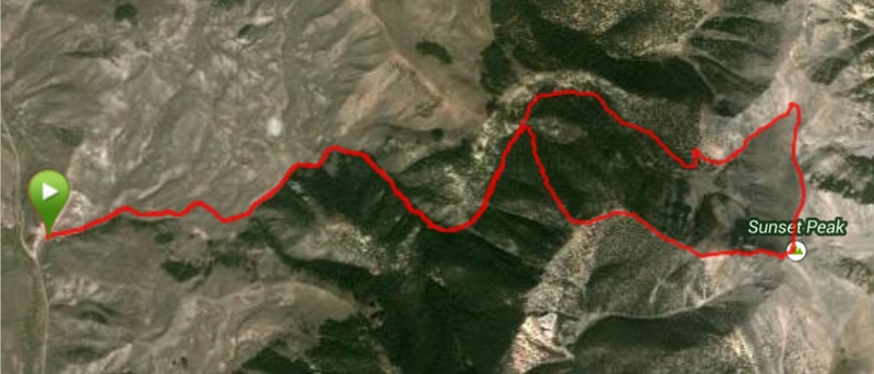
My GPS track for a traverse of the peak. We took the West Ridge up, dropped northwest off the summit, and descended the adjacent canyon.
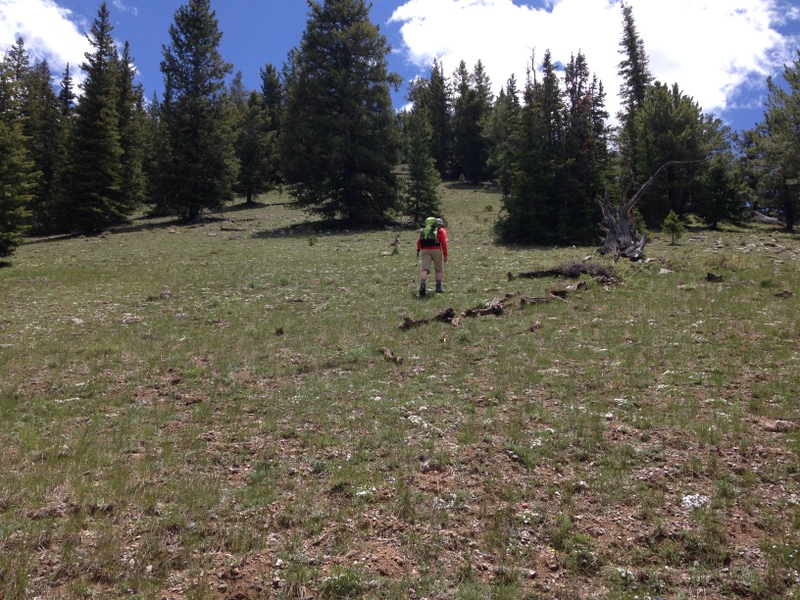
The lower portion of the West Ridge provides good footing and few obstacles.
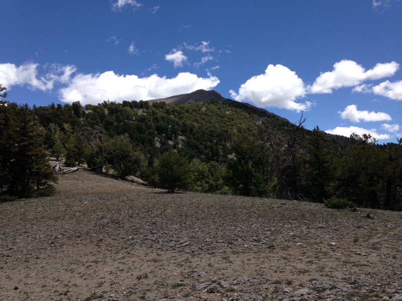
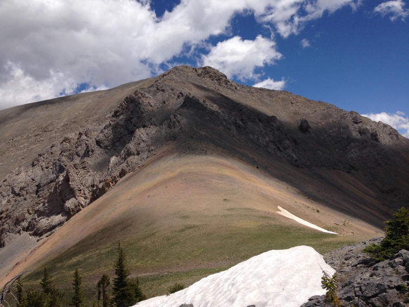
This view up the West Ridge from roughly 9,200 feet.
The final saddle is at 9,800 feet.
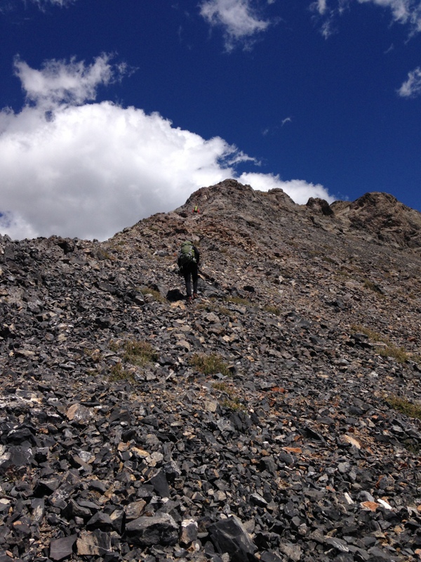
The final 300 feet crosses talus and a few rocky obstructions.
The final walk. There is a large cairn on the summit with a glass jar filled with bits of wet paper.
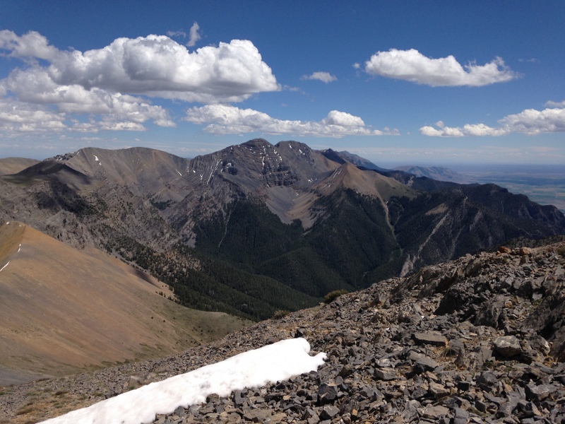
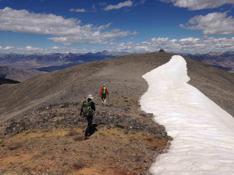
The view down the ridge crest to North Twin, South Twin, Red Cone, and Jaggle Benchmark.
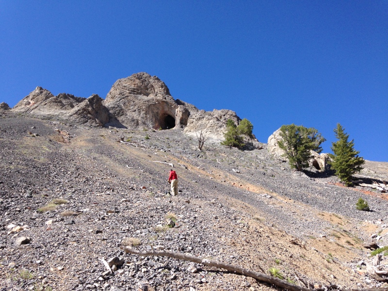
Descending the canyon that parallels the West Ridge on its North Side leads you past the large cave shown in this photo.
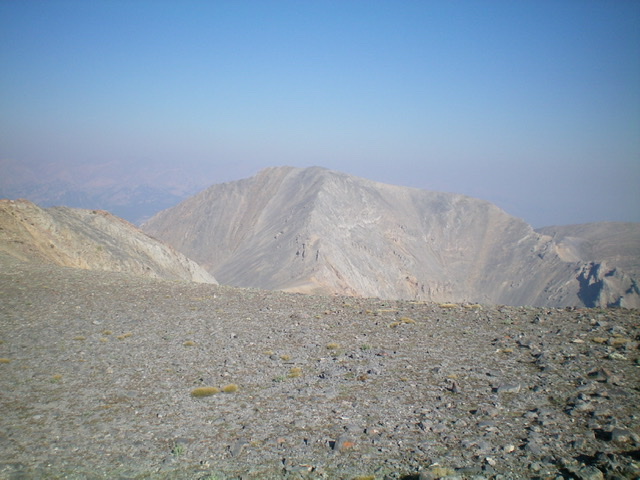
Sunset Peak as viewed from Sunrise Peak to its southeast. Livingston Douglas Photo
Additional Resources
