Elevation: 6,818 ft
Prominence: 1,198
This peak is not in the book. Paul LeClerc provided updated access and trail information. Updated November 2020
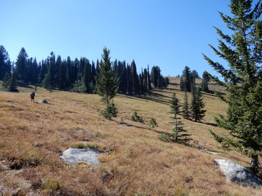
Bally Mountain is a former fire lookout site that is a worthwhile objective with big views from its summit. The peak is located on the West Edge of the Salmon River Mountains northwest of Goose Lake and Granite Mountain. There is a designated trail (of sorts) leading to its summit from the east. USGS Bally Mountain
Bally Mountain. John Platt Photo
Approach and Trail, Class 1+/Class 2
From New Meadows, Idaho drive north for 4.0 miles on US-95 and turn right on Circle C Ln. At the T, turn left. Circle C Ln eventually turns into Browns Creek Rd. Continue on FS-294 as the road meanders north and east for 10.5 miles. The trailhead is on the West Side of the road soon after the Granite Mountain trailhead. John Platt reports that finding the trailhead is complicated by the lack of poor or absent signing. Paul Leclerc adds “The beginning of trail FS166 has been maintained recently but there is still some deadfall. The trail still disappears after point 5770 as John Platt has noted.”
FST-166 is a trail that leads to the summit of Bally Mountain. According to the Forest Service, the trail is 1.75 miles long with 1,200 feet of elevation gain. Unfortunately (as of 2017), John Platt reports that while the trailhead is signed, the trail is in poor condition. John’s route (with bushwhacking thrown in) was slightly over 2 miles to the summit. Use the link below to read John’s trip report.
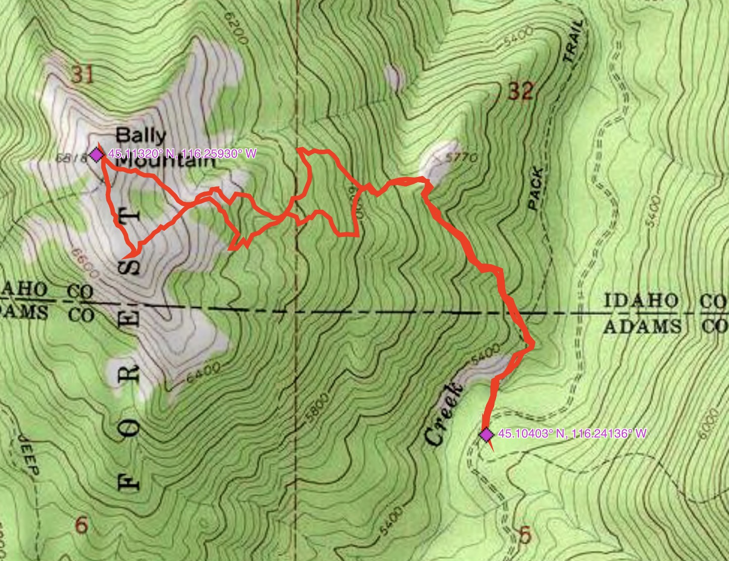
John Platt’s GPS track.
Additional Resources
Mountain Range: Western Salmon River Mountains
Longitude: -116.25929 Latitude: 45.11319