Elevation: 9,920 ft
Prominence: 980
Climbing and access information for this peak is on Page 124 of the book. Judi Steciak has provided new route information below. Dave Pahlas provided route information for the peak’s Southwest Ridge. Dave’s trip report is linked below. Updated September 2019
Sheepeater Mountain is a Bighorn Crag summit that is located due south of Mount McGuire. USGS Mount McGuire
West Face and North Ridge, Class 3 by Judi Steciak
From Ship Island Lake [(H)(4.1.1.1)(a.2.1) on Page 144] , walk south to the unnamed lake just below 8,100 feet. Follow the East Side of the lake and bushwhack up the drainage to Lake 8395. From the outlet of Lake 8395, head north to the ridge south of the pond at 8,502 feet. Once on the ridge crest, turn east and exercise your route-finding skills by working up through a series of cliffs (Class 3) to the broad slopes above. Continue to the crest of the North Ridge and follow it to the summit.
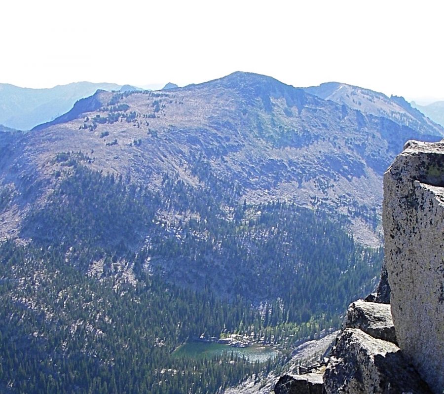
Sheepeater Mountain as viewed from Aggipah Mountain. You can see Lake 8395, the West Face and the North Ridge. Judi Steciak Photo
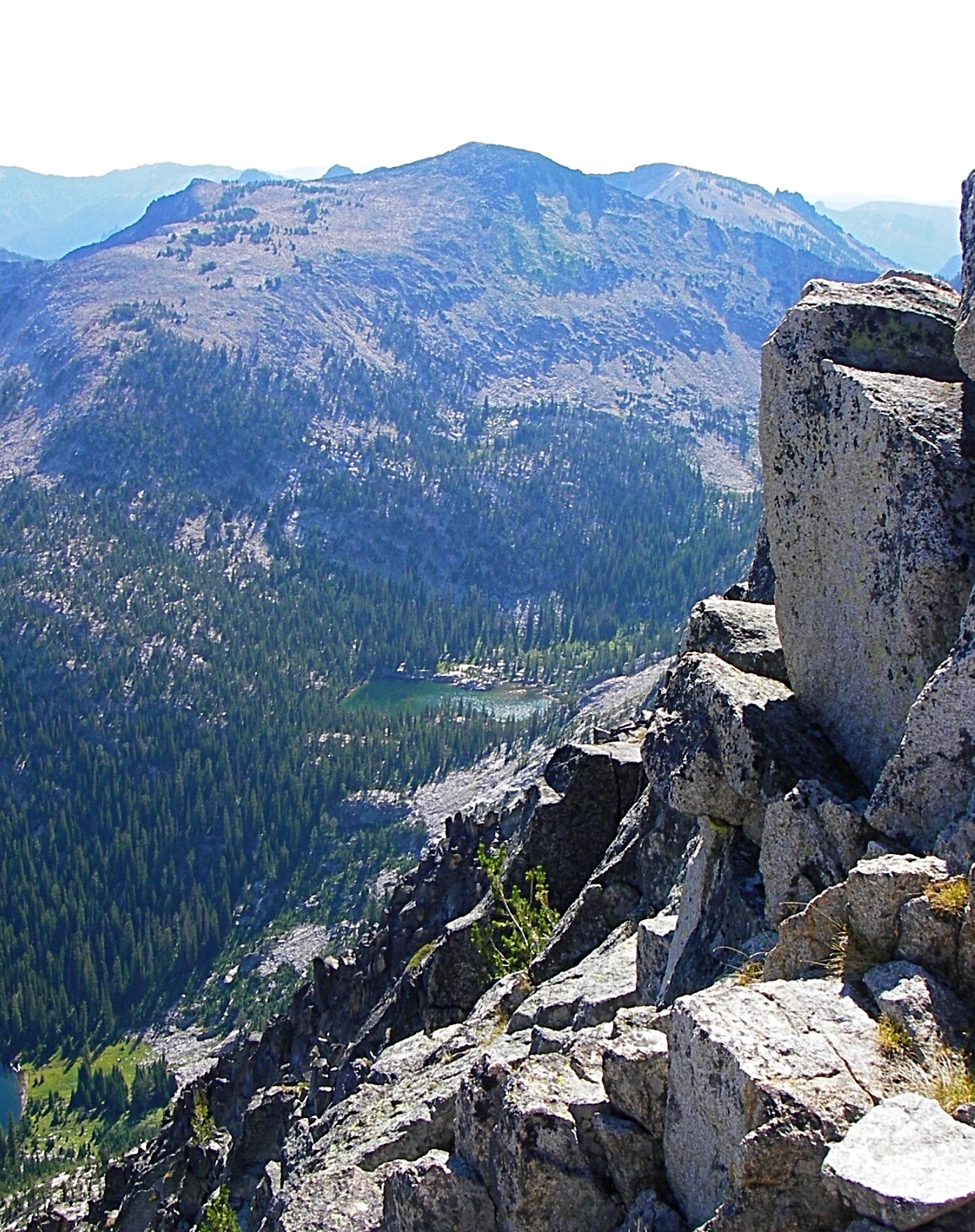
Ship Island Lake as viewed from the broad West Slopes of Sheepeater Mountain. Judi Steciak Photo
Southwest Ridge, Class 2+
Climb from the Waterfall Creek Peak/Sheepeater Mountain saddle.
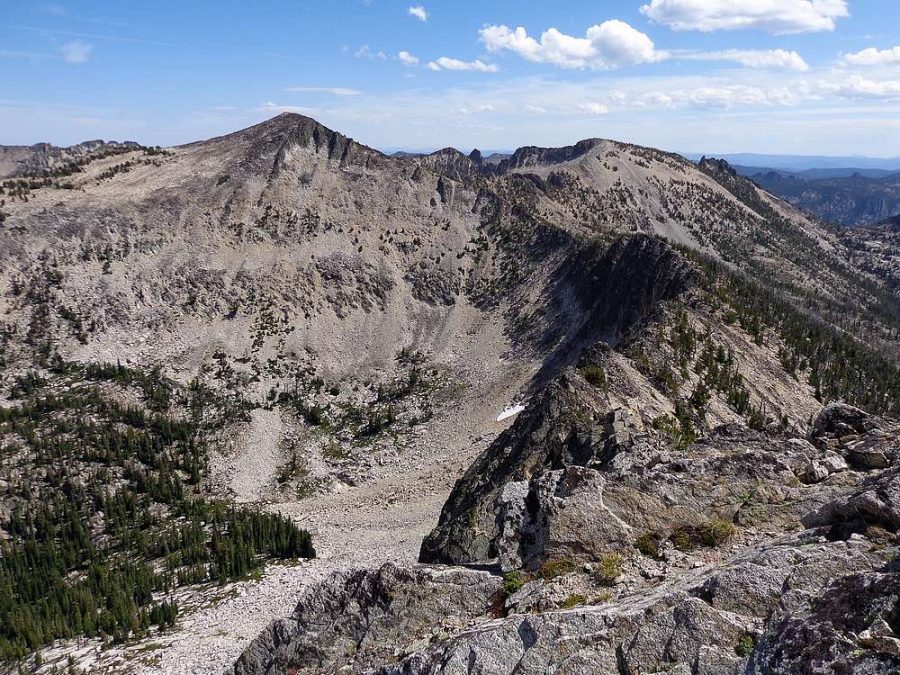
Sheepeater Mountain as viewed from Waterfall Creek Peak. Dave Pahlas Photo
Additional Resources
Mountain Range: Eastern Salmon River Mountains
Year Climbed: 1984
Longitude: -114.61129 Latitude: 45.14819