Elevation: 10,225 ft
Prominence: 165
Climbing and access information for this peak is on Page 210 of the book. Updated December 2021
Bromaghin Peak is located on a high ridgeline in the Smoky Mountains that runs from Galena Summit south to Saviers Peak.
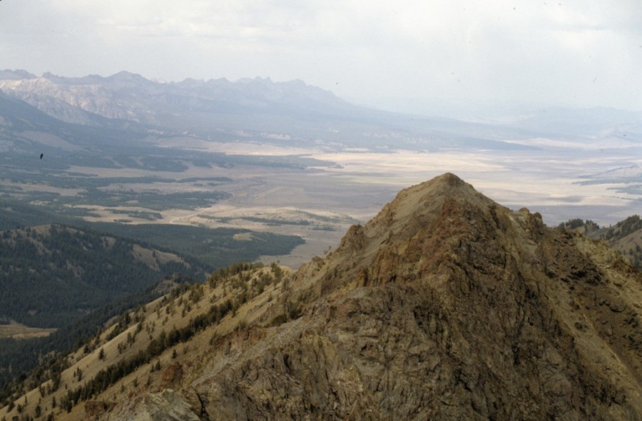
Bromaghin Peak as viewed from Saviers Peak
Access
Same as for Titus Weather Station. This is the fourth leg of a magnificent 5-peak ridge traverse that includes Titus Weather Station (9,921 feet), Lower Titus Peak (10,005 feet), Titus Peak (10,110 feet), Bromaghin Peak, and Saviers Peak (10,441 feet). The adventure covers 8.0 miles with 4,025 feet of elevation gain round trip.
Northeast Ridge, Class 2
The Climb
From the 9,700-foot connecting saddle with Titus Peak, scramble southwest up the open ridge crest to the rocky summit of Bromaghin Peak. I rebuilt the torn-down cairn atop the summit.
South Ridge, Class 2
The Descent
From the summit, descend south on the narrow, rocky ridge crest to quickly reach the small, 10,060-foot connecting saddle with Saviers Peak. This concludes the fourth leg of today’s 5-peak journey. Saviers Peak is up next.
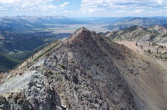
Bromaghin Peak as viewed from Saviers Peak. Dan Robbins Photo
Additional Resources