Elevation: 9,075 ft
Prominence: 580
Climbing and access information for this peak is on Pages 212-213. Judi Steciak provided the new route and access information set out below.Updated August 2021
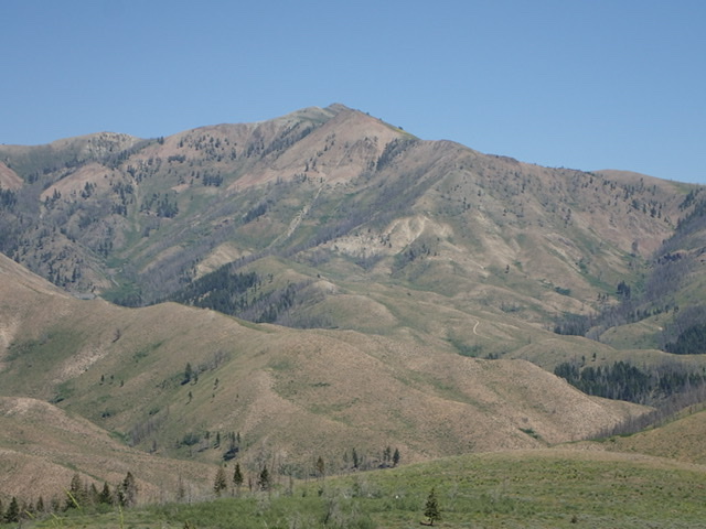
Buttercup Mountain is on the southern fringe of the Smoky Mountains. Although not one of the range’s big peaks, it is a great hiking destination. USGS Buttercup Mountain
Buttercup Mountain
Southwest Ridge, Class 2 by Judi Steciak
Buttercup Mountain’s southwest ridge forms a sinuous line that climbs up and joins the end of the route (described on pps. 212-213) from Willow Creek and the Buttercup Mine.
To reach the SW ridge, follow (B)(1) directions on p. 214 but before the washout that closes the road, cross Buttercup Creek on a spur road that leads up to a saddle on the SW ridge. The spur road is marked as 418Aon the Avenza app (and the road up Buttercup Creek is marked as 418). High clearance 4WD recommended.
From the saddle, an unofficial 4wd road leads up to the crest of the ridge (this is NOT the road on the topographic maps that crosses Nebraska Creek – little evidence of that road remains). Continue up the ridge up on generally good footing (albeit steep at times). On the false west summit (Pt. 8,803), the ridge narrows for a short ways and you can have fun scrambling or drop down a few feet to the S/E side. In late spring/early summer, a profusion of wildflowers makes up for the lack of shade along the ridge; the 2013 Beaver Creek fire destroyed the trees.
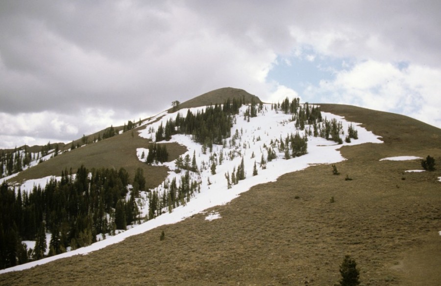
Buttercup Mountain from Ditto Flat. The southwest ridge snakes up to the right skyline. Judi Steciak Photo
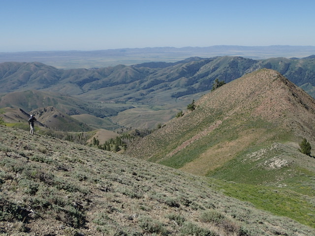
Descending toward the west summit. Judi Steciak Photo
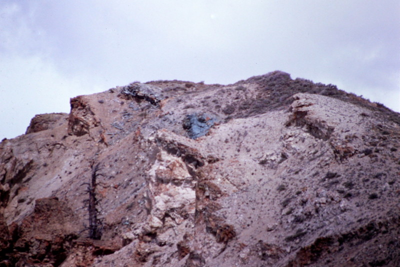
The summit block is a bit more rugged than you might expect.
Additional Resources