Elevation: 5,556 ft
Prominence: 256
This peak is not found in the book.
Casner Mountain is located south of Warm Springs Point and southwest of Idaho City. It is northeast of the confluence of Mores Creek and Grimes Creek, the two major drainages in the southwestern Boise Mountains. You have 2 options to reach the peak. USGS Warm Springs Point
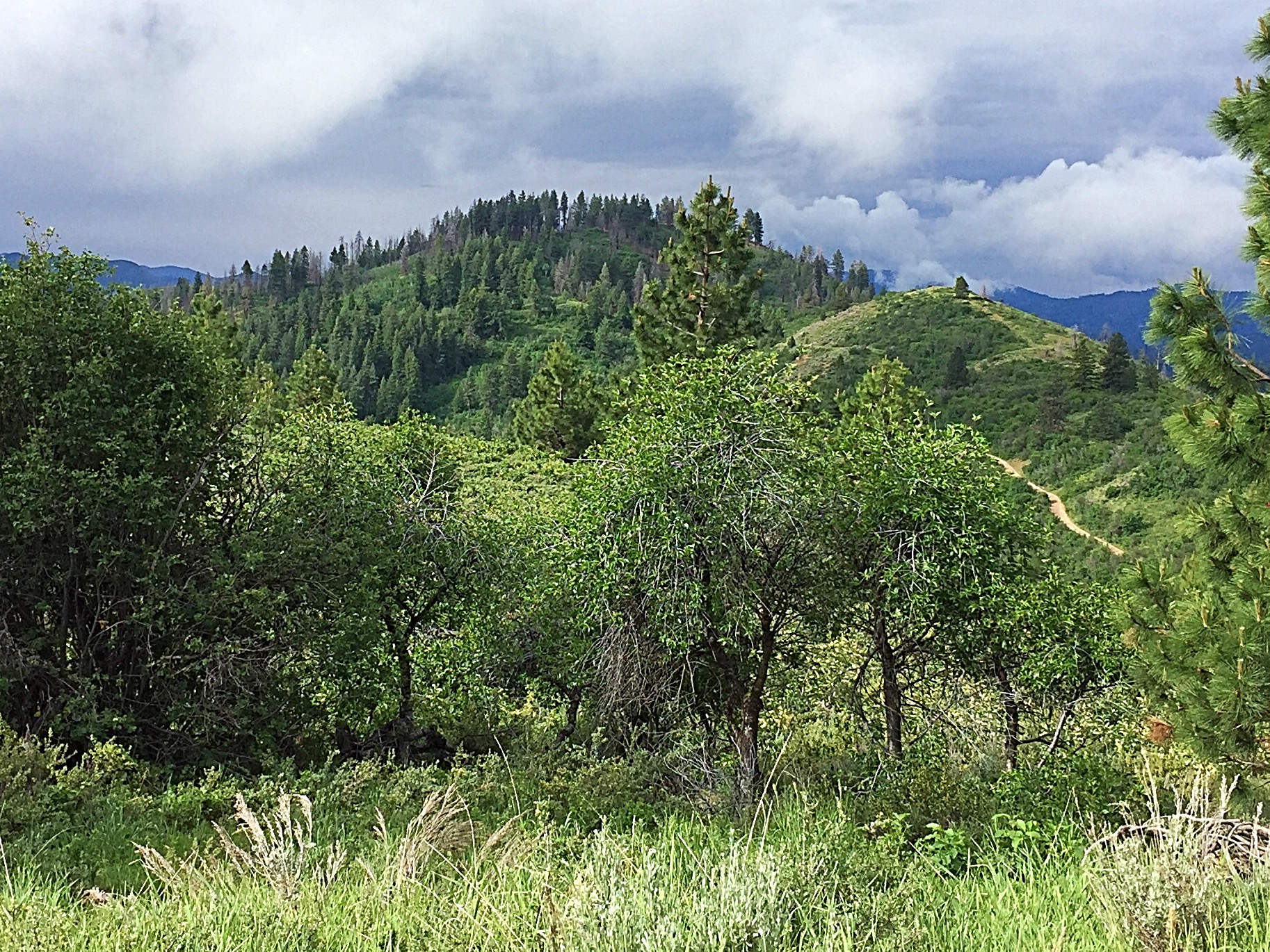
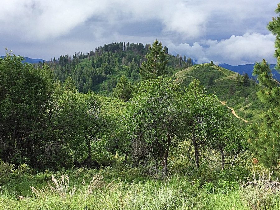
Casner Mountain as viewed from the north.
If you are also planning to approach Casner Mountain from the north via the Warm Springs Point approach, then follow Centerville Road northwest from Idaho City for 3.8 miles and the turn left onto FS-311. Follow FS-311 south for roughly 8.25 miles to the point where FS-311 begins its descent to ID-21. At this point you are due north of the summit. If you want to access the peak more directly, FS-311 can also be accessed from ID-21 at the confluence of Mores Creek and Grimes Creek.
Turn off ID-21 onto Grimes Creek Road and immediately turn right onto FS-311. Follow the road as it climbs up to the ridge directly north of Casner Mountain. FS-311 is a steep, narrow road but it does not necessitate a 4WD when dry. Check with the Forest Service for current conditions. From FS-311 north of the peak, an old, brushy road can be followed to the base of the summit. From this point, look for a skid road climbing up toward the top. This route climbs roughly 250 feet of elevation in 0.7 mile to the summit. Class 1+
Additional Resources
Regions: Boise Mountains->WESTERN IDAHO
Mountain Range: Boise Mountains
Year Climbed: 2017
Longitude: -115.95019 Latitude: 43.76369