Elevation: 5,730 ft
Prominence: 2,460
This p2k summit is not in the book and not really part of any Idaho Mountain Range.
Cottonwood Butte is located west of Cottonwood, Idaho. It is the highest culmination of the rolling hills that are known as the Camas Prairie (not to be confused with the Camas Prairie that sits between the Soldier Mountains and the Mount Bennett Hills).
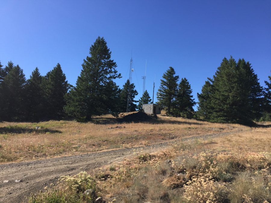
This peak is of interest to peakbaggers because it has 2,460 feet of prominence. The summit harbors various electronics facilities, some in use and some in disarray. Although the butte is private property a public, paved road leads almost to the summit.

The summit of Cottonwood Butte sits between the buildings in this photo.
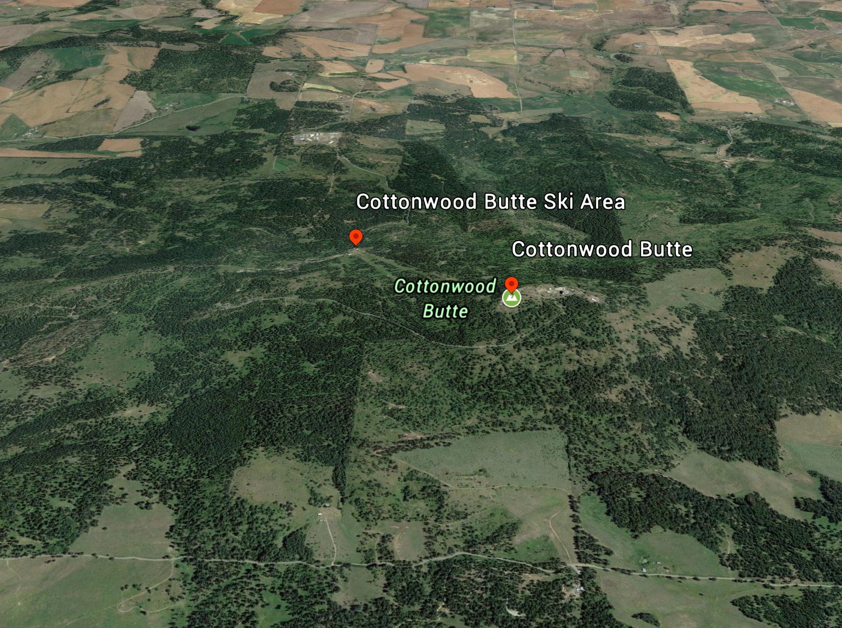
A Google Earth image of Cottonwood Butte.
Access and Standard Route, Class 1
Access the butte from US-95. Google Maps will give you good directions to the summit. The highway bypasses the town. Look for the sign for the Cottonwood Butte Ski area and turn west onto this road. Follow Cottonwood Butte Road out of the town until you reach the junction for the cottonwood State Correctional facility and the ski area. Here, the road’s name changes to Radar Road. Take this road all the way to its end nearly at the highest point where it ends. Park and follow a dirt road to the top of the butte which is nestled between two electronics installations.
Finally, if you travel all the way to Cottonwood, Idaho make sure you visit the museum at the Saint Gertrude Monastery. The museum houses many interesting artifacts. Make sure you check out the mineral collections and the map drawers.
USGS Topo: Keuterville
Additional Resources
Regions: NORTHERN IDAHO
Mountain Range: Clearwater Mountains
Year Climbed: 2017
Longitude: -116.46609 Latitude: 46.06909