Elevation: 5,691 ft
Prominence: 711
This peak is not in the book. There are two routes set out below. The first is mine and the second is by Livingston Douglas. Updated November 2019
Don Benchmark is an easy climb with exceptional views. The peak is located just north of US-20. Because of its proximity to the highway, it has been climbed with snowshoes during winter. However, if there is sufficient snow, avalanches are possible. So make sure the terrain is safe before attempting a winter ascent. There is a large cross on the summit. USGS Long Tom Reservoir
Access
Access the peak via the FS-131/Prairie Road/Pony Creek Road [(E)(1) on Page 155] which leaves US-20 14.6 miles north of Mountain Home. This road parallels the peak’s west slopes.
South Ridge, Class 2
You can ascend the peak’s south and west slopes from any point along the Pony Creek Road in the first 0.5 miles from US-20. To climb the south ridge, park in the large parking area just off US-20. Hike down the road, cross the cattle guard and make your way up the broad, sagebrush-covered ridge to the summit.
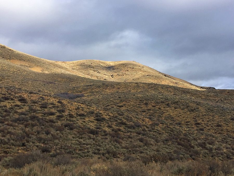
Don Benchmark as viewed from Pony Creek Road.
West Ridge SOUTH, Class 2 by Livingston Douglas
Access
From I-84 (Exit 95) in Mountain Home, drive 14.6 miles east on US-20 to reach [signed] Prairie/Pony Creek Road, FS-131 [(E)(1) on Page 155]. Go left/west on Prairie Road/FSR-131 and drive 1.8 miles to a dispersed campsite on a knoll on the left/south side of the road. Park here (5,080 feet).
The Climb
Don Benchmark has a west ridge that forks into a West Ridge NORTH and a West Ridge SOUTH. This route climbs the West Ridge SOUTH. From the roadside campsite, cross the road and bushwhack east briefly to reach the crest of the west ridge SOUTH. Follow the ridge crest east-southeast to a flat area just west of Point 5435. Drop left/north slightly to a saddle. Cross a cattle fence then contour northeast (skirting the right/east side of a ridge point) to reach the west ridge proper. Drop slightly to another saddle and cross another cattle fence.
From here, the ridge bends right/south to reach another gentle ridge hump. Now you can see the summit dead ahead to the east. Drop 40 feet to a final saddle then continue east then southeast to the summit of Don Benchmark. The summit has a 7-foot white wooden cross on top. A USGS benchmark is in a nearby ground boulder. This entire hike is in open terrain. The sagebrush is somewhat tedious but not too bad.
Additional Resources
Regions: Boise Mountains->Danskin Mountains->WESTERN IDAHO
Mountain Range: Boise Mountains
Year Climbed: 2017 2023
Longitude: -115.51109 Latitude: 43.28139