Elevation: 6,170 ft
Prominence: 653
This peak is not in the book. Also see the Owyhee Mountains Peaks List for all of the peaks in this range.
The Owyhee Mountains‘ northern escarpment faces the Snake River Plain and runs from northwest to southeast. The middle stretch is known as the Silver City Range. The southeast end of the Silver City Range is at Toy Pass. Moving farther to the southeast, the crest then climbs up to a second high point on the summit (Toy Mountain). From this point, the escarpment is cut by the Castle Creek drainage before it once again rises up to the the Rough Mountain Group which includes Doyle Mountain. USGS Pixley Basin

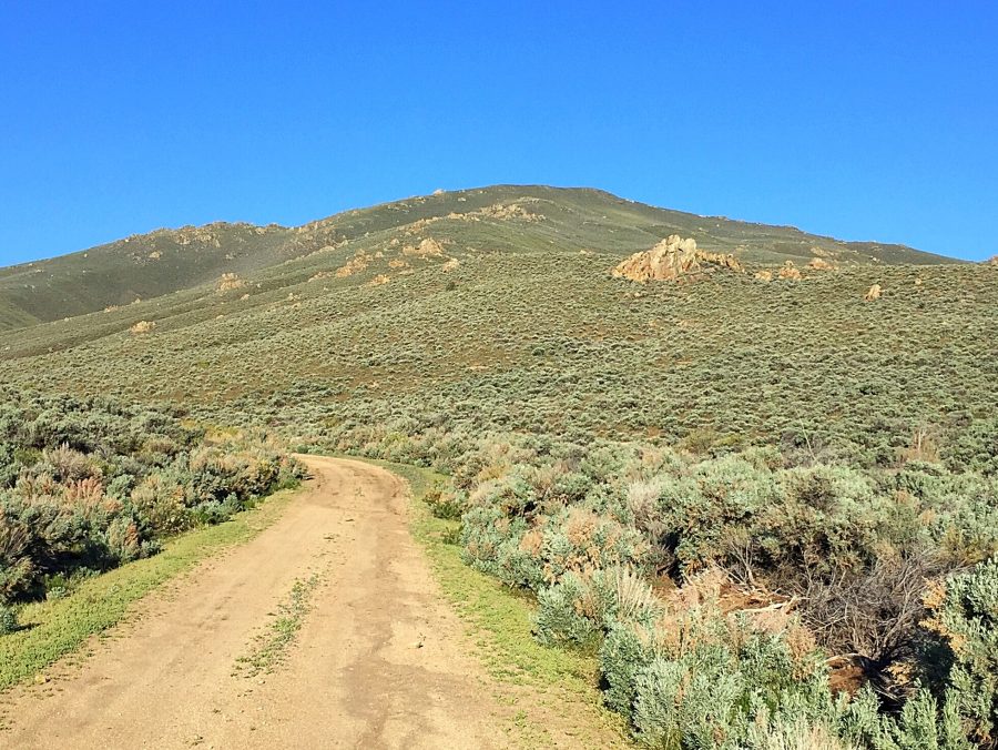
Approaching Doyle Mountain from the northeast.
Doyle Mountain is the highest summit north of Rough Mountain. It sits in a commanding position between Castle Creek and Birch Creek. The peak is studded with granite outcroppings and is treeless. Access to the peak is surprisingly good. From Murphy, Idaho, drive 19.0 miles east on ID-78. Turn south onto the Oreana Loop Road. Follow this paved road for 4.0 miles where the road makes a 90-degree turn and heads west. At this point the gravel, signed Oreana Cut-Off Road (some maps label this road “Poison Creek Road”) continues south.
Follow this road for 10.0 miles where there is a four-way junction. Turn right onto the road that runs southwest up Birch Creek. Keep right when the road turns due south following Birch Creek. You will reach a pass due south of Doyle Mountain in 7.0 miles. This section of the road is surprisingly good and has been graded at times. If you are comimg from Grandview, you can take Missile Base Road to the junction with Oreana Cut-Off Road and Birch Creek Road.
From the saddle, a 4WD road heads north for a short distance where there is plenty of room to park. The route now becomes a trail. Follow the trail until it starts to descend. Leave the trail at this point and climb up to the summit on easy slopes. Class 2.
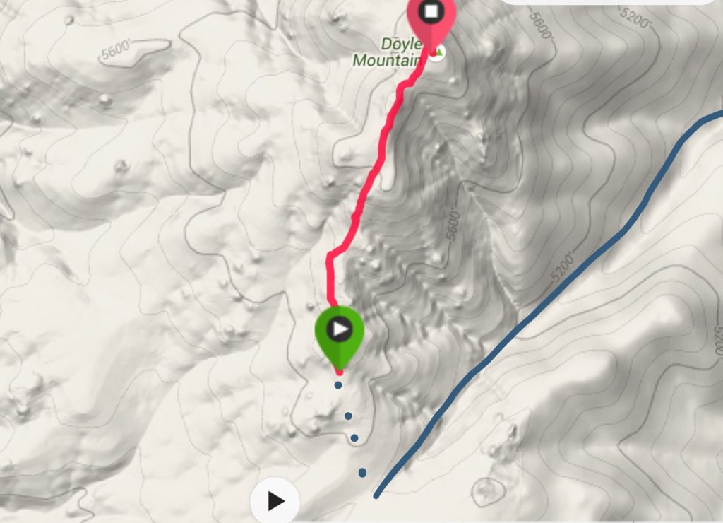
My GPS track. From the end of the 4WD road (blue dashes), it was 1.3 miles and 675 feet of elevation gain to the summit. The blue line is the access road.
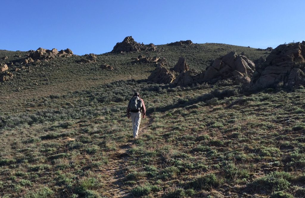
There are a number of game trails that can be followed most of the way to the summit.
Jon Freidland nearing the summit.
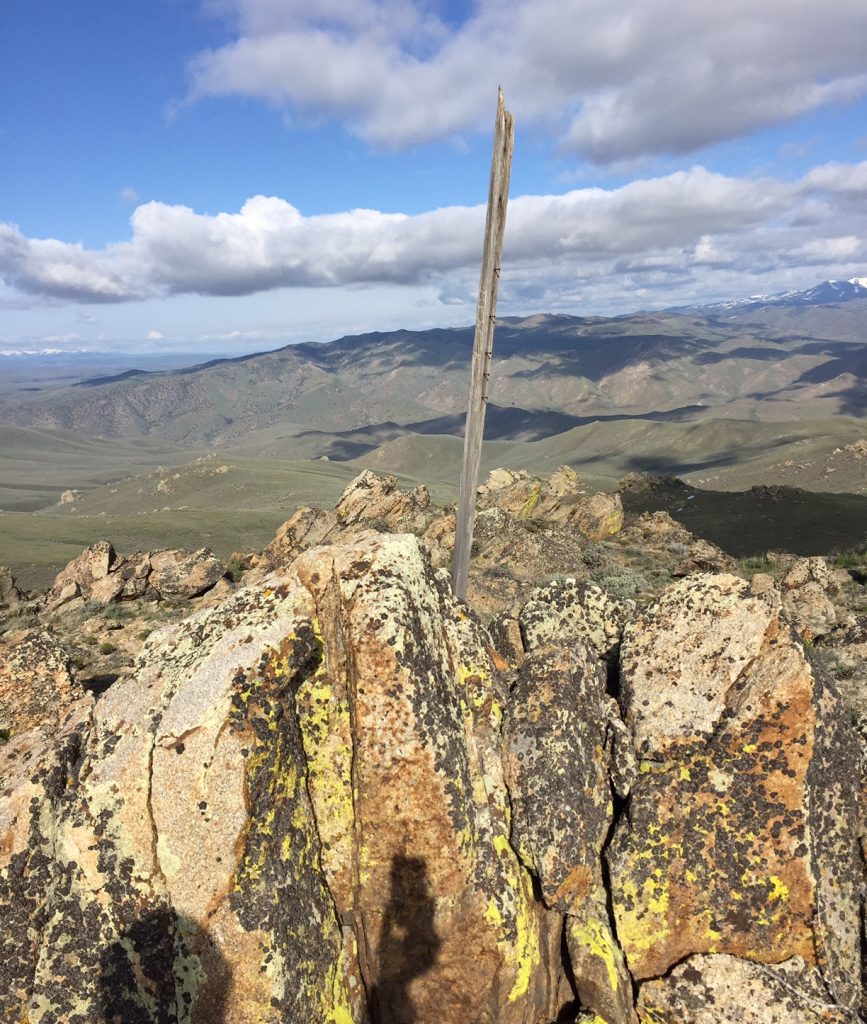
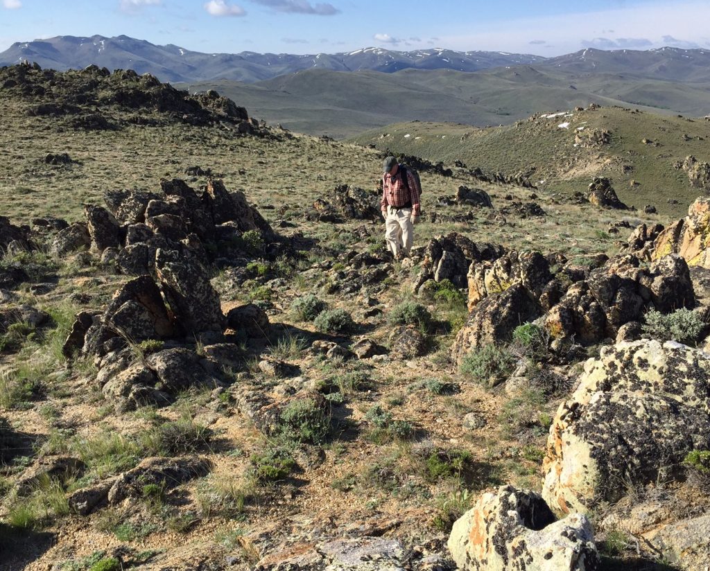
The summit of Doyle Mountain. Thanks to Jon Freidland, there is now a register on the summit.
Additional Resources
Regions: Owyhee Mountains->SOUTHERN IDAHO
Mountain Range: Owyhee Mountains
Year Climbed: 2016
Longitude: -116.38089 Latitude: 42.82779