Elevation: 10,422 ft
Prominence: 1,282
Climbing and access information for the north ridge of this peak is on Page 327 of the book. Livingston Douglas added the two new routes set out below. Updated November 2020
Heart Mountain is a Beaverhead peak that you do not hear climbers discussing because it’s tucked away in a seldom-visited section of the range and is overshadowed by nearby Scott Peak. Larry Prescott climbed it on December 22, 2014. Larry climbed the southwest ridge from the Crooked Creek trailhead. His winter ascent is the first one reported. See his trip report for the details. USGS Heart Mountain
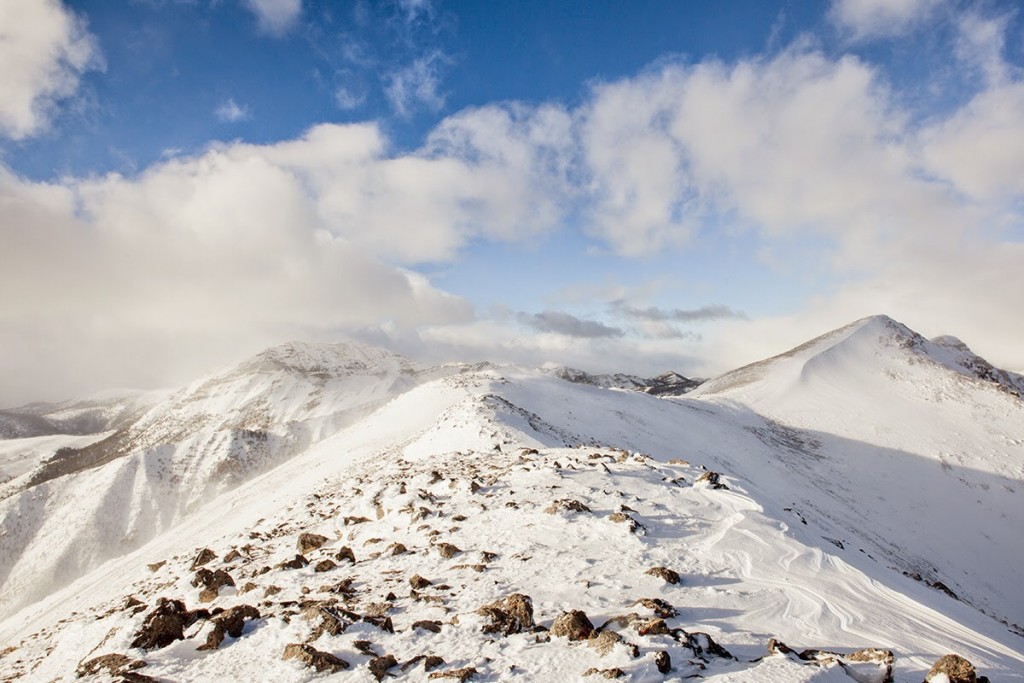
The summit of Heart Mountain (right) as viewed from the summit ridge. Larry Prescott Photo
South Spur/East Ridge and South Ridge/Southeast Shoulder Routes by Livingston Douglas
Heart Mountain is a behemoth in the South Beaverheads. It’s one of the few peaks in this area that offers rock scrambling rather than scrub bashing. The mountain can be climbed from the north, the southwest, or the south/southeast.
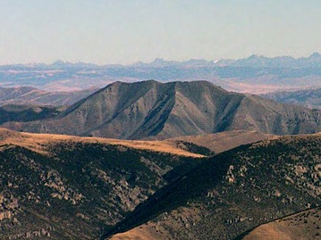
Heart Mountain (dead center) as viewed from Heart Canyon. The true summit is hidden behind the south summit, which is the high point in this photo. Livingston Douglas Photo
Access
From ID-22, drive up Crooked Creek Road/FSR-178 for 14.6 miles to its signed junction with Heart Canyon Road/FSR-873. FSR-873 is a primitive, 2-track jeep road that is overgrown and is probably not driven anymore. Park in a pullout at the road junction (6,640 feet).
South Spur/East Ridge, Class 3
The Climb
Hike about 1.5 miles up Heart Canyon on FSR-873 to the toe of the south spur of the east ridge. The spur is obvious and heads due north from the right/east side of the canyon. There is a narrow gully on its right/east side. Leave the road here (7,380 feet) and scramble north up this magnificent ridge to Point 9138. Early on, game trails will help you get through the sagebrush. The sagebrush is easier higher up but it gives way to loose scree. The shoulder becomes very steep in the final 100-200 vertical feet below Point 9138. You must either crawl up it on all fours or move laterally to find any veg or living/dead trees to grab a hold of. This section is difficult and is definitely Class 3.
The south spur bends left-ish/northwest at Point 9138. The ridge is very narrow here and is a mix of blocky towers and short pines (Class 3). Stay on the ridge crest to keep the Class 3 work to a minimum. Climb over the rocky blocks/towers because the alternative of skirting them on steep, angled, loose scree is not a good option. The rocky section soon ends and the south spur becomes a ridge scramble up scree and minor rocky ridge outcrops to reach the juncture of the south spur and the east ridge at Point 9906.
Head left/west on the east ridge and deal with some minor ups and downs. The rock on the east ridge presents no problems. In about ½ mile, reach the juncture of the east ridge and the south ridge at the south summit (Point 10360+). The south summit has a decent cairn atop it. Turn right/northwest here to follow the south ridge northwest then north to the summit of Heart Mountain. In this final push to the top, there are a few ups and downs to navigate. The summit has a decent cairn, two USGS benchmarks, and triangulation posts/wiring. The east face is steep and rugged and may give you a few heart palpitations (pun intended).
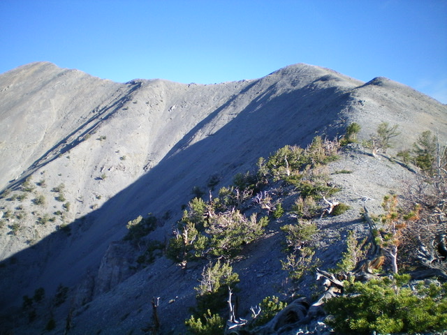
Looking up the east ridge (left of center) from Point 9906. The photo shows the south summit (left) and the true summit (right). The south ridge is the skyline connecting the two summits. Livingston Douglas Photo
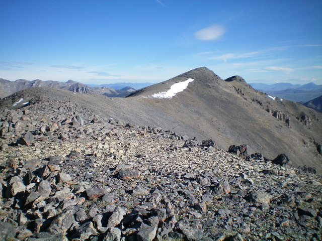
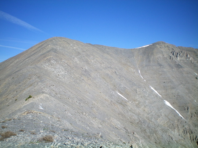
Looking up the south ridge from the south summit. The true summit is right of center. The north summit (Point 10419) is the rocky hump behind it. Livingston Douglas Photo
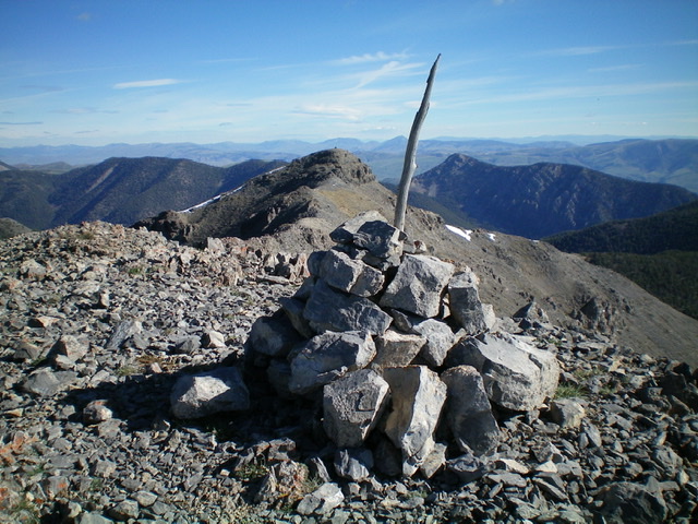
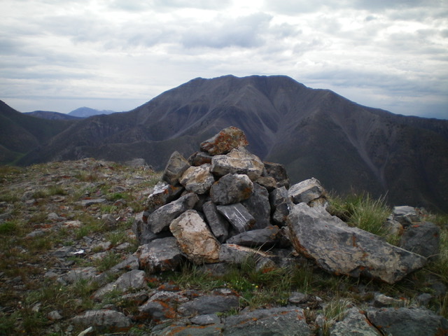
The summit cairn atop Heart Mountain, looking north. The [lower] north summit (Point 10419) is in mid-ground. Livingston Douglas Photo
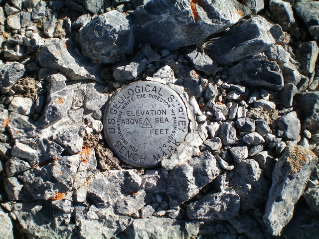
The USGS benchmark atop Heart Mountain. Livingston Douglas Photo
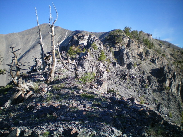
The narrow, rocky Class 3 ridge section of the south spur is dead ahead. Livingston Douglas Photo
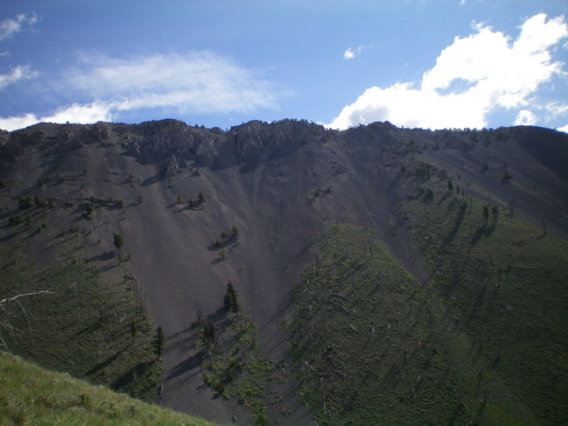
The choppy Class 3 section of the south spur as viewed from Heart Canyon. Livingston Douglas Photo
Just past the Class 3 rocky crux, the ridge scramble to the east ridge is easy. The ridge corner (Point 9906) is the gentle hump right of center. The east ridge is the skyline running left to reach the south summit of Heart Mountain. Livingston Douglas Photo
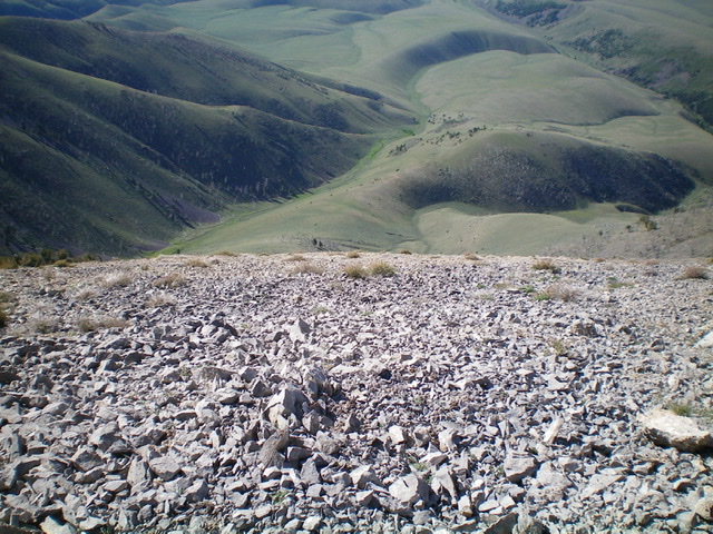
Looking down into Heart Canyon (dead center) from the south ridge at the top of the southeast shoulder. Livingston Douglas Photo
South Ridge/Southeast Shoulder, Class 2
The Descent
From the summit, descend the south ridge over the south summit and down a section of loose scree (not fun) to reach a rocky outcrop that sits at the head of the southeast shoulder at 9,920 feet. Leave the south ridge here and descend southeast in open terrain initially. This shoulder is treacherously loose high up (scree/talus) and remains so even through the forested area that precedes the easier sagebrush of the lower section of the shoulder. Remain on the shoulder as it bends right-ish (south-southeast then south) to reach a saddle at 7,780 feet. Leave the shoulder here and descend left/east straight down a sagebrush gully to reach Heart Canyon Road in the center of the canyon. Follow the overgrown 2-track jeep road for just over 1.5 miles back to its junction with Crooked Creek Road and your parked vehicle.
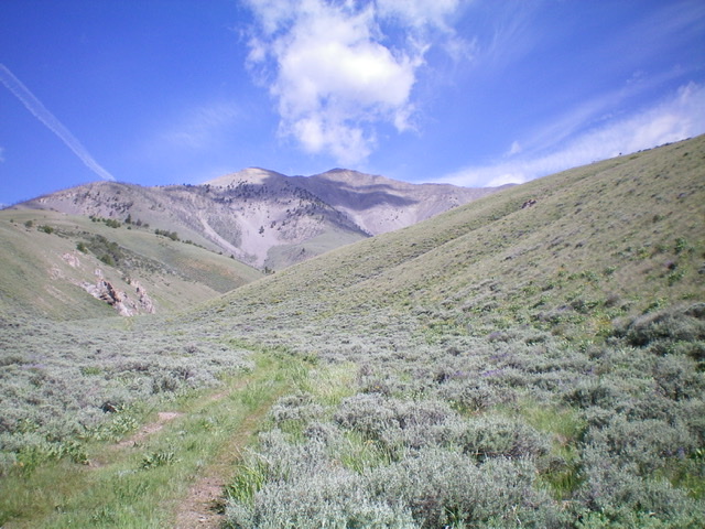
Heart Mountain and its west face as viewed from the summit of Peak 9281. Livingston Douglas Photo
Additional Resources
Regions: Beaverhead Range->EASTERN IDAHO
Mountain Range: Beaverhead Range
First Ascent Information:
- Other First Ascent: Winter—Southwest Ridge
- Year: 2014
- Season: Winter
- Party: Larry Prescott
- Other First Ascent: South Spur/East Ridge
- Year: 2020
- Season: Summer
- Party: Livingston Douglas
Longitude: -112.75001 Latitude: 44.81989