Elevation: 8,312 ft
Prominence: 692
This peak is not in the book. Margo Mandella authored the first entry for this peak. Subsequently, Livingston Douglas added another version. Both are included below. Updated January 2023
Henderson Peak by Margo Mandella
Henderson Peak is located approximately 4 miles southeast of Garns Mountain in the Big Hole Mountains. The summit provides great views of various Big Hole peaks, the City of Victor and the Teton Mountains. The Big Hole Mountains, and especially trails that are readily accessible from Victor, are very popular and parking might be limited at trailheads. USGS Garns Mountain
Patterson Creek Approach
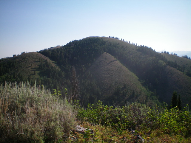
View along Patterson Ridge from near the summit of Henderson Peak on a rainy Fall afternoon. Steve Mandella Photo
From Victor, access FST-237 via West 6750 Street. Take FST-237 to the point at which it narrows and the FST-237 sign is posted. Immediately to the left, there is a small area where a few vehicles can be parked.
Continue northwesterly on FST-237. This trail turns into FST-218 and parallels Patterson Creek for most of the way. Continue toward a saddle where FST-218 intersects FST-235 on Mahogany Ridge. Head northeast on FST-235. This trail proceeds in the direction of the summit but does not go to the summit, so off-trail hiking is needed. From the summit, there is an unmarked, unmapped, but clearly used trail that follows Patterson Ridge, and parallels FST-218, that makes a nice loop hike.
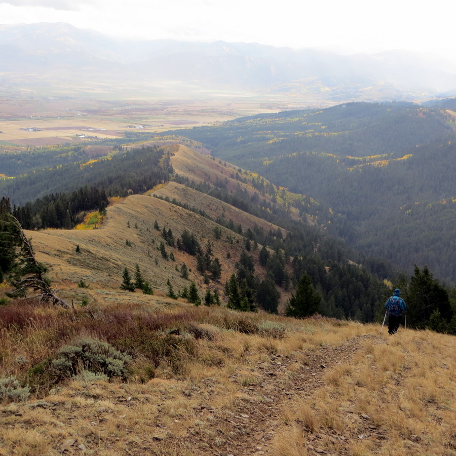
Dry Fork/Horse Heaven Approach
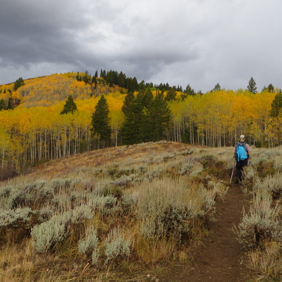
Fall colors on Henderson Peak. Steve Mandella Photo
A longer hike to Henderson Peak’s summit, this approach also goes through Horse Heaven and passes next to unranked Peak 8209.
From Victor, access FST-544 via West 5750 Street and Henderson Canyon Road. FST-544 turns into FST-235 and follows Mahogany Ridge, approaching Henderson Peak’s summit from the northeast.

The Patterson Creek/Patterson Ridge loop route to the summit of Henderson Peak. Steve Mandella GPS track
Henderson Peak by Livingston Douglas
Henderson Peak as viewed from Mahogany Ridge West to its southwest. Livingston Douglas Photo
Henderson Peak is the high point on Mahogany Ridge in the Big Hole Mountains. It is located at the top of Patterson Ridge and towers over the Patterson Creek drainage. This is the third leg of a 4-peak trek that includes Mahogany Ridge West (7,990 feet), Horse Heaven (8,260 feet), Henderson Peak, and Patterson Ridge (7,621 feet). It covers 9.5 miles with 2,750 feet of elevation gain round trip. USGS Garns Mountain
Access
Same as for Mahogany Ridge West. This is the third leg of a 4-peak journey.
North Ridge, Class 1
The Climb
From the 8,100-foot connecting saddle with Horse Heaven, hike south up an old 2-track road on the ridge crest to reach the summit of Henderson Peak. The summit has a large cairn and magnificent views of the surrounding area.
Southeast Ridge, Class 2
The Descent
From the summit, follow the ridge crest south (briefly) then southeast down Patterson Ridge. The terrain is short scrub and loose gravel and, in some areas, is a bit steep. You will soon find an unofficial foot trail (probably used by MCers) that leads down the ridge to a minor saddle below the summit hump that is the official summit of Patterson Ridge. This minor saddle is the connecting saddle between Henderson Peak and Patterson Ridge and concludes the third leg of today’s 4-peak adventure. Patterson Ridge is up next. Please note that the entire southeast ridge of Henderson Peak is labeled “Patterson Ridge” on all maps. In my opinion, Henderson Peak is also the high point of Patterson Ridge.
Henderson Peak as viewed from the summit of Horse Heaven. Livingston Douglas Photo
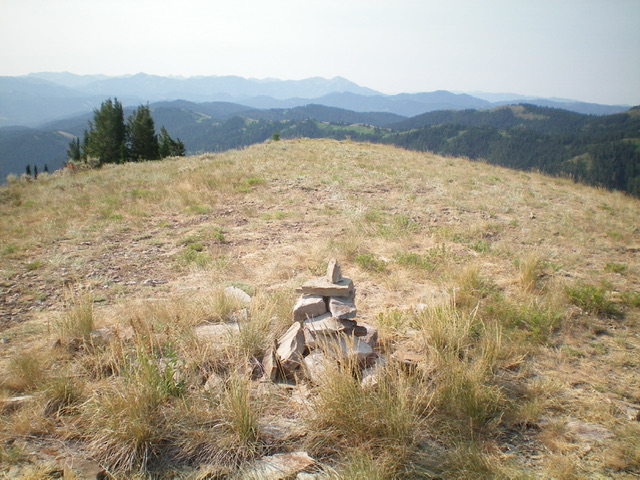
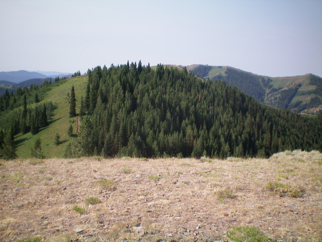
The summit area of Henderson Peak. Livingston Douglas Photo
Additional Resources
Mountain Range: Big Hole and Snake River Mountains
Longitude: -111.25501 Latitude: 43.65359