Elevation: 7,298 ft
Prominence: 598
This peak is not in the book. Updated November 2019
There are 27 points of prominence in Idaho that use the word “Indian” as part of their name and only one of them is included in the book. This demonstrates just how many mountain peaks there are in Idaho and how few of them are known to climbers and hikers. Indian Mountain is a popular early season hike in the Pocatello area. USGS Scout Mountain
Southwest Shoulder, Class 2
Access
From the junction of Bannock Highway and Portneuf Road, drive south on Bannock Highway for 4.5 miles to a signed junction with East Fork Mink Creek Road. Turn left/east onto East Fork Mink Creek Road and drive 0.6 mile to a left turn for the [signed] Lead Draw trailhead. Park here in the large parking lot (5,170 feet).
The Climb
From the Lead Draw trailhead, hike up the trail for about a mile to a sharp right/south turn in the trail where there is a large, wide gully on the left/north side of the trail. The trail is about to curl around the base of the southwest shoulder of Indian Mountain. Follow the road to the base of the shoulder and find an unofficial MC trail heading up the shoulder. This is quite a good trail and is much easier than bashing up through the never-ending sagebrush. This trail is not shown on maps.
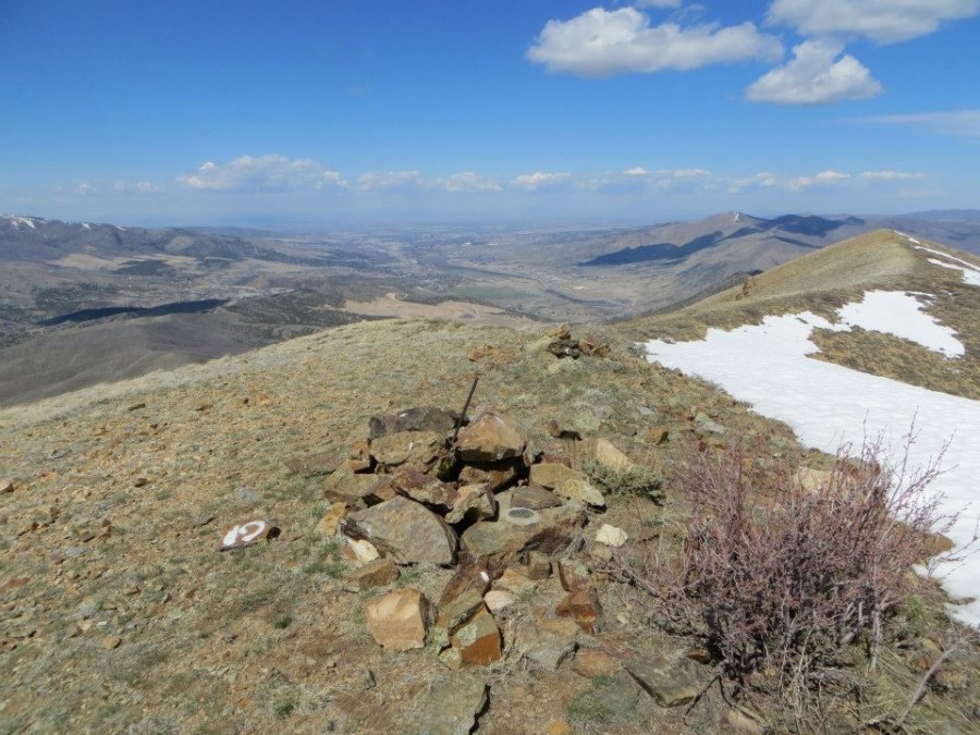
The wonderful MC trail flames out and morphs into a weak footpath higher up. Follow this path to the west summit of Indian Mountain (7,298 feet). The summit has a large cairn with a piece of rebar stuck in it. Yes, Indian Mountain has an east summit (7,280+ feet). Is it higher than the west summit? Well, I had to check it out. I did a scrub scramble east to a minor saddle then up to the rocky east summit of Indian Mountain. The east summit has a large cairn atop it. My altimeter measurements confirm that the [measured] west summit IS the high point. The east summit is a full 25 feet LOWER in height. Visually, you would not guess it. The two summits appear to be closer than that.
West Ridge, Class 2+
Access
Same as for the southwest shoulder
The Descent
This descent route is part of a loop route that returns to the Lead Draw trailhead upon its conclusion. From the west summit of Indian Mountain, follow the crest of the meandering, up-and-down, west ridge westward then northwest then west over several ridge points (including Points 6396, 6205, and 5932) to reach a final, brushy hillside drop to Bannock Highway. Walk south along the highway for just over ½ mile. Finish this adventure with a walk east up the East Fork Mink Creek Road to the Lead Draw trailhead.
The terrain on the west ridge is easy short scrub, except for the final 250-foot drop to the highway. There is even a faint footpath at times to help you out. But be careful to stay on the ridge proper. There are numerous shoulders trying to lure you away from the elusive ridge. Don’t err by drifting northward or you’ll end up on private land. When you reach 5,300 feet, go left/southwest on a flat section of ridge. You must cross a stiff cattle fence here. May God have blessed you with extra-long legs. From the southwest end of this minor shoulder, descend directly west down to the highway through thick brush/sage with a loose gravel/scree base. The prickly brush near the highway is particularly painful if you happen to be wearing hiking shorts.
Photo Essay of the Route by Steve Mandella
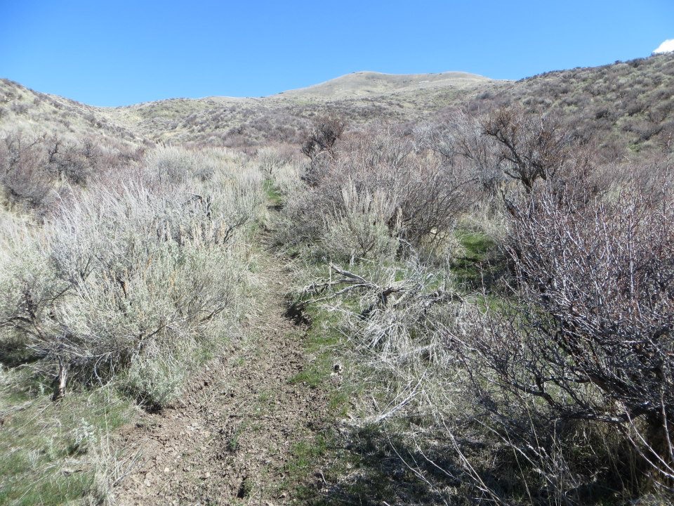
The summit of Indian Mountain becomes visible in the distance. Steve Mandella Photo
The summit of Indian Mountain. Steve Mandella Photo
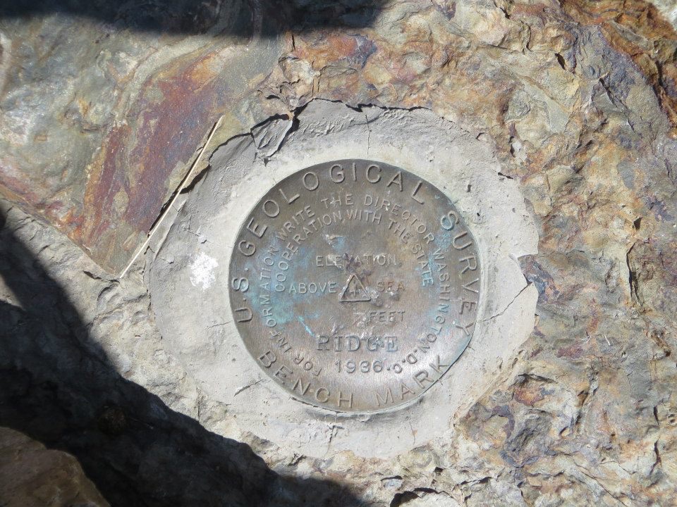
The USGS benchmark atop Indian Mountain. Steve Mandella Photo

Looking south toward Scout Mountain. Steve Mandella Photo
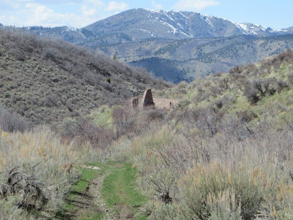
A ruin you will pass along the way. Steve Mandella Photo
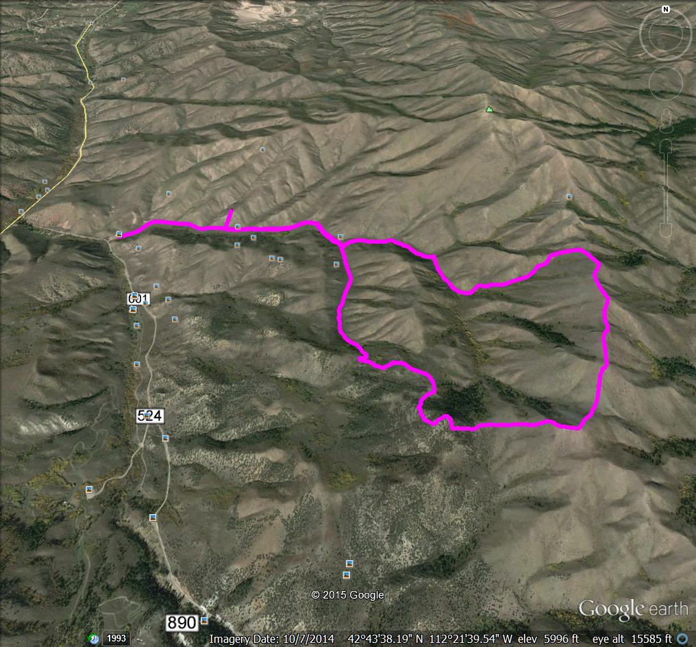
Margo Mandella’s GPS track of her 2010 ascent of Indian Mountain.
Additional Resources
Regions: Bannock Range->SOUTHERN IDAHO
Mountain Range: Bannock Range