Elevation: 3,240 ft
Prominence: 365
This peak is not in the book. Livingston Douglas added an additional photo to the initial entry (no pun intended). Updated November 2022
Initial Point is a small volcanic remnant that rises roughly 350 feet out of the Snake River Plain, 8 miles south of Kuna, Idaho. The butte is famous because it was the starting point for the first government survey of Idaho. Hence the name “Initial Point.” The first survey was under the direction of Lafeyette Cartee. USGS Initial Point
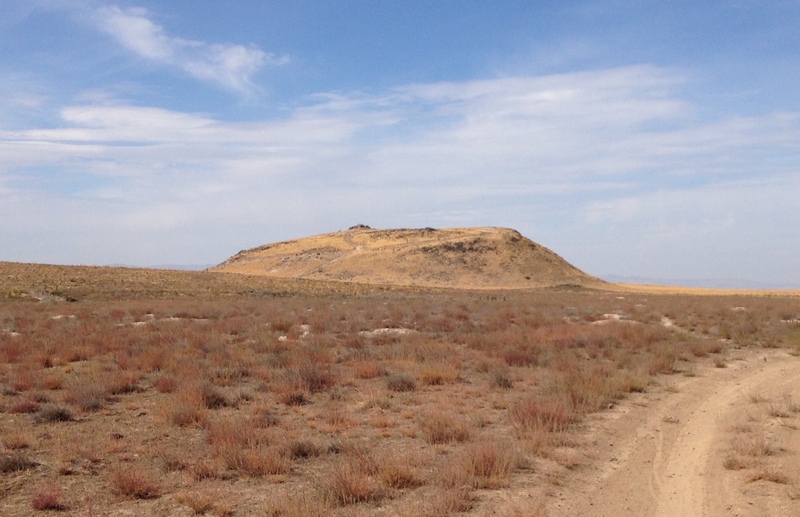
The East Side of Initial Point. The 4WD road climbs up this side of the butte, starting in the lower left quadrant of the butte.
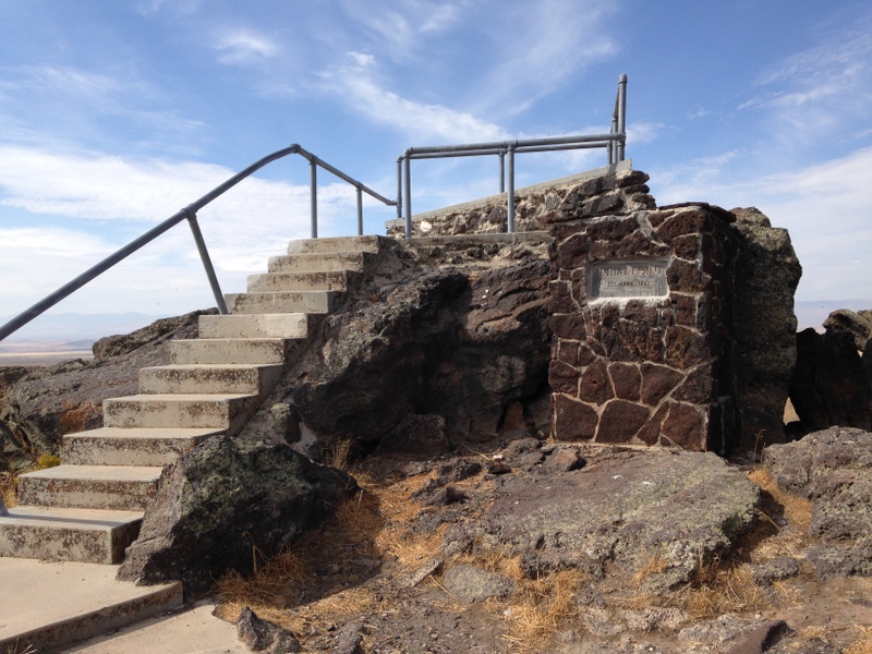
The viewing platform on the summit.
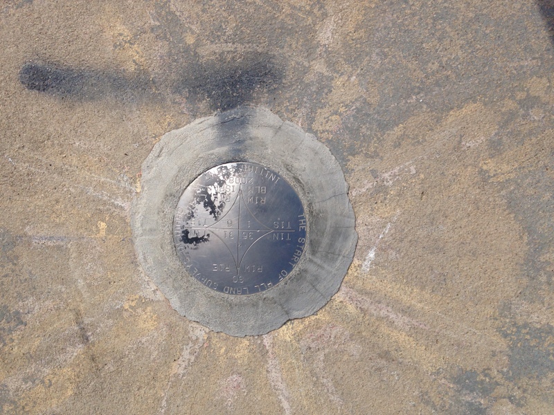
Ground Zero for all Idaho surveys.
While this volcanic butte is not very impressive today, geologists believe that 1.3 million years ago, lava pouring from it was sufficient to dam up the Snake River and change its course.
Follow Swan Falls Road south from Kuna for roughly 7.8 miles until you see the BLM sign pointing you to the very obvious butte. A gravel then 4WD road leads to its summit, where you will find an observation deck and a survey marker. To make the ascent a little more sporting, I turned off the Swan Falls Road, parked and rode my mountain bike to the top in 1.25 miles.
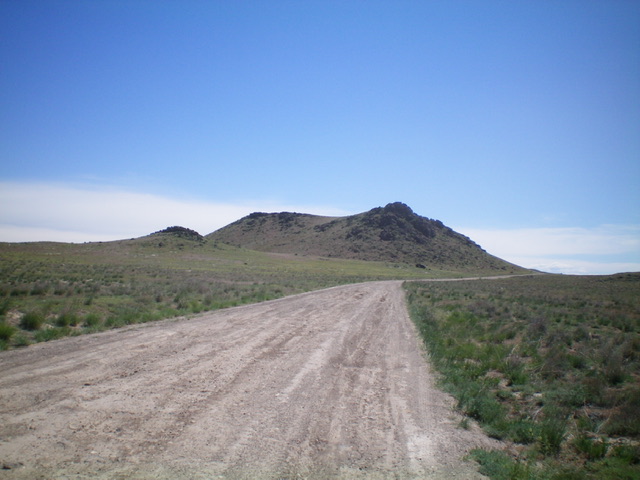
Initial Point as viewed from the west. Livingston Douglas Photo
Additional Resources