Elevation: 4,945 ft
Prominence: 400
This peak is not in the book. Livingston Douglas provided the additional access and route information. Updated November 2021
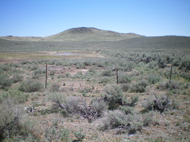
Kinzie Butte is located on the Snake River Plain north of Shoshone, Idaho. I climbed to its summit one winter from US-93 by crossing sagebrush-covered BLM land. If you hike it early in the year, you may find a pond in the summit crater. USGS Kinzie Butte
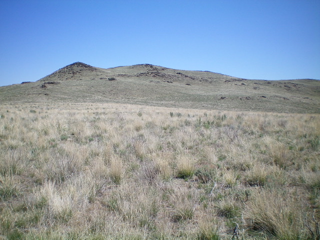
Looking up the west ridge/face (ascent route) of Kinzie Butte. The summit is just left of center. It is NOT the larger hump at far left. Livingston Douglas Photo
Access
From the junction of US-93 and ID-75 in Shoshone, drive north on ID-75 for 12.8 miles to a signed junction with Old Burmah Road. Turn right/east onto Old Burmah Road (a wide, smooth gravel road) and drive 0.7 miles to a signed “T” junction with Old Highway 93. Turn right/south onto Old Highway 93 and drive 1.0 mile to an unsigned junction with a weak 2-track road to the left/southeast. Park at this junction (4,555 feet).
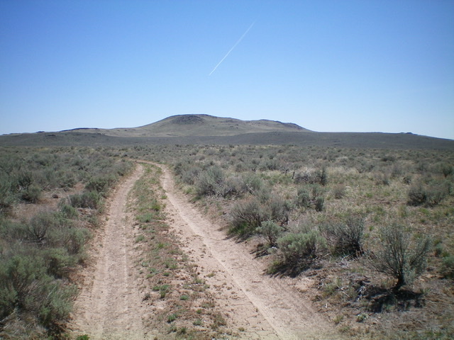
Kinzie Butte as viewed from the road junction at old Highway 93 (start of hike). Livingston Douglas Photo
West Ridge, Class 2
The Climb
From the unsigned junction, hike southeast up the weak 2-track road to quickly reach another unsigned road junction (4,572 feet on the USGS map). Continue southeast, crossing a north-south road here, until the weak 2-track road reaches a small pond (shown as Kinzie Butte Reservoir on the USGS map). The main road heads right-ish/south here and soon reaches an unsigned junction. Continue straight/south on the weak 2-track road until it crosses the crest of the west ridge of Kinzie Butte. Leave the road here and scramble east up the ridge then face to the summit on easy grass and then some lava boulders/talus high up. The summit offers a nice view of the crater to its south.
Kinzie Butte with Kinzie Butte Reservoir (a small pond) in mid-ground as viewed from the 2-track road to its northwest. Livingston Douglas Photo
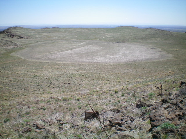
The large crater just east of the summit. Livingston Douglas Photo

The summit rocks atop Kinzie Butte. Livingston Douglas Photo
North Face/North Gully, Class 2+
The Descent
From the summit, descend north down Class 2+ lava boulders/talus then steep grass to reach an old 2-track. This road is not shown on maps. Follow this old 2-track northwest then west back to its unsigned junction with the 2-track road of the ascent route. This junction is located just before reaching the small pond (Kinzie Butte Reservoir). Go right/north onto the main 2-track road (of the ascent route) and quickly reach the pond then continue northwest back to the junction along Old Highway 93 and your parked vehicle.
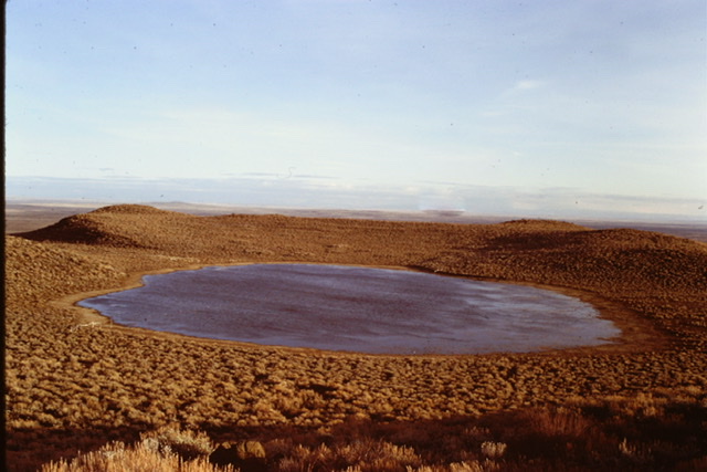
The crater on top of Kinzie Butte in March 1979.
Additional Resources
Regions: SNAKE RIVER PLAIN
Mountain Range: Snake River Plain
Year Climbed: 1979
Longitude: -114.3335 Latitude: 43.0933