Elevation: 3,236 ft
Prominence: 371
This peak is not in the book. Livingston Douglas added a photo to the initial entry. Updated November 2022
Kuna Butte is a large volcanic formation located just south of Kuna, Idaho on the West Side of the Swan Falls Dam Road. The views from the butte are expansive. The butte is located in an area designated as part of the Morley Nelson Snake River Birds of Prey Preserve. This area can see heavy use by dirt bikes and off road vehicles on weekends. As a result there is an extensive road system on the butte which makes for easy access to the summit area. The roads make good trails for mountain biking and hiking. USGS Kuna
Drive south from Kuna on the Swan Falls Road to access the butte. Two easy-to-spot roads lead to the summit from this road. Both roads are rough and I recommend a high-clearance vehicle if you plan to start closer than the paved road. The North Road leaves the highway just south of the Kuna water treatment settling ponds which are marked by a string of pine trees along the road. Take the first right after passing the pine trees and reaching the sagebrush. The South Road is the best of the two and less steep than the North Road. I recommend it, especially if you plan to mountain bike to the top. This road is found a couple of hundred yards south of a small BLM interpretation site.
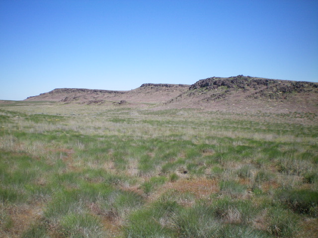
Kuna Butte (hump in dead center) as viewed from the southeast. Livingston Douglas Photo
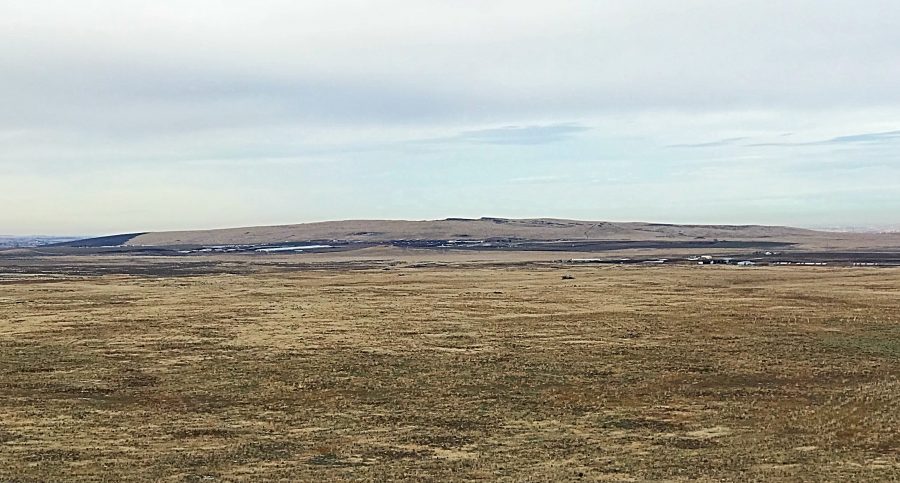
Kuna Butte as viewed from Initial Point. Kuna Butte is akin to a shield volcano with its wide base and gentle rise.
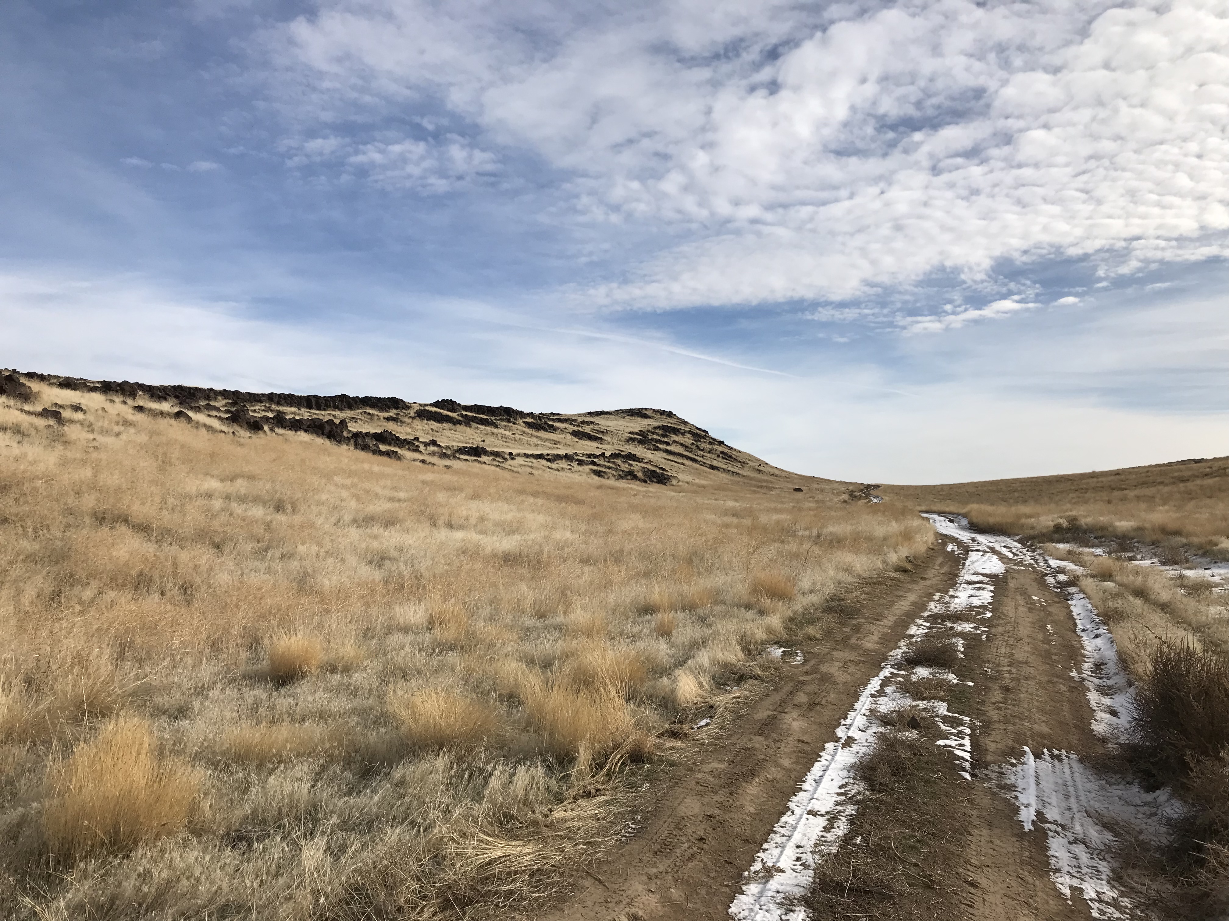
The butte is a large natural area and is a good hiking and mountain biking destination if you visit on a day without motorcycles and ATVs. Given the size of the butte and its gentle, undulating terrain, one could spend a lot of time exploring its many recesses.
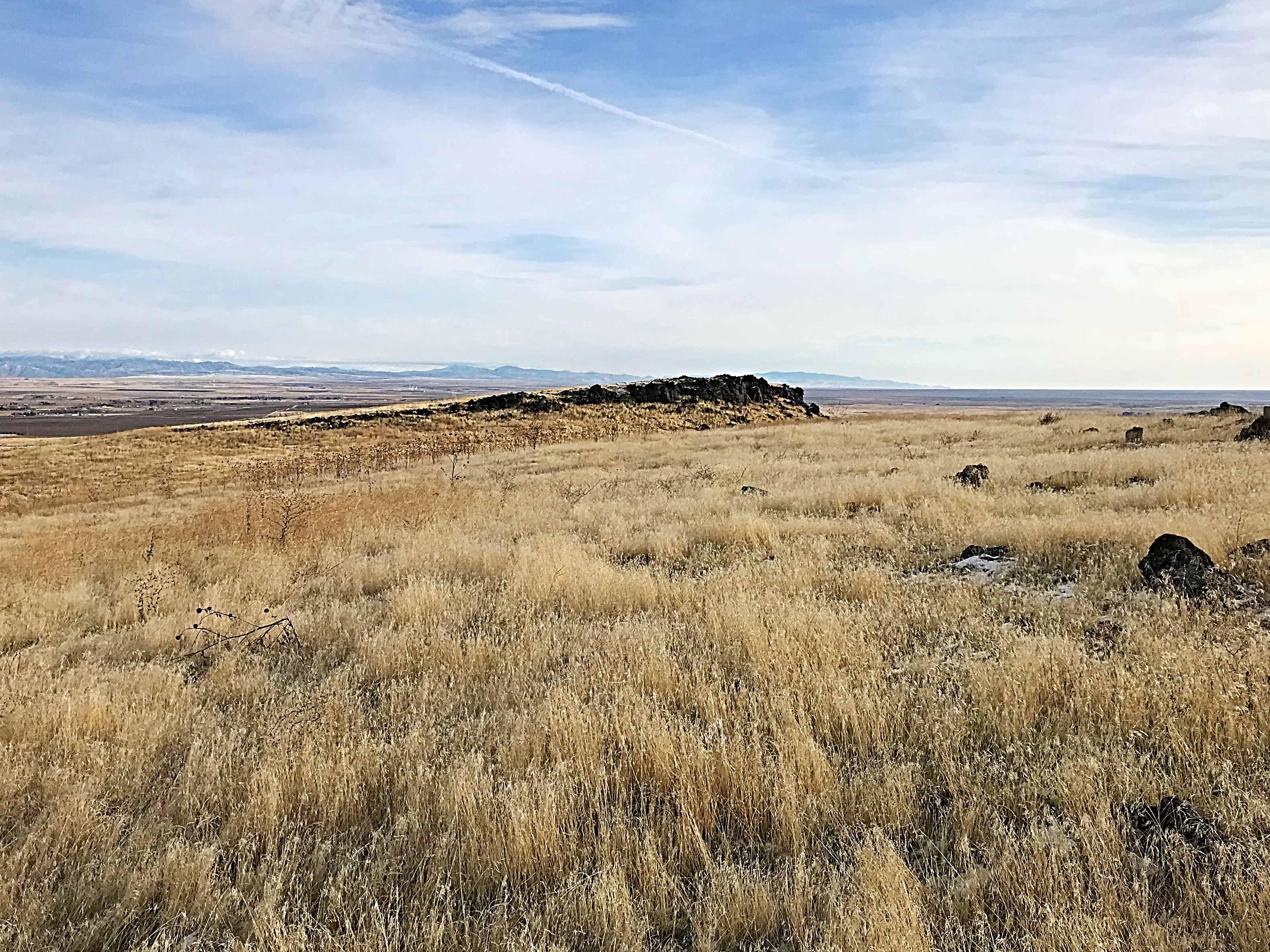
The summit of Kuna Butte as viewed from the southwest.
Kuna Butte covers a lot of area and the summit has many high points. With a bit of management, it could be an outstanding natural area.
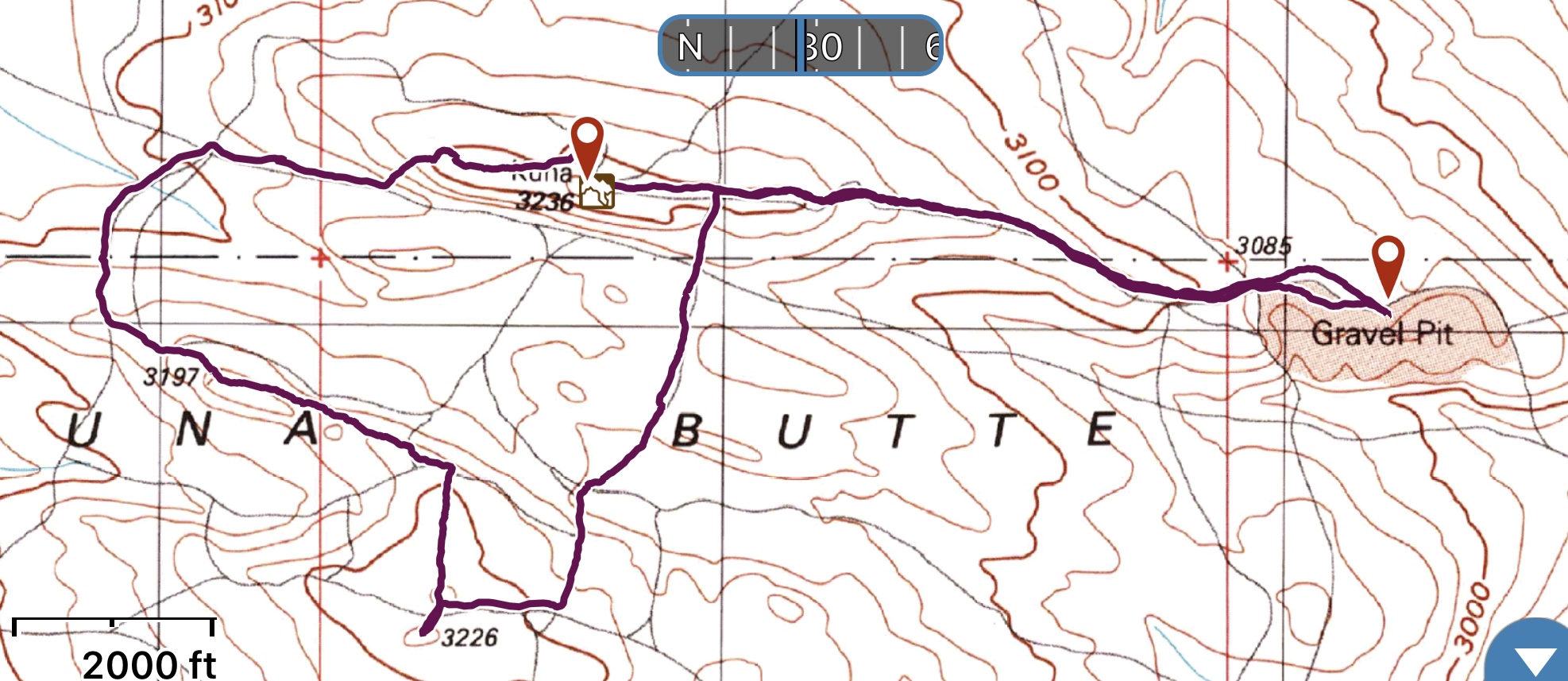
This is the GPS track of a 4.0-mile hike, which demonstrates that you can put in some decent miles hiking around the butte’s slopes.
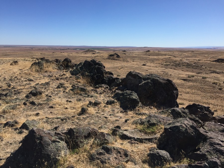
The summit of Kuna Butte is on the left.
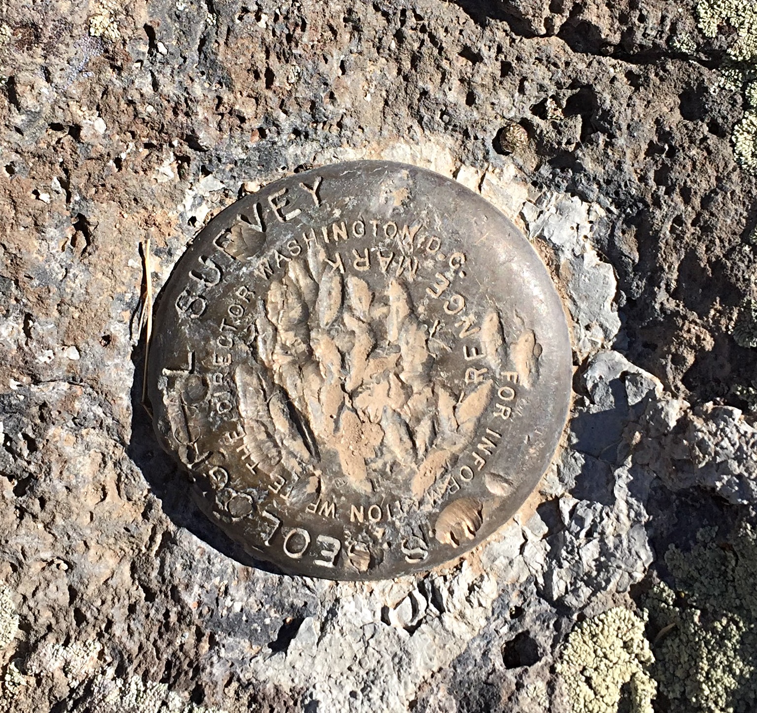
The defaced USGS benchmark on the summit.
Additional Resources
Regions: SNAKE RIVER PLAIN
Mountain Range: Snake River Plain
Year Climbed: 2015
Longitude: -116.44778 Latitude: 43.44549