Elevation: 10,740 ft
Prominence: 680
Climbing and access information for this peak is on Pages 267-268 of the book. The book lists the elevation at 10,716 feet. More recent estimates give the peak an elevation of 10,740 feet.
McGowan Peak is a rarely-climbed summit in the Pahsimeroi section of the Lost River Range. The photo essay below documents my 1991 ascent. Use the trip report links for ascents by other climbers, including a 2018 winter ascent. USGS Grouse Creek Mountain
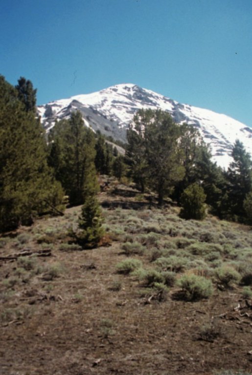
McGowan Peak as viewed from the west (June 1991).
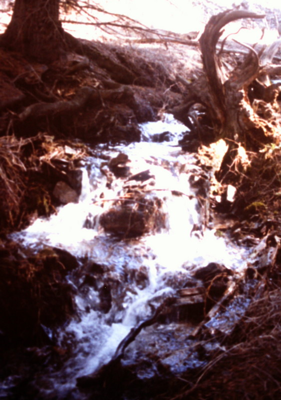
The approach up McGowan Creek encounters serious stream flows during the Spring runoff.
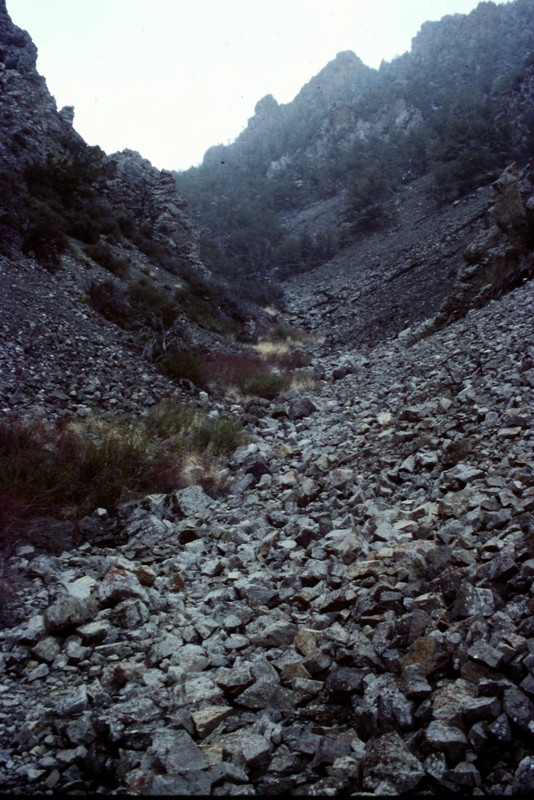
The McGowan drainage is typical of most Lost River Range drainages where water will often disappear underground. You will find good game trails in parts of the drainage and thick brush in other parts, but the walking is generally good.
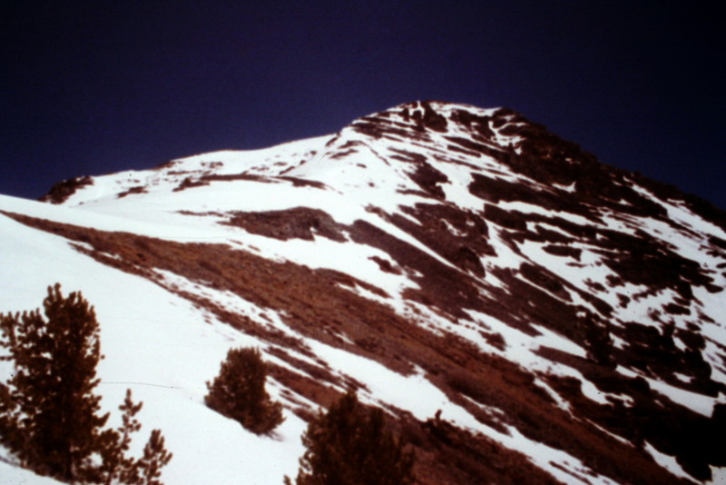
Once you climb above the forest canopy, the route opens up.
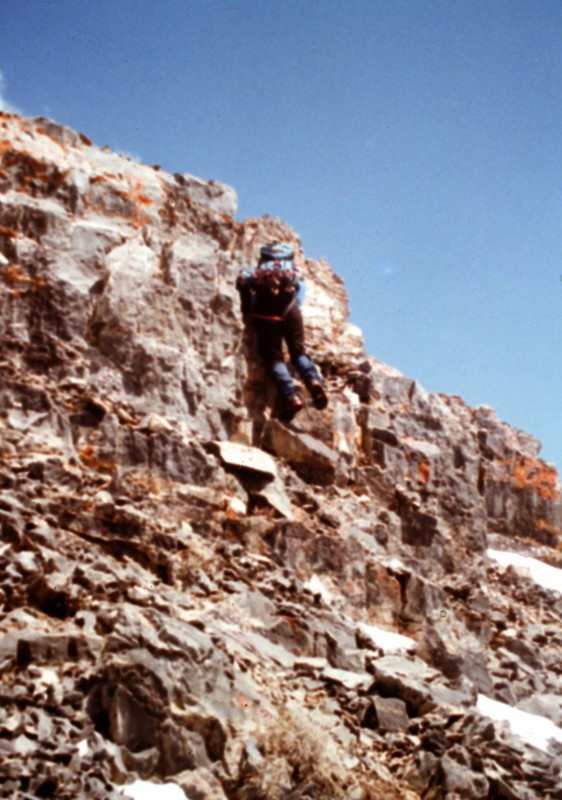
You will have a couple of easy rock steps to climb along the way.
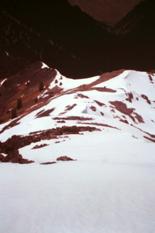
Looking back down the West Ridge.
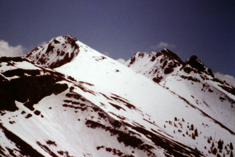
Looking south down the main crest of the Pahsimeroi section of the Lost River Range from the summit of McGowan Peak.
Additional Resources
Regions: EASTERN IDAHO->Lost River Range->Pahsimeroi Range
Mountain Range: Lost River Range
Year Climbed: 1991