Elevation: 10,420 ft
Prominence: 800
Climbing and access information for this peak is on Page 233 of the book.
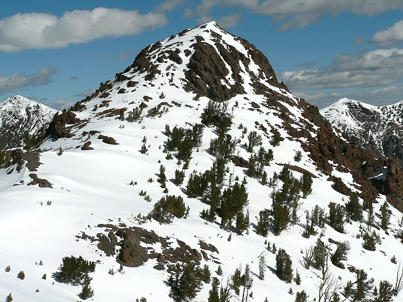
Meridian Peak is the focal point on a massive L-shaped ridge complex. The northern lobe runs north from Meridian Peak to Peak 10522. The eastern lobe that runs east to Toolbox Peak. Middle Canyon and Hunter Creek border the ridge on its western flanks. The East Fork Pass Creek flows on the northern side of the ridge and the North Fork Big Lost River on its southern flanks. Peak 10217 (Meridian East Peak) and Peak 10260 (Meridian Far East Peak) is the easternmost 10er on this ridge system.Various maps incorrectly place the peak’s name on its [lower] South Summit. The [higher] North Summit is found 0.4 miles to the north. USGS Meridian Peak
Access
Primary access to the North Fork of the Big Lost River is via Trail Creek Road [(B) on Page 242]. The road up the North Fork of the Big Lost River [(B)(2)] is a good gravel road that receives occasional maintenance for much of its distance. The headwaters of the North Fork is a vast area with an extensive road system. Some of the roads are closed or impassable, some require a 4WD and some are great.
To access Meridian Peak, stay on the road along the North Side of the river. Follow the road to the Hunter Creek Road [(B)(2)(c) on Page 242]. The route in the book has you drive Hunter Creek Road to its end. Please be advised: The beginning of Hunter Creek Road was seriously damaged and impassable as of July 2017. Now you must walk the road to reach the peak’s Southwest Ridge.
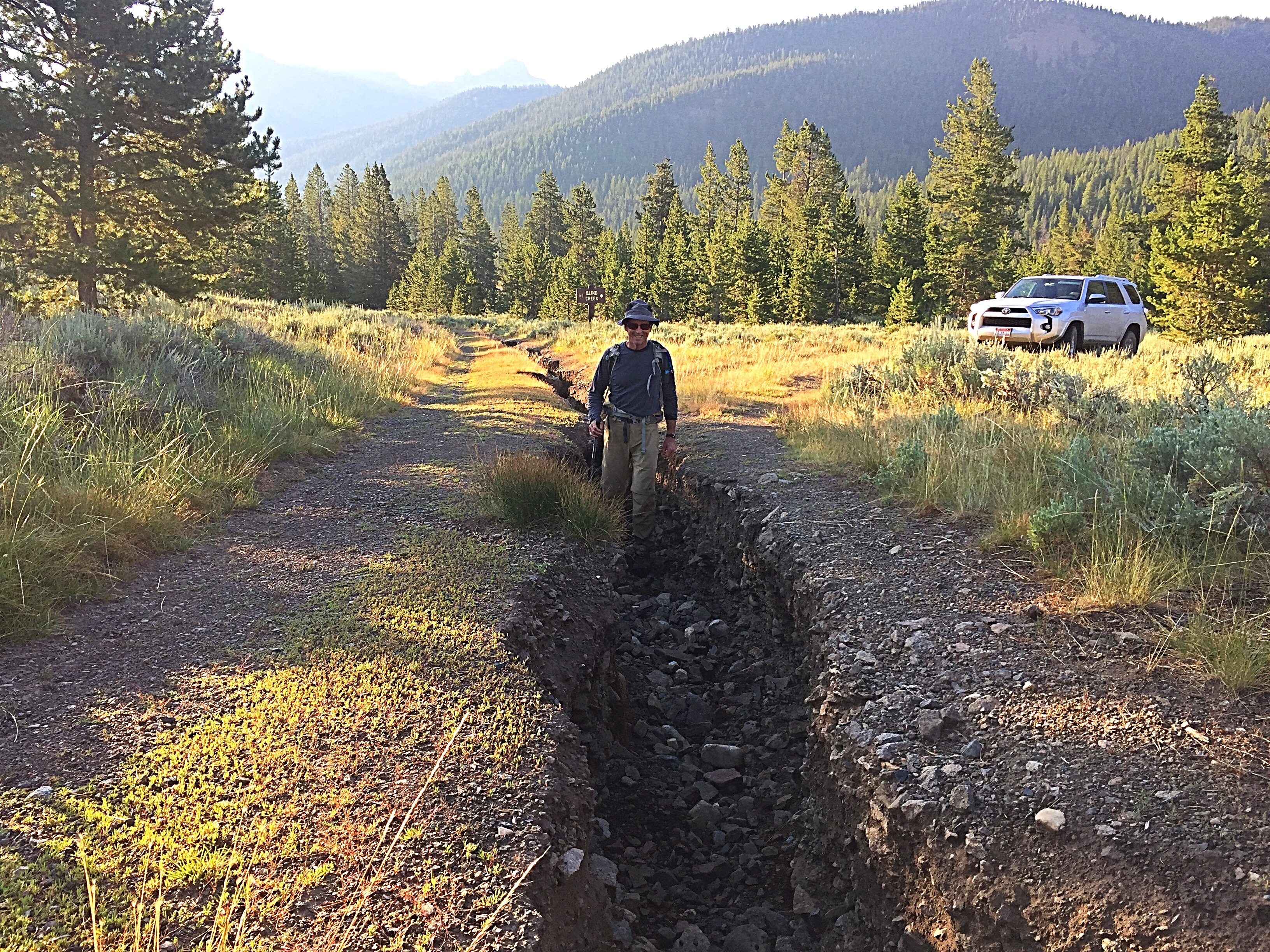
Hunter Creek Road was deeply eroded in July 2017.
Alternative Southwest Ridge Route, Class 2
With a significant section of the road washed out, Pat McGrane and I chose to ascend the South Flank of the Southwest Ridge rather than walk the road to the base of the Southwest Ridge. This decision adds roughly 400 feet of elevation gain, but proves to be a good route. The South Flank of the ridge is steep, but the footing is good and the brush is minimal. We gained 1,200 vertical feet from our starting point to the ridge top at 9,000 feet.
Once on the ridge crest, the biggest obstacles are downed trees and one scree slope, which has a nice goat trail on its North Side. The ridge takes you to a false summit. Look for old survey remnants here. Cross the false summit and follow the ridge north to the true summit. Our round-trip stats: 5.4 miles with 2,600 feet of elevation gain.
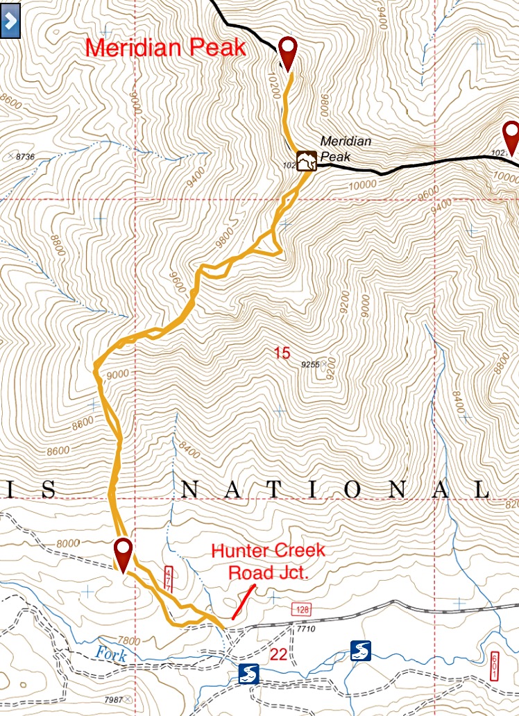
My GPS track to the summit of Meridian Peak and back.
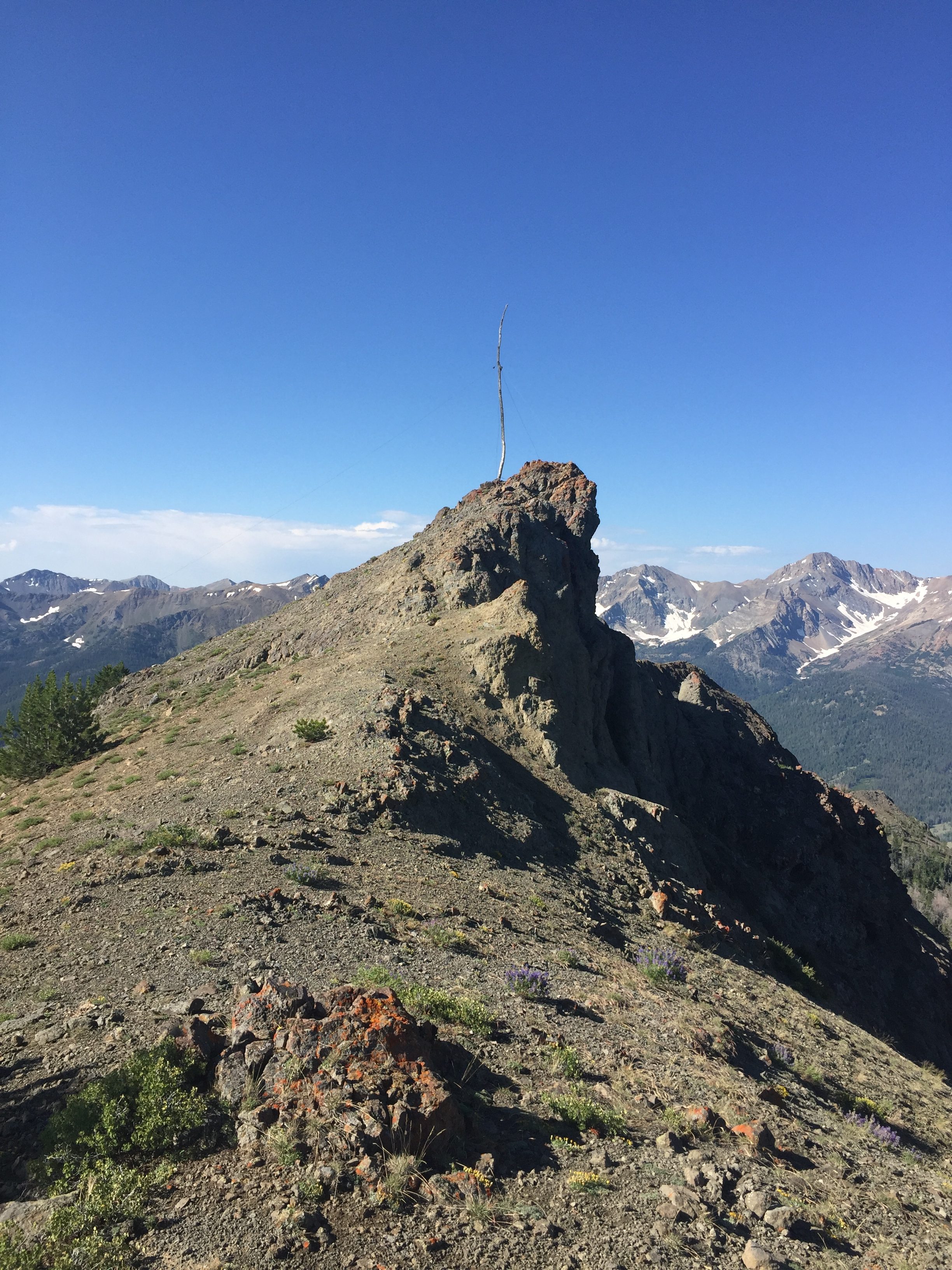
The South Summit of Meridian Peak.
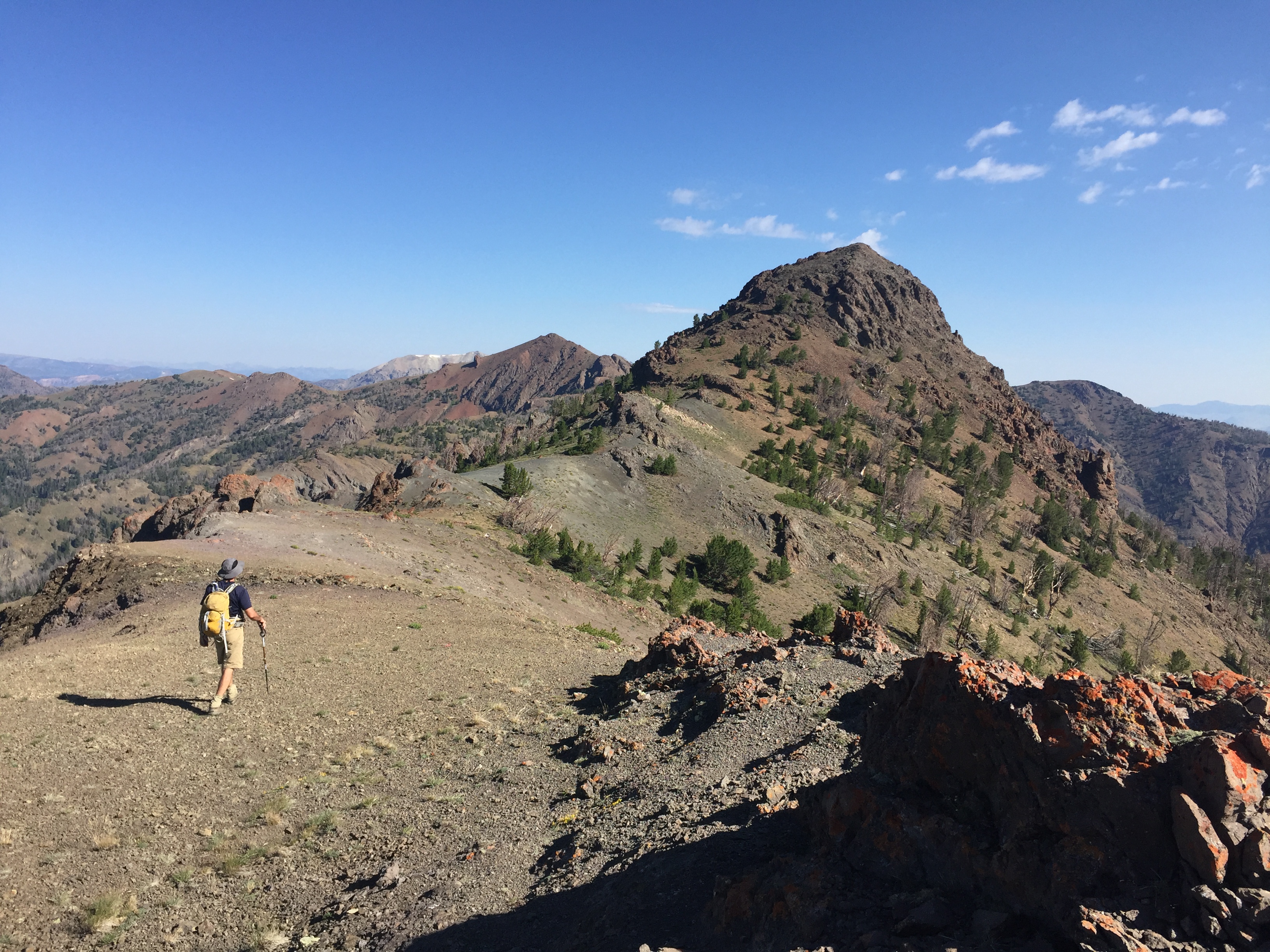
Crossing the summit ridge to the North Summit.
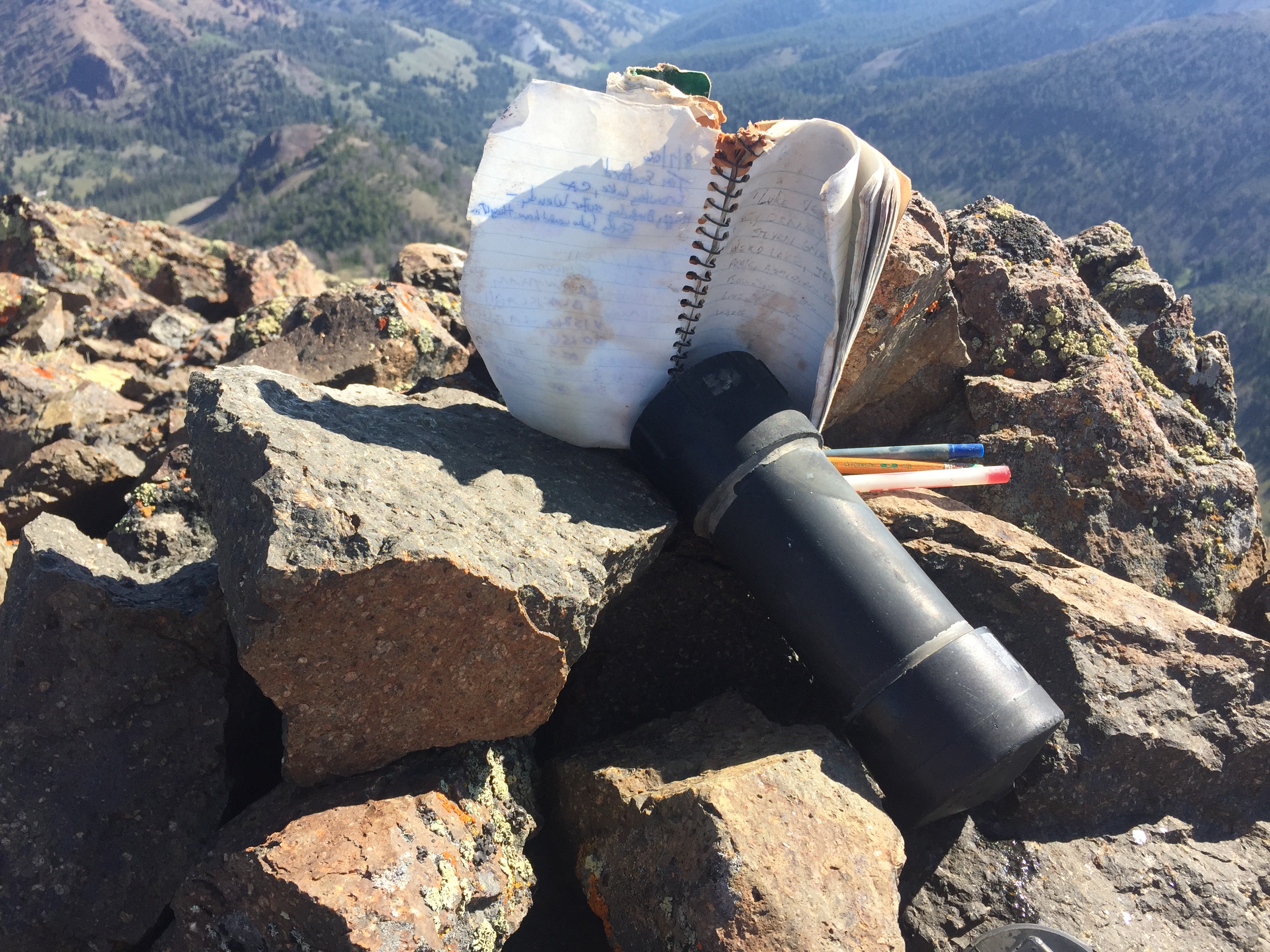
The peak has a register placed in 1985. There were roughly 20 entries in 32 years.
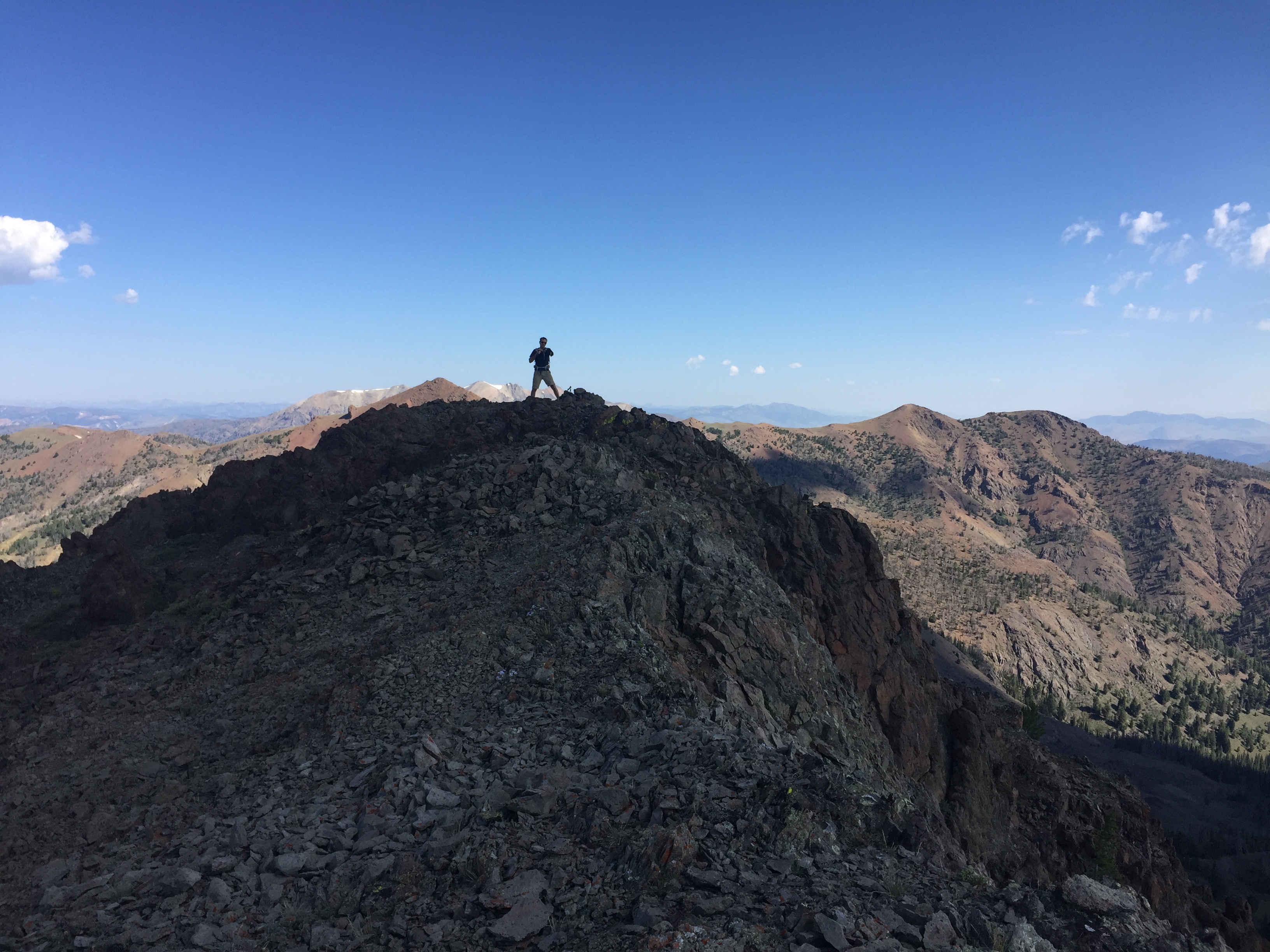
The North Summit of Meridian Peak.
Meridian Peak. Dan Robbins Photo
Additional Resources
Regions: Boulder Mountains->EASTERN IDAHO
Mountain Range: Boulder Mountains
Longitude: -114.32049 Latitude: 43.95001