Elevation: 10,082 ft
Prominence: 3,542
Climbing and access information for this peak is on Page 123 of the book. Deb Rose provided great photos documenting the route set forth in the book. Judi Steciak has provided a more detailed route description and photos for climbing the peak’s WSW Ridge. These additions are found down the page. Updated April 2018
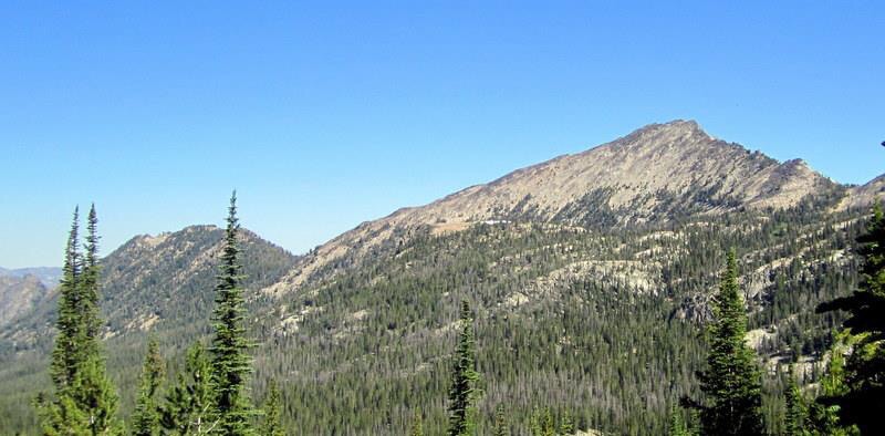
Mount McGuire is the highest point in the Bighorn Crags. USGS Mount McGuire
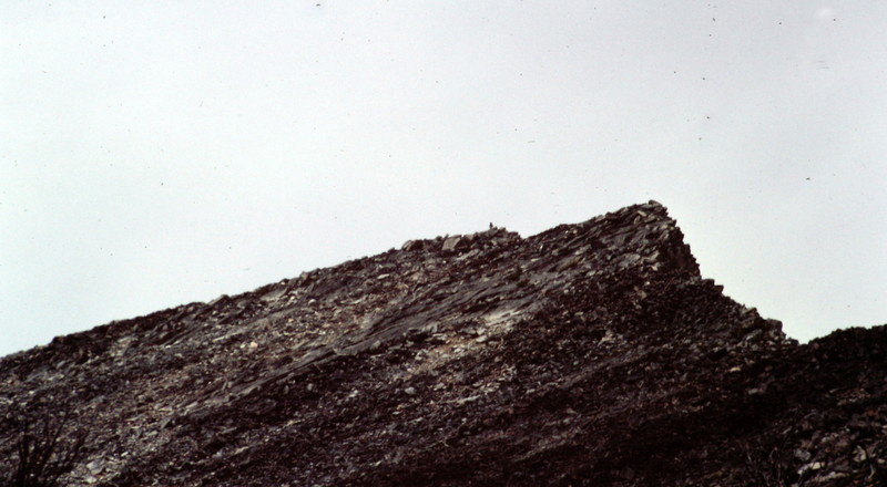
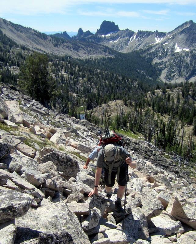
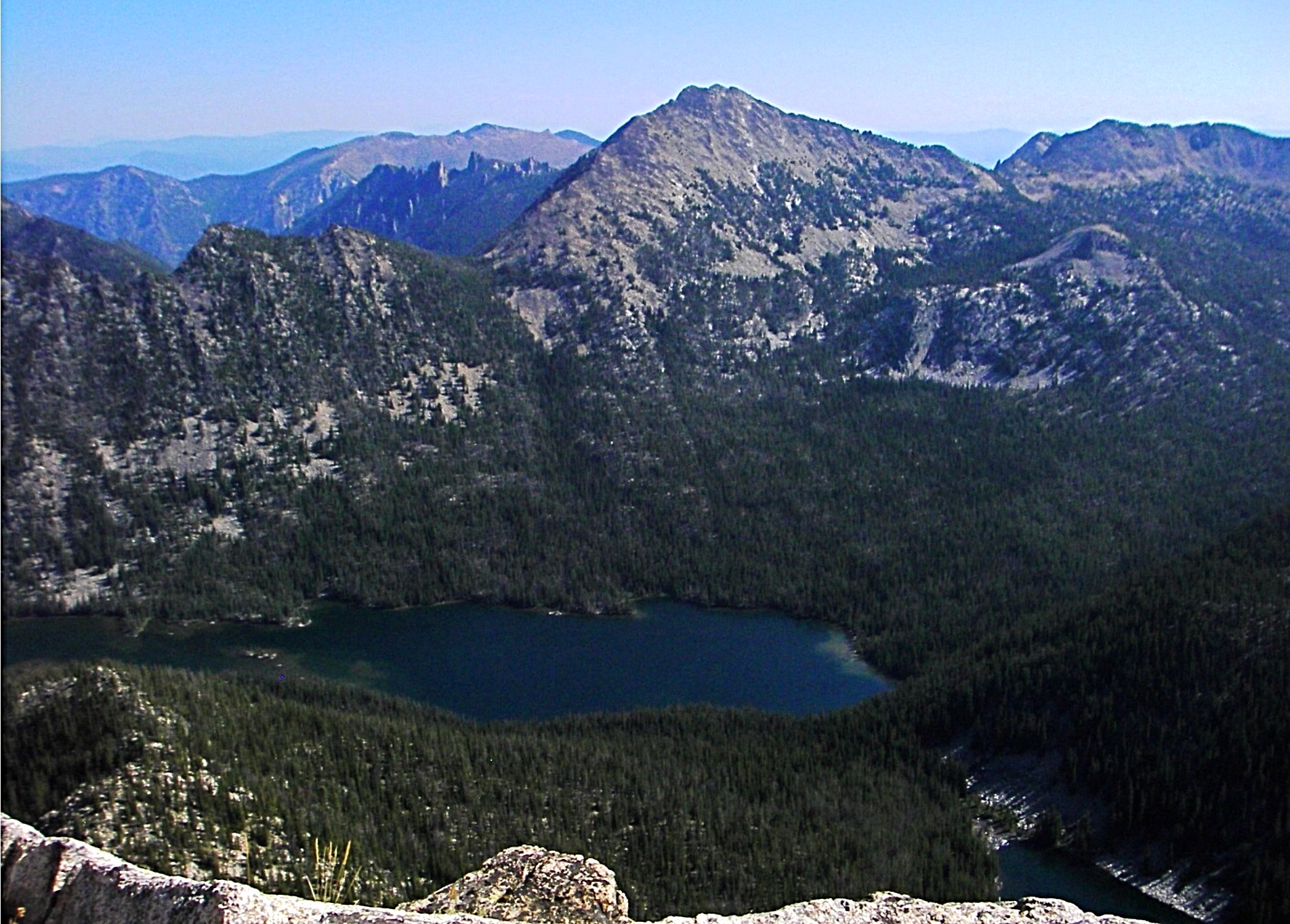
Approaching the summit of Mount McGuire.
The following photos were taken by Deb Rose during a July 2015 climb via the standard route.
Climbing Mount McGuire. Deb Rose Photo
Approaching the beginning of the ridge. Deb Rose Photo
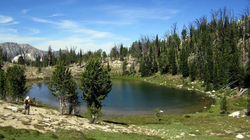
A small tarn at the base of the ridge. Deb Rose Photo
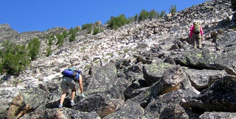
Starting up the ridge. Deb Rose Photo
Higher up, the ridge is a bit blocky. Deb Rose Photo
The last section of the ridge. Deb Rose Photo
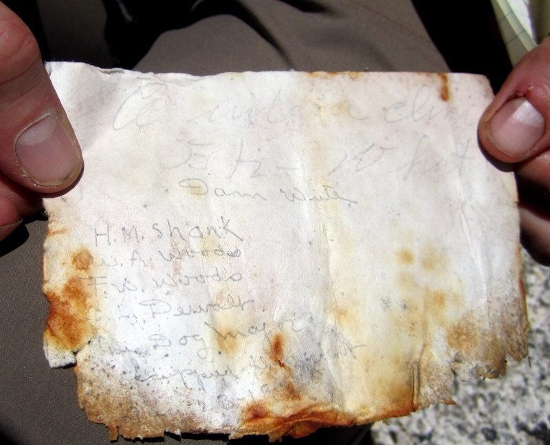
The original summit register dating back to 1926. Deb Rose Photo
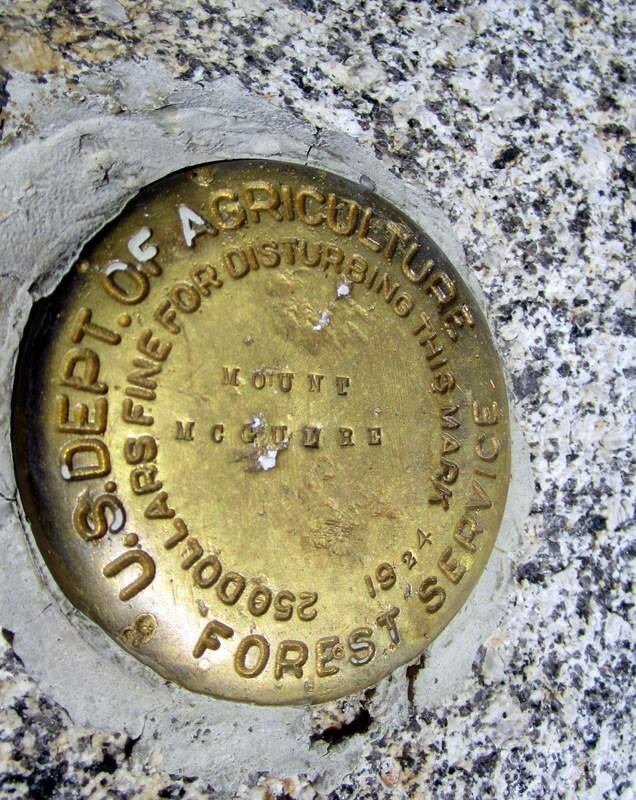
The summit benchmark. Deb Rose Photo
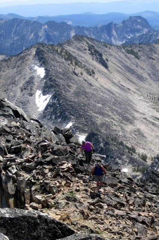
WSW Ridge, Class 2 by Judi Steciak
Where the intermittent stream enters Ship Island Lake from the saddle between McGuire and Point 9270, start up the drainage on its West Side. You may find old cut logs, blazes, and eventually switchbacks in the gravel near the saddle – evidence of a long abandoned trail that wanders across and up the drainage. Occasional flagging tape may remain from more recent usage. A few cairns of undetermined age exist as well. Once you reach the saddle, head up the WSW Ridge over boulders to the summit.
Return the way you came or do a loop hike: descend the Southeast Ridge, walk down to a pond at 9,150 feet and then follow the drainage towards Airplane Lake and the trail back to Ship Island Lake [(H)(4.1.1.1)(a.2.1) on Page 144 ], a reversal of the description on Page 123.
Mount McGuire as viewed from Aggipah Mountain with the WSW Ridge in view and the Southeast Ridge in profile. Judi Steciak Photo
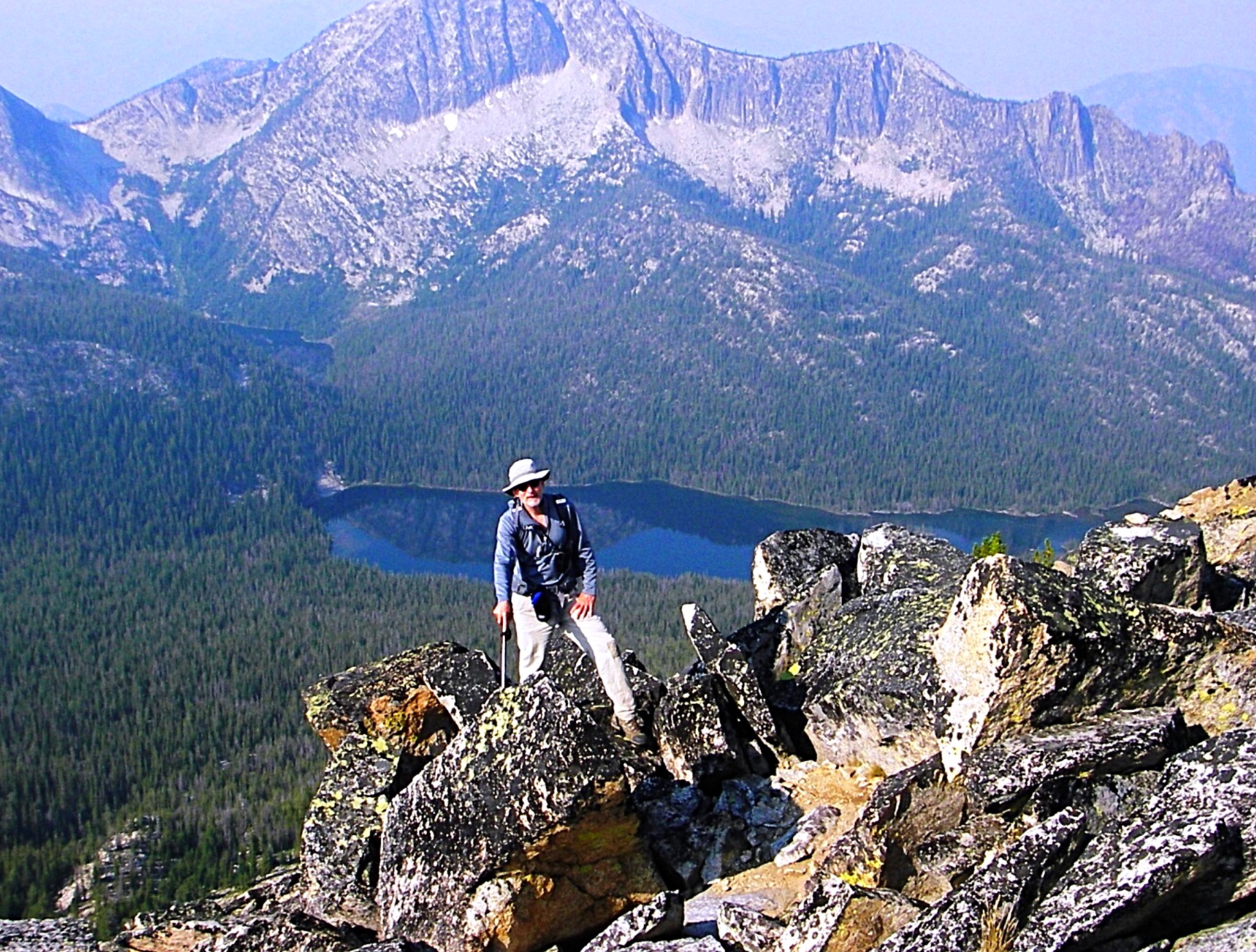
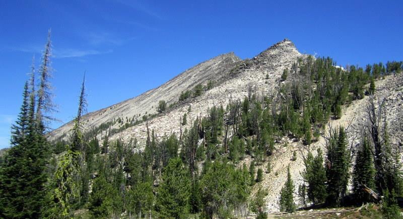
Walking up the WSW Ridge of Mount McGuire with Aggipah Mountain in the background. Judi Steciak Photo
Additional Resources
Mountain Range: Eastern Salmon River Mountains
Year Climbed: 1983
Longitude: -114.6021 Latitude: 45.1739