Elevation: 4,335 ft
Prominence: 350
This peak is not in the book. Livingston Douglas provides additional photos as well as updated access and route information. Updated January 2023
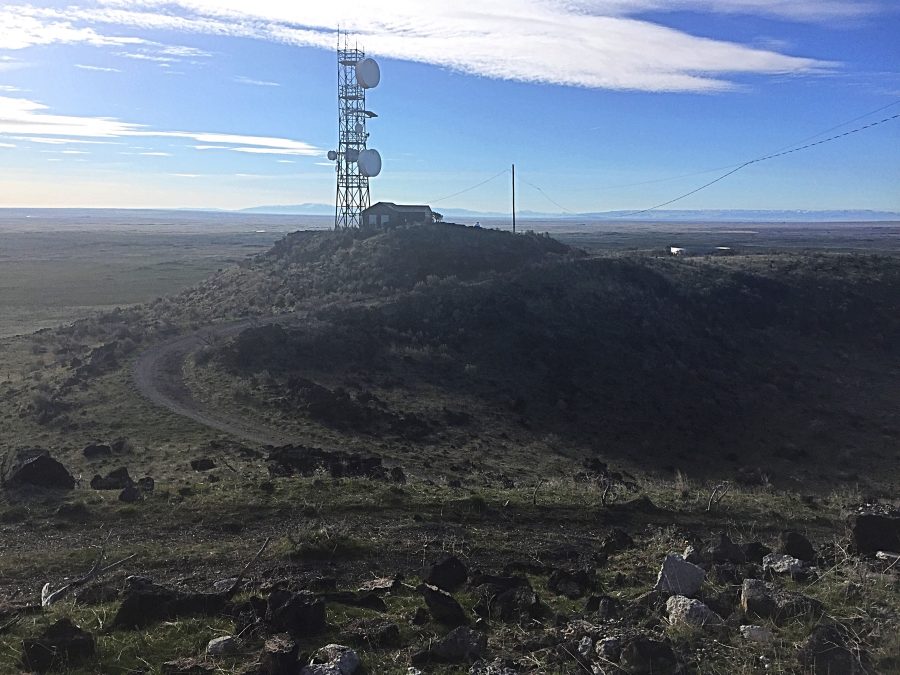
Notch Butte is located just southeast of Shoshone, Idaho. The building on the summit was once a fire lookout. It was converted to an enclosed radio tower sometime in the early 2000s. It is a short hike or mountain bike ride to the summit from US-93. USGS Shoshone
The summit of Notch Butte
Livingston Douglas Updates
Access
Notch Butte Road (unsigned) is located on US-93 exactly 3.0 miles south of the US-93/ID-24 junction at the south end of Shoshone. It is also 11.0 miles north of the US-93/ID-25 junction on US-93. Notch Butte Road is unsigned but the antenna-clad butte is obvious. Drive 0.2 miles up Notch Butte Road and park (4,180 feet) or drive farther up (and left at a junction high up) to reach the summit.
West Face, Class 1
The Climb
From the parking area, hike east up the service road and go straight/left at an unsigned junction high up. Continue up the road to the summit area. There is a USGS benchmark in a ground boulder just west of the summit “foundation” high point.
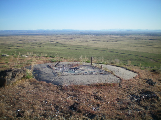
This concrete foundation is the high point of Notch Butte. Livingston Douglas Photo
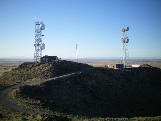
Looking south from the summit of Notch Butte. The communication towers are not quite the highest point. Livingston Douglas Photo
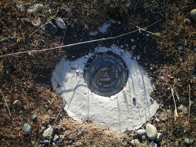
The USGS benchmark atop Notch Butte. Livingston Douglas Photo
Additional Resources
Regions: SNAKE RIVER PLAIN
Mountain Range: Snake River Plain
Year Climbed: 1979
Longitude: -114.4181 Latitude: 42.8849