Elevation: 10,020 ft
Prominence: 1,200
This peak is not in the book. Updated June 2021
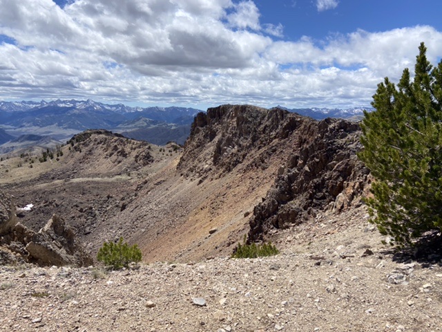
South Jerry Peak is 10 feet higher than its officially-named neighbor, Jerry Peak. The two peaks are joined by a unique high, wide alpine ridge with a precipitous western faces. The straight line distance between the two peaks is 2.1 miles. Of the two peaks, South Jerry Peak is the more rugged peak. The 360 degree views from the peak take in the White Cloud Mountains, the Salmon River Mountains, the northern Lemhi Range, the Lost River Range, the White Knob Mountains and the Pioneer Mountains. USGS Jerry Peak
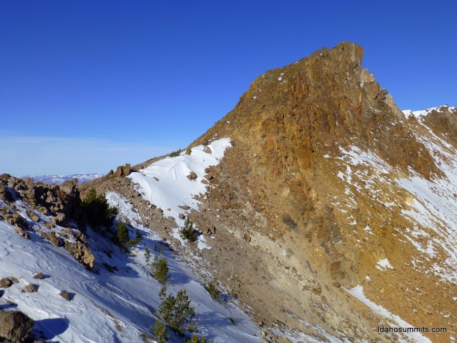
South Jerry Peak. Dan Robbins Photo
Access
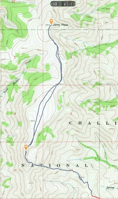
The best access to South Jerry Peak is via Burnt Creek. The Burnt Creek Road, FSR-410 is signed and accessed from the Trail Creek Road 16.0 miles west of its junction with US-93. FSR-410 is a 4WD route that has numerous obstacles. It is far from level and exceedingly steep in its upper reaches and has few spots to pull off and park. It is 4.2 miles to the parking area shown on the map below.
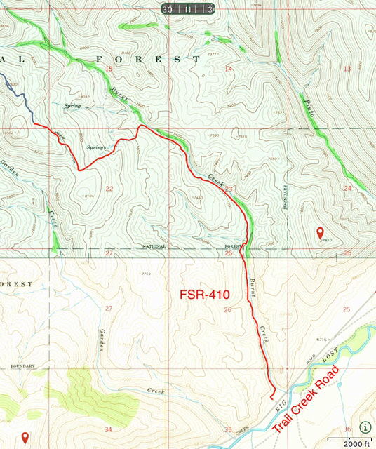
FSR-410 is not for Subarus of the faint of heart. Show here in red it is 4.2 miles to its end. Many will find it wise to park before it climbs out of Burnt Creek to the ridge above.
East Rib, Class 2
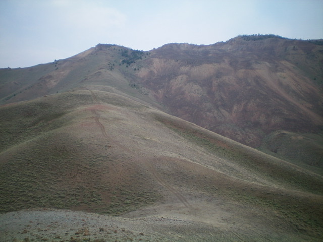
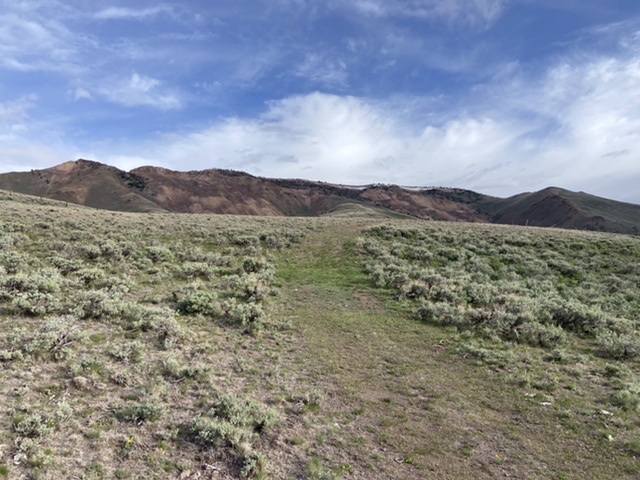
The road continues on from the parking spot through a range fence and then quickly deteriorates into an ATV track. Follow the track up the rib. There is one spot where the ATV track dives off the ridge to avoid a high point. Stay on the ridge at this spot. Once the ATV track ends the already steep rib steepens. Continue up until just below the ridge top. Follow the ridge top north to the summit block. A good goat trail climbs up the summit block’s steep talus to the high point. Jason Floyd left a register in 2021.
Looking up the east rib (left of center). The summit is amongst the choppy ridge rock on the high ridge in dead center. Livingston Douglas Photo
Looking up the ATV track toward the South Jerry Summit ridge.
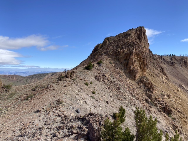
The summit block from the south. Steve Grantham is left of center to give perspective.
My GPS track for South Jerry Peak and Jerry Peak. Round trip for both peaks totaled 8.6 miles with 2,247 feet of gain.
South Jerry Peak’s eastern face with the Pioneer Mountains in the background.
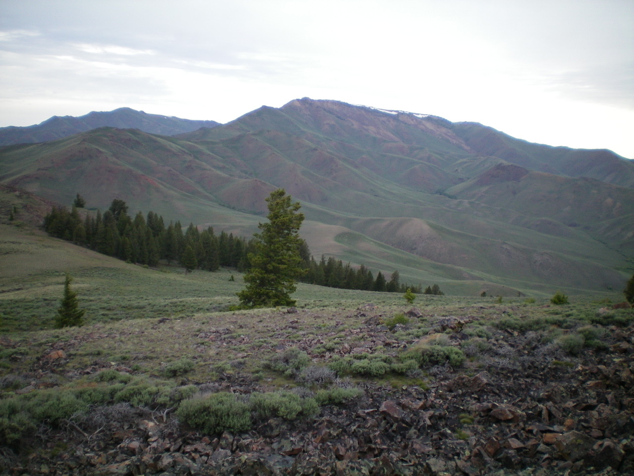
View of South Jerry Peak (center) from the summit of Peak 8700. Livingston Douglas Photo
Additional Resources
Regions: Boulder Mountains->EASTERN IDAHO
Mountain Range: Boulder Mountains
Year Climbed: 2021
Longitude: -114.11701 Latitude: 44.02769