Elevation: 10,334 ft
Prominence: 314

This peak is not in the book. Livingston Douglas provided the new route information which is set out below. Updated November 2021
Peak 10334 is located 0.8 miles northwest of Rock Roll Peak. It is best climbed via the connecting ridge with Rock Roll Peak. The intervening saddle is at roughly 10,000 feet. There are no major obstacles on the route. Class 2. USGS Rock Roll Canyon
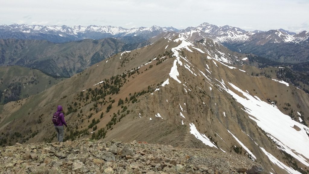
Peak 10334 as viewed from Rock Roll Peak. The route between the two peaks is clearly visible. Mark Jones Photo
Access
Same as for Rock Roll Peak.
Southeast Ridge, Class 2
The Southeast Ridge starts at the saddle between Peak 10334 and Rock Roll Peak. Descend that peak’s Northwest Ridge to the intervening saddle at roughly 10,000 feet. Climb the Southeast ridge to the summit. There are no major obstacles on the route.
Park Creek Routes by Livingston Douglas
Peak 10334 sits at the head of Cold Canyon on a magnificent high ridge in the Boulder Mountains, southwest of Trail Creek Summit. This is the second leg of a 3-peak adventure that includes Peak 9617, Peak 10334, and Rock Roll Peak (10,458 feet). It covers 9.0 miles with 3,950 feet of elevation gain round trip.
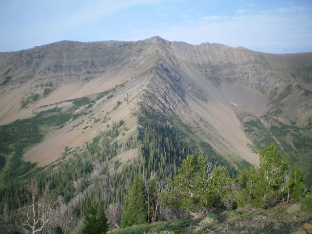
Peak 10334 (dead center) and its magnificent northeast ridge (coming at the camera). Livingston Douglas Photo
Access
Same as for Peak 9617. This is the second leg of a 3-peak journey.
Northeast Ridge, Class 3
The Climb
From the 9,100-foot connecting saddle with Peak 9617, bushwhack southwest up the forested ridge line then drop 30 feet from a ridge bump to a minor saddle. The terrain in this first section of the ridge is not fun. It is a dense mix of ridge trees, rocky outcrops, and steep sides of scree/gravel. Once at the minor saddle, continue southwest up the narrow ridge crest in a continuing battle with ridge trees, blowdown, and rocky outcrops.
Climb up the rocky outcrops (Class 3) for the easiest going. The ridge is a steady uphill grind, with few ups and downs. There are some short sections of steep, loose scree so look for rocky ribs to gain footing. The summit of Peak 10334 is a small hump and sits right at the top of the northeast ridge. It has a small cairn. Were it not for the ridge trees and blowdown, the northeast ridge would be a magnificent scramble.
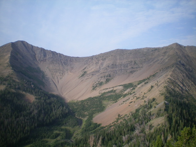
Peak 10334 (right), Rock Roll Peak (left), and their high connecting ridge. Livingston Douglas Photo
Southeast Ridge, Class 2
The Descent
From the small summit, descend the narrow ridge crest southeast in open terrain with only a few ridge trees. The talus/scree is quite loose. This ridge goes quickly thanks to few ridge outcrops and minimal ups and downs. Get a good look at the nearby northwest ridge of Rock Roll Peak (10,458 feet) as you descend to the 10,020-foot connecting saddle. Once at the saddle, the second leg of today’s 3-peak journey is complete. Rock Roll Peak is up next.
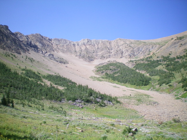
The large basin underneath the north side of Peak 10334 and the choppy northwest ridge. Baugher’s ascent route climbs up the right side of the basin onto the northwest ridge and then heads southeast to the summit. Livingston Douglas Photo
Additional Resources
Regions: Boulder Mountains->EASTERN IDAHO
Mountain Range: Boulder Mountains
Year Climbed: 1992
Longitude: -114.30211 Latitude: 43.80811