Elevation: 11,070 ft
Prominence: 530
Climbing and access information for peak is on Page 288 of the book. Livingston Douglas provides more detailed access and route description than found in the book.
There is no easy way to reach South Twin, which sits on the main Lost River Range Crest south of Pass Creek Summit. When Rick Baugher reached the top in 1990, he found no evidence of a prior ascent. USGS Sunset Peak
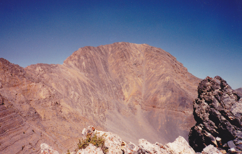
Rick’s first ascent route climbed up the rib on the left side of this face.
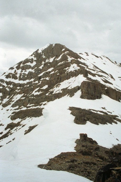
South Twin as viewed from just above the South Twin/North Twin col.

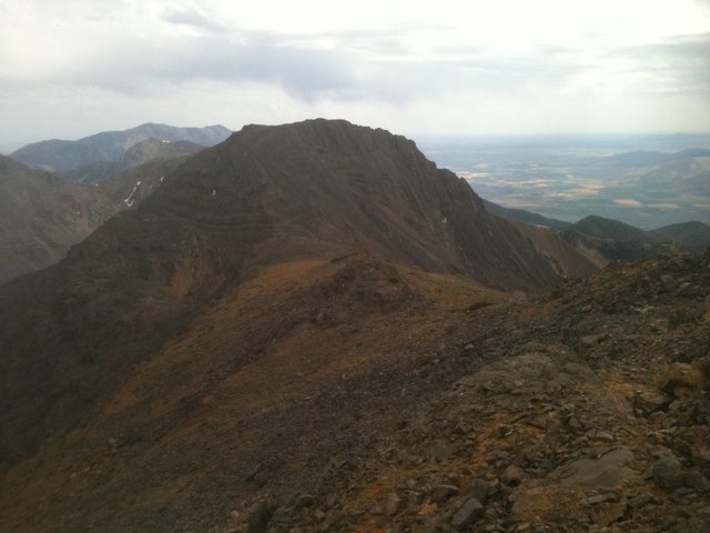
South Twin as viewed from North Twin .
Use the link below to read John Fadgen’s trip report which provides an excellent account of the difficulties involved in climbing this peak.
North Ridge, Class 2 by Livingston Douglas
Access
Elbow Canyon Road/FSR-273 [(D)(1) on Page 294]. Climb the west face/west ridge of North Twin, then descend the south ridge to reach the North Twin/South Twin ridge saddle at 10,540 feet.
The Climb
Please note that this is NOT the standard Cabin Fork Canyon approach. This one starts in Elbow Canyon. You’ll really have to work to get South Twin done by this route. From the small saddle (10,540 feet) that connects North Twin and South Twin, climb up the ledge-y shale ridge outcrops, staying to the climber’s right/west of the ridge crest to avoid steep cliff bands. You will reach easier ground higher up and have an easy finish on the gentle summit plateau. The high point is at the southwest end of this flat summit area. I had no problems keeping this climb at Class 2. It is NOT of Class 3 difficulty unless you choose to make it harder than it has to be. The climb is just over 500 feet and takes a little over 20 minutes to ascend and just under 20 minutes to descend. You’ll get a good look at North Twin’s South Ridge from the summit (and North Ridge) of South Twin. That ridge is much tougher than this one. If you did the traverse from North Twin to South Twin, you will now wonder if you can get back up on top of North Twin. I know I did.
Additional Resources
Regions: EASTERN IDAHO->Lost River Range
Mountain Range: Lost River Range
First Ascent Information:
- First Ascent Year: 1990
- Season: Summer
- Route: Rib on the left side of the west face.
- Party: Rick Baugher