Elevation: 4,540 ft
Prominence: 280

This peak is not in the book. Also see the Owyhee Mountains Peaks List for all of the peaks in this range. Updated April 2019
The access road described below was recently posted as a “PRIVATE ROAD.” The road crosses about 50 feet of private property between US-95 and public lands. Check with the BLM before using the access road: +1 (208) 384-3300
This volcanic plug peak has 280 feet of prominence and excellent access. If you come to this area to climb Buck Mountain, I recommend making the short Class 3 ascent to this summit. Please note that the majority of the summit block is vertical and would involve technical climbing. A Class 3 route can be found up the peak’s southwest side. USGS Piute Butte
The East Face of Peak 4540 as viewed from Buck Mountain.
Access
Access the peak by driving just east of Marsing, Idaho where US-93 and ID-55 meet. Drive 13.5 miles south from this junction and turn left/east onto Squaw Creek Road. Note that this road looks private since a nearby ranch has built an arch over the entrance. Follow the road up and east to Peak 4540. You cannot miss it, as the road cuts across the peak’s northern slopes. Stop where you have access to the peaks west side and park.
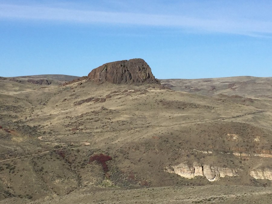
The Southwest Face of Peak 4540. The route I climbed works its way up this face in a zig-zag manner, generally keeping right to avoid cliffs and then cutting back to the left once the summit ridge is topped.
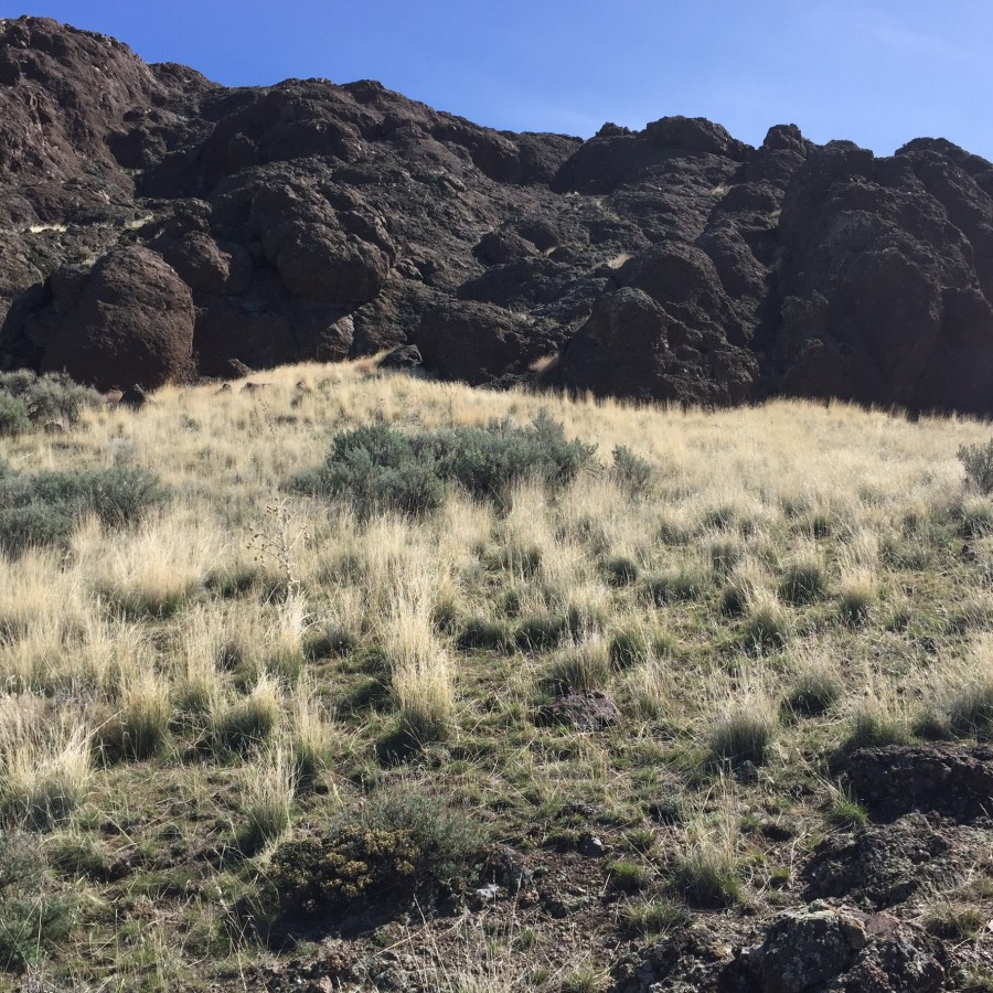
South Side Scramble, Class 3
Refer to the GPS track below to orient yourself. I placed cairns along the route shown on the track. Be careful, you can easily get off track and onto slippery, dangerous terrain. Mark your route so that you can find your way down with running into a cliff. From where I parked, it was 0.4 miles with 380 feet of elevation gain to the summit.
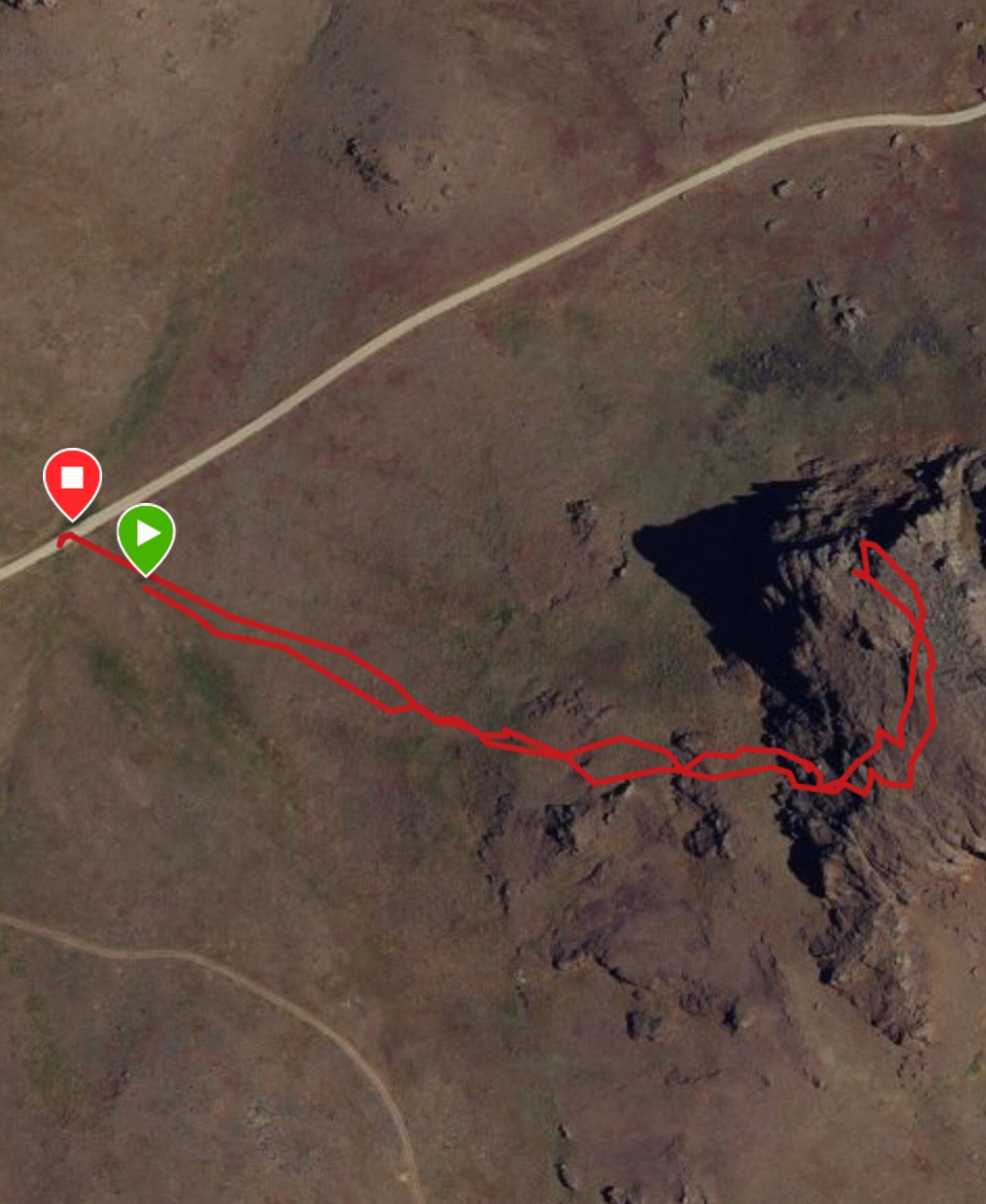
My GPS track for Peak 4540.
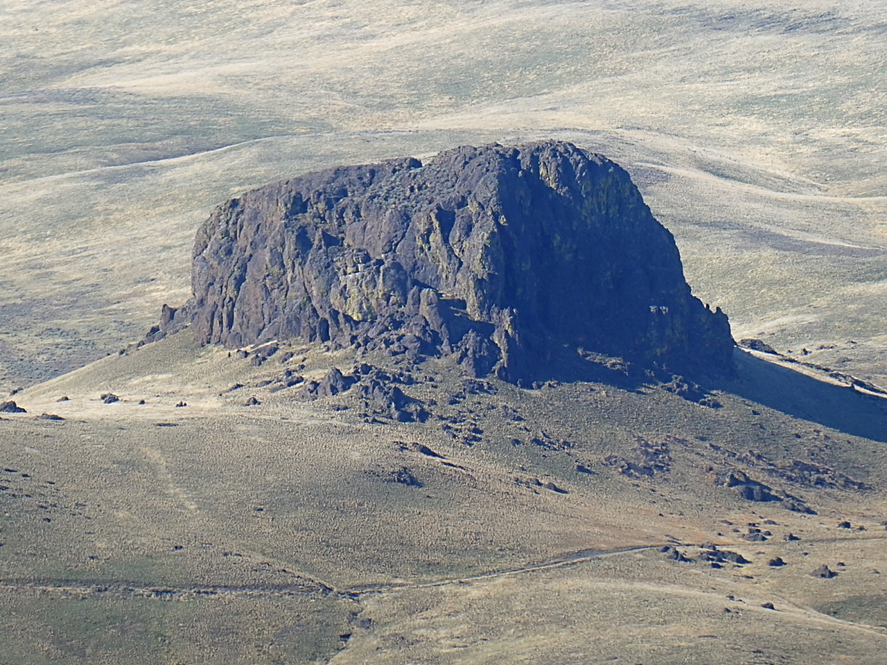
Peak 4540 viewed from French John Hill.
Additional Resources

