Elevation: 5,944 ft
Prominence: 604
This peak is not in the book.
Devils Hole Peak takes its unofficial name from the Devils Hole, which sits to its north in the deep canyon of the South Fork Boise River. The peak sits on the main Danskin Mountains Crest between Peak 6244 and Little Fiddler. USGS Danskin Peak
Access
This peak is most easily climbed from the East and the Danskin Peak Lookout Road [(D)(1) on Pages 154-155]. Follow the road until you reach the point where it reaches the ridge crest. There is a gate and the beginning of an ATV trail at this point. This spot is on private property. Descend back down the road a short distance and find a parking spot on public land. There are not many options but there is unlikely to be anyone else parking here.
South Ridge, Class 2
From your parking spot, climb west up to the top of the South Ridge and follow it to the summit.

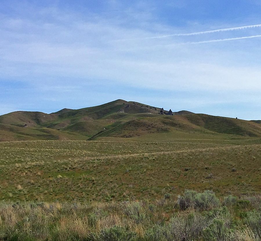
Devils Hole Peak as viewed from the south.
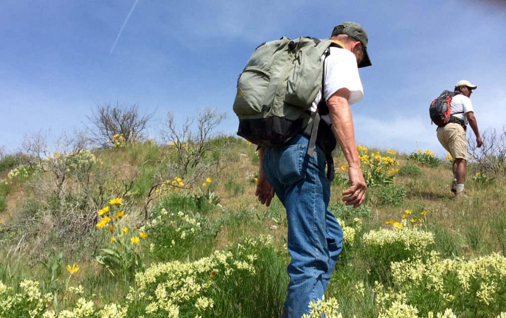
The East Slopes are not exceedingly steep and are covered with wildflowers in the Spring.
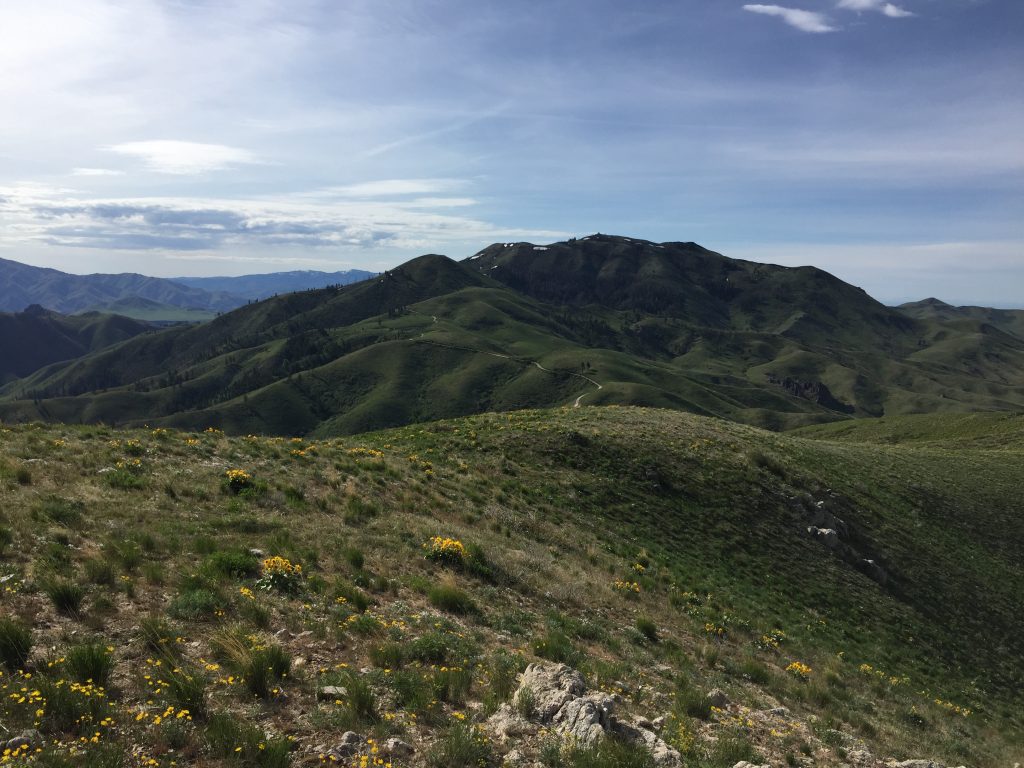
The view east to Peak 6244 and Danskin Peak.
Additional Resources
Regions: Boise Mountains->Danskin Mountains->WESTERN IDAHO
Mountain Range: Boise Mountains
Year Climbed: 2016
Longitude: -115.68039 Latitude: 43.44429