Elevation: 6,300 ft
Prominence: 680
This peak is not in the book.
Peak 6300 is located south of the Middle Fork Boise River. The peak is drained by Elk Creek, Corral Creek and Alder Creek. Access Peak 6300 from Middle Fork Boise River Road and Slide Gulch Road [(C)(1) on Page 154]. Follow the Slide Gulch Road southeast from the Middle Fork Boise River Road to the first pass, which sits between Slide Gulch and Elk Creek. There is room for two vehicles to park on the pass.
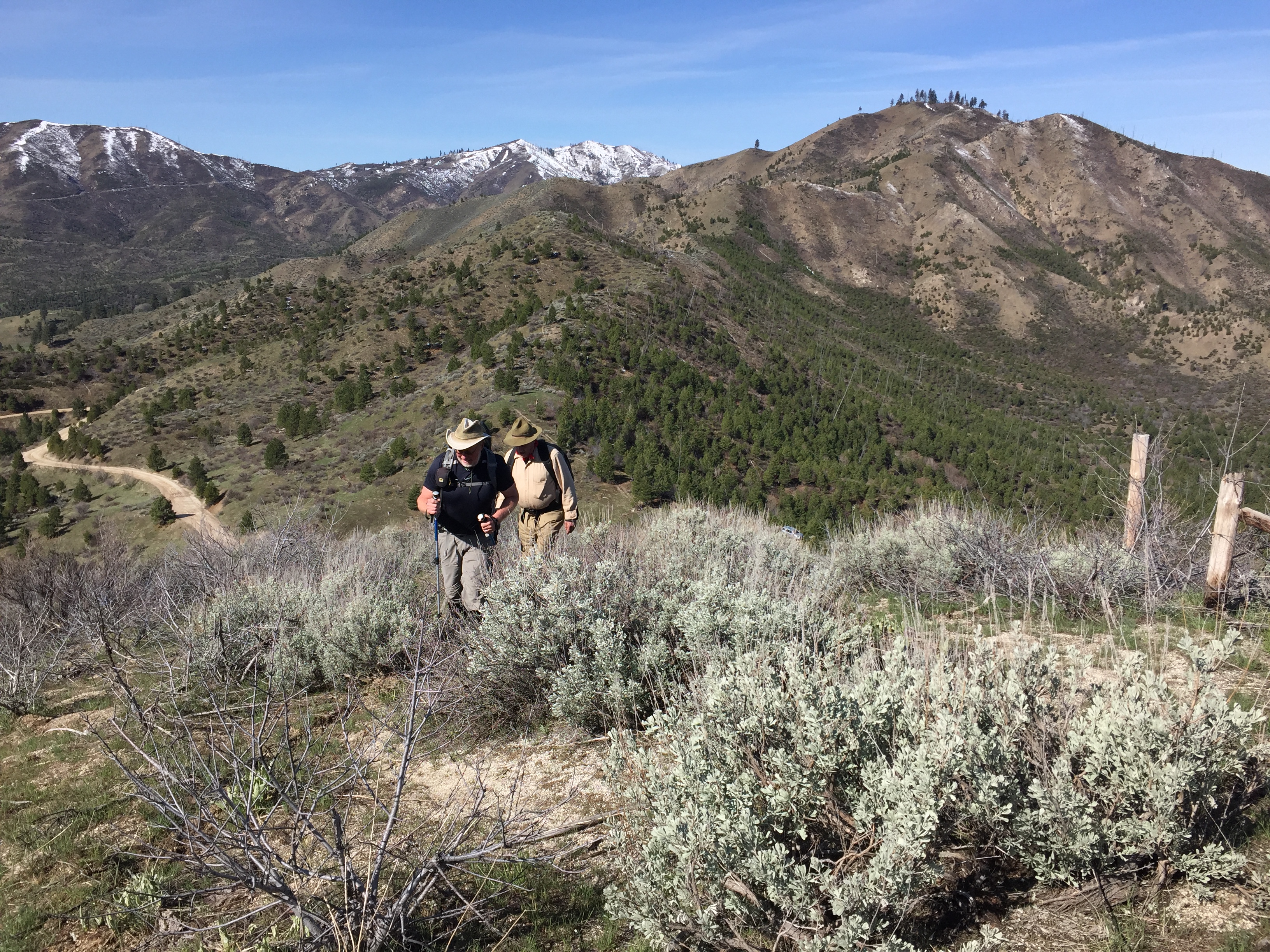
From the pass, follow the wandering ridge line northeast and then southeast to the summit. Expect to work your way through brush in a few spots. The ridge has some ups and downs. When you reach the summit of Peak 6300, you will gain nearly 2,000 feet of elevation in 2.5 miles. Class 2. USGS Twin Springs
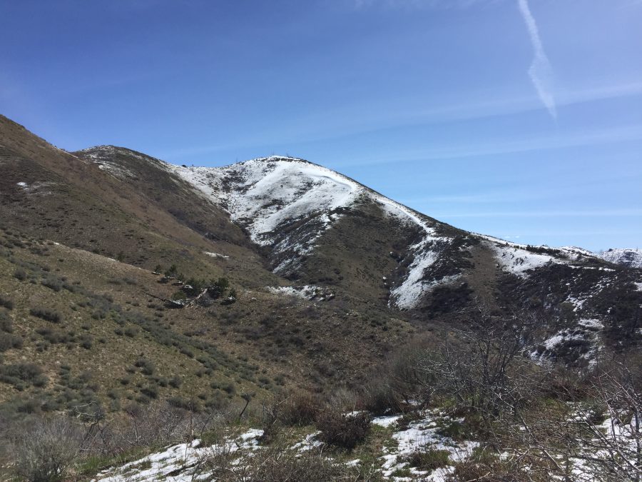
Start out on the South Side of a fence line that runs up the ridge. This shot was taken from roughly 250 vertical feet above the pass. Peak 5424 is in the background, right of center.

As you ascend higher, you eventually see the summit.
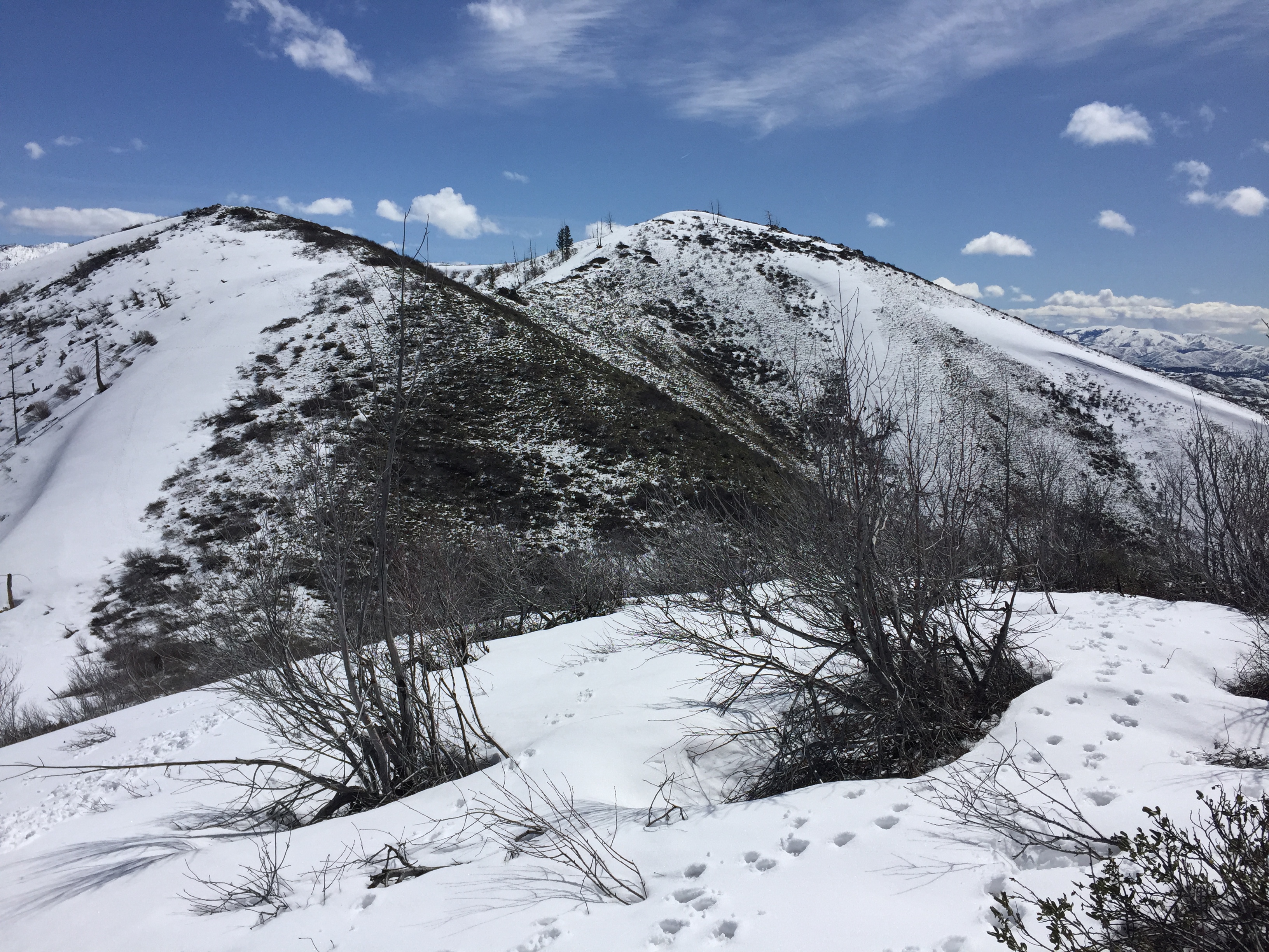
The summit is guarded by two [lower] false summits. You can either go over them or side hill around them without difficulty.
Peak 6300 and Peak 5440 Loop
From Peak 6300, follow the connecting ridge over to Peak 5440. The only drawback of our walk was the need to hike 0.6 miles up the road to the pass where we started our hike.
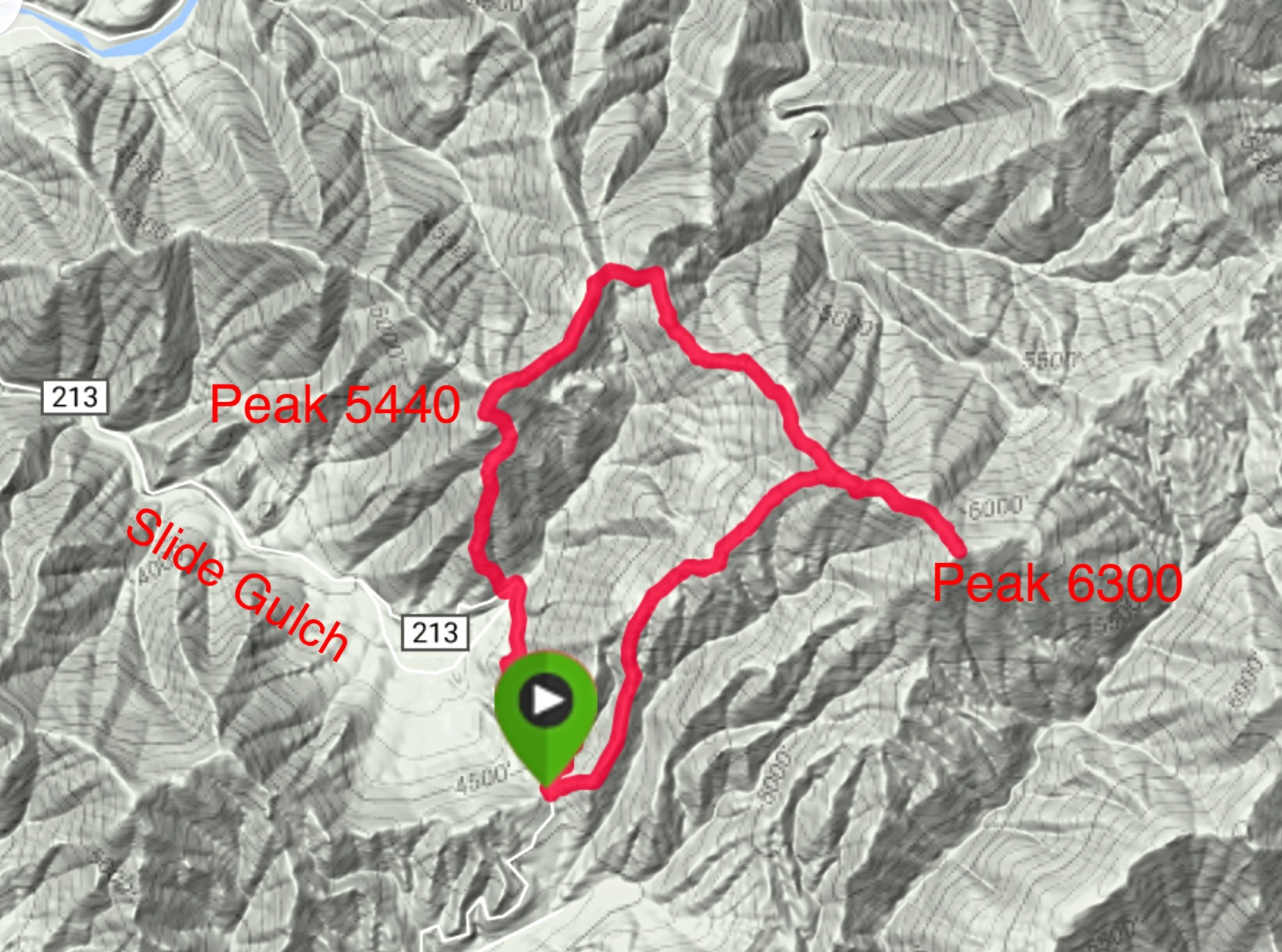
My GPS track for our traverse.
Additional Resources
Regions: Boise Mountains->WESTERN IDAHO
Mountain Range: Boise Mountains
Year Climbed: 2017
Longitude: -115.68609 Latitude: 43.63359