Elevation: 6,582 ft
Prominence: 442
This peak is not in the book. Margo Mandella and Livingston Douglas provided the access and route information. Updated November 2020
Peak 6582 lies approximately 3.8 miles due west of Scout Mountain on public land managed by the State of Idaho in the Bannock Range. This peak is easily accessed from its east side. USGS Clifton Creek
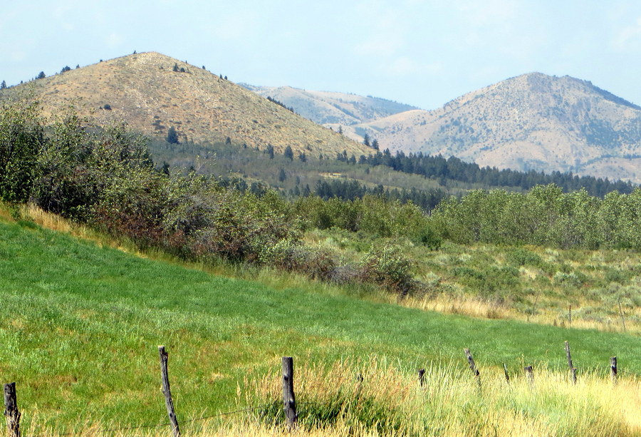
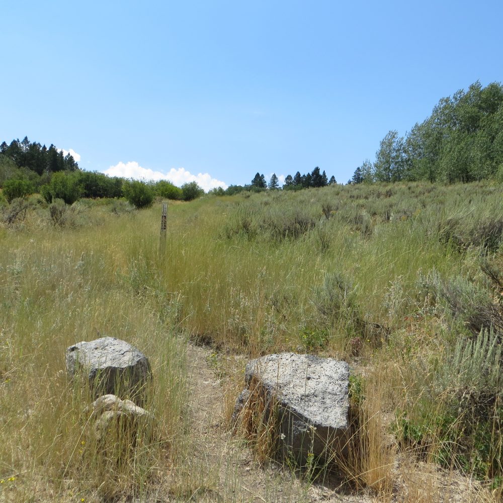
View of the east face of Peak 6582 and the thick aspen forest in between, as seen from the trailhead parking area along South Fork Mink Creek Road. Livingston Douglas Photo
Access
From the junction of Portneuf Road and the Bannock Highway, drive south on the Bannock Highway. At 4.5 miles, reach a junction with the East Fork Mink Creek Road (left turn). Continue straight south on the Bannock Highway. At 6.4 miles, the trailhead parking area for the West Fork Mink Creek Trail is on the right/west side of the highway. At 7.1 miles, reach a signed junction with the South Fork Mink Creek Road/FSR-163. Turn left onto FSR-163 and drive 2.4 miles to a signed trailhead parking area (5,870 feet). This is the trailhead for FST-184 which heads southeast from the left/east side of the road toward Box Canyon. We are not interested in Box Canyon nor the east side of the road. However, this is the perfect launching point for a climb of the east side of Peak 6582.
East Face/North Ridge, Class 2 by Livingston Douglas
The Climb
The open east face of Peak 6582 is clearly visible from the trailhead parking area and it’s only a mile away (if that). But there is a section of thick aspen forest to bash through to get there. There are two ways to reach the base of the east face. Bushwhack directly west through the aspen forest OR follow an old, [unsigned] 2-track road (initially only a foot path) that heads southwest and rounds a shoulder to curl northwest then north along the base of the east face.
The old 2-track road is not shown on any maps and, consequently, I didn’t ascend it since I had no idea where it goes. However, given the difficulty of the aspen forest bushwhack and now knowing that the road leads back to the trailhead parking area, I did descend the road and, although a slightly longer route, it was a joy compared to the forest bushwhack. Here again, inaccurate maps add to your workload until you figure out what the maps SHOULD be showing you.
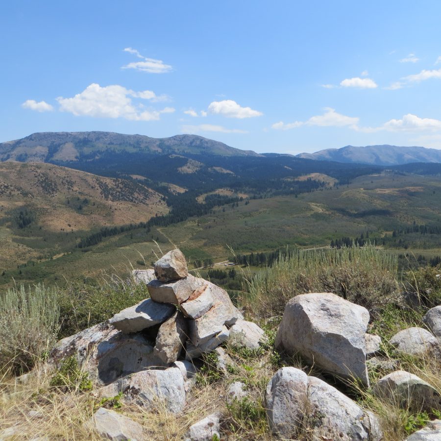
Once you reach the base of the east face, bash through a short section of pine forest between the old 2-track road and the open terrain of the east face. Scramble up the steep scrub and scree on the east face (using deer trails to help) to reach the north ridge. Follow the north ridge left/southward a short distance to reach the summit of Peak 6582. There is a decent cairn atop the summit perch.
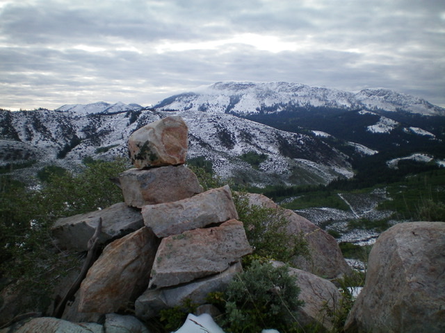
The summit cairn atop Peak 6582 with fresh snow covering Scout Mountain in the background. Livingston Douglas Photo
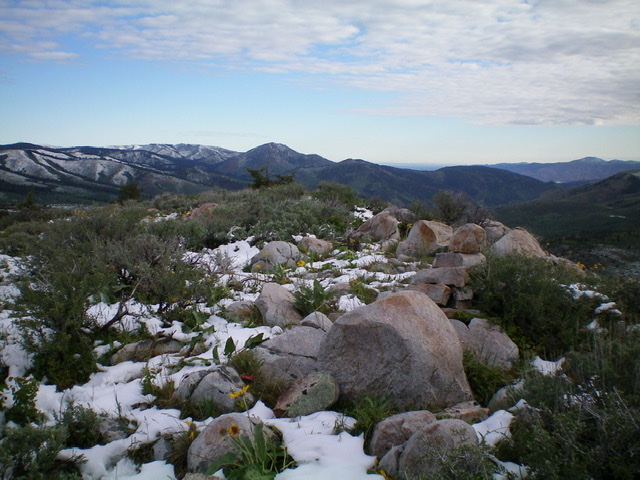
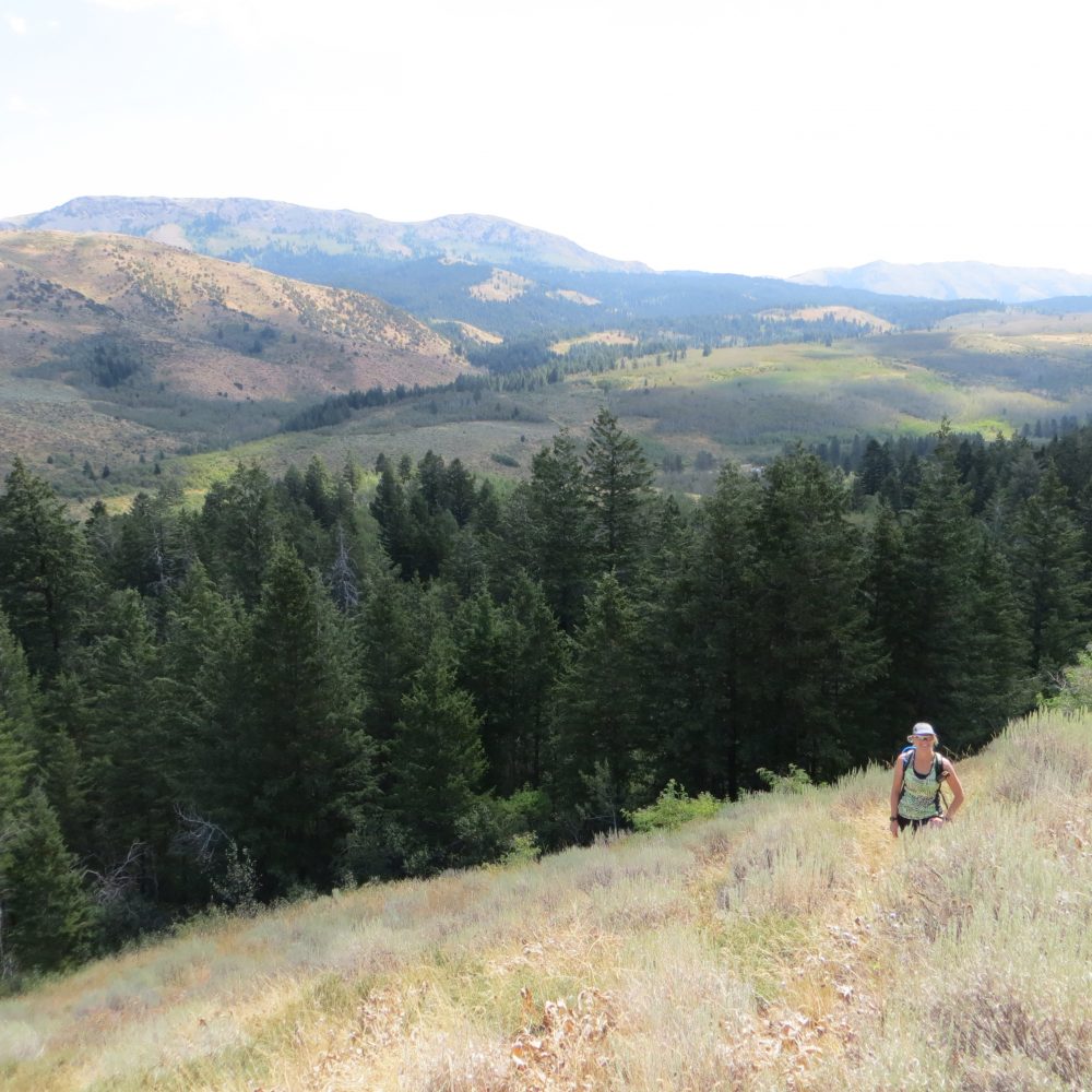
The summit area atop Peak 6582. Livingston Douglas Photo
Mandella Route, Class 2
The trailhead along South Fork Mink Creek Road. Steve Mandella Photo
From the trailhead hike through a grass/shrub/cow pie infested area and toward a stand of healthy aspen. Pass through the aspens and enter a pine forest.
As you enter this area, begin to look for a passable area with a faint game trail. Follow this trail through the trees to access the peak’s east slope. Be mindful of this location as you will want to use it on your descent.
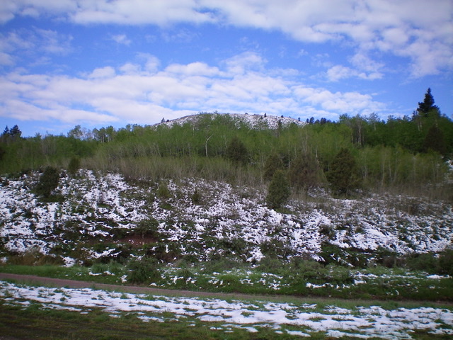
The east face of Peak 6582. Scout Mountain and Old Tom Mountain are in the background. Steve Mandella Photo
Continue uphill, picking your way through the vegetation and scattered rocks. Stay within an area between a snag to the north and a very large rock to the south for the easiest travel.
Once on top, hike a few minutes to the summit cairn and enjoy the views. The hike is about 2 miles round trip with 703 feet of elevation gain.
The summit of Peak 6582. Steve Mandella Photo
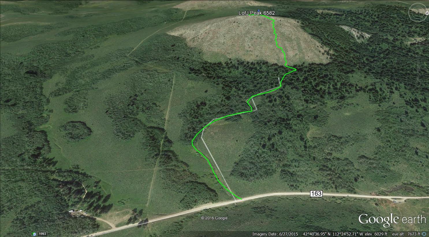
The route to the summit of Peak 6582. Margo Mandella GPS track
Additional Resources
Regions: Bannock Range->SOUTHERN IDAHO
Mountain Range: Bannock Range
Longitude: -112.42119 Latitude: 42.67779