Elevation: 7,390 ft
Prominence: 690

This peak is not in the book.
Peak 7390 serves as a gateway to the northwestern corner of the Frank Church River of No Return Wilderness. FST-501 leaves the Magruder Corridor Road/FS-468 at the 14-Mile Tree trailhead, which is 14.4 miles east of the west end of FS-468. The trail leads over the summit in 0.9 miles with 400 feet of elevation gain. This area burned recently but the trail was in good condition in August 2017. To reach the high point, leave the trail and walk west a short distance. USGS Boston Mountain
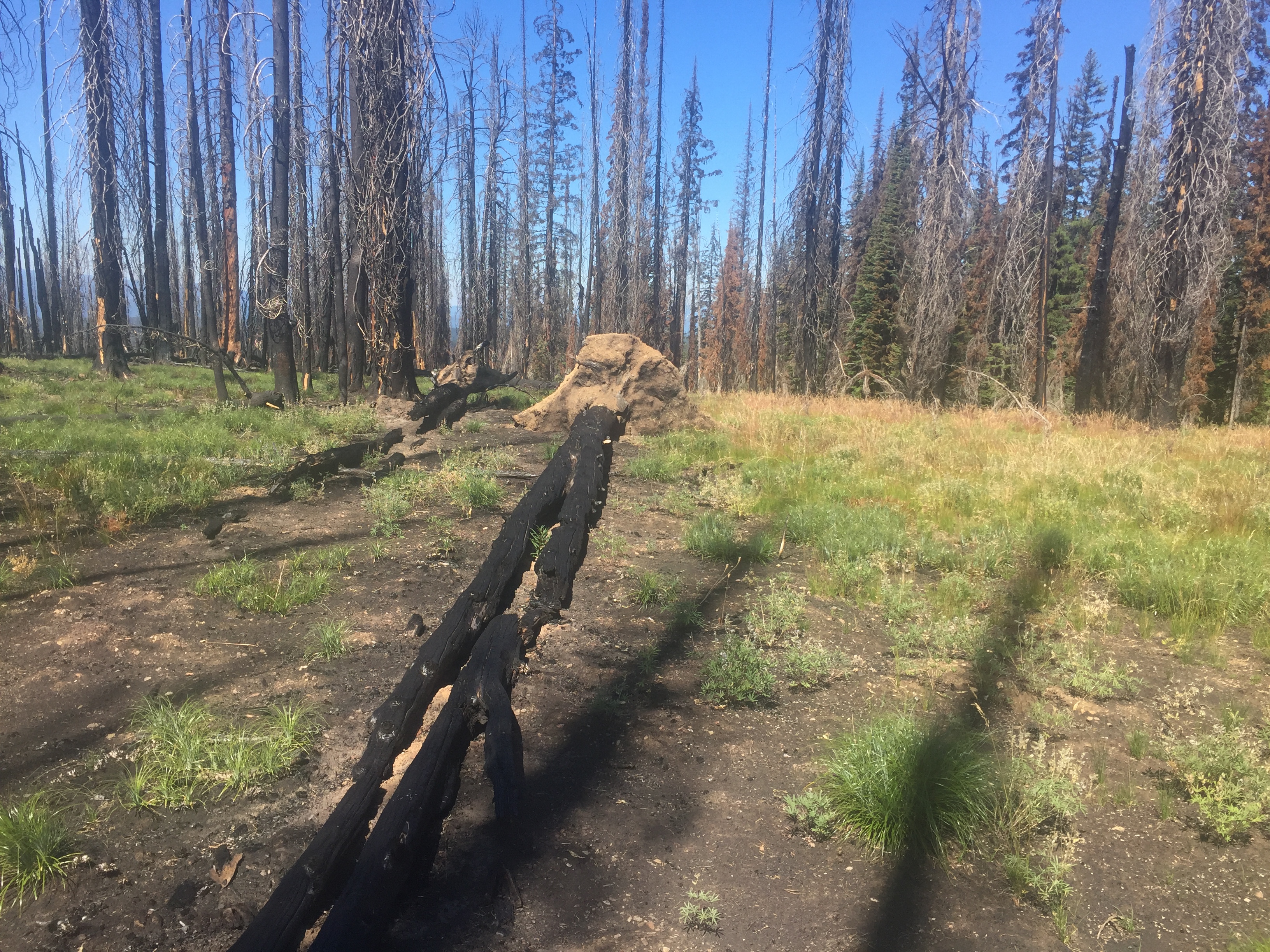
The summit of Peak 7390 is not remarkable. However, if you walk to the southern slopes there is a good view across the Frank Church River of No Return Wilderness.
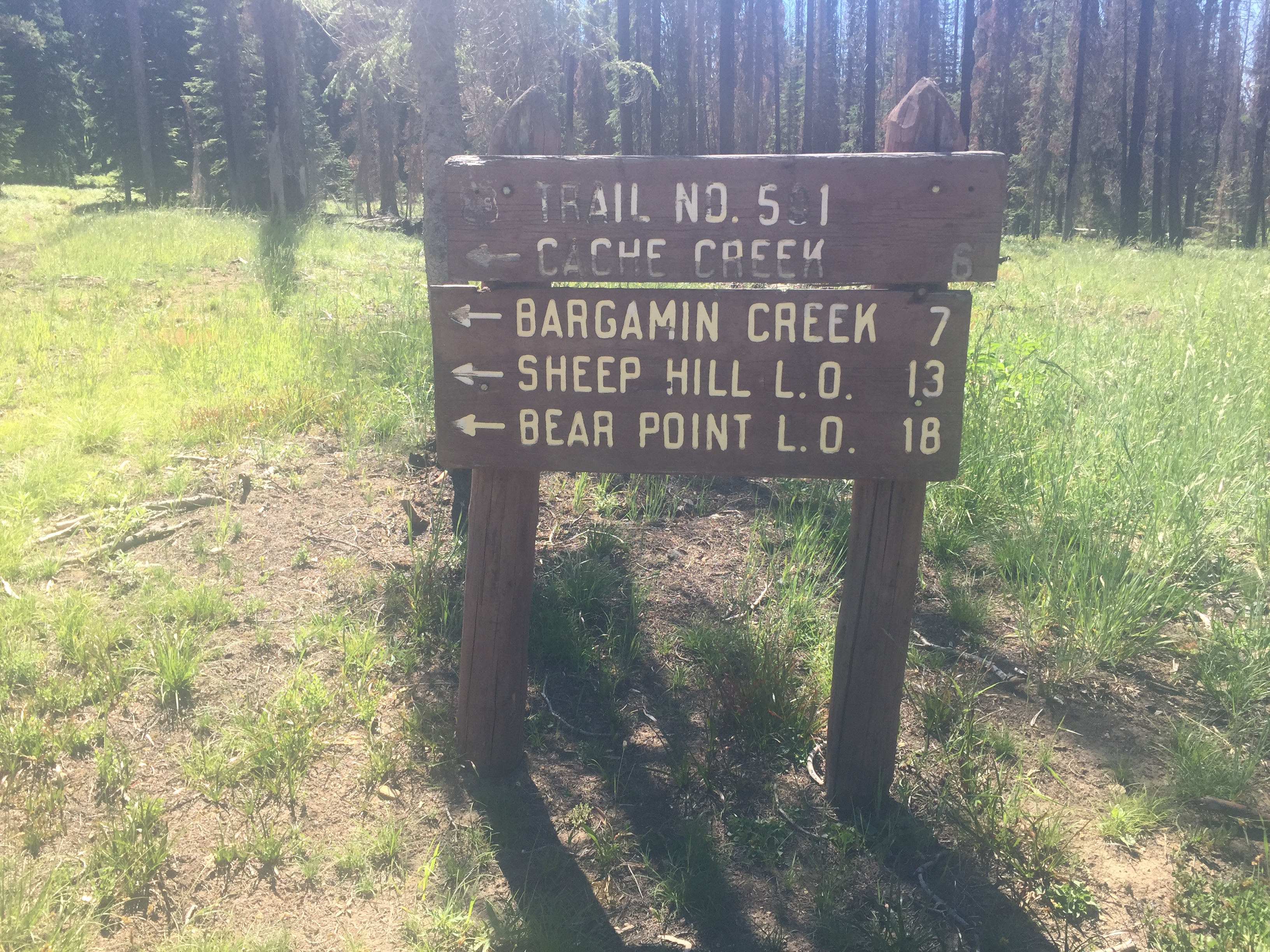
The 14-Mile Tree trailhead is the beginning of FST-501.
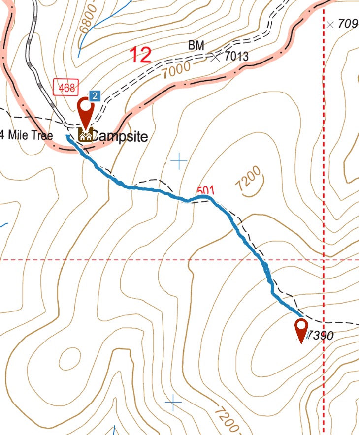
My GPS track.
Additional Resources
Mountain Range: Southern Clearwater Peaks
Year Climbed: 2017
Longitude: -115.15689 Latitude: 45.68109