Elevation: 7,561 ft
Prominence: 496
This peak is not in the book.
Peak 7561 is located east of Archie Mountain in the Boise National Forest. The peak has a broad summit highlighted by a beautiful meadow. The peak is only a short climb from FS-312. USGS Jackson Peak
Access
Park on the Northwest Side of the peak where FS-312 crosses a pass at approximately the 7,065-foot elevation point (see topo). The slopes of Peak 7561 were logged many years ago, but a dense forest has regrown.
Northwest Slopes, Class 2
My route followed the remnants of a debris-filled skid road for about two-thirds of the total distance. Albeit an easy climb, you will need good route-finding skills to stay on track in the forest, especially on the return. A compass or GPS is recommended for those who are navigationally-challenged. My one-way stats: 0.75 miles with 450 feet of elevation gain.
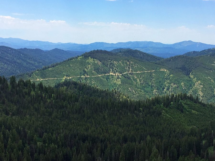
Peak 7561 as viewed from Jackson Peak. The ridge on the left starts at the FS-312 junction with the Jackson Peak Road. This ridge is an alternative route. My route is out of view on the right side of the photo.
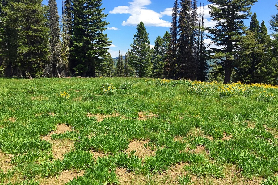
The meadow on the summit.
To access the peak by road use the Graham GS Road [(B)(2.1) on Page 153]. From Boise, take ID-21 for 55 miles to the turn for FS-384 at the [signed] Edna Creek Campground turn. Turn onto the excellent FS-384 gravel road and follow it to FS-312 in 4 miles. FS-312 is a good road but is not recommended for passenger vehicles. It is roughly 9 miles to the pass. However, if you get to the signed junction with FS-598 Jackson Peak Road, you have gone too far.
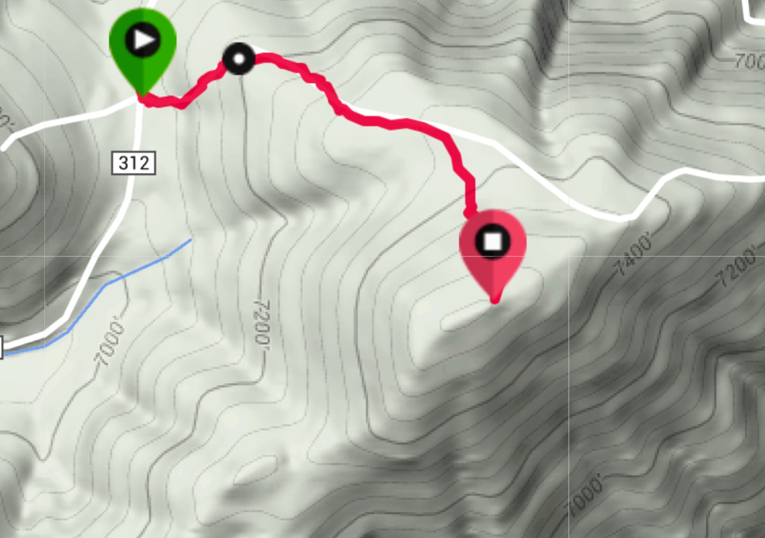
My GPS track. Please note that the skid road still appears on this map. This is an error. There is no road; just a few remnants to follow.
Additional Resources
Regions: Boise Mountains->WESTERN IDAHO
Mountain Range: Boise Mountains
Year Climbed: 2016
Longitude: -115.43579 Latitude: 44.04719