Elevation: 8,156 ft
Prominence: 336
This peak is not in the book.
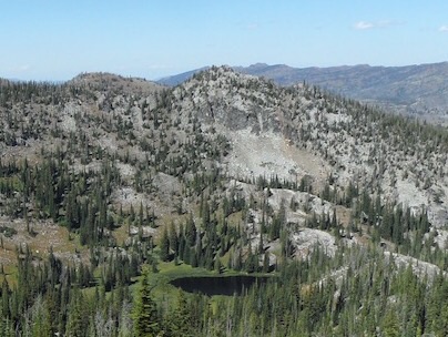
Grassy Twin Peak is an attractive Payette National Forest peak that sits directly south of Hard Peak and Grassy Mountain Lakes and north of Grass Mountains High Point and Frog Lake. The peak’s granite-encrusted North Face drops precipitously to Grassy Mountain Lakes. The peak is most easily accessed from the trail that crosses the Grassy Mountains Crest, between it and Hard Peak. USGS Hazard Lake
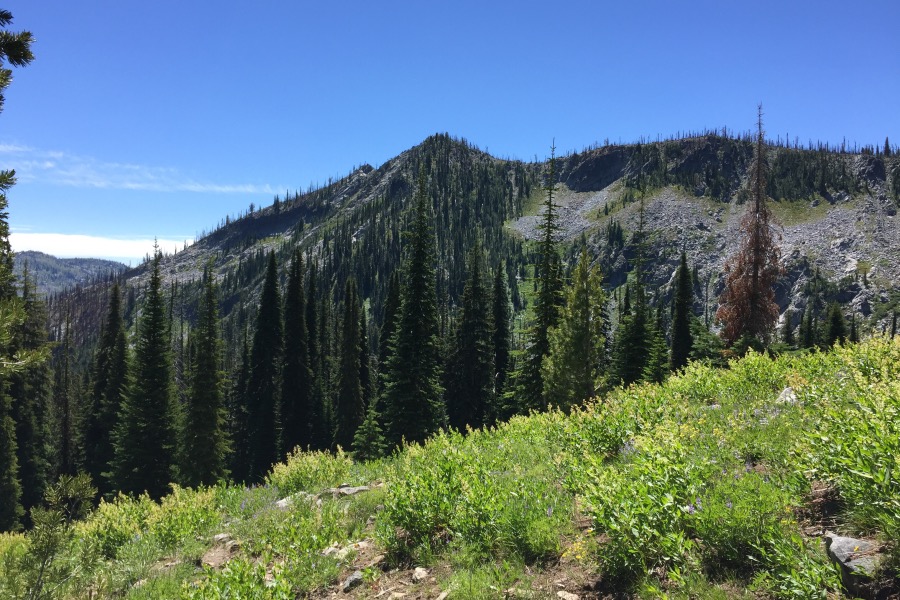
Grassy Twin Peak as viewed from the trail to the pass.
The USGS quad shows a trail leading from Hazard Lake Road to the crest and a second trail leading from the pass to Frog Lake. While the trail to the crest is in great shape, the trail to Frog Lake has not been maintained for years. For more information on road and trail access, see the Hard Peak page or [(B)(1)(b)] on Pages 134-135 of the book.
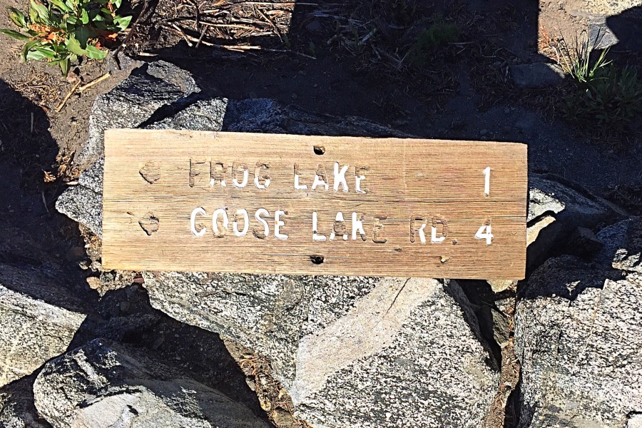
Proof that a trail once led to Frog Lake.
From the pass, follow the ridge south across broken granite slabs and a scattering of trees toward the peak’s West Ridge. You may find remnants of the Frog Lake trail along the way. As you approach the West Ridge, you can veer left/southeast up a forested slope to the summit ridge. Dodging obstacles, follow the summit ridge to the top.
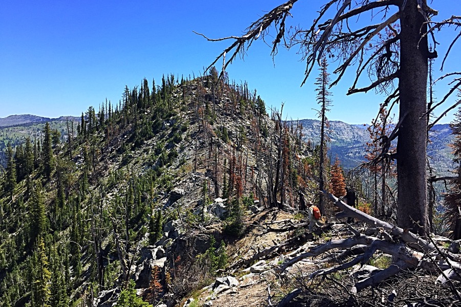
Traversing the summit ridge involves a bit of up and down and moving around granite obstacles.
My group descended the peak’s East Ridge and eventually ended up at Upper Grassy Mountain Lake. The route we followed had a few Class 3 spots, but these were easily covered by my friend’s dog.
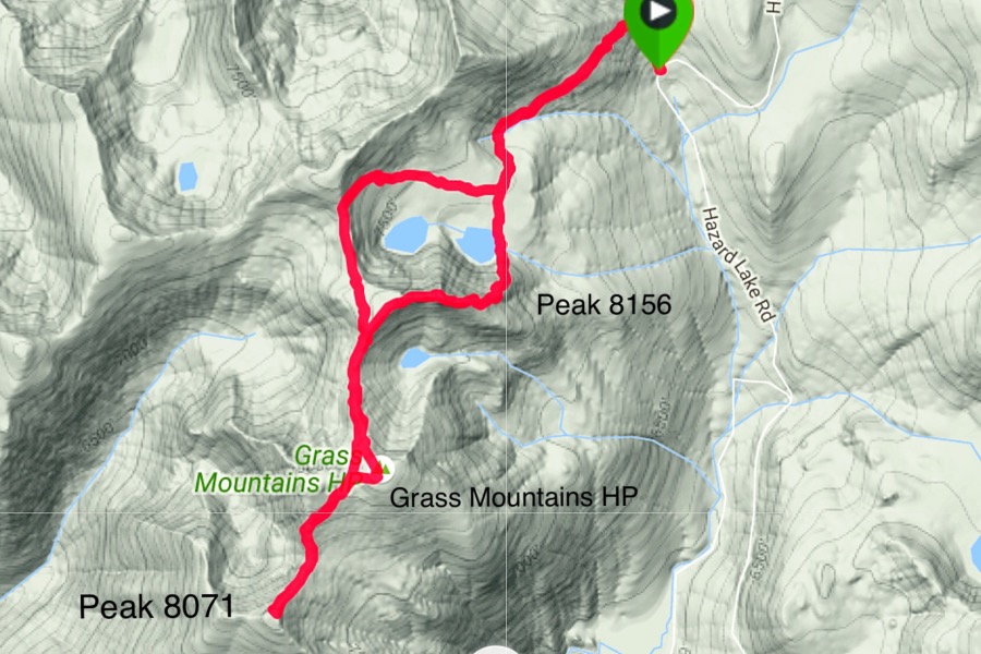
My GPS track for a 3-peak day.
This peak is one of 5 peaks that can be accessed from the trail. The other 4 are Serene Peak, Hard Peak, the Grass Mountain High Point (Peak 8180) and Peak 8071. Use the link below for John Platt’s trip report for additional information. Class 2+.
Grassy Twin Peak as viewed from the south. John Platt Photo
Additional Resources
Mountain Range: Western Salmon River Mountains
Year Climbed: 2016
Longitude: -116.19669 Latitude: 45.16359