Elevation: 8,525 ft
Prominence: 425
This peak is not in the book.
Peak 8525 is the westernmost summit on Diamond Ridge. This ridge runs from Peak 8525 northeast to a peak identified by the USGS as Diamond Rock. Another ridge runs from Peak 8525 southeast to Storm Peak. Due to its central location, the views from Peak 8525 encompass a large area of Idaho mountains (including many Lick Creek Subrange peaks, the Seven Devils and Clearwater Mountain peaks) as well as Oregon’s Wallowa Mountains. Climb Peak 8525 from the pass between it and Peak 8386 (Diadem Peak). This is a short Class 3 scramble around and over numerous granite boulders. USGS Victor Peak
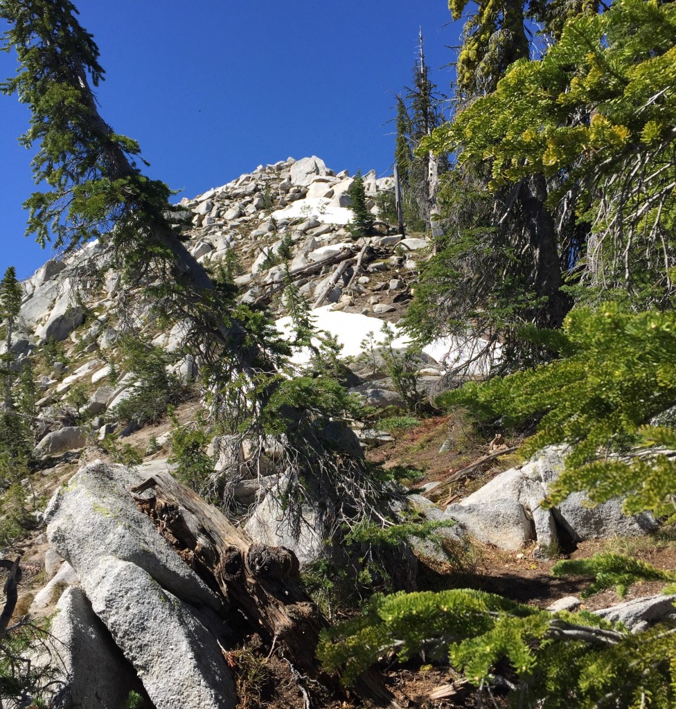
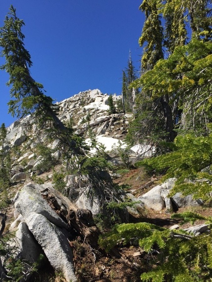
The East Ridge of Peak 8525.
I climbed this peak as part of a ridge traverse with John Platt in 2015. For additional details, see my Diamond Ridge Traverse page and John’s trip report. The ridge is located northeast of upper Payette Lake on the East Side of [paved] Warren Wagon Road which is leaves McCall on the West Side of Payette Lake. The best access currently is to follow Warren Wagon Road north for 21.1 miles and then turn right/east onto FS-431 and follow this decent dirt road to its end.
A fair trail leaves the East End of the parking lot and climbs roughly 750 feet in one mile to the base of the ridge at Deep Lake. You can hike cross-country to all 4 of the ridge’s peaks from the trailhead. Be forewarned that this area was heavily burned and, in places, cross-country travel requires crossing acres of downed trees. The Victor Creek Trail traverses this country and crosses the ridge between Peak 8525 and Peak 8386. As of 2014, the trail was blocked by numerous downed trees and I do not recommend it.
Additional Resources
Mountain Range: Western Salmon River Mountains
Year Climbed: 2015
Longitude: -115.93989 Latitude: 45.14609