Elevation: 8,554 ft
Prominence: 695
This peak is not in the book.
Peak 8554 is located roughly 1.5 miles due west of Trinity Mountain and 1.0 mile southwest of Peak 9037. USGS Trinity Mountain
North Ridge, Class 2
Peak 8554 can easily be climbed from the Trinity Mountain Road [(E)(2.2) on Page 155] from numerous points. I climbed the peak via its Northeast Ridge. This ridge is easily reached by a trail that leads from the road to the saddle between Peak 8554 and Peak 9037. This trail is shown on maps. From the road, it is 0.5 miles to the saddle where you will find a trail junction. From the junction, head west to the top of the ridge and then follow the ridge southwest to the summit.
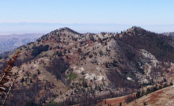
Peak 8554 as viewed from the slopes of Fiddlers Perch. The highest summit is the on the right. The lower summit is Point 8489.
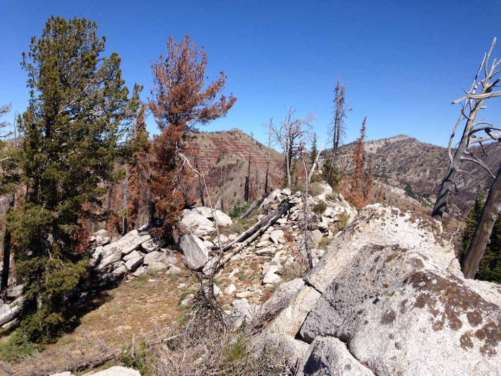
The summit is a mix of granite, burned trees, and living trees. This peak was burned in 2012. In the background, Peak 9037 is on the left and Fiddlers Perch is on the right.
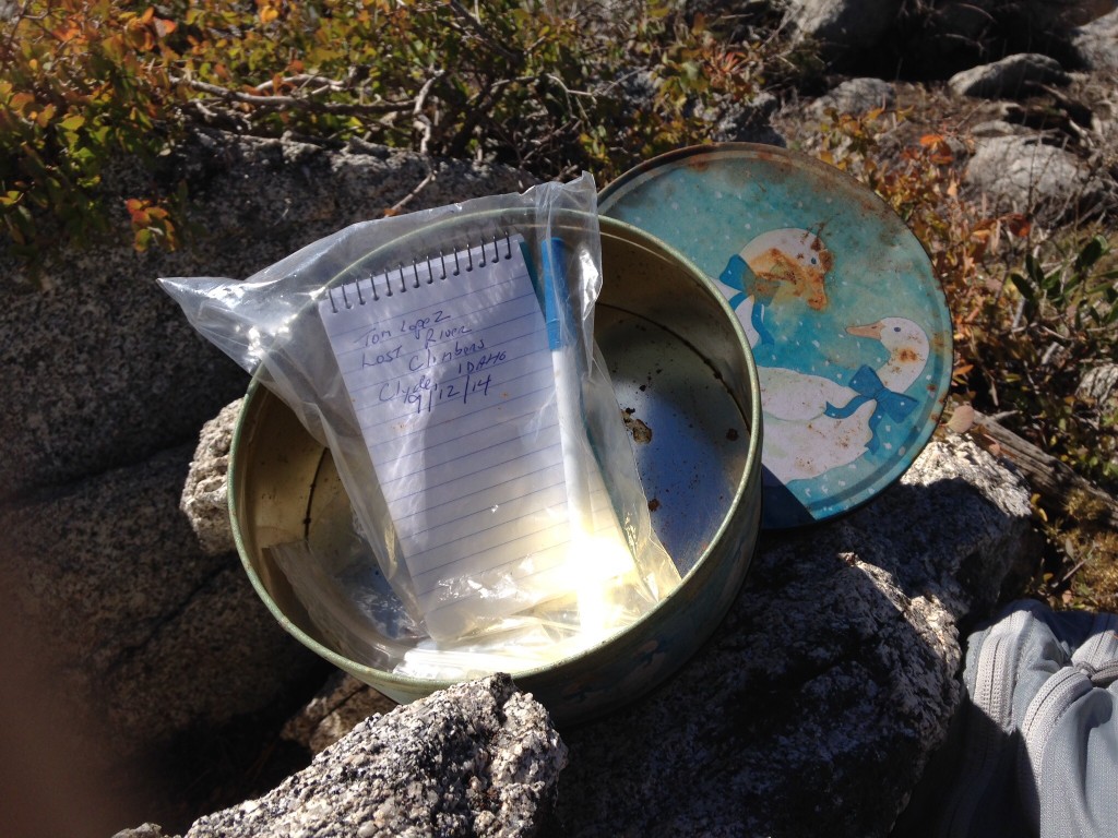
Peak 8554 has a colorful cookie-tin register.
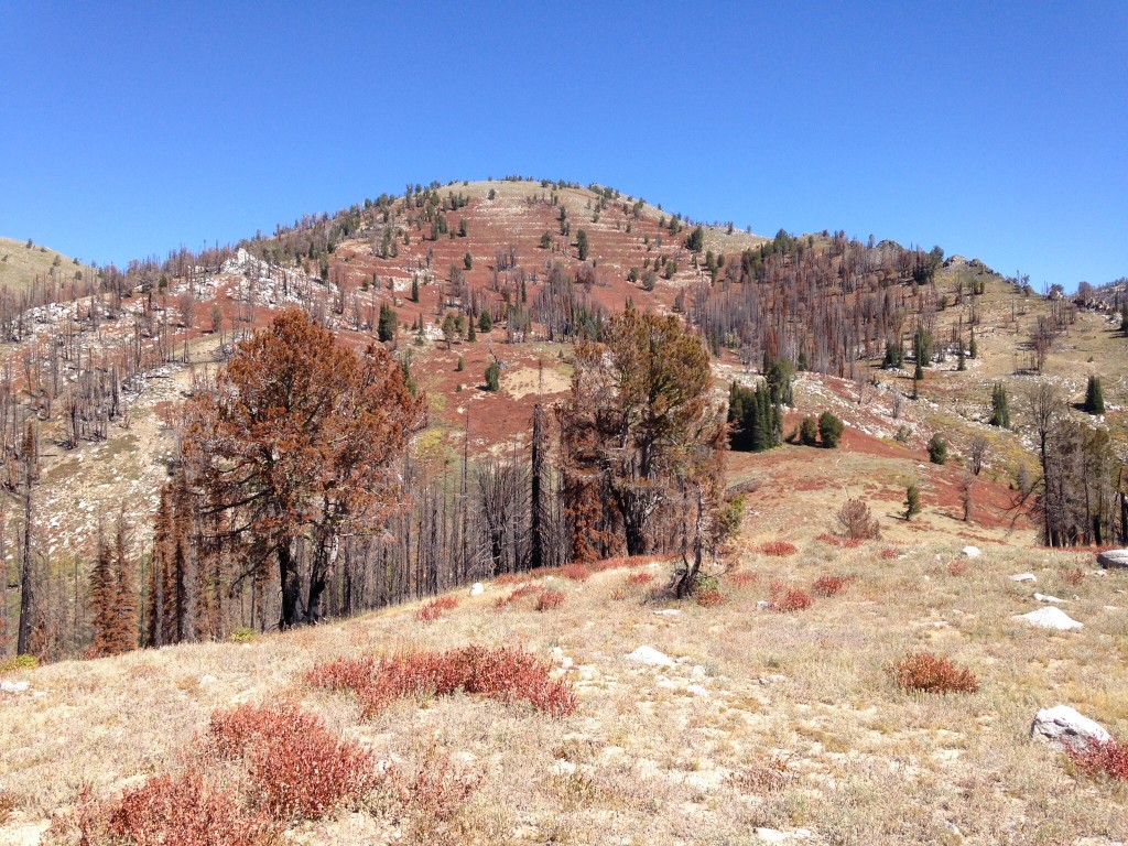
Peak 9037 as viewed from the Northeast Ridge of Peak 8554. The saddle between the two peaks is in the middle of the photo. The trailhead and the Trinity Mountain Road are off the photo to the right.
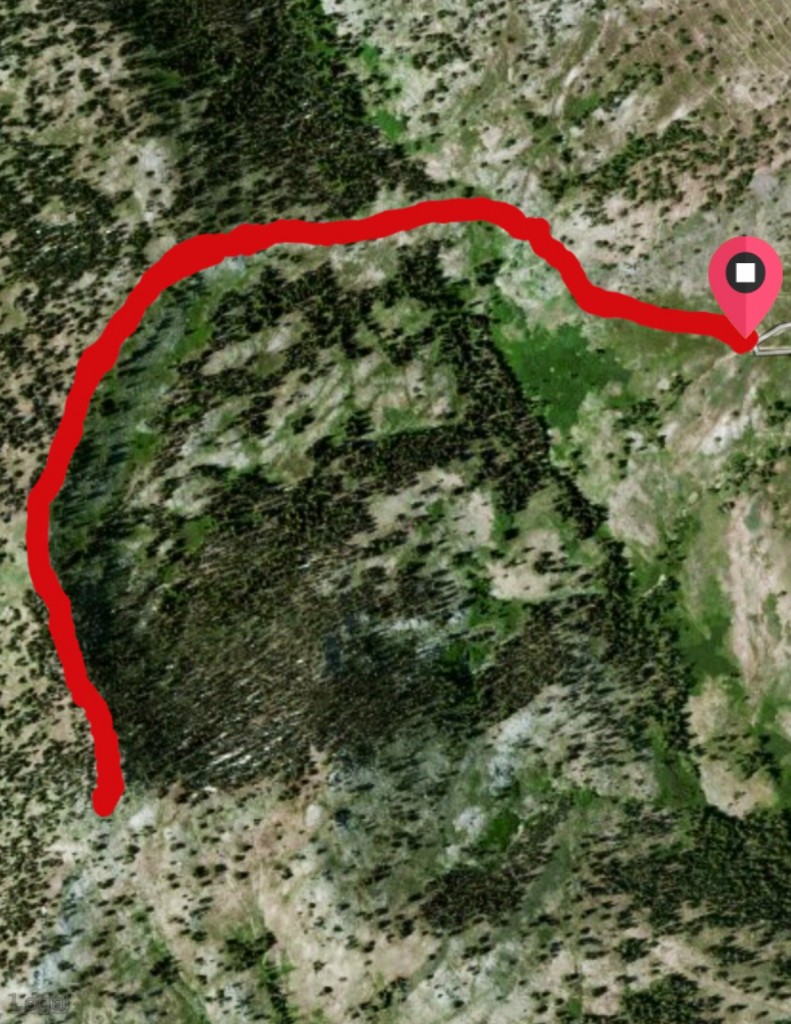
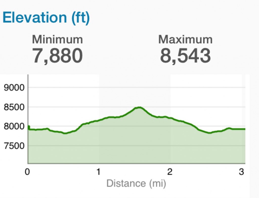
Satellite view of the 3.0-mile round trip route to the summit from the road.
Additional Resources
Regions: Boise Mountains->Trinity Mountains->WESTERN IDAHO
Mountain Range: Boise Mountains
Year Climbed: 2014