Elevation: 5,147 ft
Prominence: 767
This peak is not in the book. Also see the Owyhee Mountains Peaks List for all of the peaks in this range.
Pole Creek Top is the highest point of a broad flat top ridge that sits squarely on the Idaho/Oregon border west of ID-95. While not a jagged peak, this summit has a lot to offer in views and pleasant walking, not to mention decent access. To reach the peak, drive 16.1 miles south of the ID-55/US-95 junction (just east of Marsing, ID) and turn west onto the unsigned Sand Basin Road. Follow this road west to the base of the peak.
This is open country that burned in 2015 and spotting a route you like will not be a problem. Once on top, it is difficult to identify the high point. I recommend putting the coordinates in your GPS to ensure you touch the absolute highest spot. CBI Benchmark is a nearby peak. Check out its page for a better access map. USGS Rockville

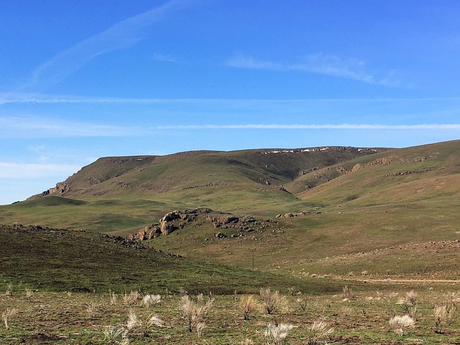
The wide-open country of Pole Creek Top as viewed from the northeast.
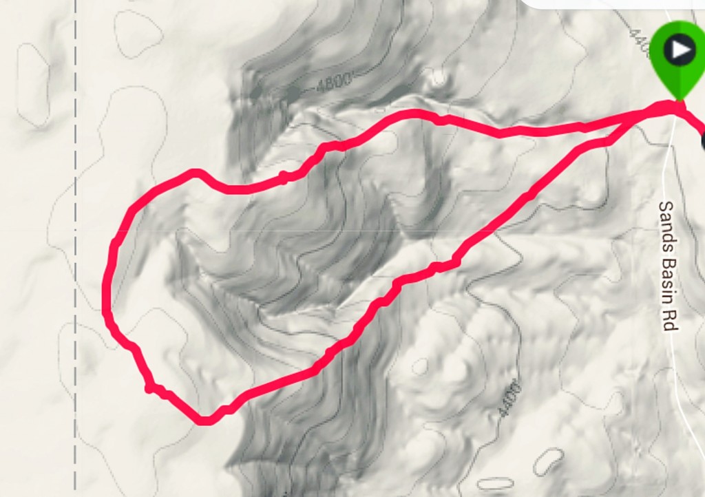
My GPS track
Additional Resources
Regions: Owyhee Mountains->SOUTHERN IDAHO
Mountain Range: Owyhee Mountains
Year Climbed: 2016
Longitude: -117.00269 Latitude: 43.36759