Elevation: 9,167 ft
Prominence: 3,642
This peak is not in the book.
Sedgwick Peak gets no respect in Idaho’s mountain universe. Despite its rugged nature and its expansive forest cover, it was overlooked by Teddy Roosevelt and Gifford Pinchot when they made numerous last-minute designations of National Forests under the President’s soon-to-expire authority. As a result, the portion of the Portneuf Range south of Lava Hot Springs, Idaho ended up as State of Idaho and private land. USGS Sedgwick Peak
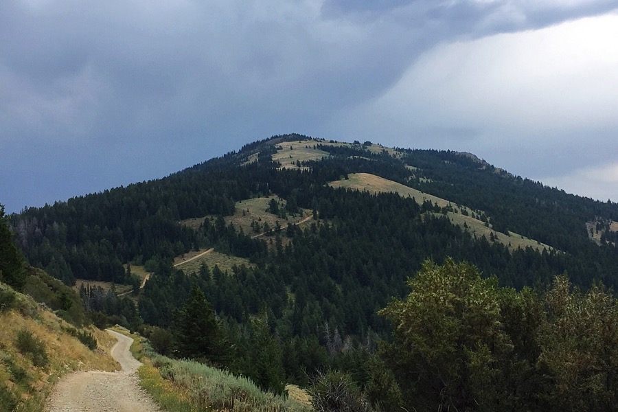
Sedgwick Peak as viewed from the west side of Bald Mountain.
Sedgwick Peak is a big towering peak with a massive summit and 3,642 feet of prominence. The southern end of the summit plateau is the home of half a dozen communication facilities. The views from the top are vast and speak volumes about the interesting topography south of Pocatello.
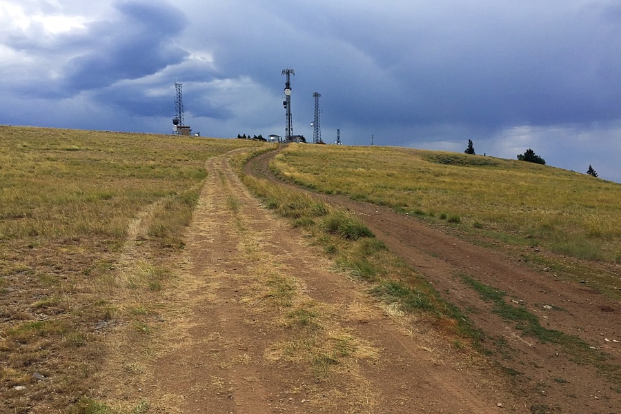
Nearing the top of the summit plateau.
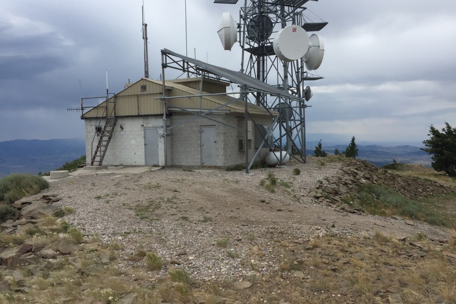
The summit of Sedgwick Peak.
Access and Route, Class 1
Because much of the area surrounding this peak is private property, access is an issue. The only access I know of starts in Lava Hot Springs. From Main Street and Center Streets in Lava Hot Springs, drive west on Main Street to 4th Avenue West and turn left/south. Follow this paved road to the Lava Hot Springs Cemetery, which will be on your left. Turn left on the dirt road just before the Cemetery. You are now on a legitimate 4WD road that leads to Sedgwick’s summit in 9.5 miles.
In roughly 2.0 miles, you will come to subdivision of sorts which includes houses, trailers and a good section of road. This road is named the Thunder Mountain Road. It is a private road that leads from the valley to the development. Clearly, the Thunder Mountain Road would be the best way to reach this spot but there is no public access at its base. Fortunately, there is an easement to get you to your next turn, the signed Wyoming Trail Road. Turn left and continue on this narrow, steep, winding road to the summit.
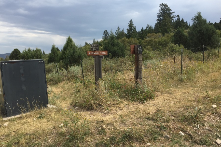
The Thunder Mountain Road/Wyoming Road junction.
As far as climbing Sedgwick Peak, due to access restrictions, the road is the route to follow. You can start at the cemetery and make it a massive 19.0-mile walk or mountain bike ride. If you don’t have a 4WD with very good tires, that is your only option. Otherwise, you can drive all the way or partway. I recommend driving to the saddle between Sedgwick Peak and Bald Mountain and hiking the last two miles. Two miles before Sedgwick’s summit, the road passes the west side of Baldy Peak at a point roughly 0.25 miles and 200 feet below the top.
Additional Resources
Regions: Portneuf Range->SOUTHERN IDAHO
Mountain Range: Portneuf Range
Year Climbed: 2016
Longitude: -111.92376 Latitude: 42.51534