Elevation: 11,276 ft
Prominence: 456
Climbing and access information for this peak is on Page 287 of the book.
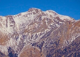
Sheephead Peak is located northwest of Invisible Mountain. It is one of the least-climbed Idaho 11ers. Nevertheless, it is an impressive peak and is well worth consideration. USGS Mackay
Access
Unless you decide to climb the peak from Invisible Mountain, access the peak from Swauger Gulch. The road up Swauger Gulch is accessed from the Lower Cedar Creek Road [(B)(13) on Page 293]. John Platt provided the following access update:
Access is straightforward. Follow roads shown on the map, although the satellite showed that the two roads approaching the trailhead actually connect, and we did that to do a loop. I’m not sure which side of the canyon was better or worse. A high-clearance vehicle with good tires is a must, but 4WD is not necessary.
Sheephead Peak as viewed from the Sheephead/Invisible saddle. John Platt Photo
Swauger Gulch Route, Class 2
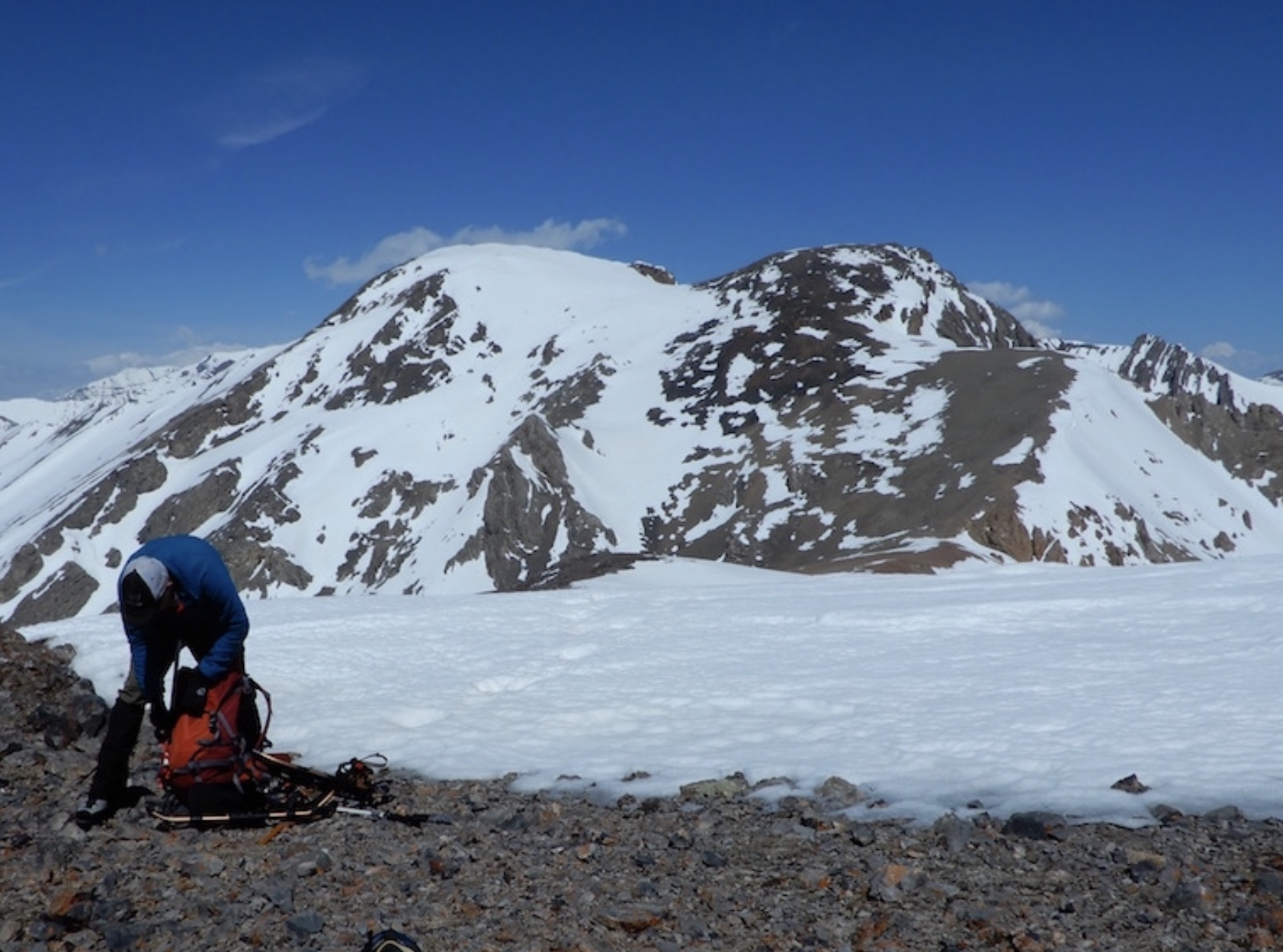
Rick Baugher climbed the peak from the via Swauger Canyon in Big Lost River Valley starting at 6,900 feet. He hiked up the canyon to the ridge crest at 10,700 feet. From the crest, he scrambled northwest to the summit. Use the link below to read Rick’s trip report. John Platt, John Fadgen and Michael Pelton climbed the peak in April 2018 via Swauger Canyon and also traversed over to Invisible Mountain. John’s trip report is linked below. John Platt provided the following commentary:
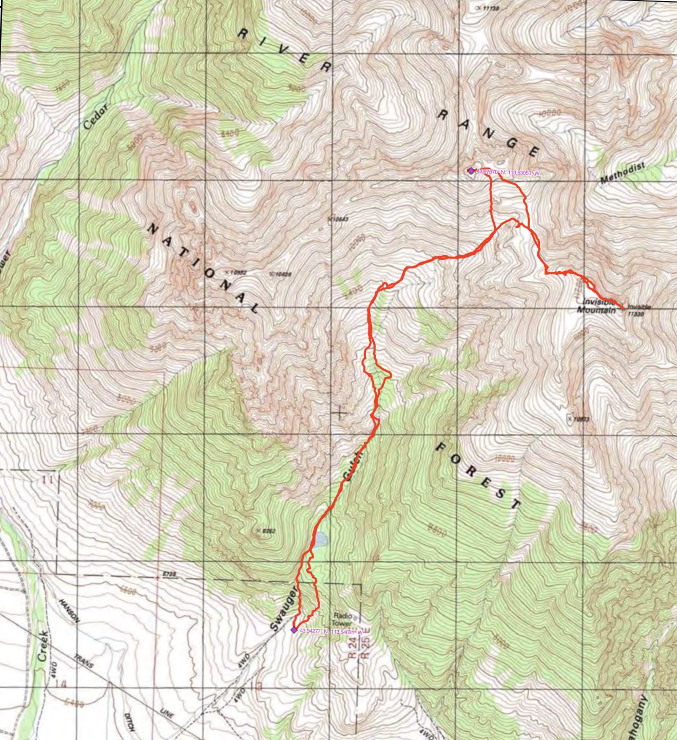
John Platt’s GPS track. His route covered 7.9 miles with 5,232 feet of elevation gain.
Sheephead/Invisible Traverse, Class 2
George Reinier, Johnny Roache, and Pat McGrane traversed to this peak from Invisible Mountain. Check out this link for Pat’s trip report and a few photos. John Platt and John Fadgen also made this traverse in April 2018 and reported it as a straightforward ridge walk.
Additional Resources
Regions: EASTERN IDAHO->Lost River Range
Mountain Range: Lost River Range
Longitude: -113.53049 Latitude: 43.97569