Elevation: 4,775 ft
Prominence: 430
This peak is not in the book. Livingston Douglas provides updated access and route information as well as new photos. Updated January 2023
Sid Butte is located 25 miles east-southeast of Shoshone, Idaho and south of ID-24. While not overly steep, the butte is still well-defined. Its summit is large, broad, and covered with flat grass. The high point is on its south side on a rock knoll. There is a cinder pit on the north side of the summit. USGS Kimama Butte
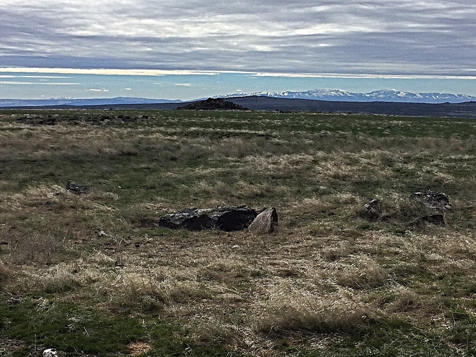
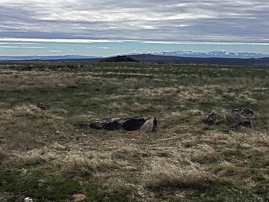
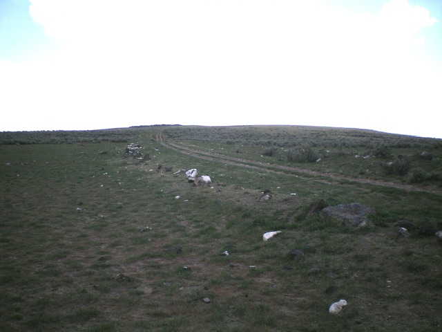
Looking across the summit area to the rocky knoll high point
Livingston Douglas Updates
Access
Sid Butte Road (unsigned) is located along ID-24 east of US-93 about 14.5 miles east of Dietrich and 26.1 miles west of Minidoka. From ID-24, drive south up Sid Butte Road (a good gravel road) for 2.6 miles to a road junction (4,612 feet on the USGS map). Park here or drive south up the [now narrow] 2-track road to the summit area.
North Face, Class 2
The Climb
From the road junction, hike south up the 2-track road (a narrow 4WD road) to the obvious rocky outcrop at the south end of the summit area. The north summit (at the top of the cinder pit) is 15-20 feet lower than the south summit. A short scramble up volcanic boulders puts you on top.
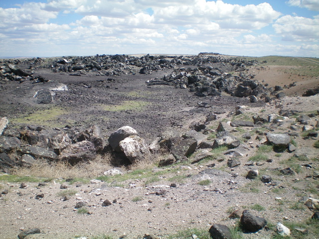
The cinder pit just below the summit plateau of Sid Butte. Livingston Douglas Photo
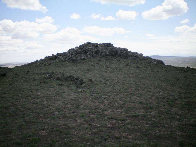
The rocky summit hump of Sid Butte as viewed from the north. Livingston Douglas Photo
Looking south at Sid Butte from the road junction (start of hike). Livingston Douglas Photo
Additional Resources
Regions: SNAKE RIVER PLAIN
Mountain Range: Snake River Plain
Year Climbed: 2017
Longitude: -113.95809 Latitude: 42.84801