Elevation: 7,339 ft
Prominence: 679
This peak is not in the book. See the Owyhee Mountains Peaks List for all of the peaks in this range. Updated May 2018
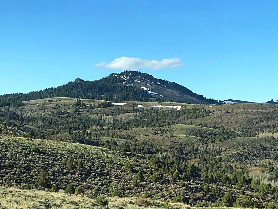
This peak is situated in the northwestern end of the Silver City Range north of Silver City. It is the 7th-highest peak in the Owyhee Mountains. Slacks Mountain sits on the main crest and serves as an anchor for a ridge line that runs north to Black Mountain and includes crusty Peak 6820. This broad ridge line is high and windswept with massive views. USGS Silver City
Slacks Mountain as viewed from the north.
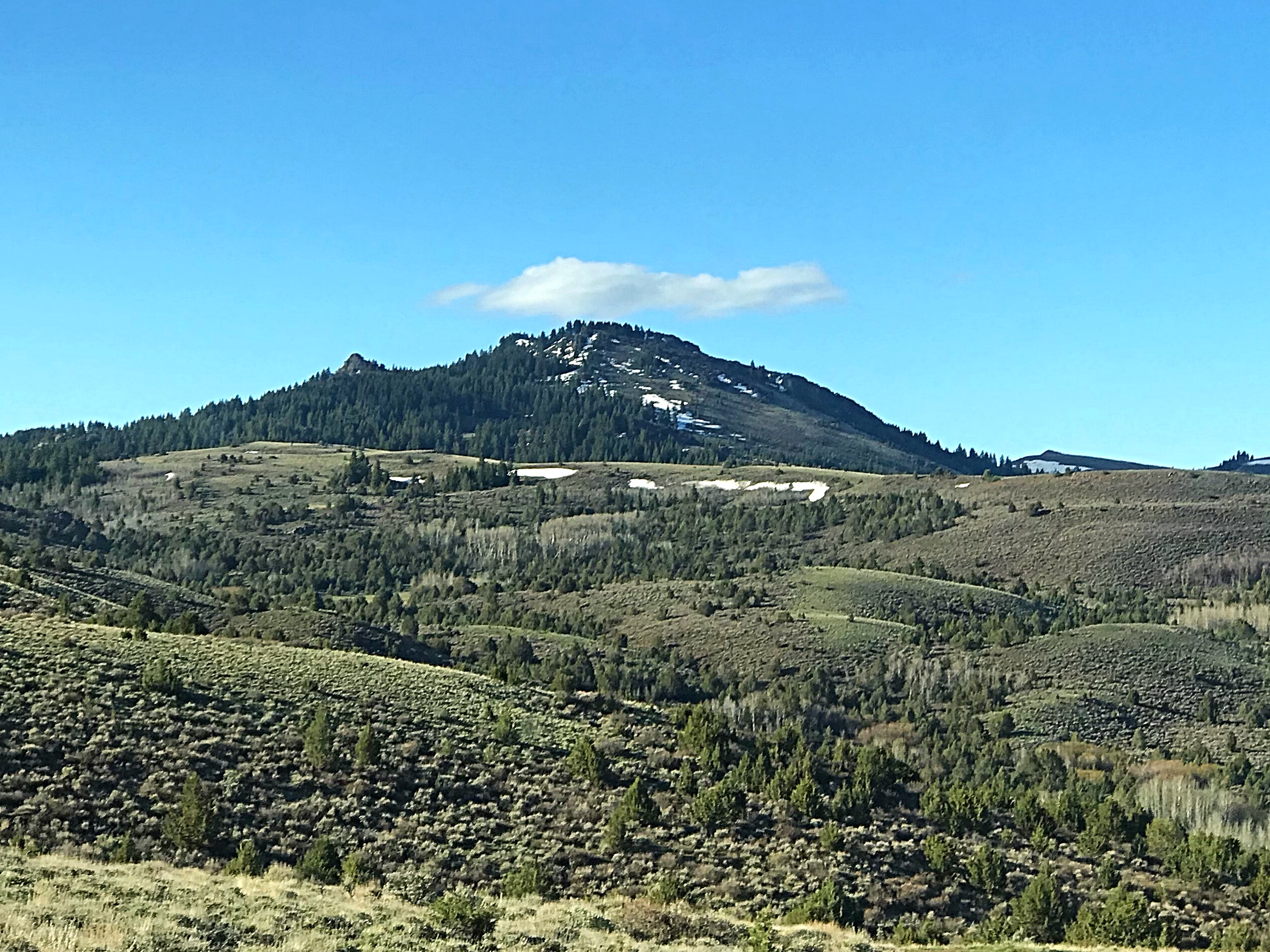
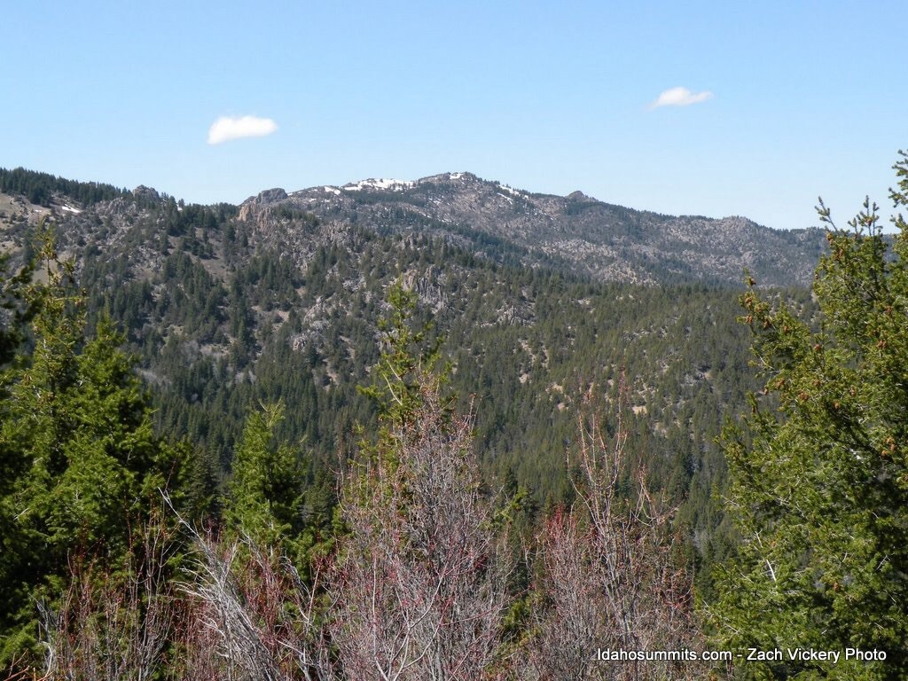
Slacks Mountain as viewed from Peak 7047.
Access
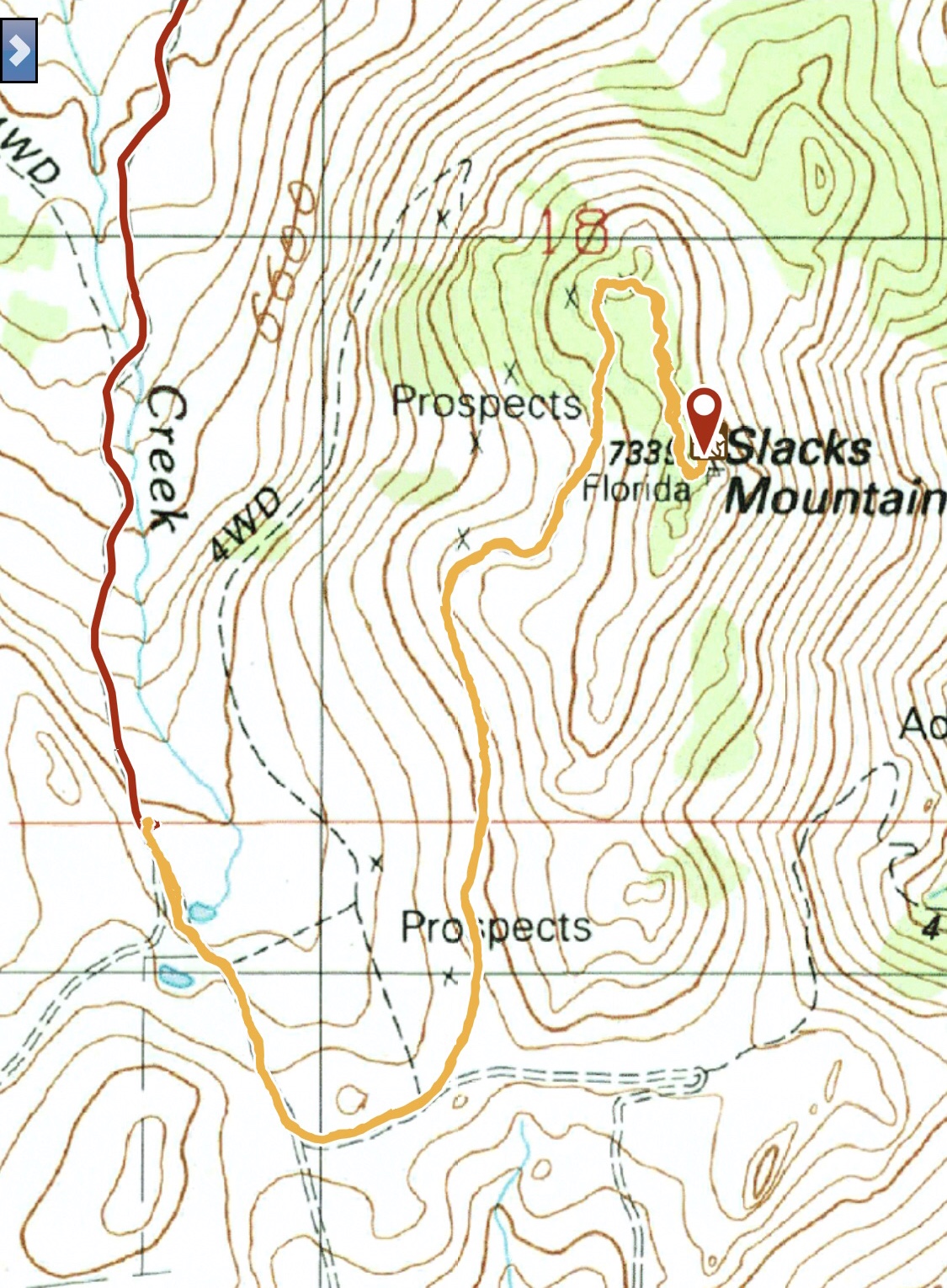
Silver City Road at New York Summit. The Silver City Road is covered in the book [(A)(2) on Page 346]. Take the road to New York Summit. From the pass, turn northwest onto a rugged 4WD dirt road. Follow this road generally along the ridge crest northwest past Peak 7047. On the west side of Peak 7047, the road forks. Keep right and follow it to the base of Slacks Mountain. The road makes a hard turn west and soon reaches a flat spot at roughly 6,920 feet. Park where an obvious old mining road leads north toward the summit. This route is shown on the USGS quad. A 4WD vehicle is recommended if not required.
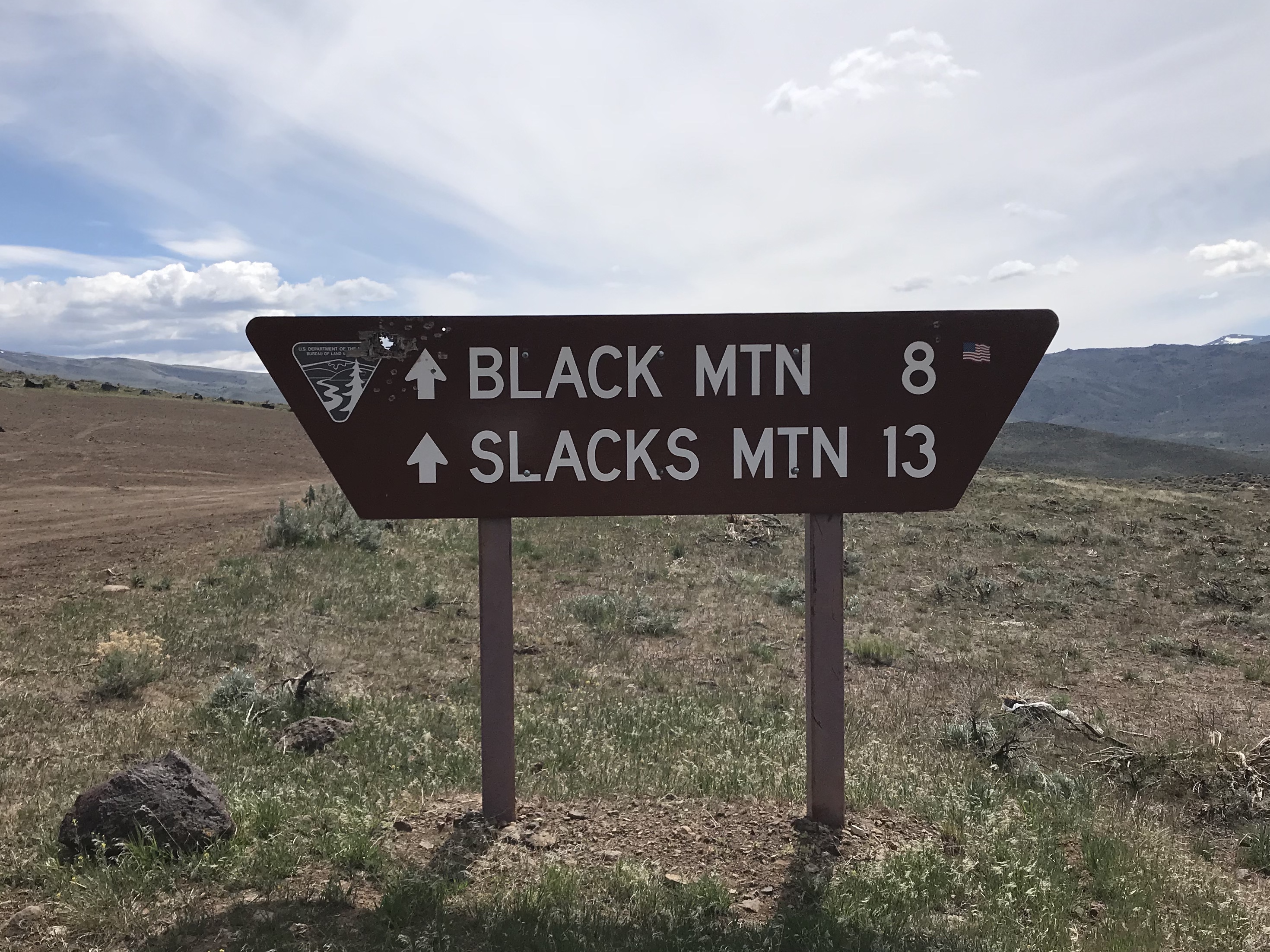 Slacks Mountain Road. The Slacks Mountain Road leaves the Rabbit Creek Road east of Reynolds. This road is steep, winding and rough. It opens up earlier in the Spring than the Silver City Road. A 4WD vehicle is highly recommended and good all terrain tires are a necessity. The road leaves the Rabbit Creek Road 9.7 miles from Murphy. Its junction is well signed. It is 13.0 miles to base of Slacks Mountain. Also see the Reynolds Area Access Routes Page.
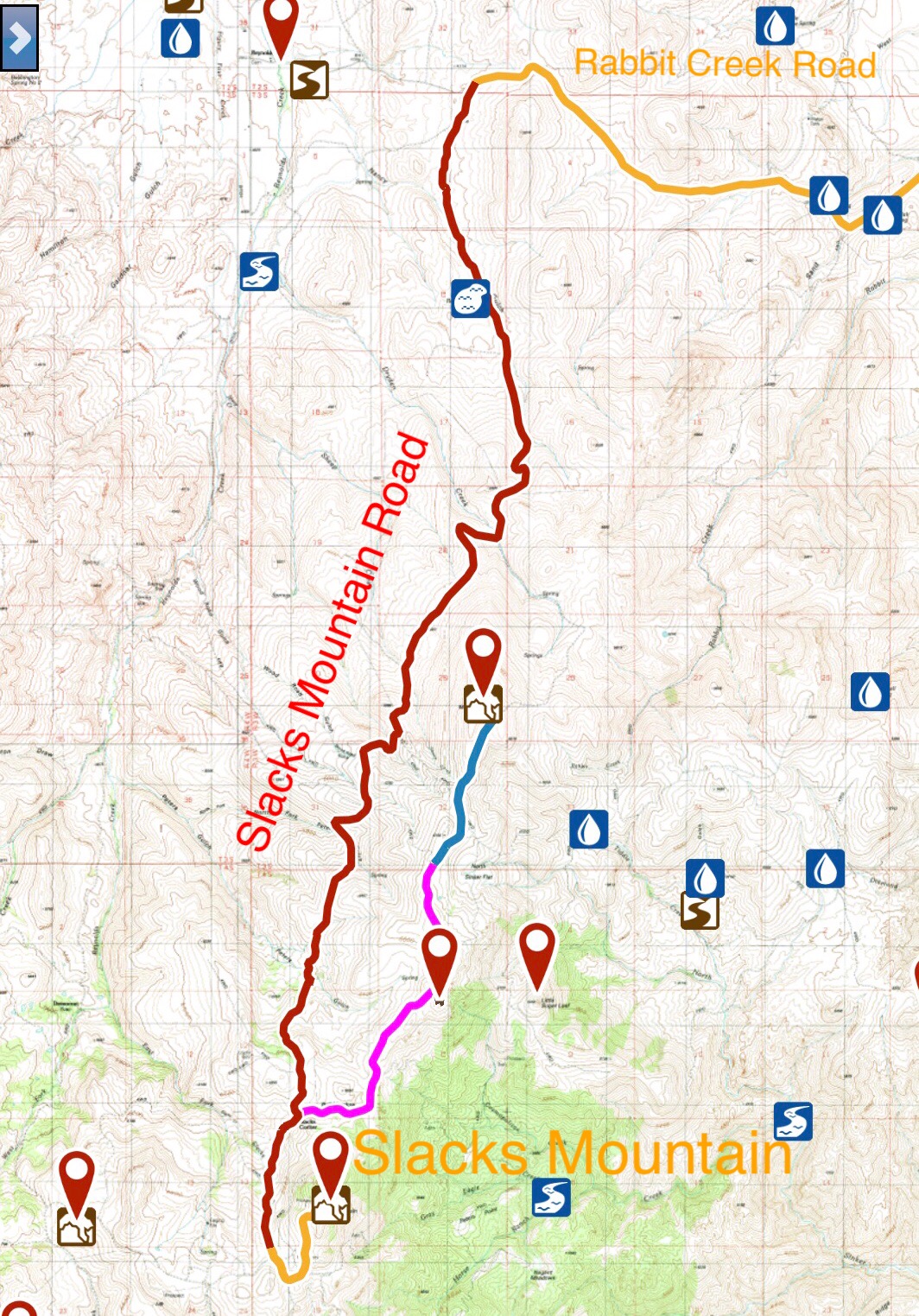
The Slacks Mountain Road is designated S300 by the BLM. It receives a lot of use. Not surprisingly, ATVs out number 4WDs due to the road’s rugged nature.
Slacks Mining Road/North Ridge, Class 2+
The mining road that climbs up to the peak’s summit ridge deteriorates as it climbs. It is still passable in its upper reaches to ATVs but not to 4WDs. It makes a great hiking trail. Follow the road to the summit ridge. There is a great view to the north. Turn south and make your way to the summit working around and under the intervening brush to the high point. Climb the last 100 feet on the west side of the summit block where you may want to use your hands for balance.
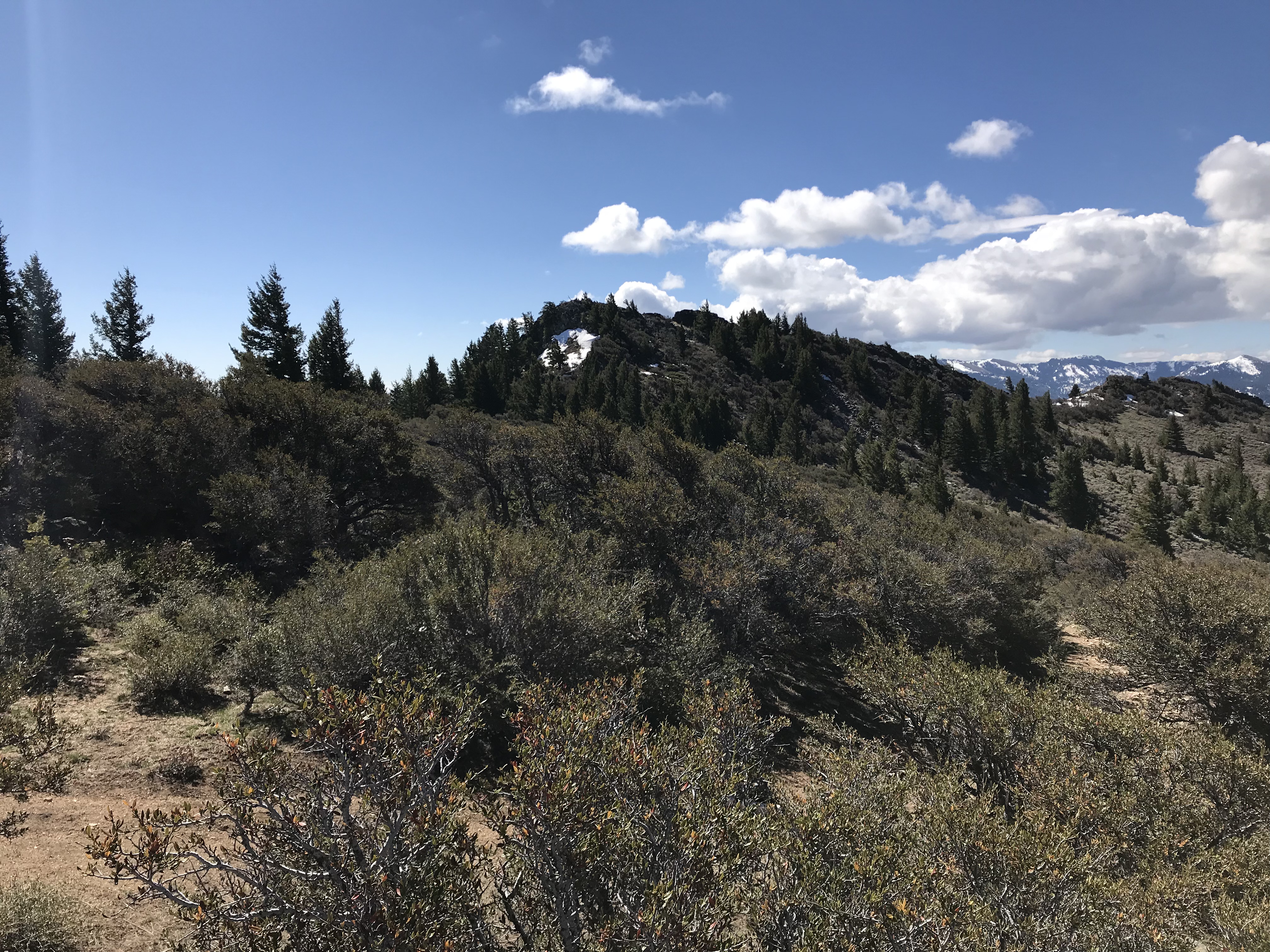
The summit of Slacks Mountain is just above the patch of snow in this photo as viewed from the end of the mining road.
On May 2, 2018 we had to park a half mile below the ridge crest because the snow had not yet melted. We reached the summit after hiking 1.5 miles with 750 feet of elevation gain.
My May 2018 GPS track.
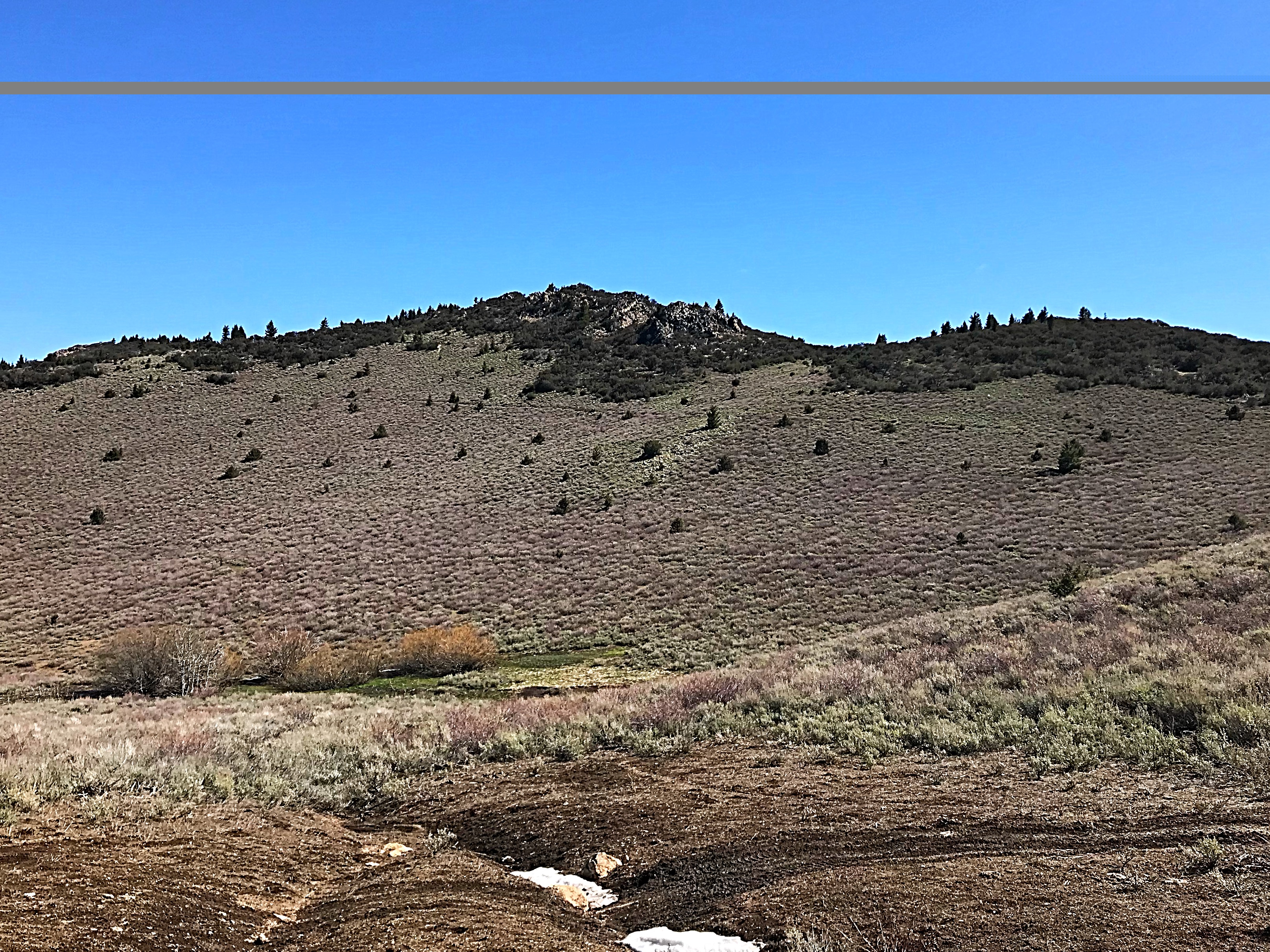
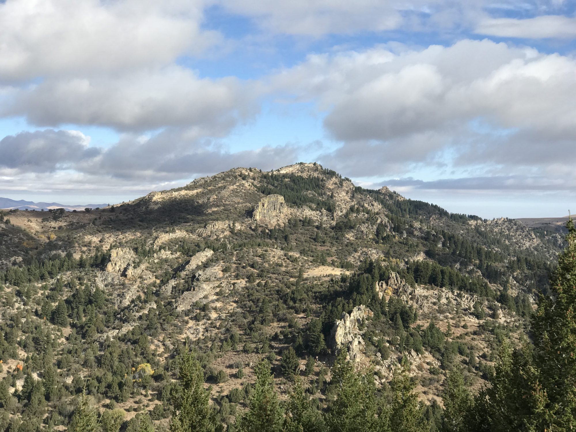
The West Face of Slacks Mountain. The mining road cuts up the face from mid-right to upper left. The summit is not visible in this photo.
Slacks Mountain. Dan Robbins Photo
Additional Resources
Regions: Owyhee Mountains->SOUTHERN IDAHO
Mountain Range: Owyhee Mountains
Year Climbed: 2018
Longitude: -116.73651 Latitude: 43.07266