Elevation: 10,651 ft
Prominence: 1,446
Climbing and access information for this peak is on Page 200 of the book.
Snowyside Peak is located along the popular Alice/Toxaway hiking loop. The peak is most often climbed beginning from a point just west of the pass that separates the two lake drainages. A lot of hikers pass by its slopes and more than a few take the time to climb this beauty. Visit the Robert Limbert page which has a copy of Limbert’s 1927 article Crown of the Sawtooth, an enjoyable and historic read. USGS Snowyside Peak
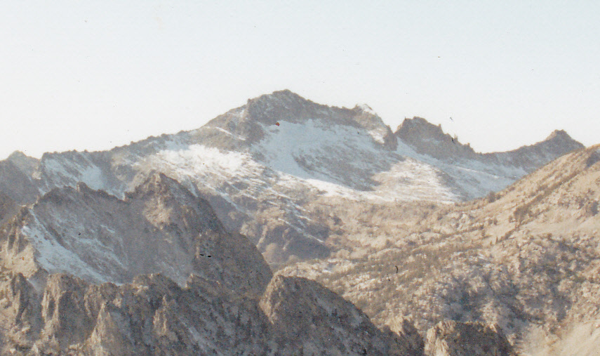
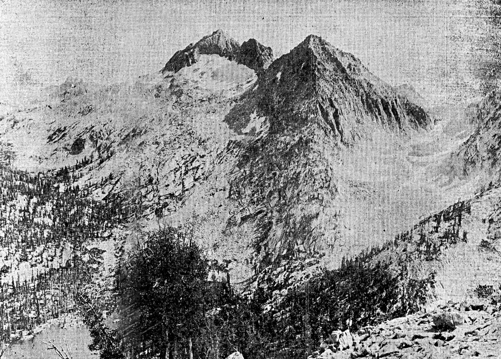
Snowyside Peak as viewed from El Capitan.
Snowyside Peak as viewed from Perfect Peak.
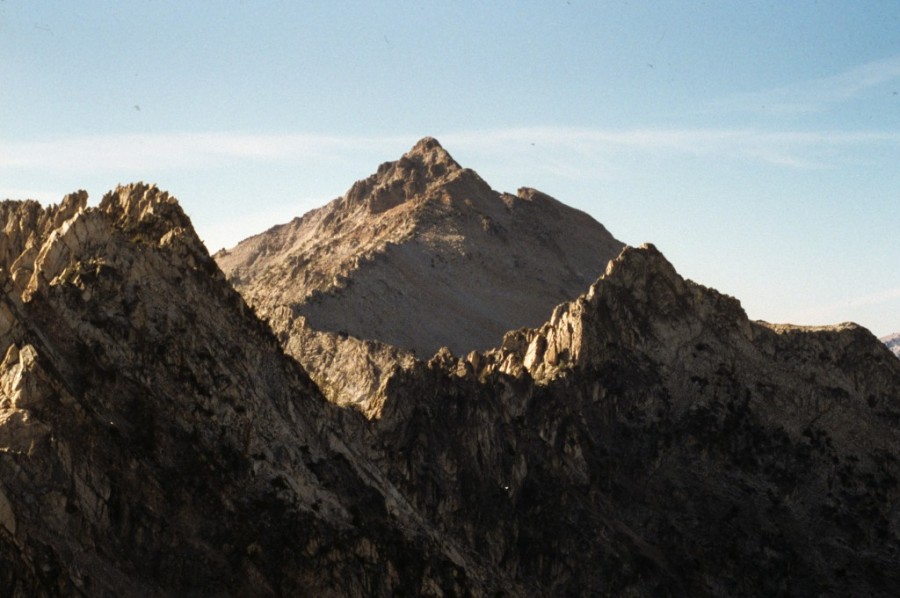
Snowyside Peak as viewed from Imogene Peak.
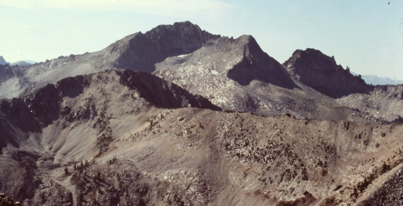
Snowyside Peak as viewed from Parks Peak.
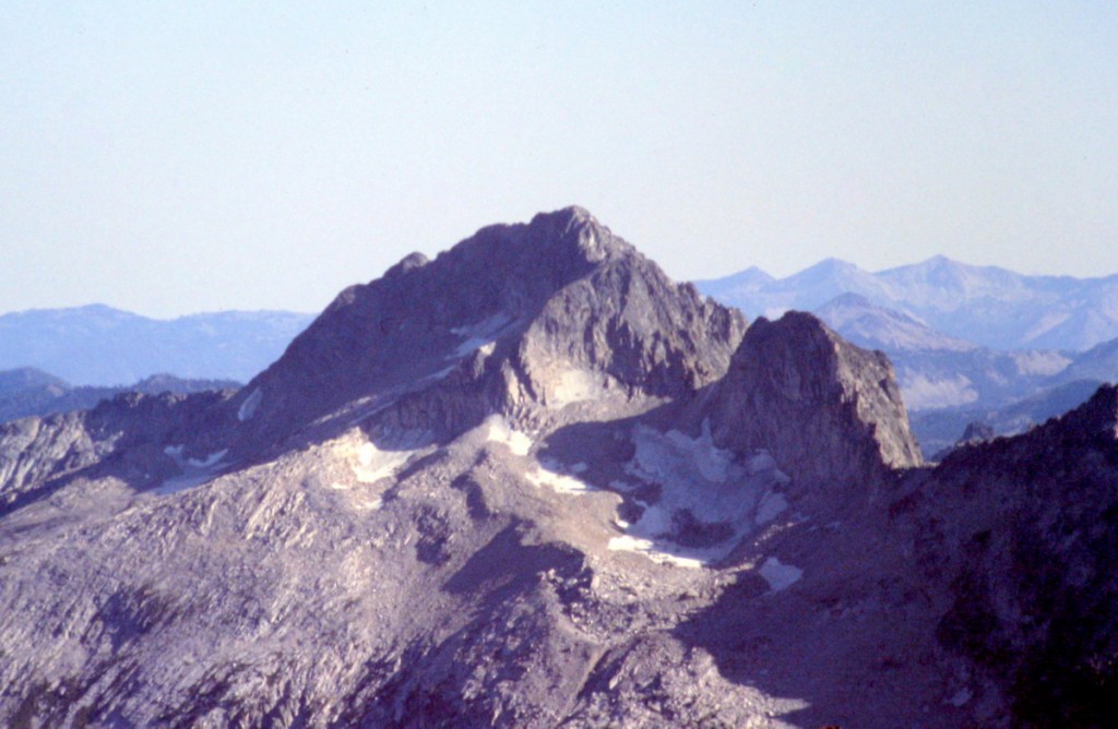
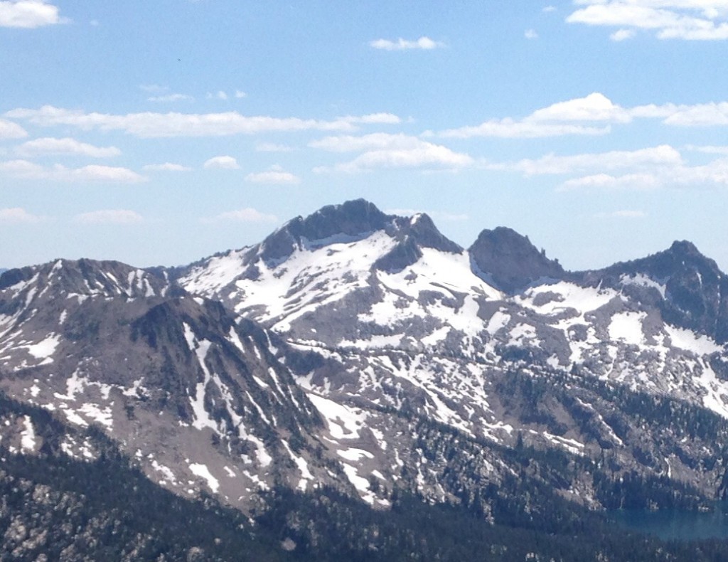
Snowyside Peak as viewed from Mount Cramer.
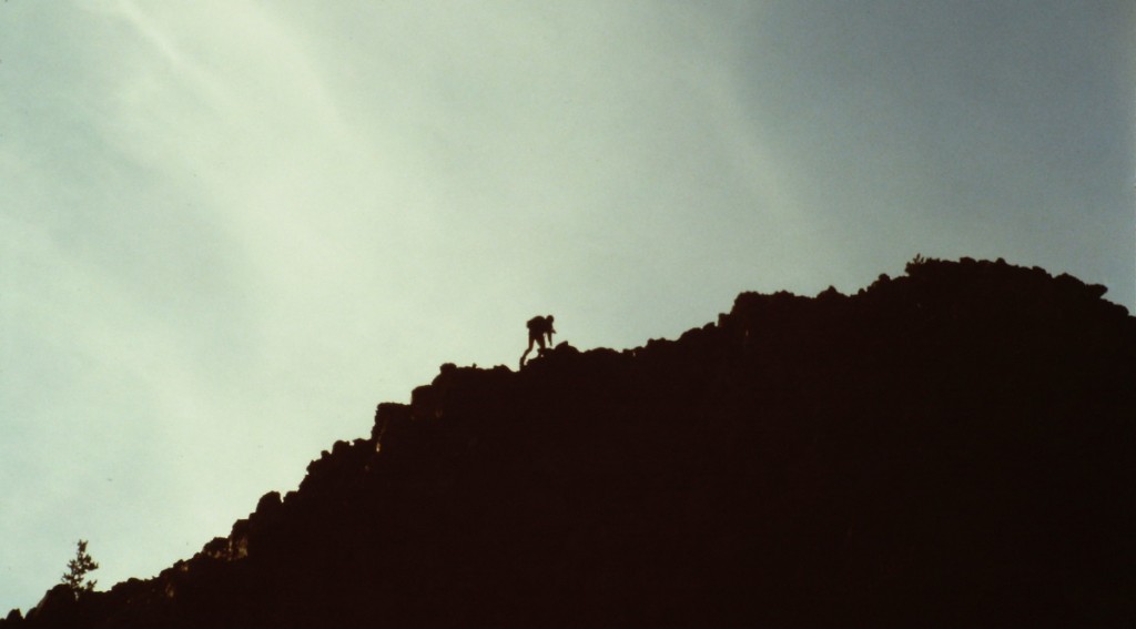
Approaching the summit.
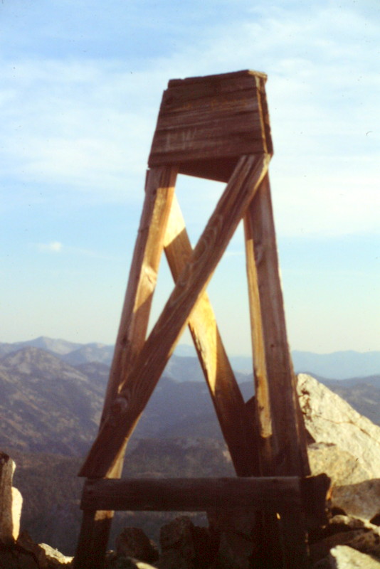
The remnants of the survey on the summit in 1987.
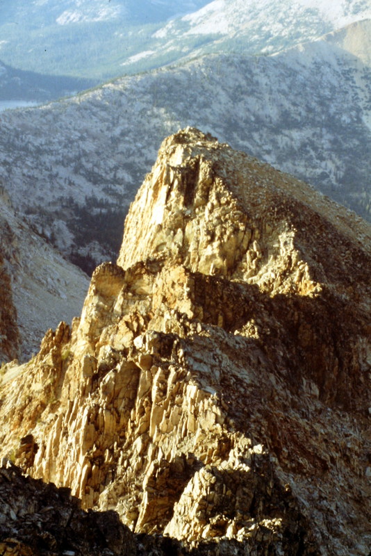
Looking down the peak’s seldom-climbed North Ridge from the summit.
Robert Limbert’s 1927 photo of Snowyside Peak as viewed from the north.
Additional Resources
Mountain Range: Sawtooth Range
Year Climbed: 1987
First Ascent Information:
- First Ascent Year: 1890
- Season: Summer
- Route: Unknown
- Party: W. Griswold and E. Perkins of the USGS.
Pingback: Idaho County Highpoints by Andy Martin - IDAHO: A Climbing Guide