Elevation: 7,321 ft
Prominence: 301
This peak is not in the book. Updated May 2018
South Bennett Mountain is located southwest of Bennett Mountain on land managed by the Bureau of Land Management. It is 120 feet lower than the North Summit. Posted privately owned land that is not accessible to the public lies between the two peaks. USGS Bennett Mountain
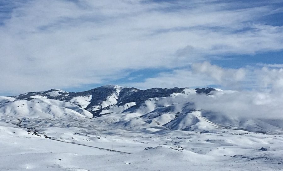
Bennett Mountain and South Bennett Mountain (right).
Access
South Bennett Mountain can potentially be accessed from the west over BLM land by leaving ID-20 on a two track road soon after passing the Tollgate Historical Site. See the map below.
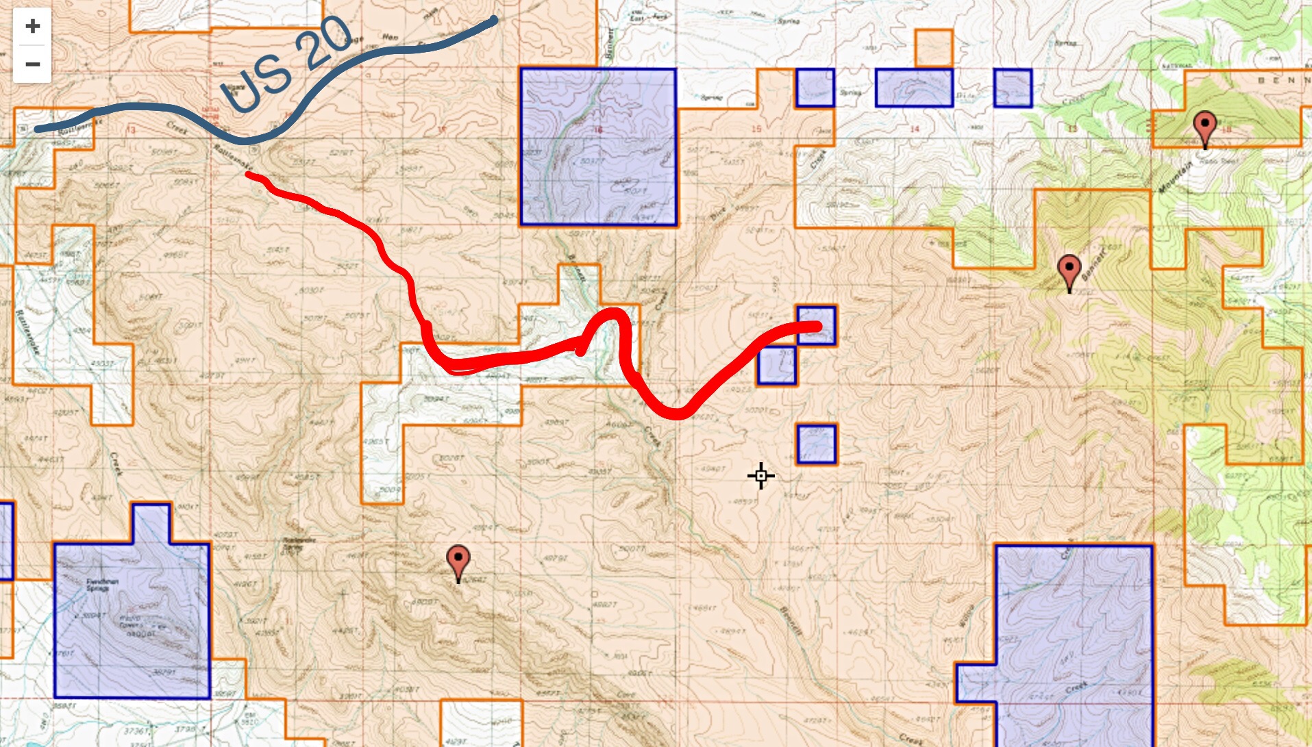
The only access information I have received for ascending this peak leaves US-20 just east of Tollgate and follows the red line shown on this map. This route crosses private property. I do not know if there is a public easement across the private land. Check with the Shoshone BLM office.
Additional Resources
Regions: Bennett Mountain Hills->WESTERN IDAHO
Mountain Range: Bennett Mountain Hills
Longitude: -115.45139 Latitude: 43.23569