Elevation: 6,740 ft
Prominence: 1,226
This peak is not in the book. This peak was formerly known as Squaw Butte. In 2022 the word “squaw” was removed from all geographic names in the United States. I have not found a translation for the name which is of Native American origin.
Access is now apparently closed to the public. In April 2017, there were no “Private Property-No Trespassing” signs or orange paint markings notifying you that the property is private and thus cutting off access. Margo Mandella reports that on April 23rd, 2021 that “The second gate at the public/private boundary (slightly higher than 6400 ft elevation at 43.260559, -116.887817) is now flagged in orange and fence posts next to the gate are also painted orange. Thus, sorry to report, there is no longer any public access to this 1k prominence peak.” Updated January 2023
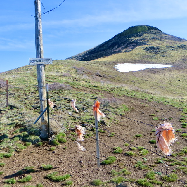
The end of the road? The gate flagged with orange paint. Steve Mandella Photo
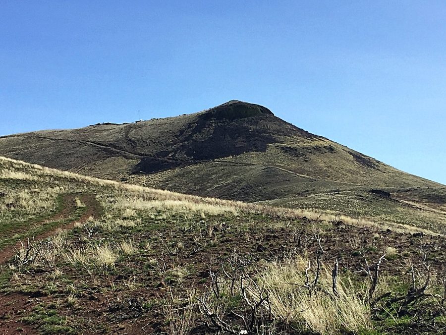
This peak is one of the Crown Jewels of the Owyhee Mountains. From its summit there are massive views of Idaho, Oregon, and Nevada! Unfortunately, as discussed above, the summit of this mountain is located on private property. In the past the public was allowed to access the peak. It is unknown if the landowner will allow public access at sometime in the future. Remember to respect private property. If the property is posted, keep out. If public access is allowed, treat the land with respect. USGS Piute Butte
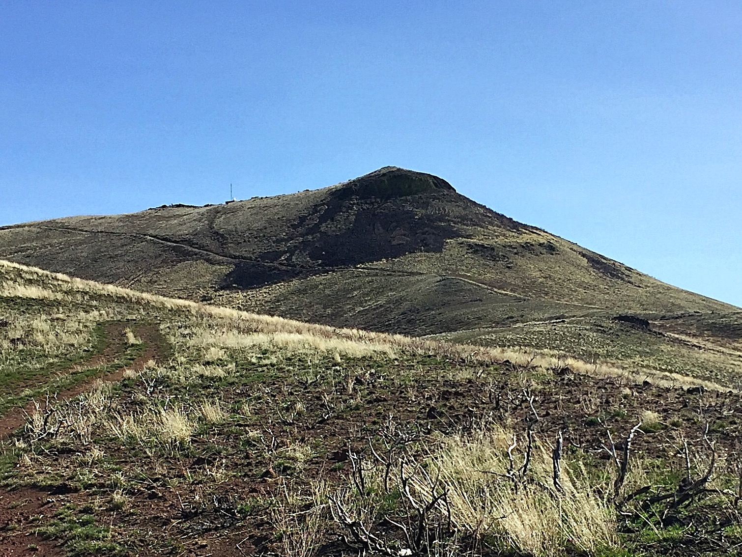
Squaw Butte as viewed from the west.
Access
The Climb (Class 1-2)
From the fork, a 4WD road leads upward and nearly to the summit. The road runs north to a gate in a fence line in about a mile. Pass through the gate and follow the road east up to a second gate in 0.8 miles. Then, the road turns northeast and continues upward, cutting across the peak’s West Face to another fence line in 0.4 miles. This fence line is clearly marked “Private Property–No Trespassing.” Stay on the south side of this fence and climb up to the summit ridge toward the visible solar panels. Turn south and follow the easy summit ridge to the high point.
In addition to the Owyhee Mountains, the summit view takes in the Boise Mountains and West Mountains in Idaho, as well as the Wallowas, Elkhorns, Steens and Pueblos in Oregon in addition to several Nevada mountain ranges. My GPS reported 2.4 miles with 1,434 feet of elevation gain.
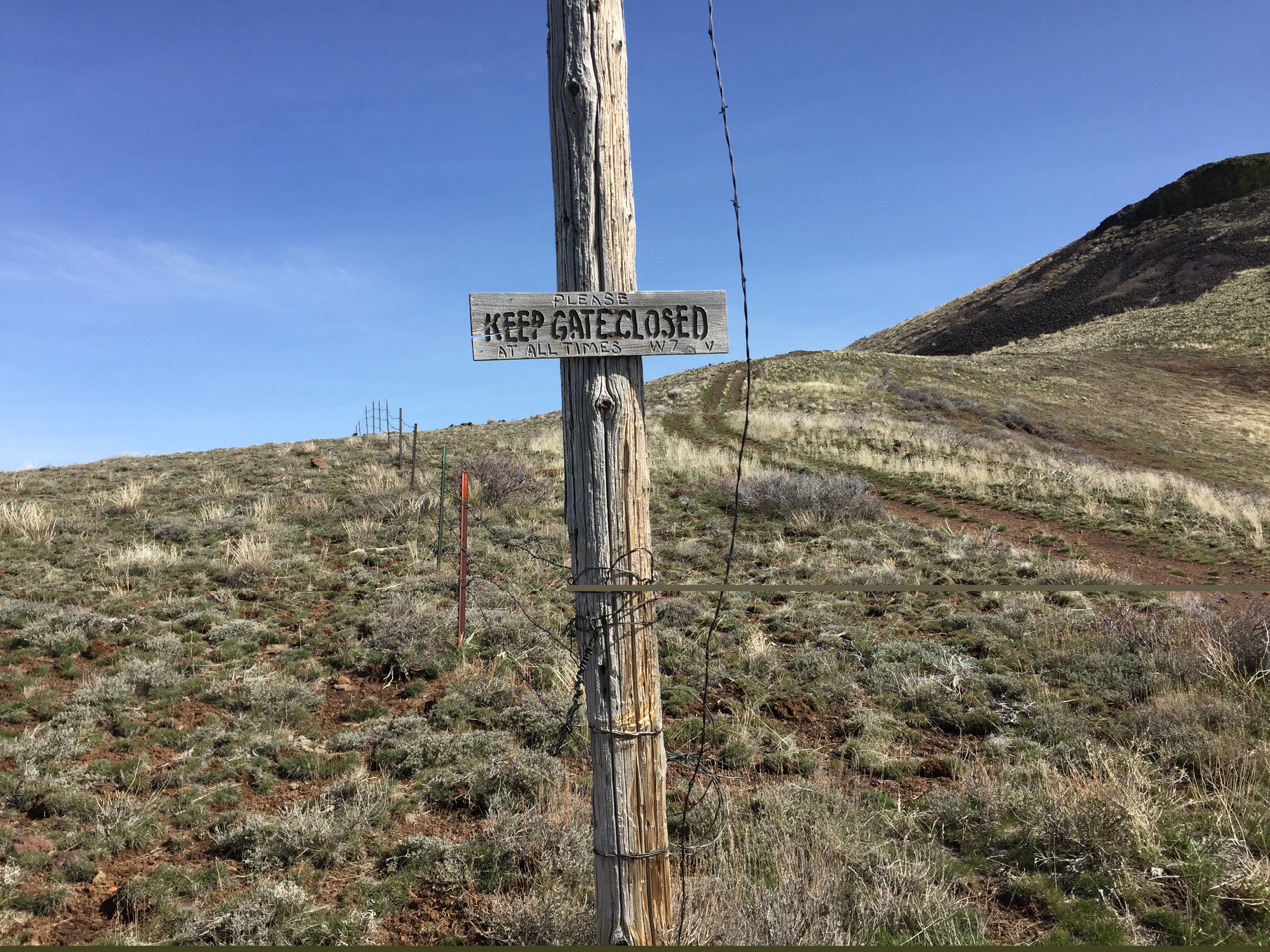
This sign is located on the second gate.
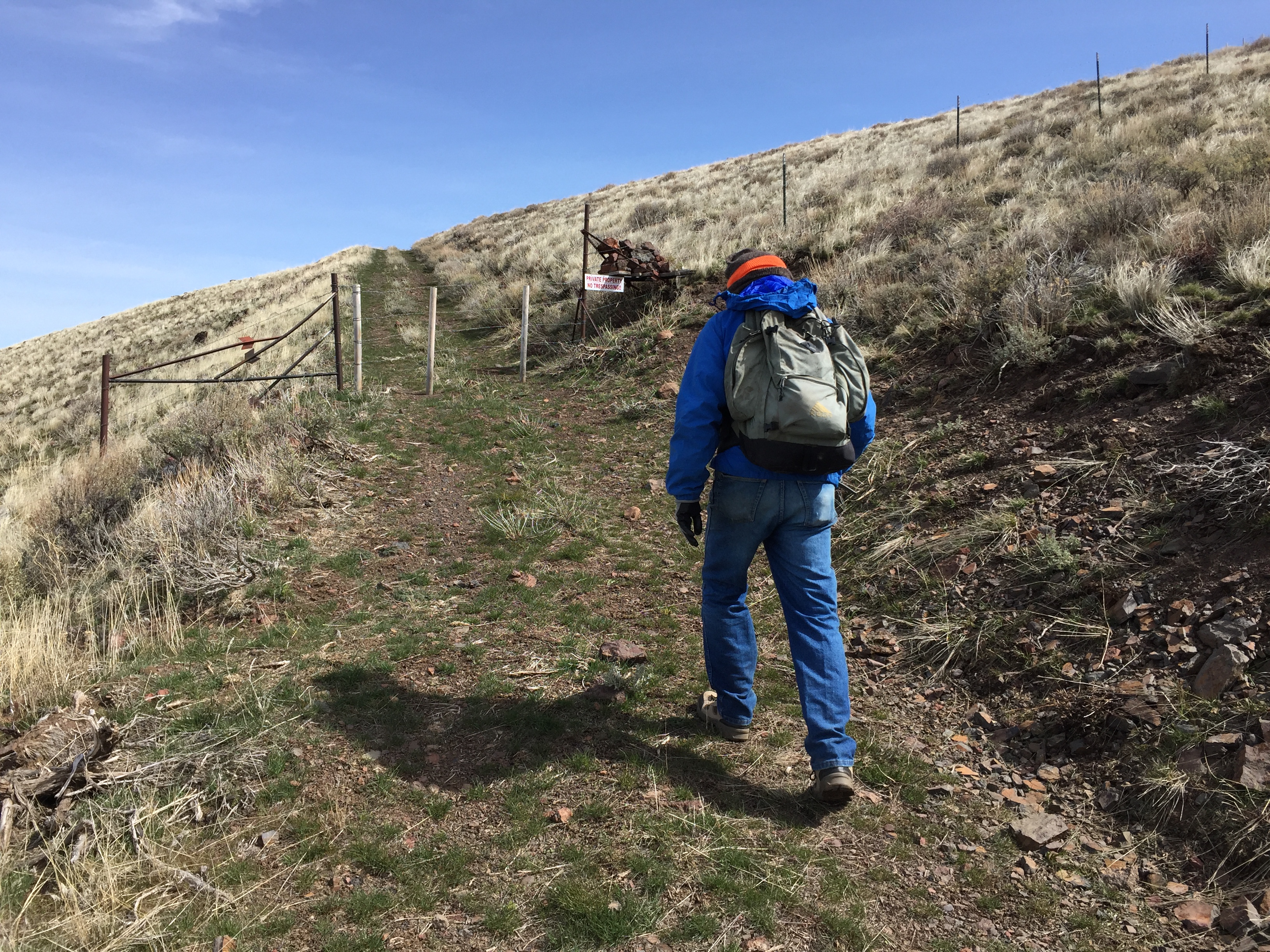
Approaching the third gate with its “No Trespassing” sign. Turn right before the fence and climb up to the summit ridge. It is 0.2 miles and 150 feet above this point.
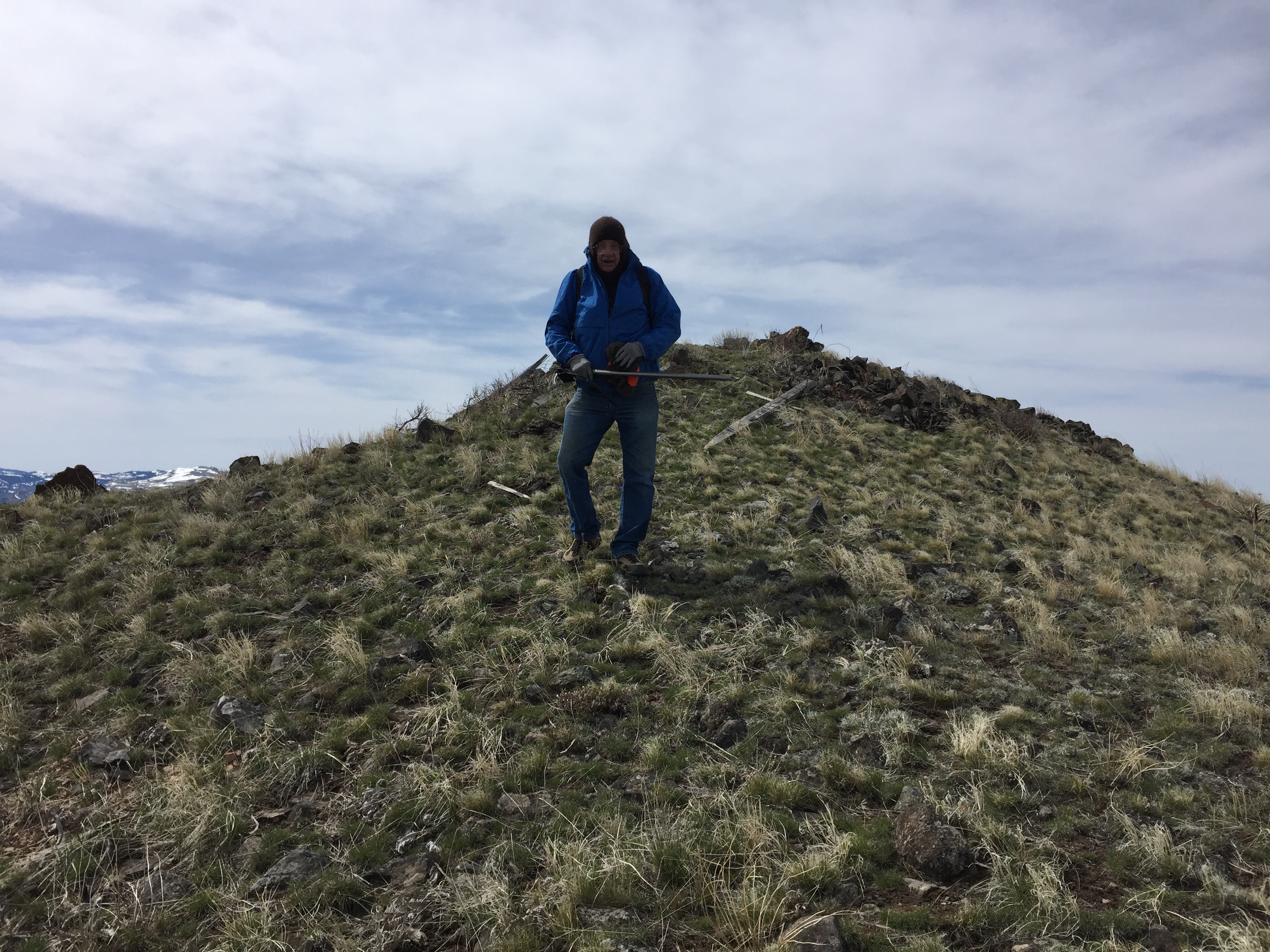
The summit on a very windy day.
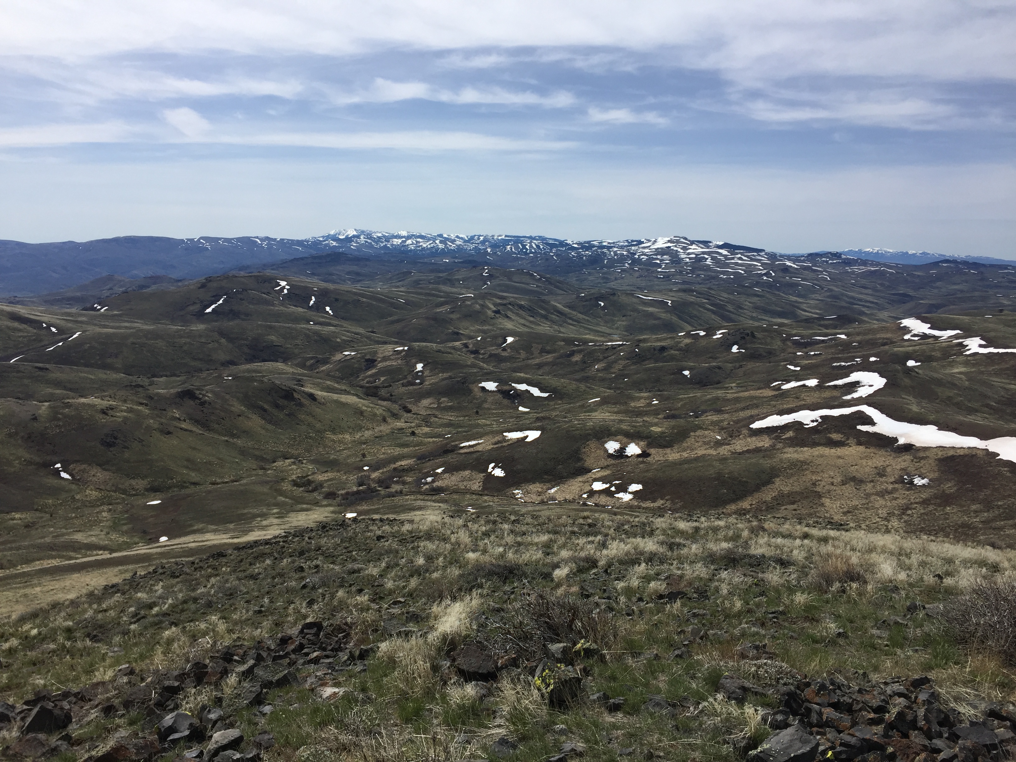
Looking toward the Silver City Range peaks from the summit.
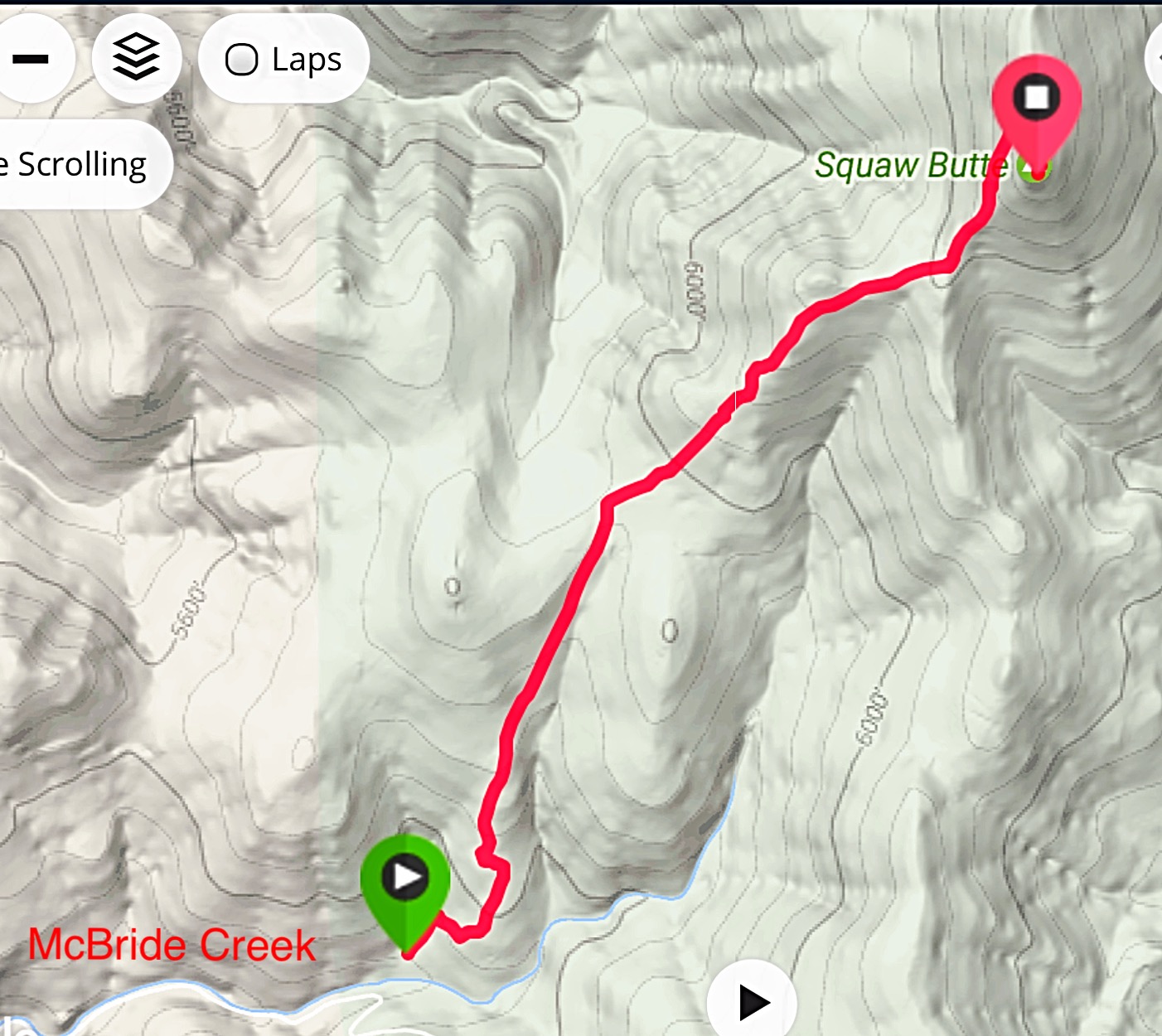
My GPS track.
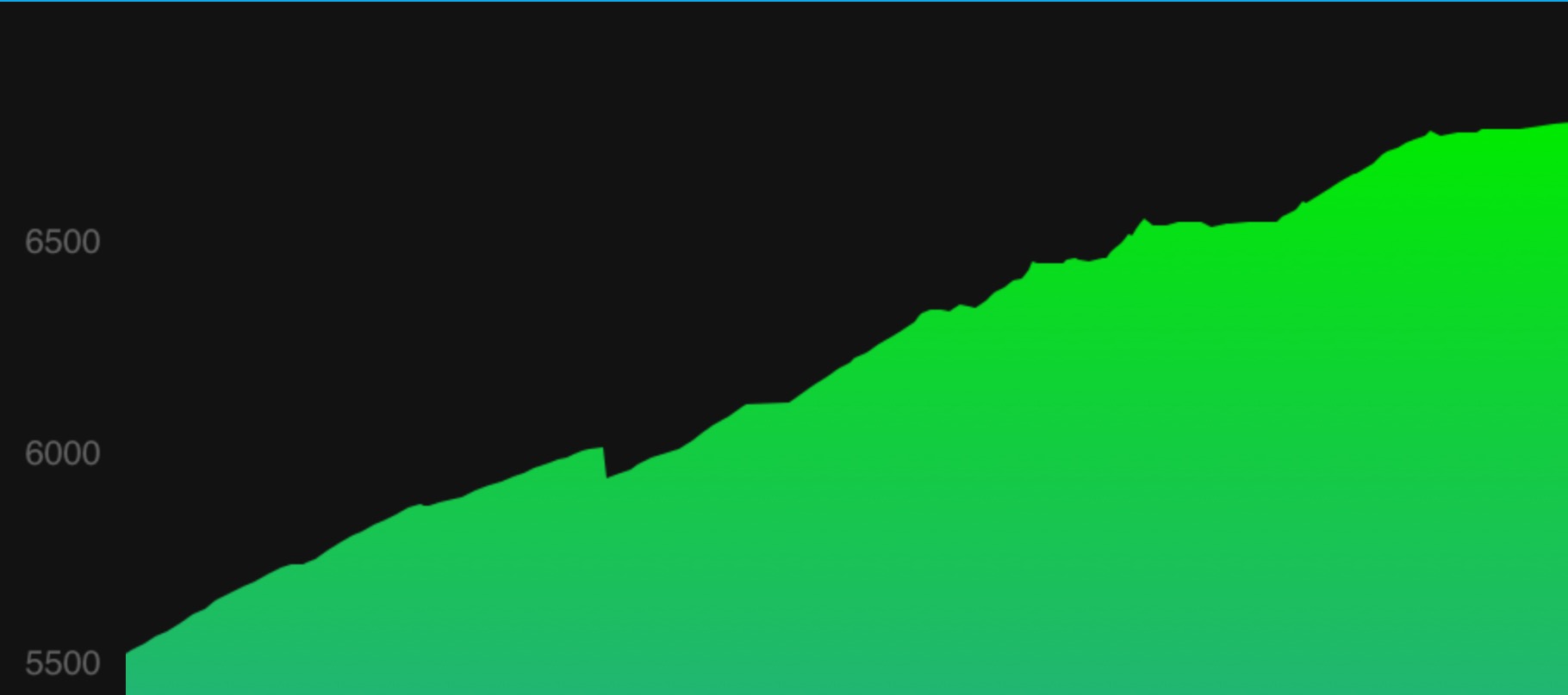
My GPS elevation profile.
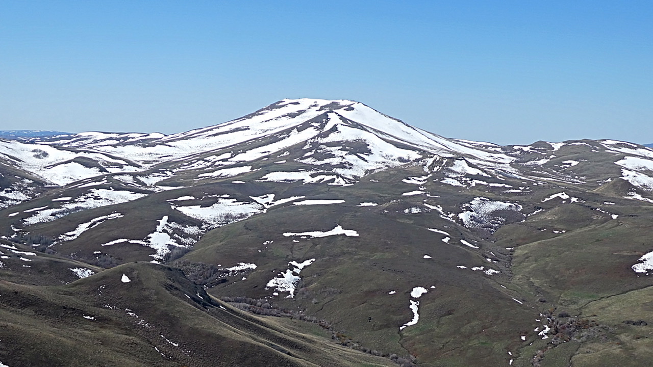
Squaw Butte viewed from Peak 6311.
Additional Resources
Regions: Owyhee Mountains->SOUTHERN IDAHO
Mountain Range: Owyhee Mountains
Year Climbed: 2017
Longitude: -116.8849 Latitude: 43.88489