The Sublett Range extend from the Snake River Plain south almost to Snowville on the Idaho/Utah border. From the surrounding valleys, the range resembles a low grouping of rugged, dry hills. This range is much greener, more complicated and diverse than it appears from the valleys. The range is a meeting ground between the Great Basin and the Snake River Plain. The Sublett Range is named for William Sublette (1798-1845), explorer with the Rocky Mountain Fur Company.
The Sublett Range HP viewed from the north.
The highest point in the range, Peak 7492 is not officially named. Cedar Creek Peak (7,464 feet) is the highest named summit. In addition to these two peaks, there are five other peaks that reach above 7,000 feet including Heglar Benchmark (7,400 feet), Hartley Mountain (7,456) and Quaking Aspen Mountain (7,230 feet). The Sublett peaks are yet another product of Basin and Range faulting. Most of the range’s rock is sedimentary but in places younger volcanic rocks are found on the surface.
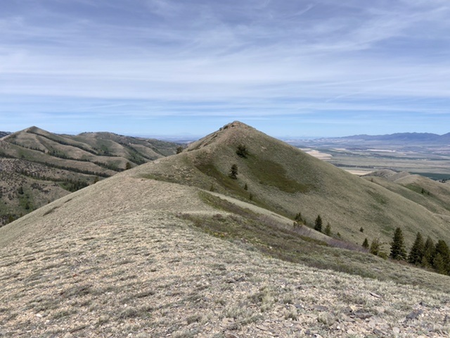
The peak is highlighted by long ridges which are excellent for foot travel and can be reached by good roads.
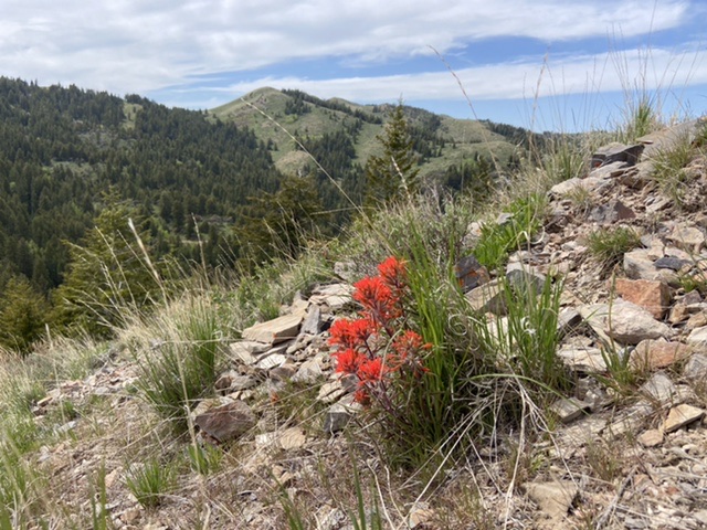
Ralph Maughan describes the range as follows: “This Idaho range rises out of the Snake River Plain and runs southward to about the Utah border. It is not especially high, and has the narrow ridgelines so typical of a Great Basin Range. It is somewhat unique in that is nota narrow linear N/S range, and it is high dissected — many lesser ridges and canyons, giving one inside in range the impression of being in a much larger area. Although it is somewhat overgrazed, it is well vegetated compared to many nearby ranges, especially to the south. Some portions have beautiful wildflower displays in late May and early June.“
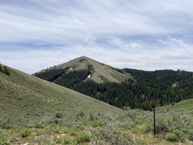
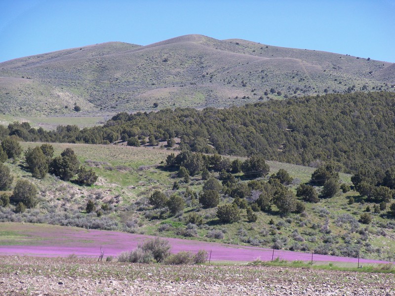
Quaking Aspen Mountain (center) is a behemoth in this section of the Sublett Mountains. This view is from the southwest. Livingston Douglas Photo
The Sublett Mountains, one peak and two access points are briefly discussed on Page 353 of the book. The heart of the range is managed by the Sawtooth National Forest. The BLM manages the southernmost peaks. Although private property complicates or closes some access routes the access to the range is overall excellent.
Use this link to read about the Sublett Mountain summits included on this website: Sublett Mountain Peaks
Ritz Hill (6,140 feet) is on the Great Basin end of Sublett Range, only 3 miles from I-84 and the hamlet of Juniper, ID. Now this is my kind of Salt Lake-to-Boise rest stop! Rick Baugher Photo and Commentary
Access
There is good primary road access to this peak from both the east or west. Google Maps will provide you with good directions to most points in Sawtooth National Forest portion of the Sublett Range. Exits 228 and 245 on I-84 are the primary western access points. In the east ID-37 traverses the Rockland Valley and has several access points. Most of the roads were graded in May 2021. The roads vary in quality but are better than you would expect for such remote land.
Hartley Canyon Road, FSR-578. The Hartley Canyon Road leads to Hartley Pass on the range’s main crest and then proceeds down to theNorth Heglar Canyon/South Summit Canyon Road which is the primary north/south access route through the range,
North Heglar Canyon/South Summit Canyon Road, FSR-565. This Road is the primary north/south route through the Sublett Range. Both ends of the road are accessed from I-84. To reach it from the north leave the freeway at Exit 228. Head east on East Yale Road for 8.7 miles and then turn onto the North Helgar Canyon Road. This road becomes FSR-565 when it reaches the National Forest Boundary. The southern approach leaves I-84 at Exit 245. From the freeway turn east and follow the road east/southeast into the mountains for 11.0 miles to Sublett Reservoir. This road becomes FSR-565 when it reaches the National Forest Boundary.
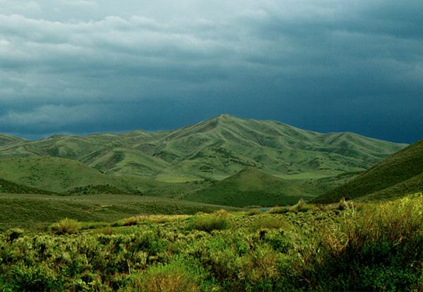
The Sublett Mountains. Ralph Maughan Photo
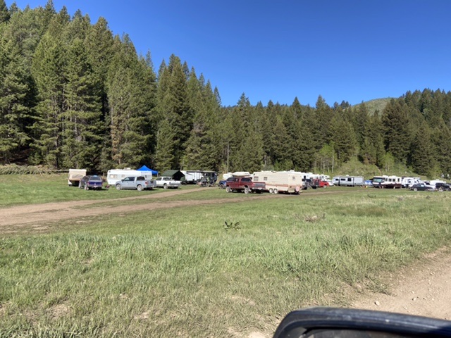
The range is popular with RV and ATV enthusiasts. It will be difficult but not impossible to find a campsite on Memorial Day Weekend.
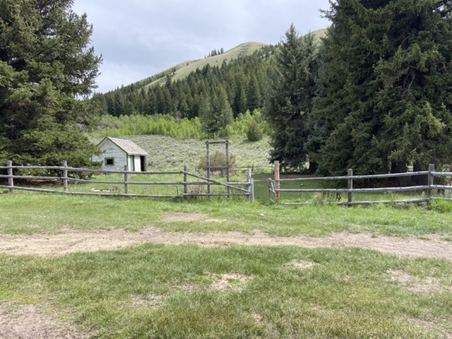
The Forest Service has abandoned its Sublett Guard Station. Nevertheless, the area is well managed and patrolled.
Looking northwest from Peak 7032 to Mount Neilsen Scott.
Regions: SOUTHERN IDAHO->Sublett Range
Mountain Range: Sublett Range