Elevation: 9,045 ft
Prominence: 745
Climbing and access information for this peak is on Page 128 of the book. Livingston Douglas increased our knowledge of this magnificent peak by adding the South Ridge Route and new photos. Updated November 2023
This is one of two Idaho peaks named Sugar Loaf. With its 800-foot, near-vertical, granite East Face, this Sugar Loaf the more impressive of the two. Surprisingly, there are no reports of rock climbing attempts on the Face. This could be due to the peak’s remote location or because, as one climber told me, the granite is rotten. The granite looks solid from a distance. USGS Hoodoo Meadows
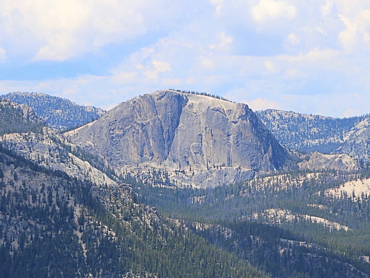
Sugar Loaf and its impressive east face. Gilbert Gallegos Photo
South Ridge by Livingston Douglas
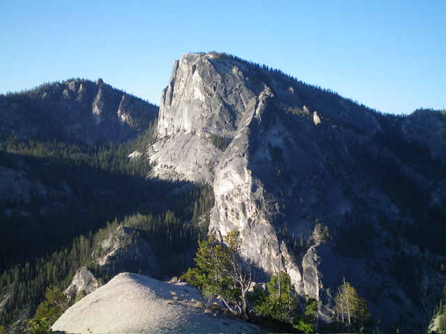
Sugar Loaf as viewed from Peak 8313 to its north. Livingston Douglas Photo
Access
Same as for Peak 8940. This is the second leg of a 2-peak adventure that includes Peak 8940 and Sugar Loaf (9,045 feet). It covers 4.0 miles with 1,375 feet of elevation gain round trip. It begins along FSR-114/Yellowjacket Lake Road.
South Ridge, Class 2
The Climb
From the 8,660-foot connecting saddle with Peak 8940, scramble north up the left/west side of the exposed ridge, staying in forested terrain until high up. Avoid the ridge rock/slabs if you wish to live. The final push to the summit is on the right/east side of a high gully on excellent slab rock. The summit of Sugar Loaf is a massive granite ground boulder. It has a three USGS benchmarks.
The summit is open and offers stunning views of the surrounding area. Don’t wander too far off because the east face is a sheer 850-foot drop. The north prow of Sugar Loaf is equally scary. Return to the connecting saddle with Peak 8940. Return up over Peak 8940 then descend its southeast ridge and bushwhack south down to the upper end of Hoodoo Meadows to return to the parking pullout and your awaiting vehicle.
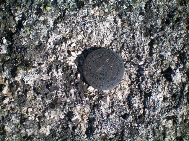
The USGS benchmark atop Sugar Loaf. Livingston Douglas Photo
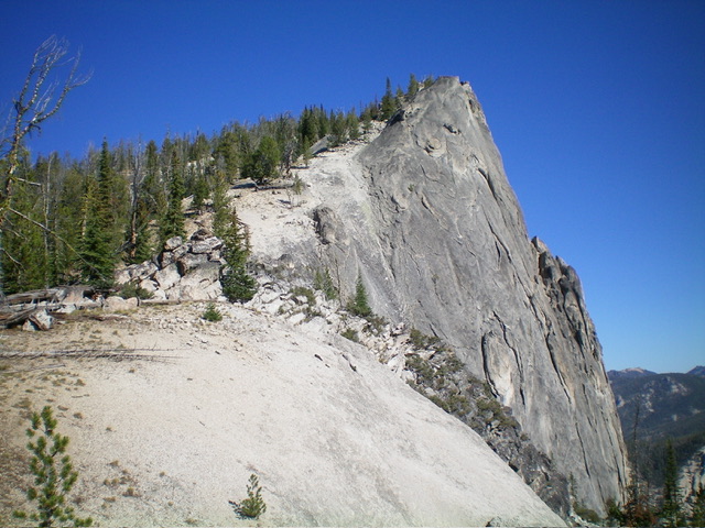
The steep, exposed south ridge of Sugar Loaf as viewed from the saddle at its base. The south ridge was my ascent route. Livingston Douglas Photo
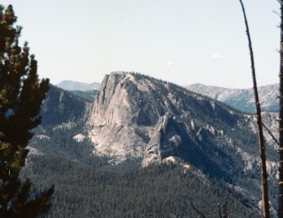
Sugar Loaf as viewed from the trail into the Bighorn Crags.
Additional Resources
Regions: Eastern Salmon River Mountains->Salmon River Mountains->WESTERN IDAHO->Yellowjacket Mountains
Mountain Range: Eastern Salmon River Mountains