Elevation: 6,622 ft
Prominence: 501

This peak is not in the book.
The scenic western end of Bennett Mountain Hills has more private land than public land. Much of the public land in this area is owned by the State of Idaho and is leased out to private concerns, often under terms that exclude public access. The land around this peak is an exception, as it is part of the Boise National Forest although there are no signs identifying it as such. USGS Goodman Flat
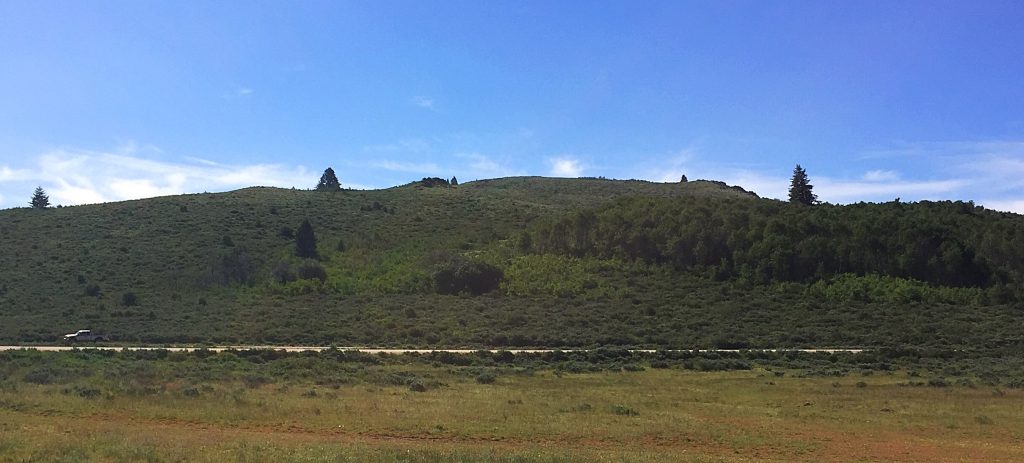
The western slopes of Summit Benchmark.
Access
This peak is easily accessed via the Mount Bennett Road (no, this road does not go anywhere close to Bennett Mountain). Access this signed, well-graded gravel road from US-20 just west of Mile Marker 126. Follow the road south past many “No Trespassing” signs for 7.0 miles to a turnout on the east side of the road. The summit is about a mile southeast of this turnout and 500 vertical feet higher.
Northwest Ridge, Class 2
A two-track road heads east from this turnout. Follow this road a short distance to the first trees on your right. At this point, look for an obscure game trail that ascends near the edge of the forest and leads almost the entire way to the summit. The slopes of this peak are brushy and this obscure trail will make the ascent easier than just randomly plowing through the brush.
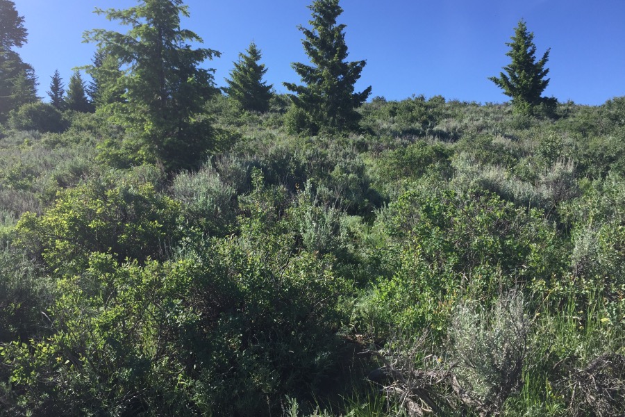
This is the point where the obscure game trail leaves the two track. As you can see, the brush covers the trail, but the trail is visible for most of the way.
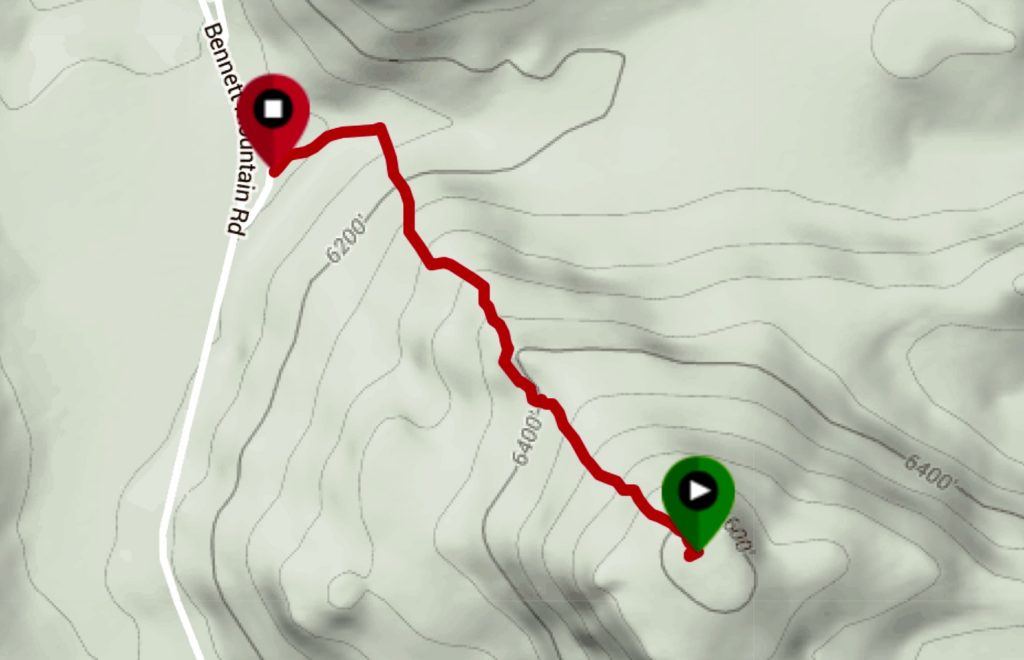
My GPS track.
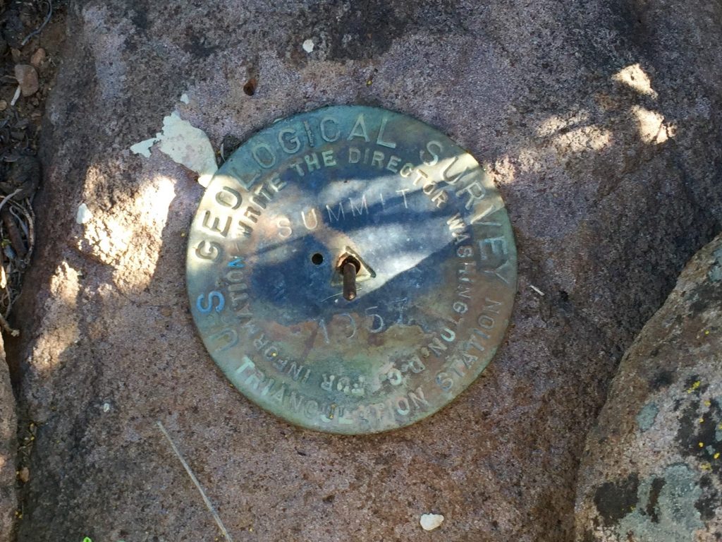
The USGS benchmark is hard to find as brush is taking over the summit.
Additional Resources
Regions: Bennett Mountain Hills->Boise Mountains->WESTERN IDAHO
Mountain Range: Bennett Mountain Hills
Year Climbed: 2016
Longitude: -115.34649 Latitude: 43.22959