Elevation: 10,046 ft
Prominence: 906
Climbing and access information for this peak is on Pages 193-194 of the book. Greg Parker provided the route information found in the book and is undoubtedly one of the climbers who best knows this interesting peak. His extensive update is set out down the page. Steve Grantham and Alex Feldman are two other climbers knowledgeable about this challenging summit. Their route information for the peak’s West Ridge describe the nontechnical but still difficult West Ridge Route. Updated December 2018
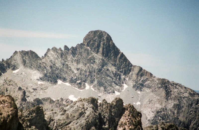
Tohobit Peak is another Sawtooth summit which is seldom climbed. This may be because it sits far west of the main crest (out of site, out of mind) or it may be because it looks so formidable when viewed from almost any direction (no easy way up). USGS Warbonnet Peak
Greg Parker has probably spent more time on this peak than any other climber. He is credited with the first ascent of peak’s North Face in 1997. Greg says of Tohobit “One of my all-time favorite peaks. . . Tohobit looms over one of the main trails in the Sawtooth Range, but my guess is that it has only seen 30 summit parties (or less) in the past 100 years. There is not an easy way to the top without bushwhacking, complicated route finding and some dicey scrambling, but it is doable without a rope. Add this to its remote location and you have a seldom-climbed Sawtooth masterpiece!”
I am not sure who did the first ascent but I suspect it was Steve Grantham’s 1985 party. Tohobit Peak was not mentioned by the Underhills, which is surprising to me.
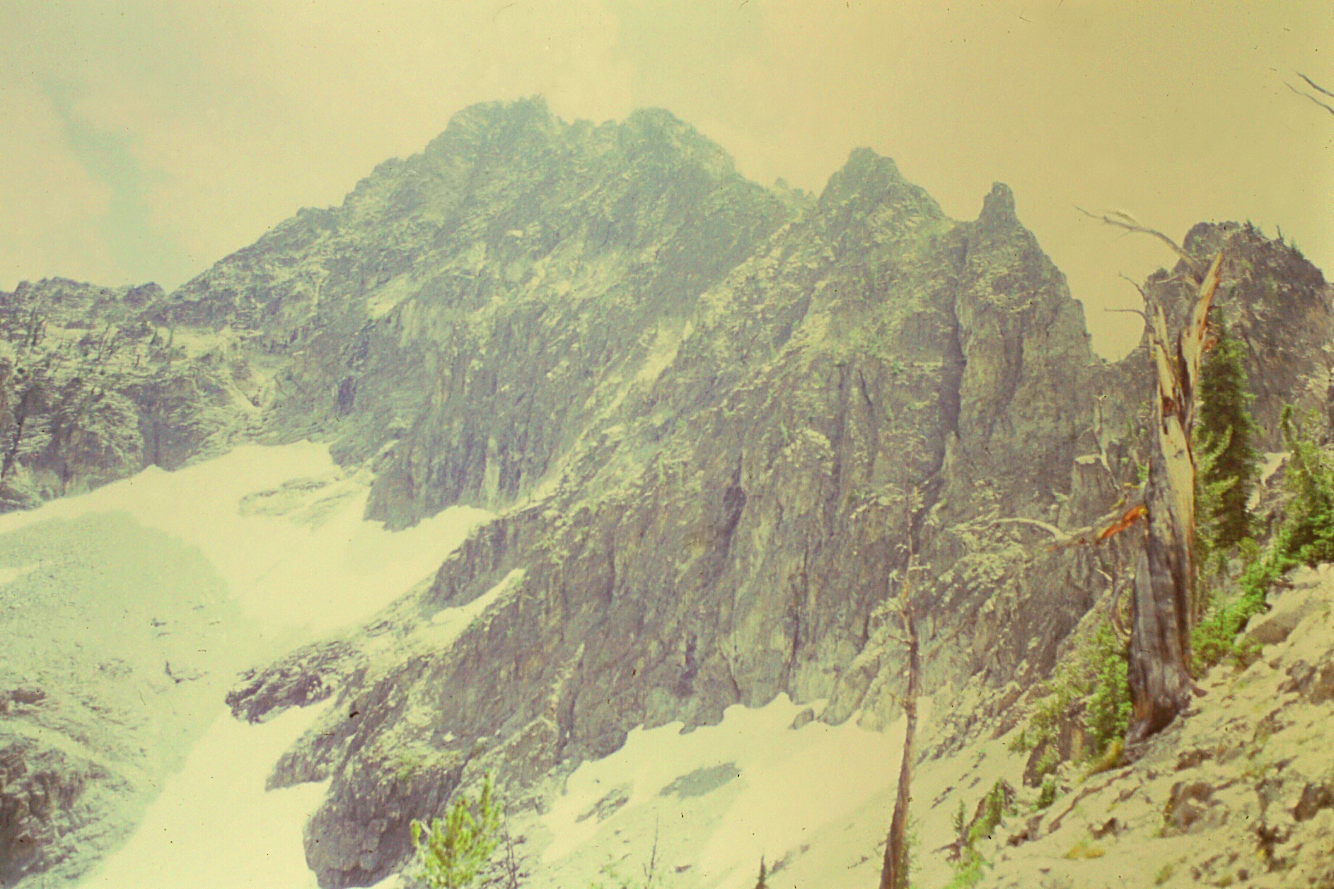
Tohobit Peak as viewed from the north.
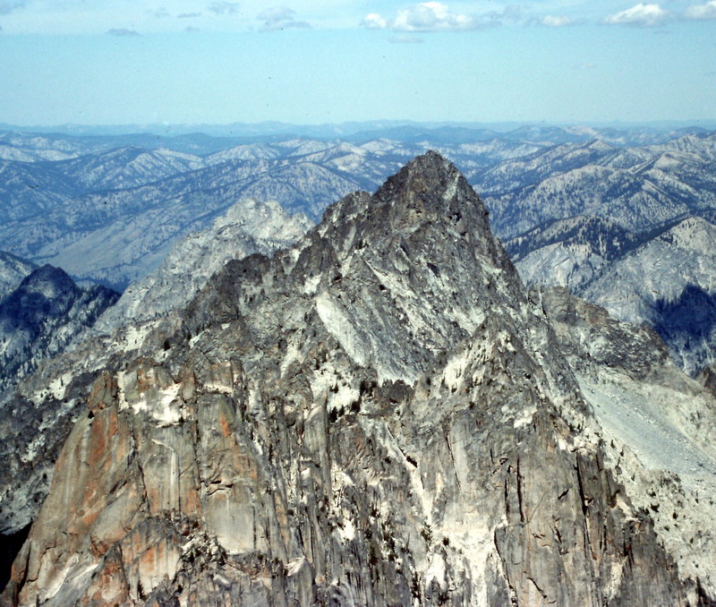
Tohobit Peak as viewed from the summit of Warbonnet Peak.
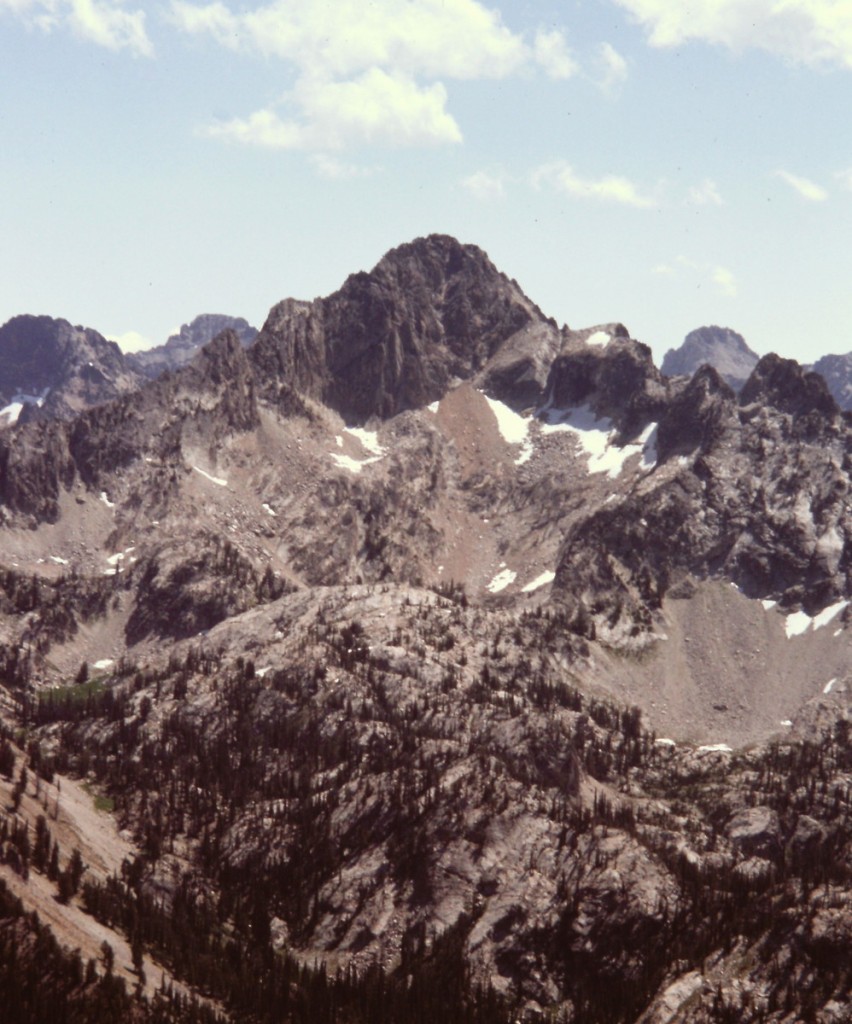
Tohobit Peak as viewed from Observation Peak.
Tohobit Peak by Greg Parker
North Face/West Ridge, Grade II, Class 5.5 and 50- to 60-degree snow and ice.
West Ridge, Class 3-4, Goat Creek and Baron Creek Variations

Alex Feldman’s map showing the ascent lines for the 1985 and 1995 climbs.
Tohobit Peak as viewed from Baron Creek. Steve Grantham Photo
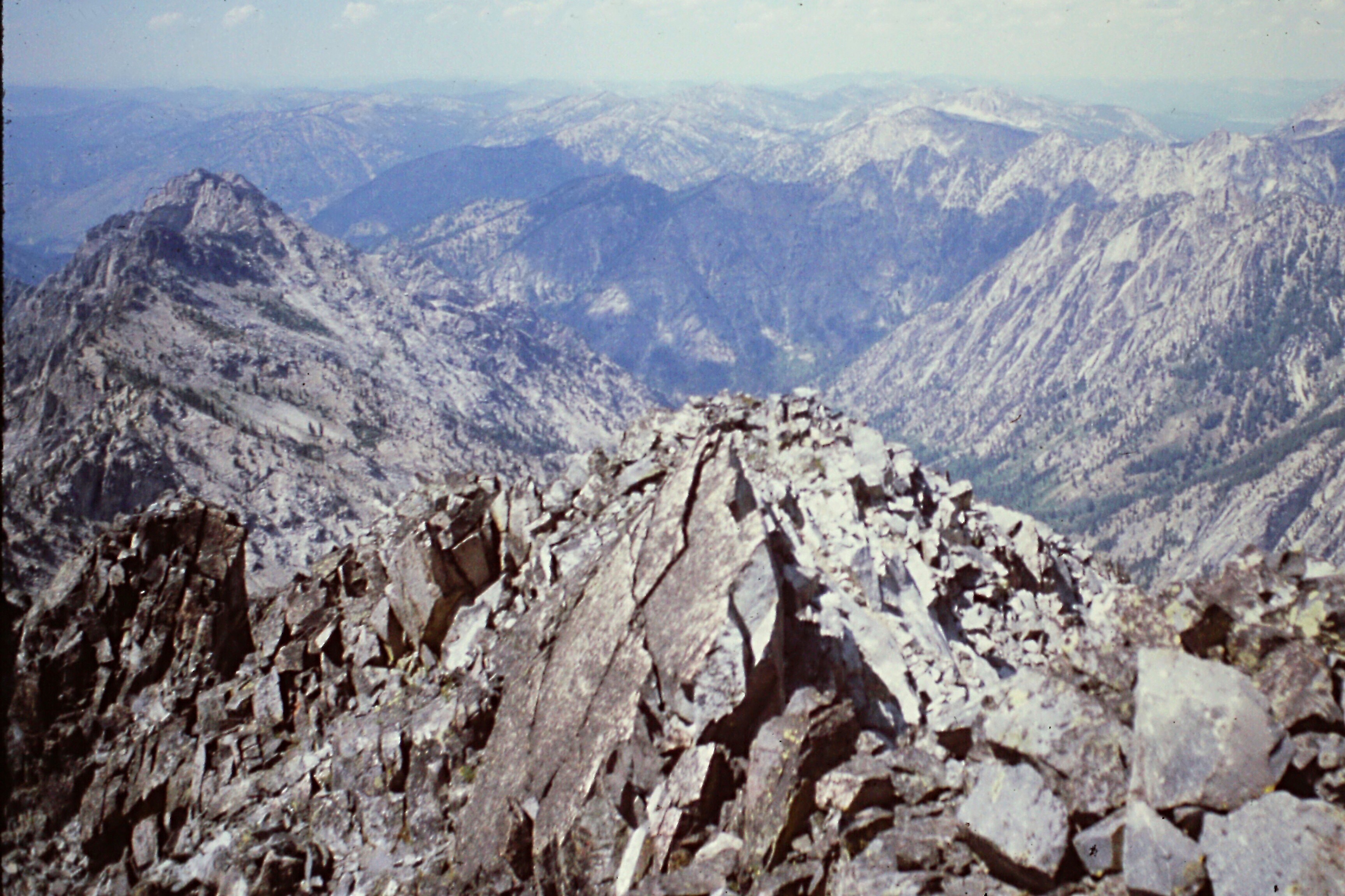
Looking down the West Ridge. Steve Grantham Photo
Goat Creek Approach
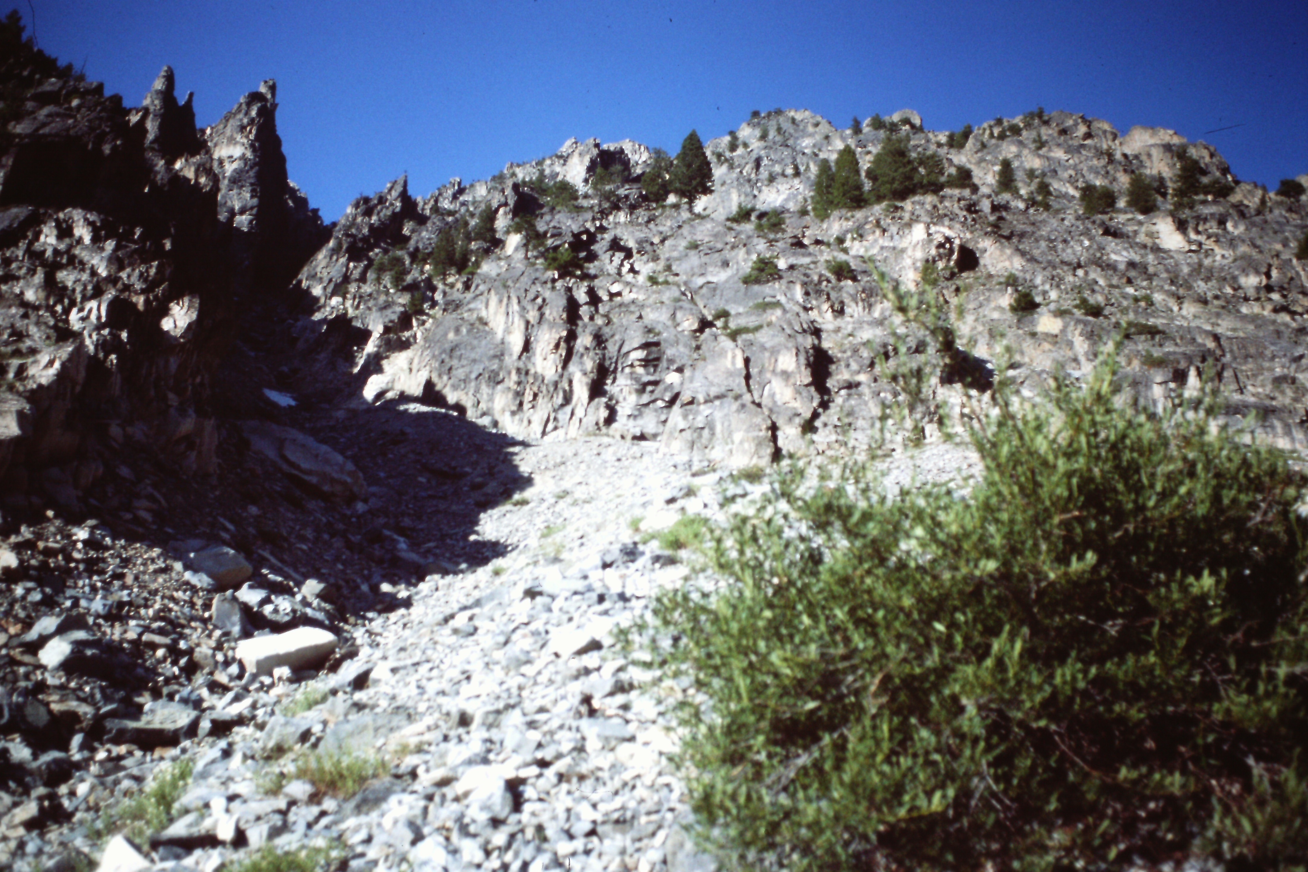
The 1985 party followed one gully up and descended another a bit farther to the east.
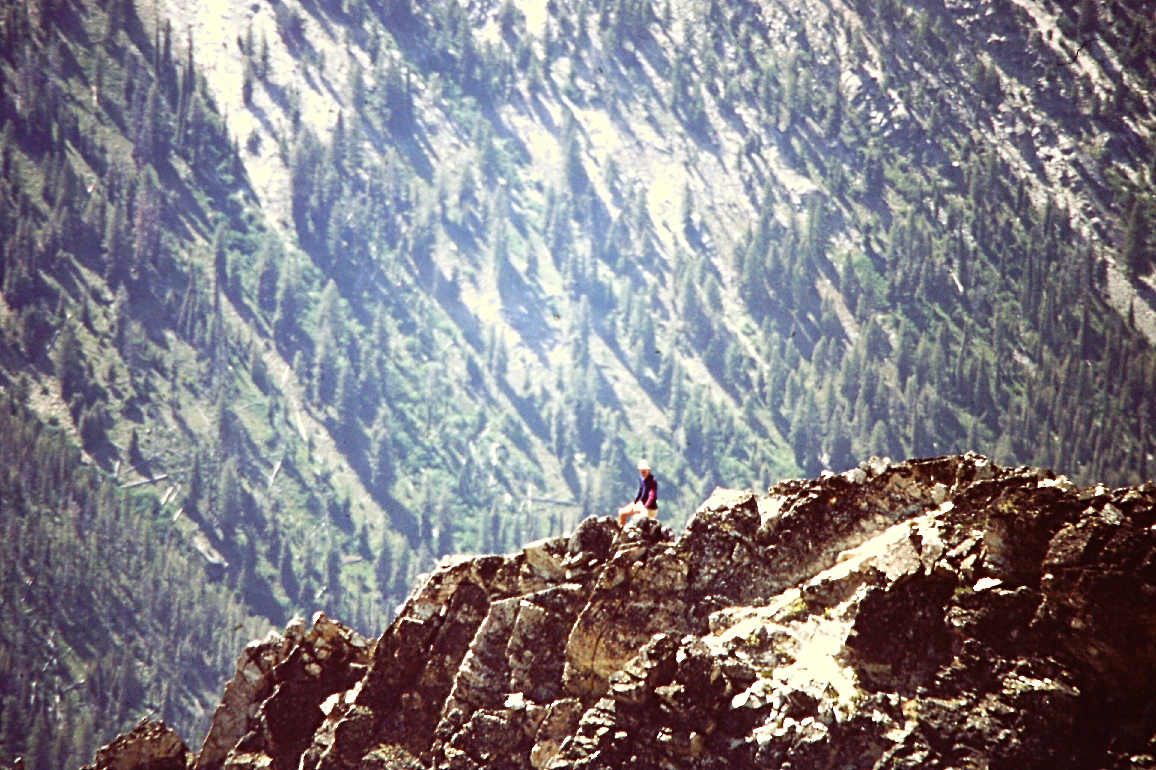
Climbing the West Ridge requires the careful crossing of exposed terrain. Steve Grantham Photo
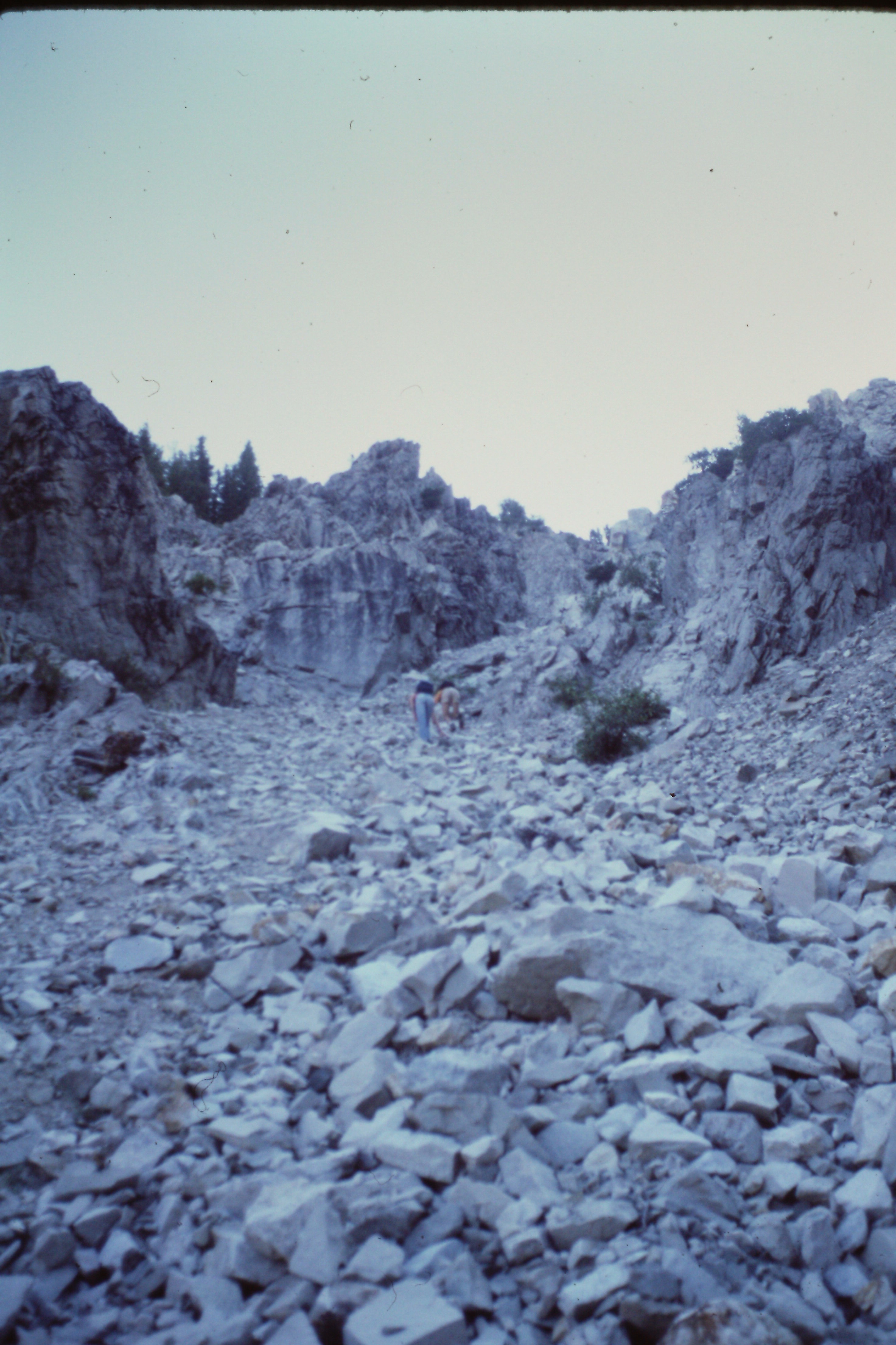
Climbing the ascent gully from Goat Creek. Steve Grantham Photo
Looking up the descent gully used by the Grantham Party. Steve Grantham Photo
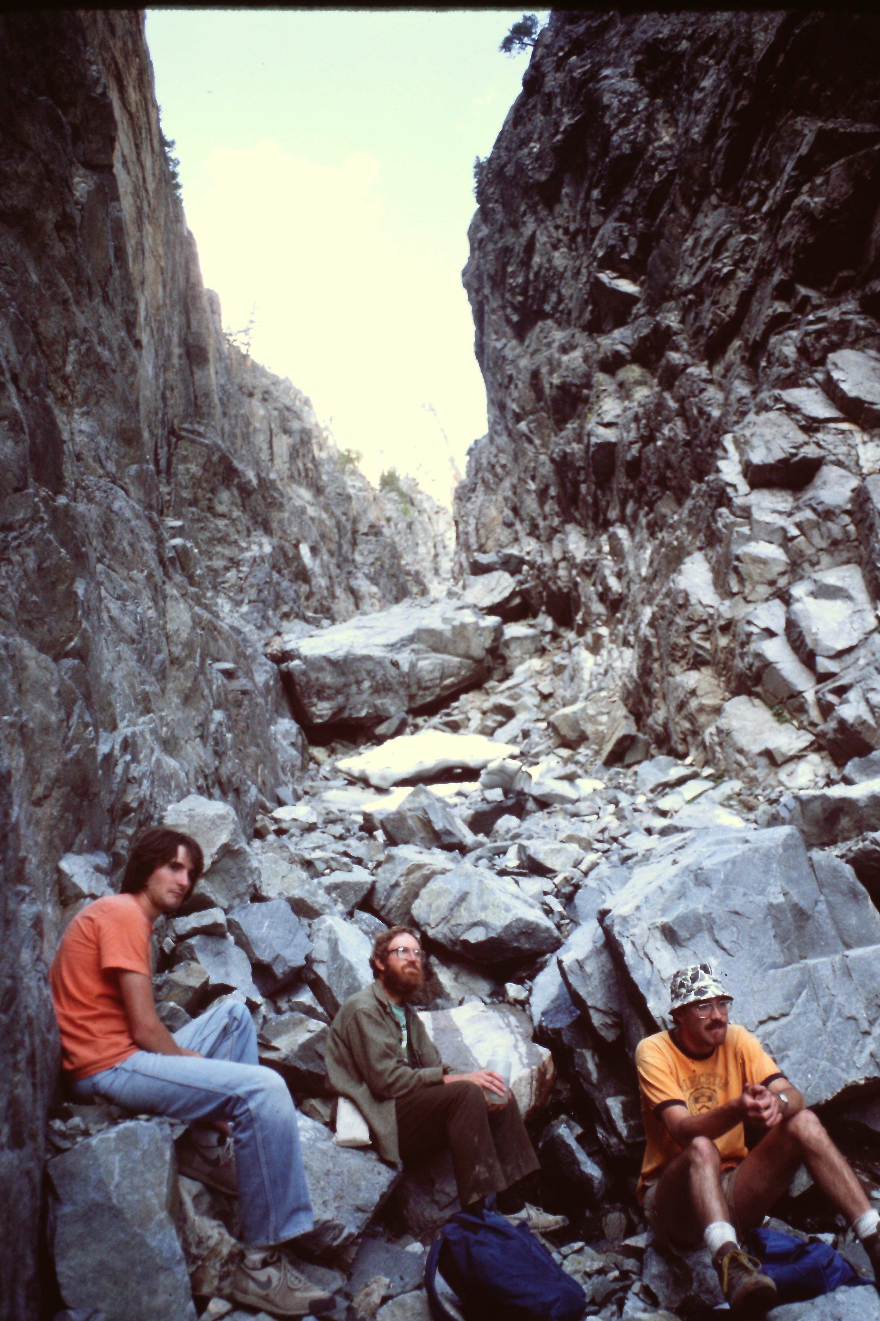
Resting in the descent gully. Steve Grantham Photo
Looking up the descent gully used by the Grantham Party. Steve Grantham Photo
Additional Resources
Regions: Sawtooth Range->Verita Ridge->WESTERN IDAHO
Mountain Range: Sawtooth Range
First Ascent Information:
- First Ascent Year: 1985
- Season: Summer
- Route: West Ridge from Goat Creek
- Party: Steve Grantham, Dave Ferguson, Ken Ferguson and Mike Crist
- Other First Ascent: North Face (II, 5.5, and 50- to 60-degree snow and ice.)
- Year: 1997
- Season: Summer
- Party: Greg Parker
- Other First Ascent: West Ridge Baron Creek Variation
- Year: 1995
- Season: Summer
- Party: Steve Grantham and Alex Feldman