Elevation: 8,380 ft
Prominence: 400
This peak is not in the book. Updated August 2019
Whitehawk Mountain is located north of Lowman, Idaho and west of Big Meadows. The peak has a fire lookout on the South End of its North-South summit ridge. The lookout has not been used since the Pioneer Fire burned much of the surrounding area. The view from the top is overwhelming and includes the Sawtooth Range and huge sections of the Salmon River and Boise Mountains. The high point of Peak 8420 is located roughly 1.5 miles north of the lookout. USGS Whitehawk Mountain
The true summit of Whitehawk Mountain as viewed from the lookout.
Access
A rough road leads to the summit of Whitehawk Mountain. The road is gated 0.9 miles before the summit. From Lowman, take Clear Creek Road/FS-582 [(E)(1.1) on Page 140] north to Big Meadows. At 12.0 miles, there is a junction. If you go straight, you will eventually reach the trailhead for Red Mountain. Take a hard left and follow the now steep and narrow road up and over Clear Creek Summit and then down into Big Meadows after another 7.6 miles. The junction for the Whitehawk Mountain Road/FS-569 is festooned with signs discussing the Meadow’s interesting history. Turn onto FS-569 and follow it to the summit. A 4WD vehicle is recommended. There is poor parking just before the gate.
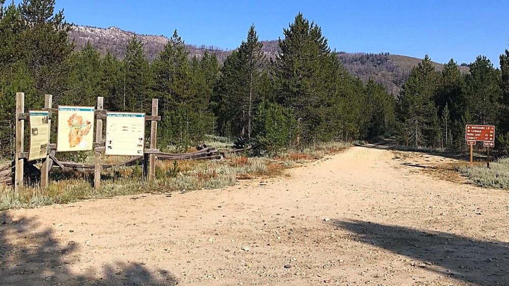
The junction for FS-599 in Big Meadows.
Summit Ridge, Class 2
From the road’s end at the lookout, follow the open ridge north to the high point. The tread of an old trail can be followed much of the way. The distance from the lookout to the high point is roughly 0.6 miles with a minimum of up and down.
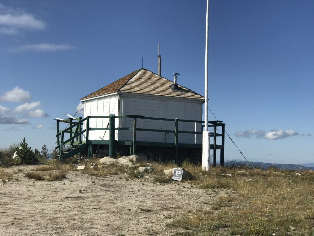
The fire lookout in 2019.
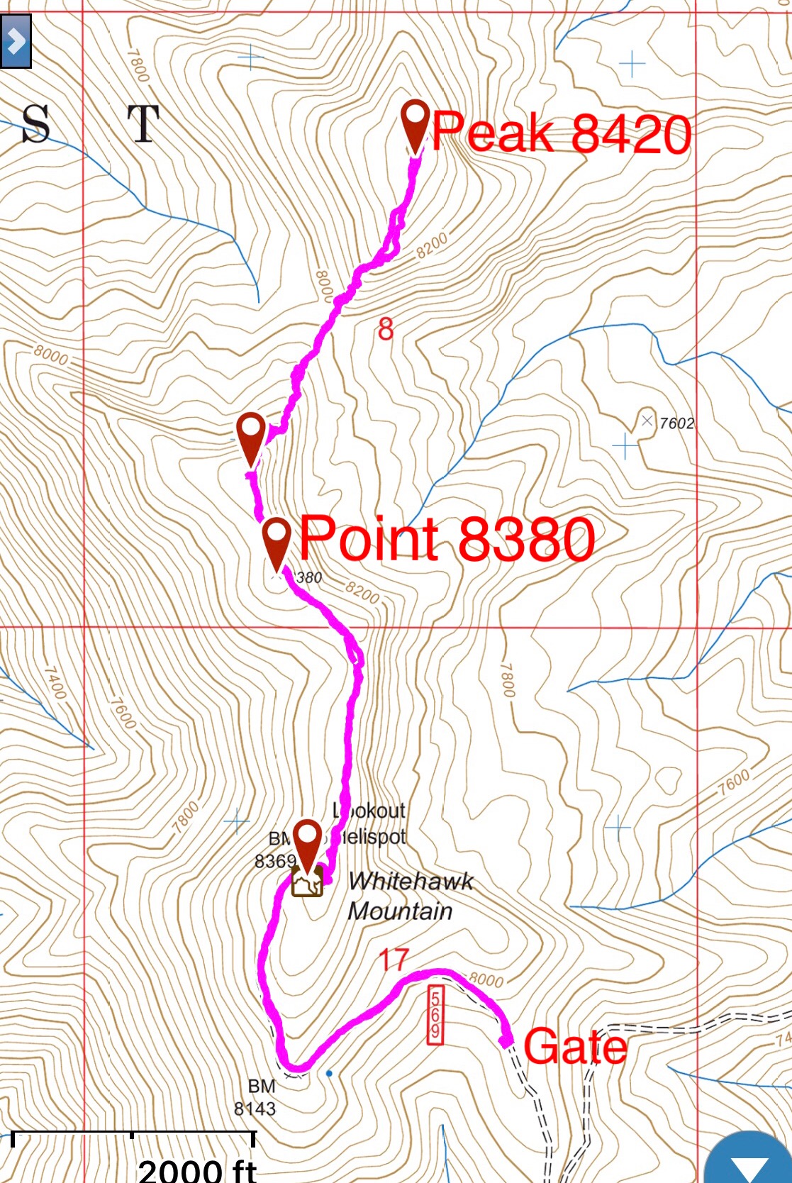
My GPS track. It is 0.9 miles with 460 feet of gain from the gate to the lookout and another 0.6 miles to the true summit.
Older Boise National Forest maps shows 2 trails leading to the summit. The first trail is FST-021 which leads to the summit from the west. If this trail still exists, it leaves FS-510 near Whitehawk Basin. The second trail is FST-022 which also starts along FS-510 and approaches the peak from the south. Neither trail is shown on the USGS topo map or the latest Forest Service map.
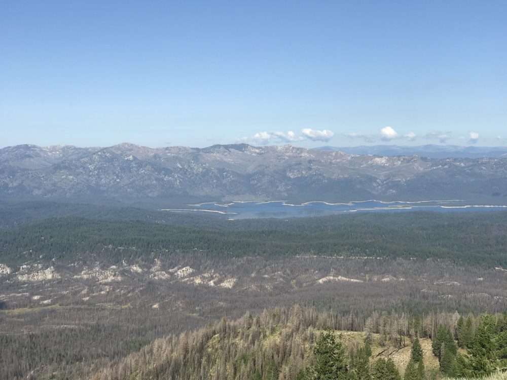
Deadwood Reservoir and Deadwood Ridge as viewed from the fire lookout.
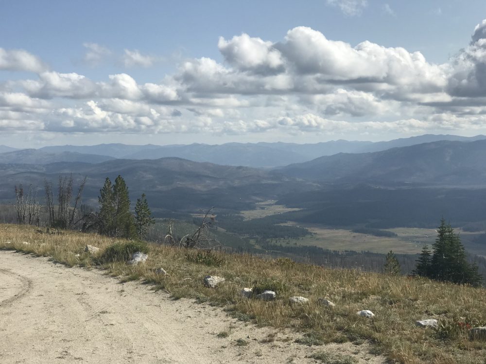
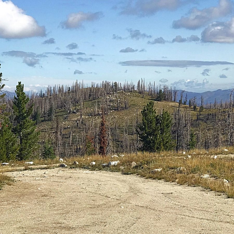
Looking northeast from the fire lookout.
Additional Resources
Regions: Central Salmon River Mountains->Johnson Creek - Middle Fork Divide Peaks->Salmon River Mountains->WESTERN IDAHO
Mountain Range: Central Salmon River Mountains
Year Climbed: 2019
Longitude: -115.53229 Latitude: 44.29469