Thunderheads were building as we set up a spare tent in the brush below Lost River Peak. My brother Dennis and I closed our ice chest, locked our bikes and drove to the Mount Borah trailhead to park our car. At 2:20PM on July 30, 2007, we set out on the Mount Borah trail to begin a high traverse of the central Lost River Range. During our first mile, we passed 3 successful Borah summiteers who appeared relieved to be off the mountain. A short time later, a solo climber approached who had been sent packing by thunder rumbling overhead. These were the last people that we would see for the next 4 days.
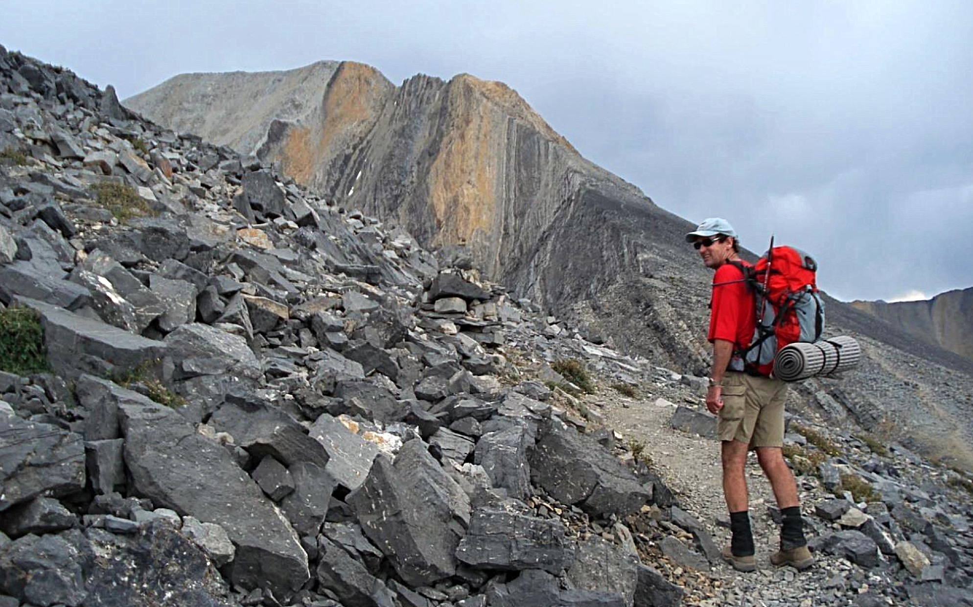
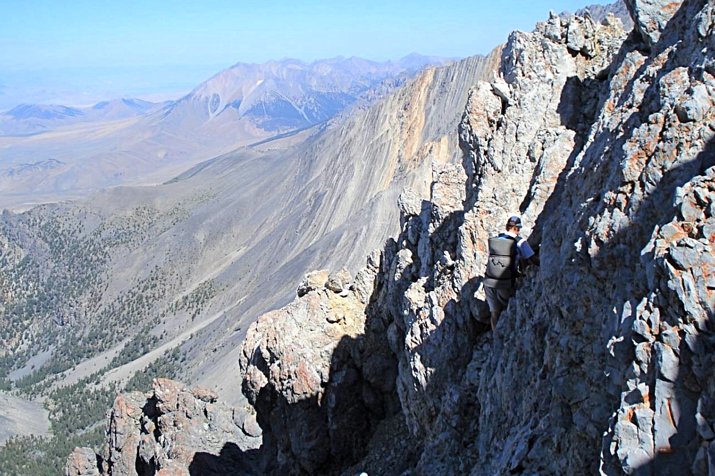
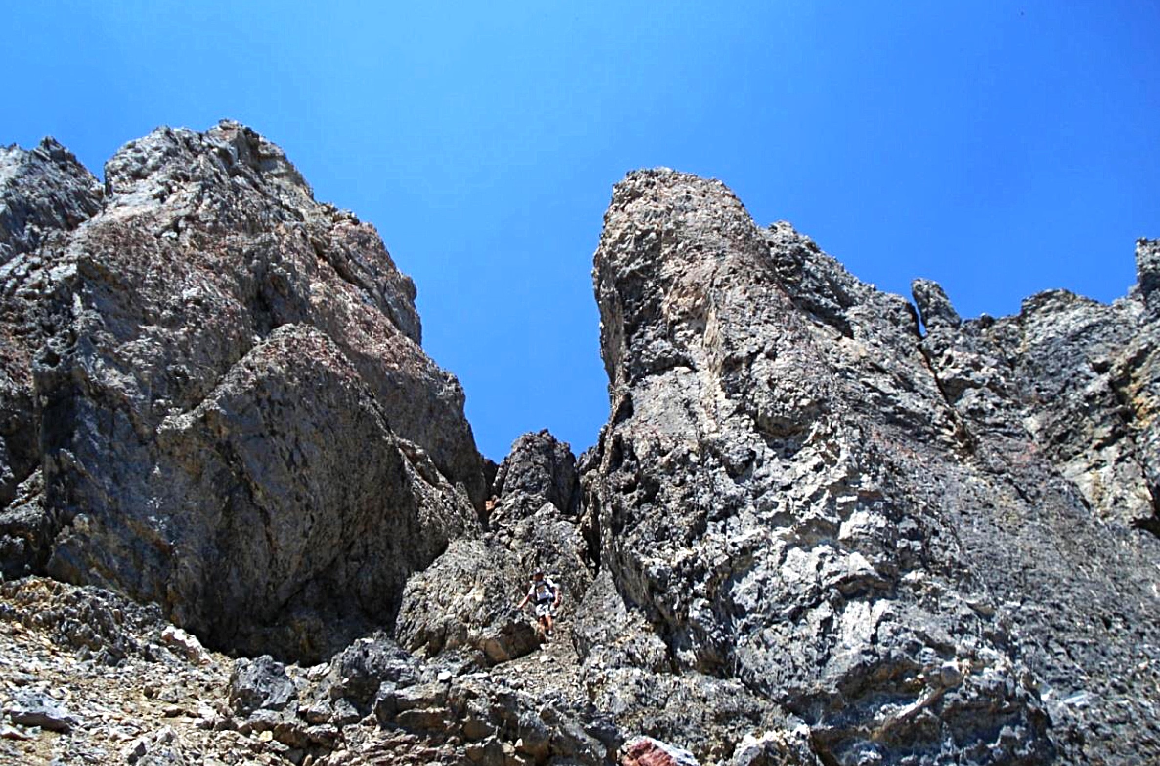
The first thunderstorm occurred as we approached Chicken-Out Ridge on Mount Borah.
July 30
Rain and lightning began in earnest as Dennis and I climbed above timberline below “Chicken Out Ridge,” a section of steeper rock about 1,000 vertical feet below the summit of Mount Borah. We waited out the squall before traversing the ridge to the saddle below Mount Borah’s summit. Rain and lightning began again as we found shelter under a small overhang. But in time, the storm moved on and we dashed to the summit. A big American flag flapped on the summit and welcomed us. We reached the top at 7PM, a little over 4.5 hours since leaving the car, having spent a considerable amount of that time hiding from the weather.
After a short time on top, we descended to the saddle and were again hit by a thunderstorm. As we waited out that storm, we realized that the saddle might be a good place to bivouac. Dennis and I were unfamiliar with the routes to Sacajawea and Mount Idaho so were unaware of other sheltered places to sleep. We decided that the weather was too marginal to continue. Before sunset, the clouds briefly parted and rainbows appeared. There were single and double rainbows and many reached the summit of Sacajawea. Darkness fell and rain continued throughout the night.
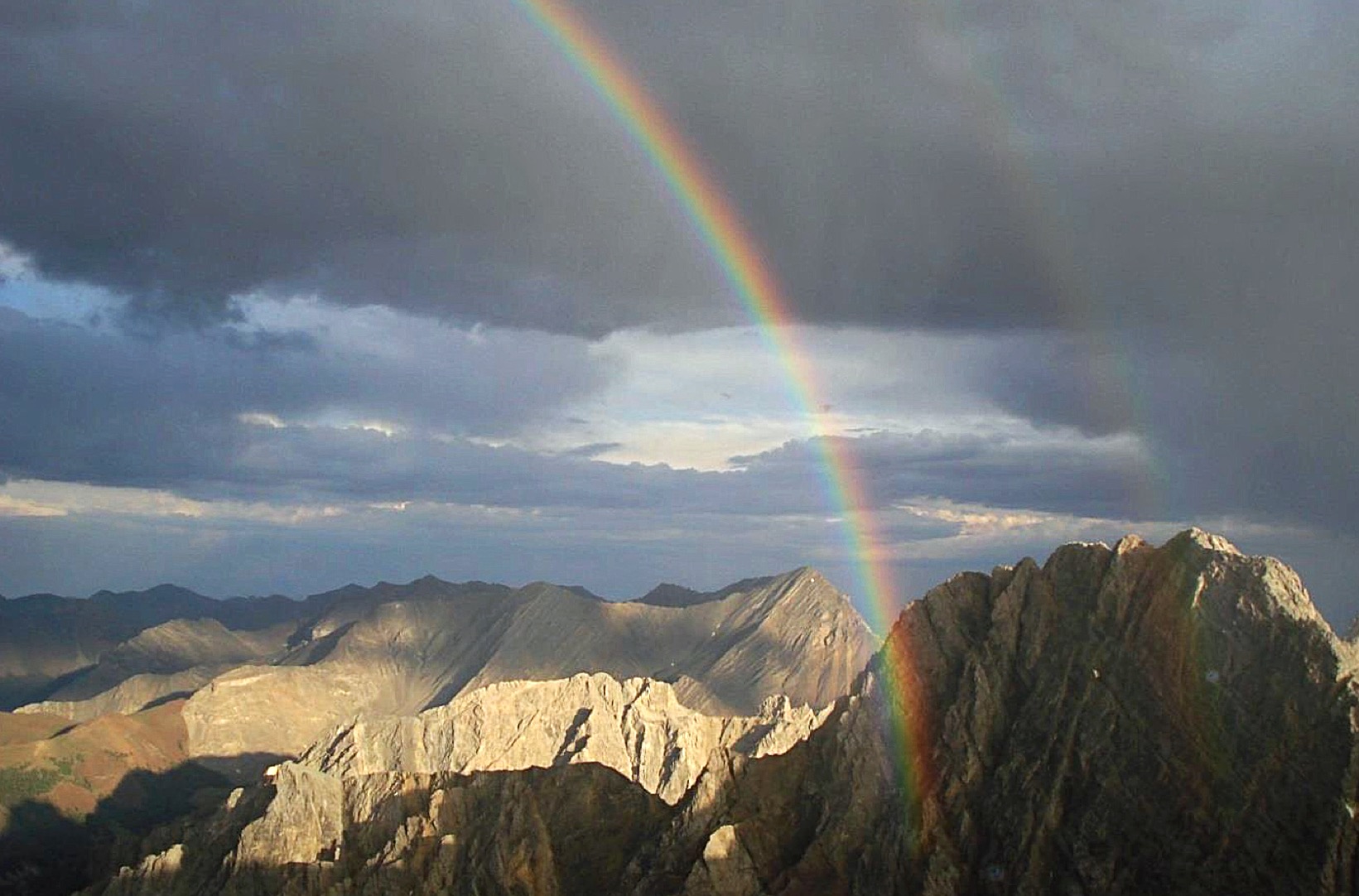
Rainbow over Sacajawea.
July 31
July 31 dawned overcast. I was beginning to doubt the likelihood of completing our ridge trek. We refilled our water bottles by catching drips from a small snow patch and set out at 7AM.
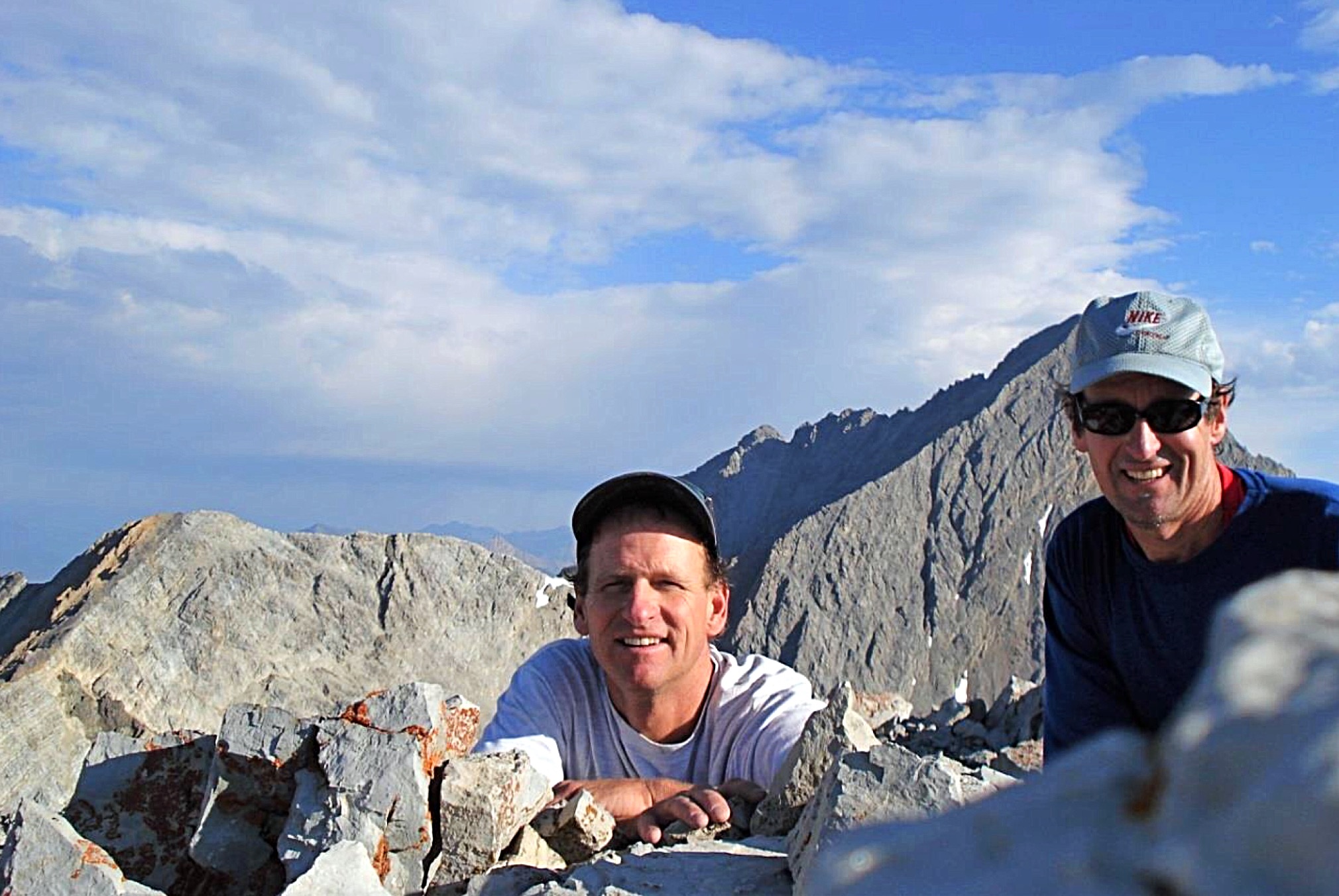
Dennis and Pat on the summit of Sacajawea.
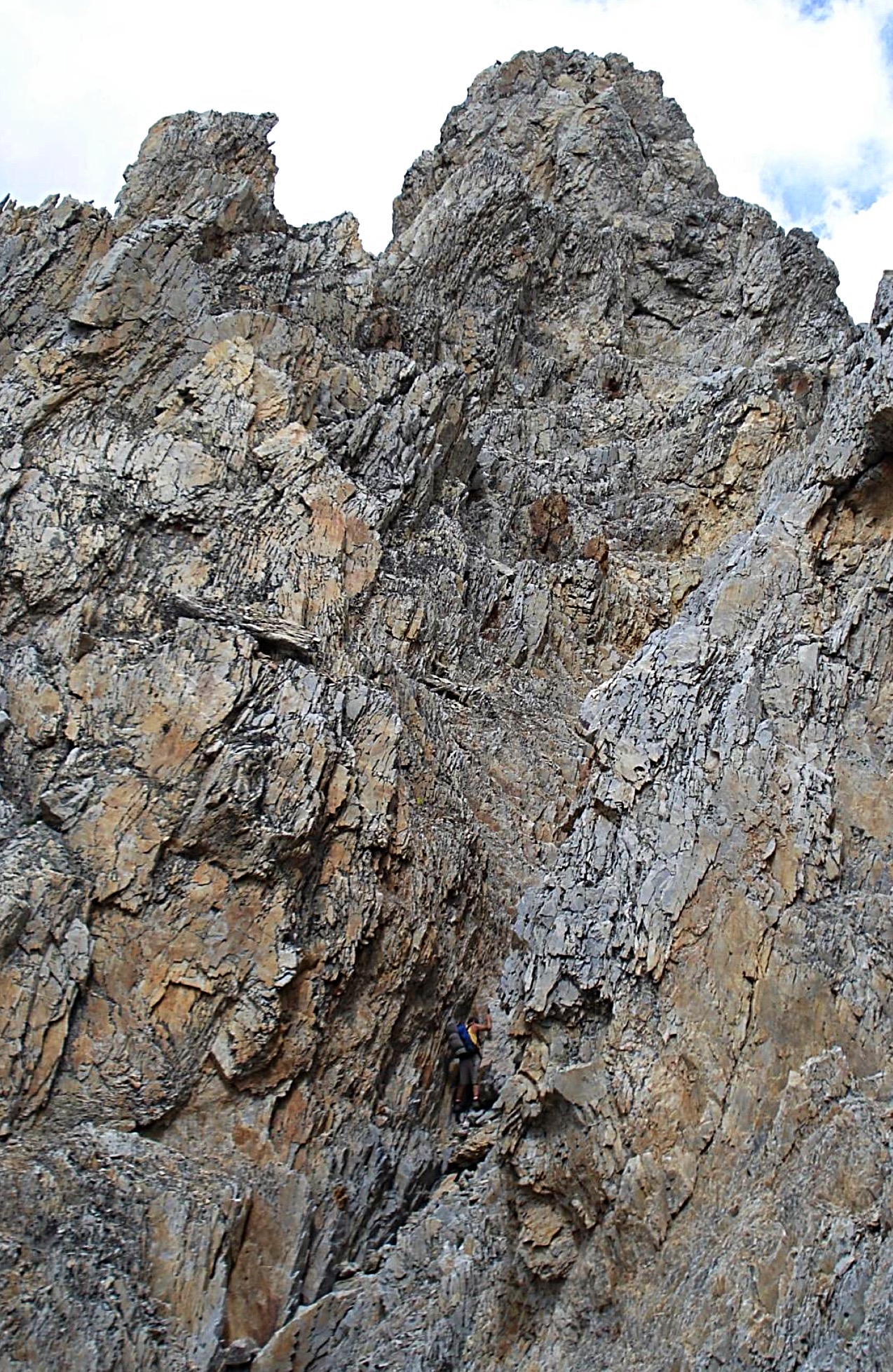
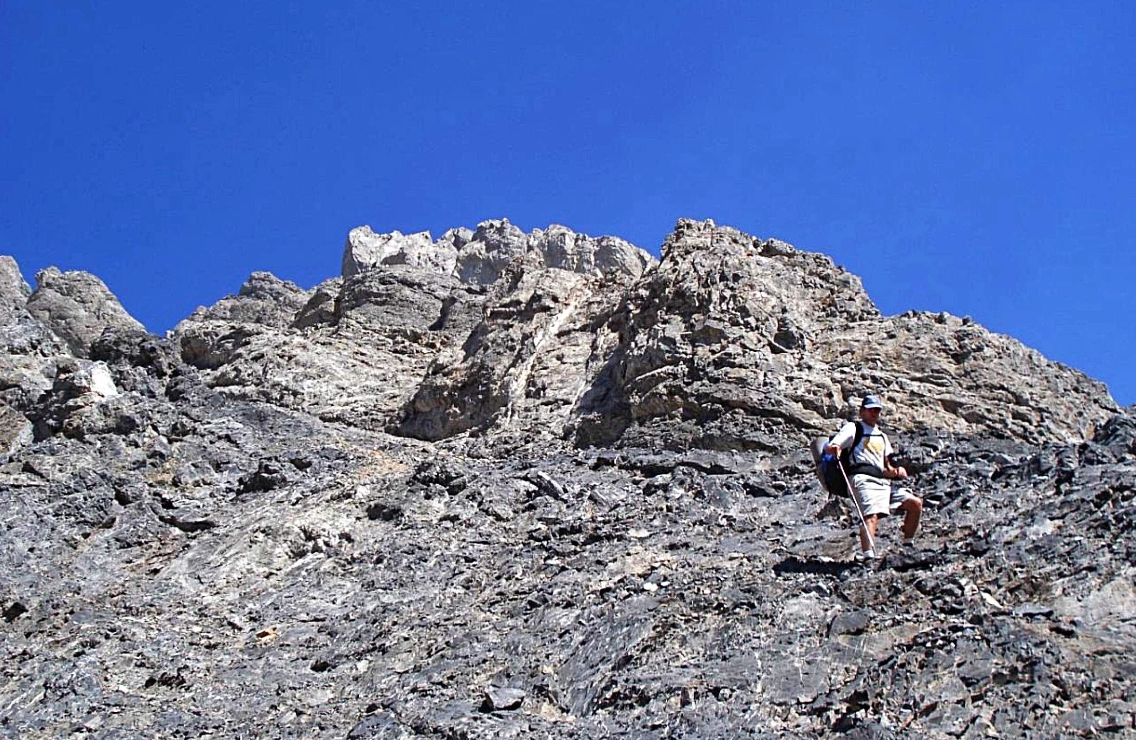
It took 1 hour and 40 minutes to summit Sacajawea. It was a fun scramble. Our route took us to a large cave on the Northwest Face and then followed steep ground to the top. We descended a scree gully to the saddle of Mount Idaho and it began to rain. This time, the rain was brief. We hunkered in the open before starting up the North Ridge of Mount Idaho. We eventually moved onto the Northwest Face and scrambled up clean rock to the top. Mount Idaho is one of my favorite peaks because it is fairly steep on all sides. We reached the summit at 11:45AM.
Waiting out a morning shower on Mount Idaho.
Approaching the summit of Mount Idaho.
So far, so good. Dennis and I ate lunch and proceeded down the South Ridge of Mount Idaho toward the saddle with Peak 11967. I had soloed this ridge traverse in 2006 and believed I could improve on the route based on past experience. Wrong! We ended up leaving the ridge too early which necessitated a long thrash on loose rock and scree. Eventually we scrambled up to the North Ridge of Peak 11967 and reached the summit at 3PM. Each day, we started with 3 quarts of water in the hope that we could supplement our supply with melting snow. But this day, things did not work as planned. There was very little snow on this segment and most of it was in places that were difficult to access from the ridge above.
By the time we reached Peak 11967, thirst was setting in. We left the summit of Peak 11967 while rain fell all around us. Worrying about getting hit by lightning (which keeps you from generally vain attempts to collect rainwater) was getting old. It is only a short scramble to the South Summit of Peak 11967 and its summit cairn was graced with an old horseshoe–a sign of luck perhaps? Then with only a half-quart of water left between us, we moved on to White Cap Peak.
Steep terrain on the traverse from Mount Idaho to Peak 11967.
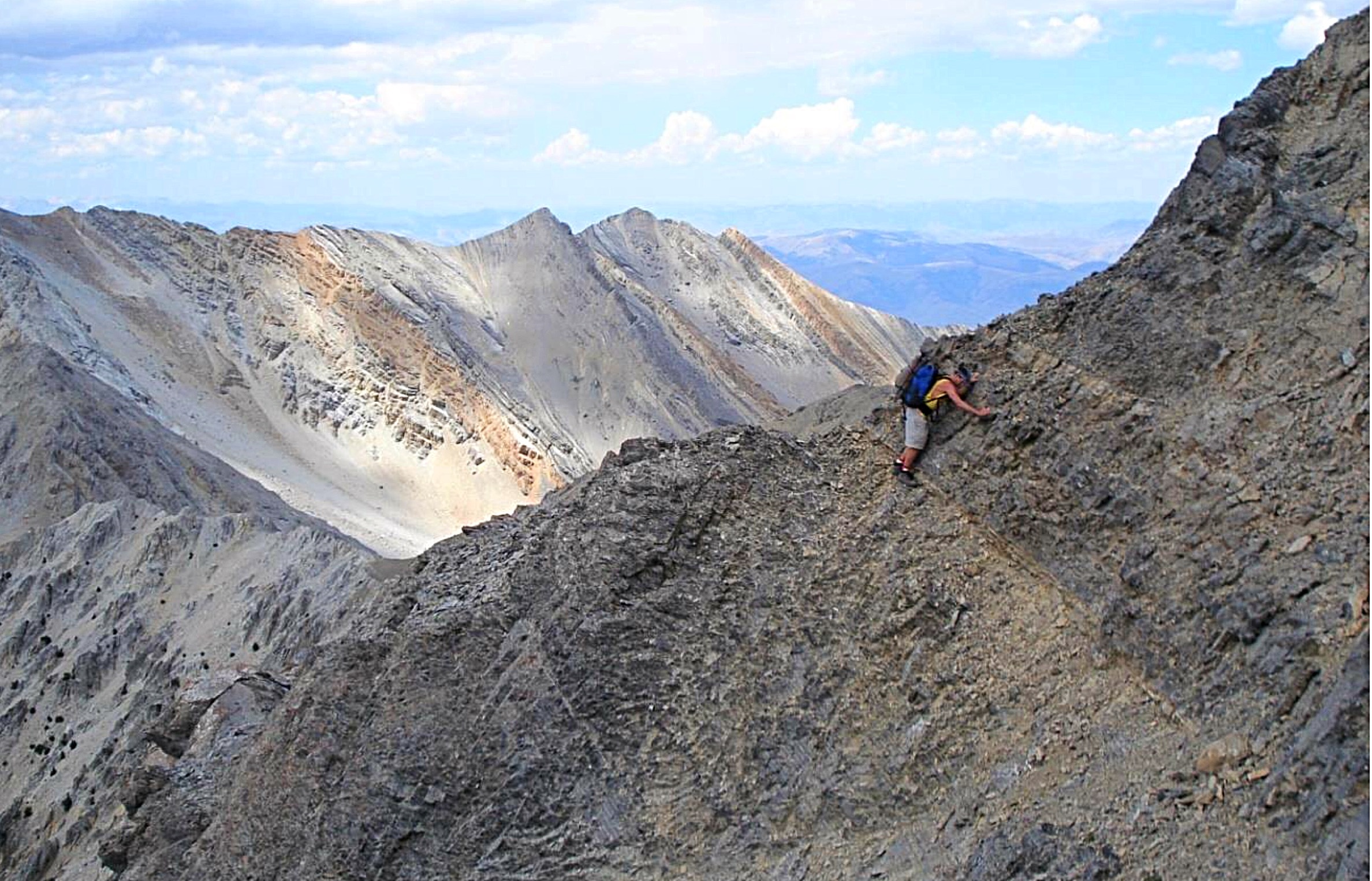
Traversing to Peak 11967.
Looking toward White Cap Peak from Peak 11967.
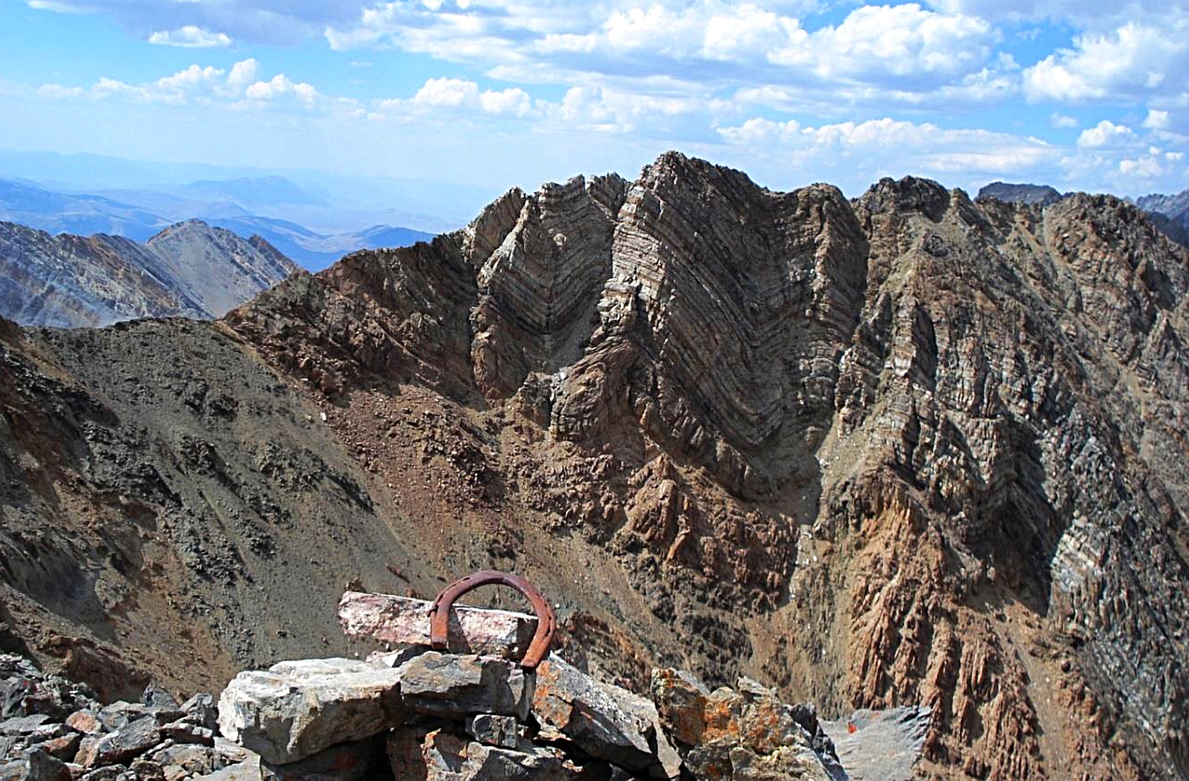
Looking back to the main summit of Peak 11967 from its South Summit.
The ridge from Peak 11967 to White Cap Peak features some steep rock towers. The sun came out and baked us as we traversed. Our thirst became agonizing. Finally, we gambled that a steep, white dihedral would take us to the summit without getting cliffed out for the umpteenth time.
We were in luck. We reached the summit of White Cap Peak at 7PM and drank the last of our water. After a few moments, we sped down the South Ridge toward Leatherman Pass and descended a short ways down the East Side. We camped in a high meadow near a large spring. The spring was surrounded by animal bones and feces. That did not matter. We used our water filter for the only time on the trip and drank until we were bloated. Mosquitoes were a bother and the night was chilly.
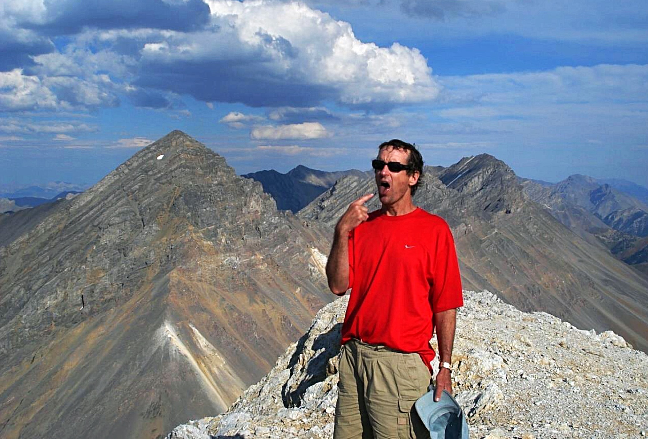
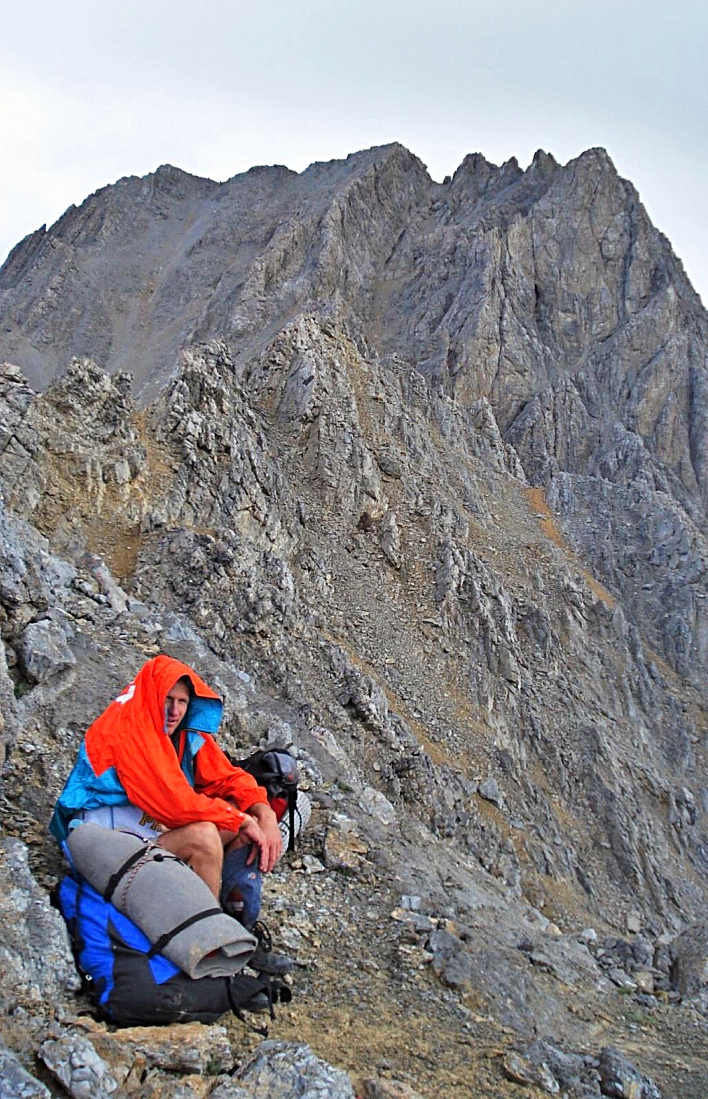
Dying of thirst on the summit of White Cap Peak.
August 1
We woke up a 6AM. Unlike the previous morning, this day dawned clear. Because water was plentiful, we drank 2 quarts with breakfast. I had climbed the Northwest Ridge of Leatherman Peak previously so we knew the way. It was a fun scramble. We reached the summit at 10:30AM.
Approaching the summit of Leatherman Peak.
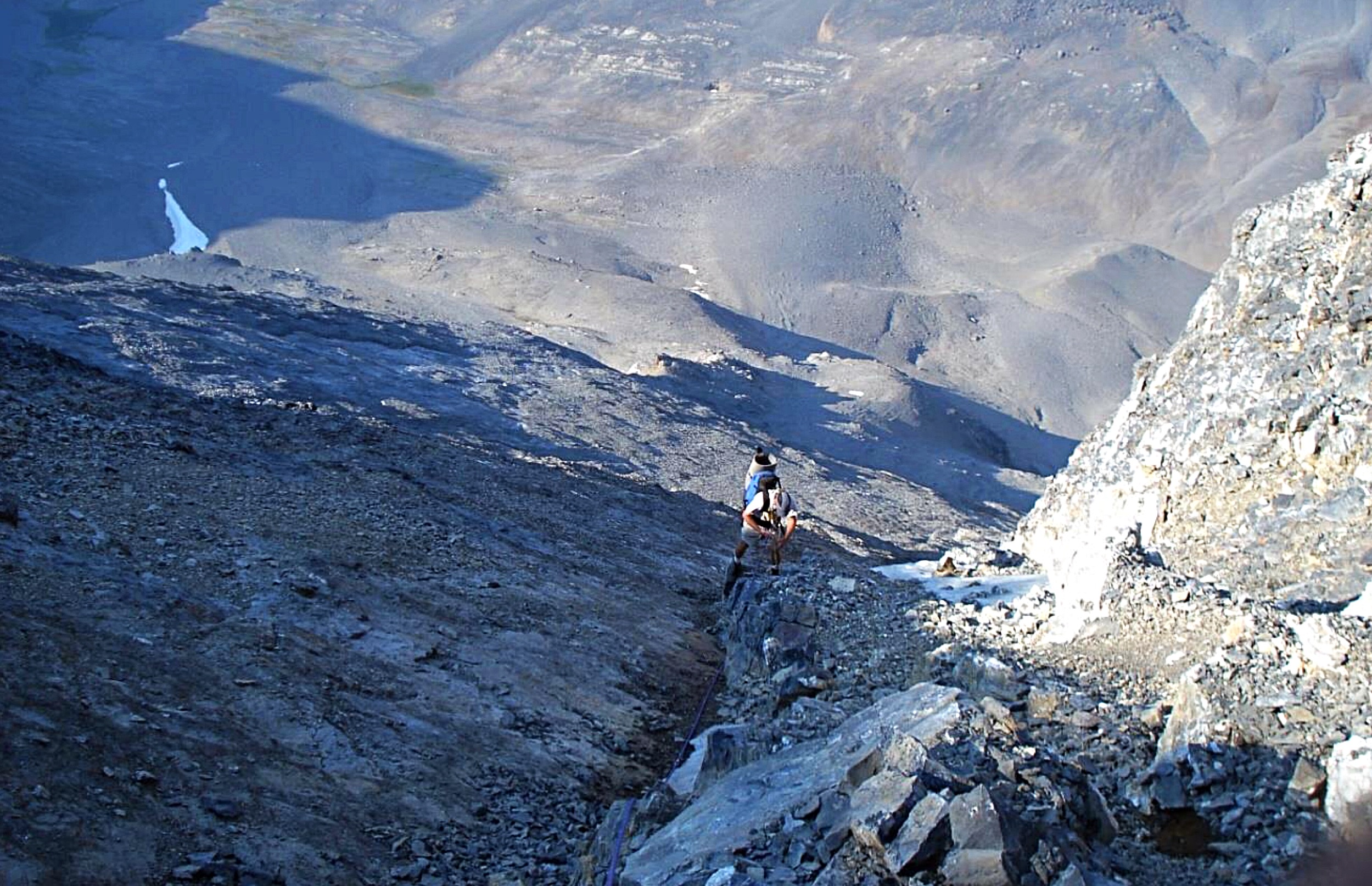
The quickest way to Bad Rock Peak is to descend the Southwest Face of Leatherman Peak. I had soloed the Southwest Face in 2006 and got caught in a thunderstorm near the top. The top of the Southwest Face is seriously underrated with regard to death and fall potential. Despite having a rope and a partner in 2007, I was unwilling to down-climb it. The exposure on this section is frightening. Dennis wanted no part of it either. So we decided to test the unknown and descend the Southeast Face of Leatherman instead. The route was steep and loose but safe. Whenever we faced a route-finding decision, we turned to the west. We carried a 30-meter rope and a few slings for rappels but did not use them. Ultimately we ended up about 200 feet below the Leatherman/Bad Rock saddle. We climbed back up to the saddle.
We climbed Bad Rock Peak via its Northwest Ridge. The day was bright and sunny so we decided to descend the unexplored (at least by us) Southeast Side of Bad Rock Peak. An obvious scree gully extends far down the Southeast Face from the summit. A 10-foot vertical chimney leads to a gully. After a long descent, we got stuck at a 100-foot cliff which was a bit too tall for our doubled 30-meter rope. Besides there were no decent rappel anchors anyway.
Descending Leatherman Peak.
Descending Bad Rock Peak.
We groped around for a while and discovered a rib to the west that allowed us to safely bypass the cliff band entirely. We dropped down a gully with unique vertical sidewalls below a big cave. It provided a quick, safe descent. After reaching the scree below, it was decision time. We were below the Bad Rock/Mount Church saddle. We could climb 300 vertical feet and attempt to find a route up the Northwest Ridge of Church or descend 1,000 vertical feet and climb the peak’s steep North Face. Dennis and I were worried about water because none was available at our planned bivouac site at the Church/Donaldson saddle. We opted to drop down, get water and then climb the North Face of Mount Church.
There were several waterfalls on the face. I remembered reading that there is a Class 3 route but we were not on it. We climbed to the west of the longest continuous west-facing rib on the face. The route was over 1,000 feet long. As we ascended, it became more and more serious due to the risk of rockfall. The face is 40-50 degrees with loose rock everywhere. One bad move and fatal rockfall was possible.
After about 600 feet of unroped scrambling, our nerves were shot. We decided to rope up. We climbed 4 30-meter pitches with no protection and lousy belays from rotten flakes. Then we navigated through a few short vertical sections of low Class 5 terrain. We moved quickly and hit the summit ridge at the steepest part of its knife edge. By 7PM, we reached the summit of Mount Church. It had been 6 hours since leaving the summit of Bad Rock Peak. We were wasted.
Climbing the North Face of Mount Church.
After a short time on top, Dennis and I descended the knife-edged ridge to a wonderful bivouac ledge at the saddle above Pete Creek. But by then we discovered that my CamelBak had leaked 2 quarts of water while climbing the face. This put us in a major bind. We only had 3 quarts between us for supper, breakfast and the entire next day, and there were no water sources in sight. Before dark, I went back along the knife edge looking for accessible snow but could find none. It had been a 14-hour day. We had drunk probably 6 quarts of water each, yet we were still thirsty.
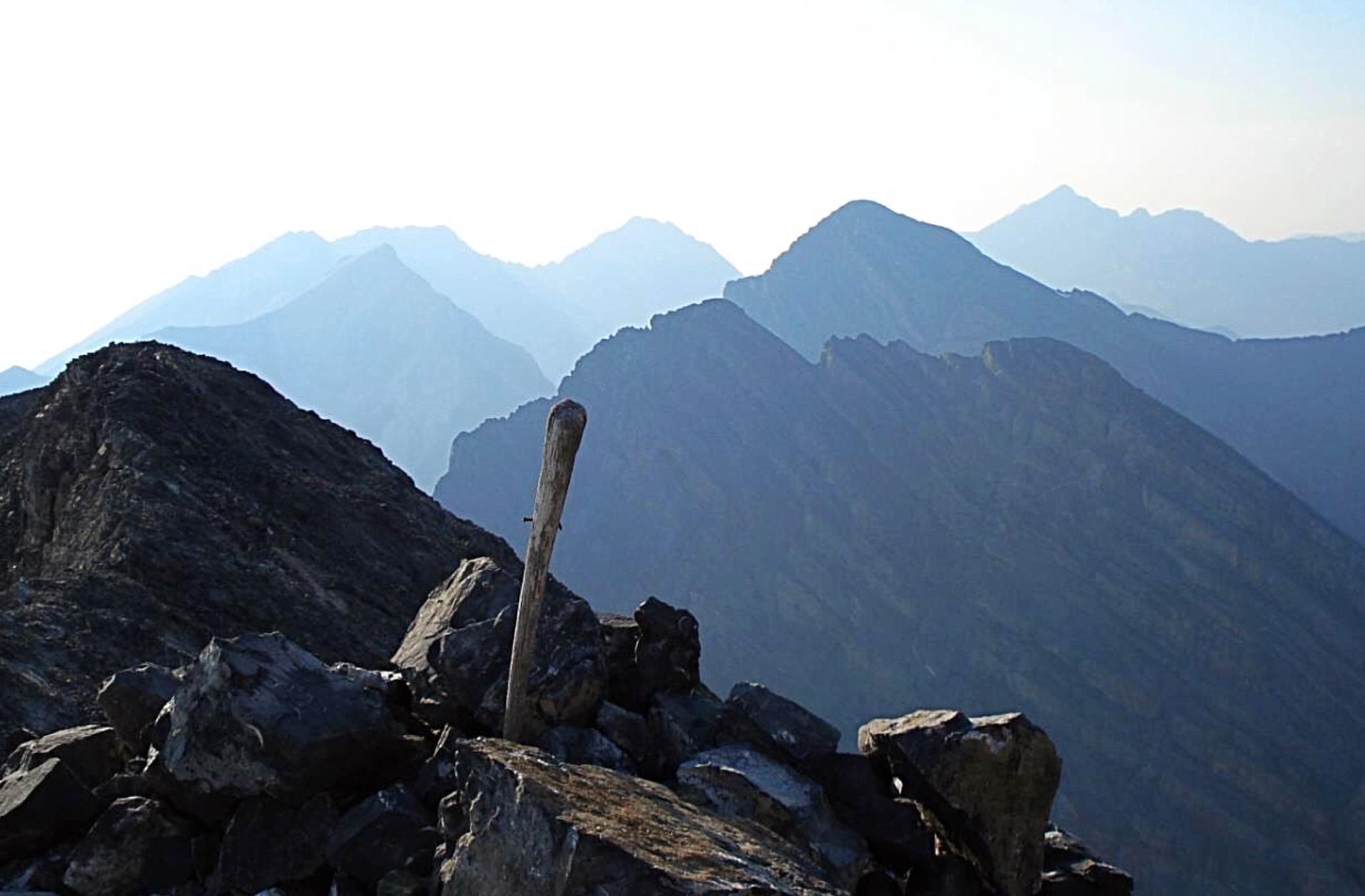
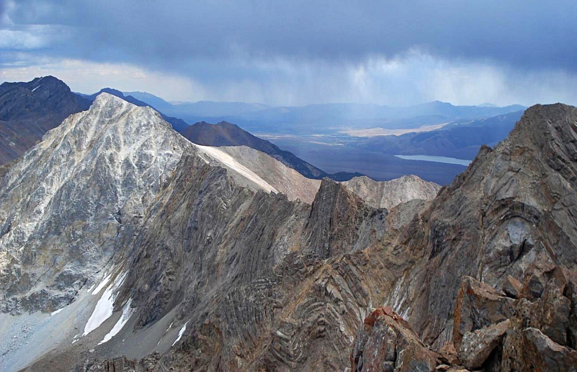
Looking north to Mount Borah from the summit of Mount Church.
August 2
The night was cold but the morning dawned clear again. We took stock of our water supply, sore hands, blistered feet and Dennis’ shoe, which now had a huge tear above the sole. There were plenty of reasons to call it quits. So we did…temporarily. Leaving our backpacks at the bivouac, we climbed Donaldson Peak. But upon reaching the summit, we regretted the decision to quit and changed our minds. So with less than 1 quart of water each, we descended back to the saddle to retrieve and pack our gear, and climbed Donaldson a second time by 8:30AM.

Collecting water on the way to No Regret Peak.
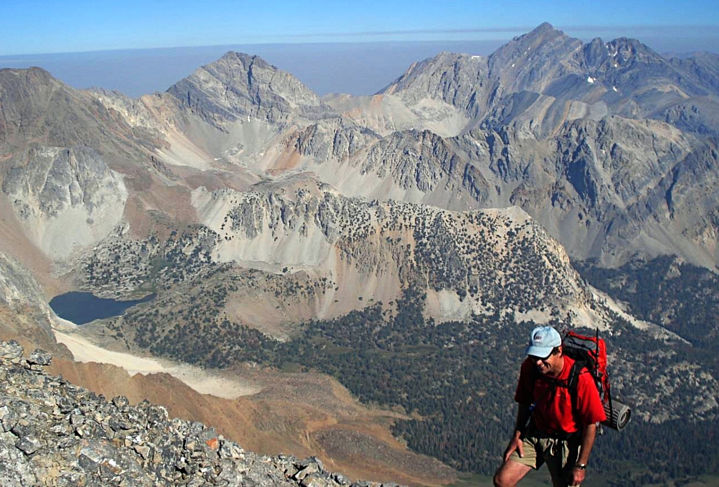
The ridge to No Regret Peak did not look difficult. We came upon a tiny snow patch and spent an hour gathering 4 quarts of water. Our water bottles looked like little piglets nursing from a big snow sow. By 9:30AM, we were on the move. Unfortunately, we got cliffed out twice on the traverse from Donaldson, but eventually we reached the summit of No Regret Peak by 11:30AM. The view of Mount Church was magnificent.
It was again decision time. I had done the Mount Breitenbach to Lost River Mountain traverse twice in the previous 2 years. The thought of going all the way from Mount Borah to Lost River Mountain was appealing but we were tired. We had climbed 9 peaks by good routes in marginal weather. It seemed prophetic to end our adventure on a peak named No Regret. After a short time on the summit, we began our final descent.
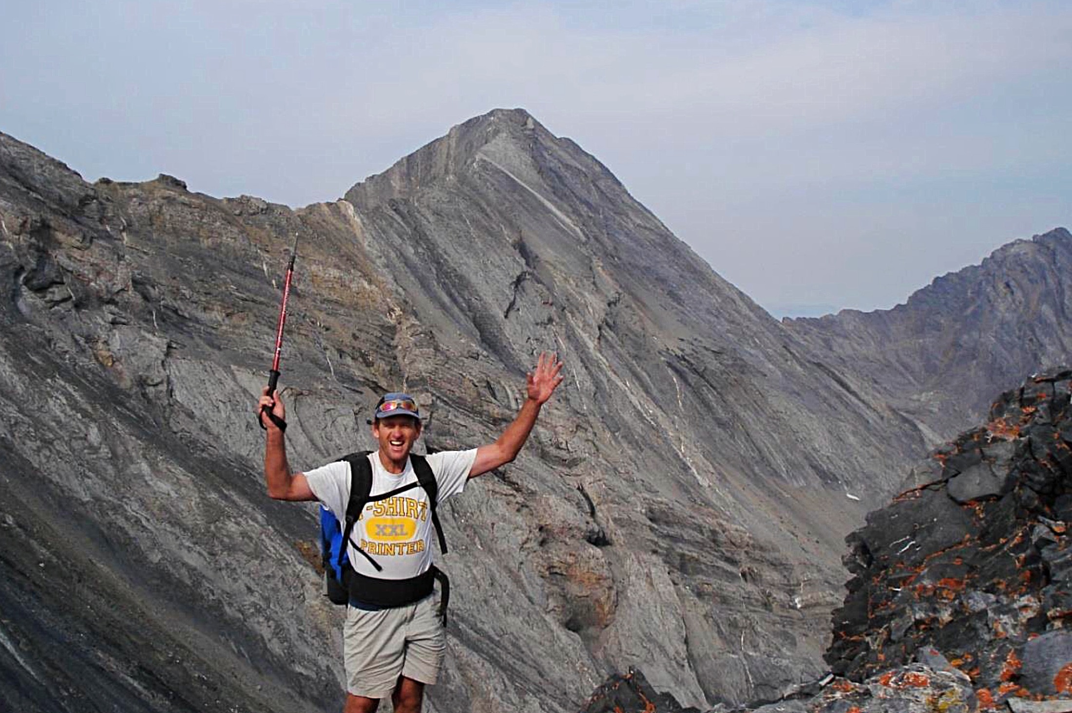
Dennis near the summit of No Regret Peak. Mount Church is in the background.
The descent of Jones Creek Canyon was really fun. Huge cliffs towered overhead. Storm clouds were building as we down-climbed short cliffs and waterfalls in the creek bed. It was while we were traversing the “Serengeti Plain” back to our bicycles that the sky opened up again. Normally, thunderstorms in the Lost River Range last only 10 minutes or so but this one seemed endless. Rain and hail pummeled us for an hour, while lightning surrounded us to the point that we justifiably worried about getting struck. We tossed our trekking poles, sat on our packs, climbed into our bivouac sacks and got soaked.
I don’t know if the Gods were celebrating our adventure or punishing us for not going farther. Finally at 6:20PM, 76 hours after we left the Mount Borah trailhead, we made it to our tent at the base of Lost River Mountain. We were cold, wet and very happy about our great adventure. The following morning (August 3), we packed up, hopped on our bicycles which we had locked to a tree and peddled back to our car at the base of Mount Borah.
Written by contributor Pat McGrane on August 4, 2007
Note from the Associate Editor: The year after the Mount Borah to No Regret traverse, the brothers teamed up again and completed the Bell Mountain to Diamond Peak traverse in the Lemhi Range. Since then, they have both been busy with work and family. They climb when time allows.