Peak 8421 (Center Ridge Peak #1)

Peak 8421 (Center Ridge #1) viewed from the south. John Platt Photo

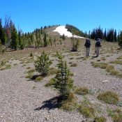
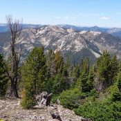
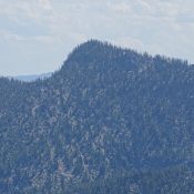
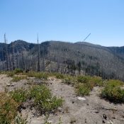
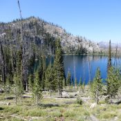
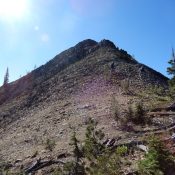
This peak is not in the book. Published August 2020 Peak 8421 is located in the Frank Church River of No Return Wilderness east-southeast of Edwardsburg on an long ridgeline that divides Little Marble Creek and Snowslide Creek. This ridge starts at Cougar Peak and runs northeast over Peak 8421, Peak 8860, and Snowslide Peak to Center Mountain. USGS Edwardsburg … Continue reading

Cougar Peak

Cougar Peak’s summit viewed from the North Ridge. Dave Pahlas Photo

Climbing and access information for this peak is on Page 121 of the book. Published August 2020 Cougar Peak is located south-southeast of Edwardsburg on the west side of scenic Cougar Basin. USGS Edwardsburg Access Access is via the Cougar Basin Trail/FST-004 [(B)(3.2)(c) on Page 137] North Ridge, Class 2 Use the links below to read about the trail and … Continue reading

Marble Mountain

Marble Mountain from Center Mountain. Dave Pahlas Photo

Climbing and access information for this peak is on Page 121 of the book. Published August 2020 Marble Mountain is located in the Frank Church River of No Return Wilderness southeast of Edwardsburg. It is a big peak with nearly a thousand feet of prominence. USGS Edwardsburg Access Access is via the Cougar Basin Trail/FST-004 [(B)(3.2)(c) on Page 137] South … Continue reading

Peak 8340 (Mount Heinous)

Mount Heinous. The Southwest Ridge is on the left. John Platt Photo

This peak is not in the book. Published August 2020 Mount Heinous is located at the east end of a rugged ridgeline that starts at on the main Lick Creek crest and runs northeast over Fitsum Peak (i.e., The Spear) and Mount Horrendous to end on Mount Heinous. Its a long, torturous hike from any direction to reach this peak. … Continue reading

Zena Peak

Zena Peak viewed from the west. John Platt Photo

This peak is not in the book. Published August 2020 Zena Peak is covered by a fire scar. It is located south of Blue Lake Peak between the Secesh River and the South Fork Salmon River. USGS Williams Peak Access Primary access is via the FH-48, Lick Creek/Yellow Pine Road [(B)(3) on Page 136]. Follow this road to FS-361/Zena Creek … Continue reading

Blue Lake Peak

Blue Lake Peak. John Platt Photo

This peak is not in the book. Published August 2020 Blue Lake Peak is located between the Secesh River and the South Fork Salmon River. It is one of four ranked peaks on the ridge that divides the two drainages between the the Lick Creek/Yellow Pine Road to the south and the Warren Wagon Road to the north. USGS Pony … Continue reading