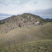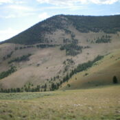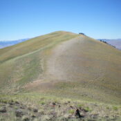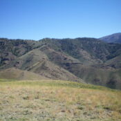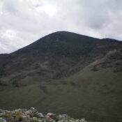
This peak is not in the book. The map elevation is 8,101 feet. Published December 2024 Newly-ranked Peak 8115 is the high point on a ridgeline that separates Coal Creek from East Basin Creek in the Eastern Salmon River Mountains. It is most easily climbed from a rugged Jeep/ATV trail in the Coal Creek drainage and a ridge climb from … Continue reading