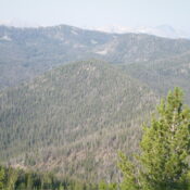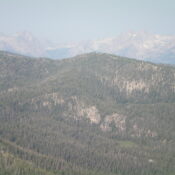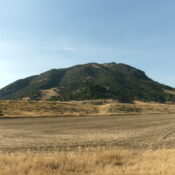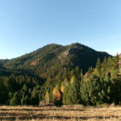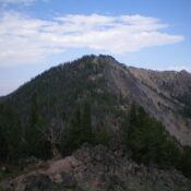
This peak is not in the book. Published December 2024 Prospect Point is a rocky peak that towers over beautiful Elk Lake and the headwaters of Elk Creek in the White Cloud Mountains. It is most easily climbed from the Rough Creek Trailhead. Prospect Point sits atop a high north-south ridgeline that begins at the Salmon River to the north … Continue reading