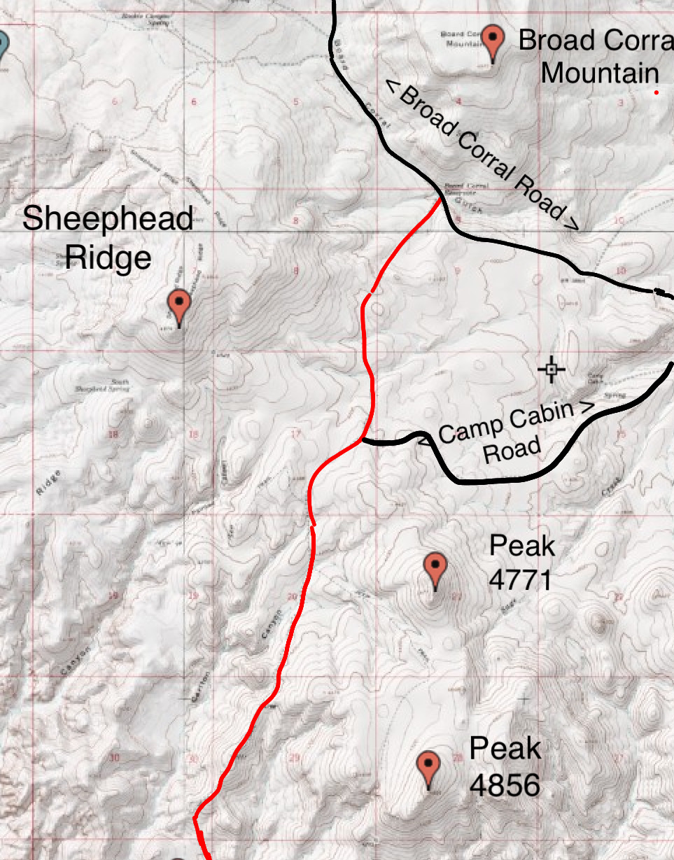
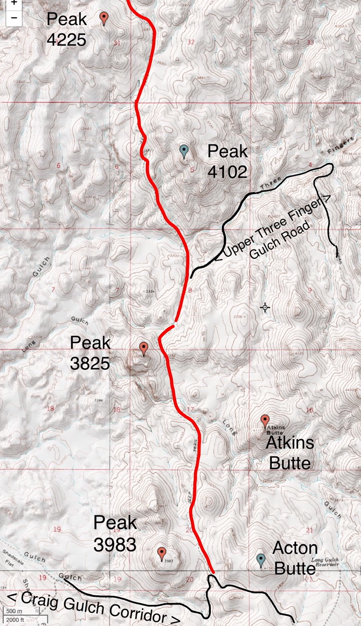
This road runs between the Broad Corral Road in the north and the Craig Gulch Road in the south. It can also be accessed from the Camp Cabin Road and the, extremely rugged and exposed Upper Three Finger Gulch Road.
This map shows the southern section of the Owyhee Trail Road.
This map shows the northern section of the Owyhee Trail Road.
Caution: The Owyhee Trail Road is a true 4WD Road and us used more by ATVs than 4WDs. The Oregon Owyhee peaks are desert peaks. Remember above all else that this is wild, remote desert country. Be prepared for difficult and sometimes treacherous travel conditions including bad and/or impassable roads, heat, rattlesnakes and every other conceivable hazard found in desert terrain. Take a 4WD vehicle with good all-terrain tires (6 or more ply sidewalls). Don’t depend on cell phone coverage. Buy BLM Surface Management maps to supplement topographic maps. Keep your gas tank full. Don’t expect anyone to find you if you get stuck or your battery goes dead. Consider taking an emergency car battery as a backup. A shovel is a necessity and chains are essential in wet weather.