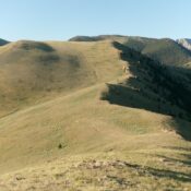
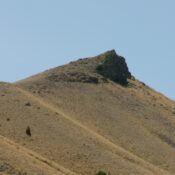
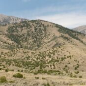
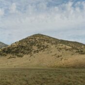
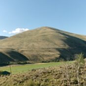
This peak is not in the book. Published October 2025 Peak 7180 is located east of Arimo. It sits above the Deer Creek drainage in the thickly-forested Portneuf Range. This area is a mix of private and public land, so be careful. USGS Lava Hot Springs Access From Exit 36/Downey on I-15, head briefly southeast on US-91 to a signed … Continue reading